Trail Overview
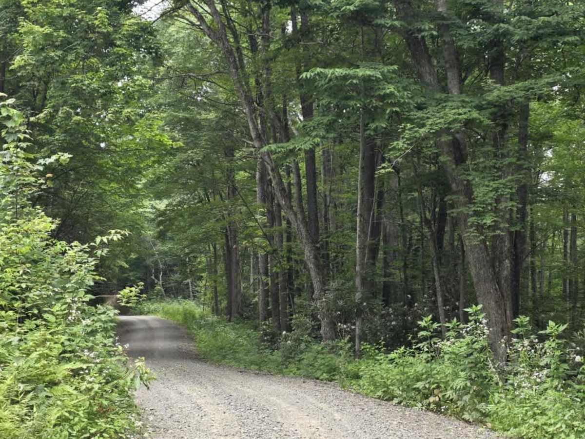
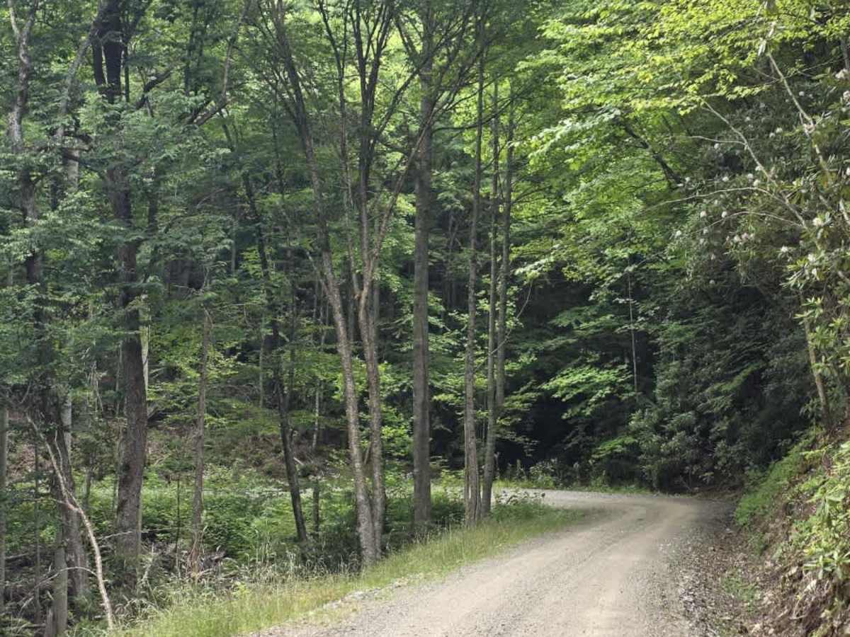
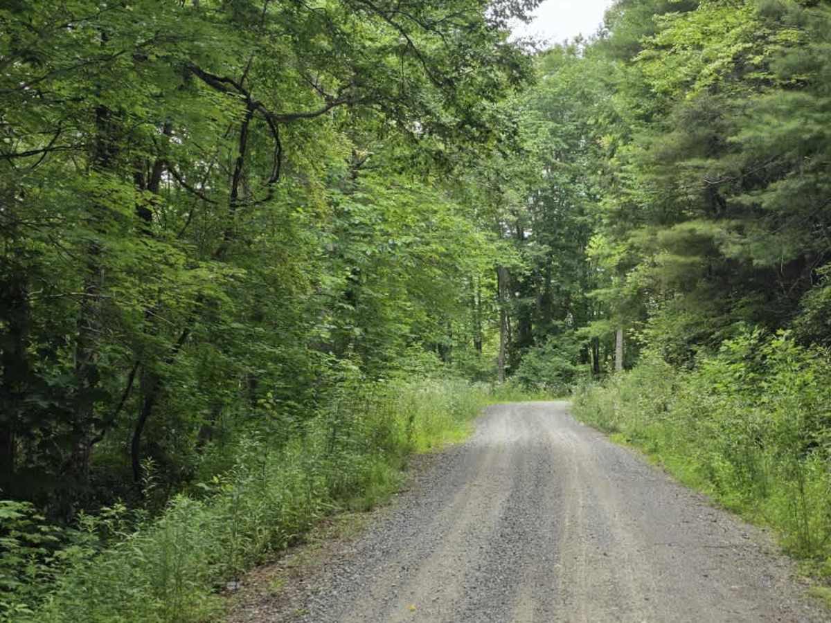
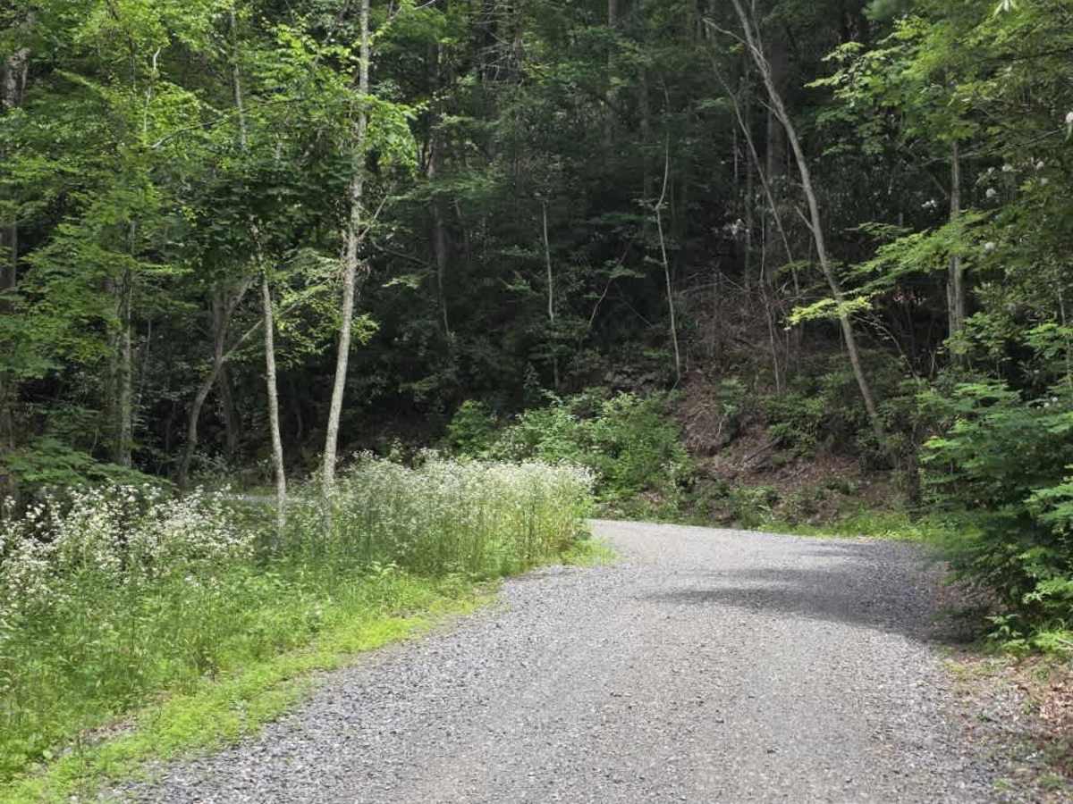
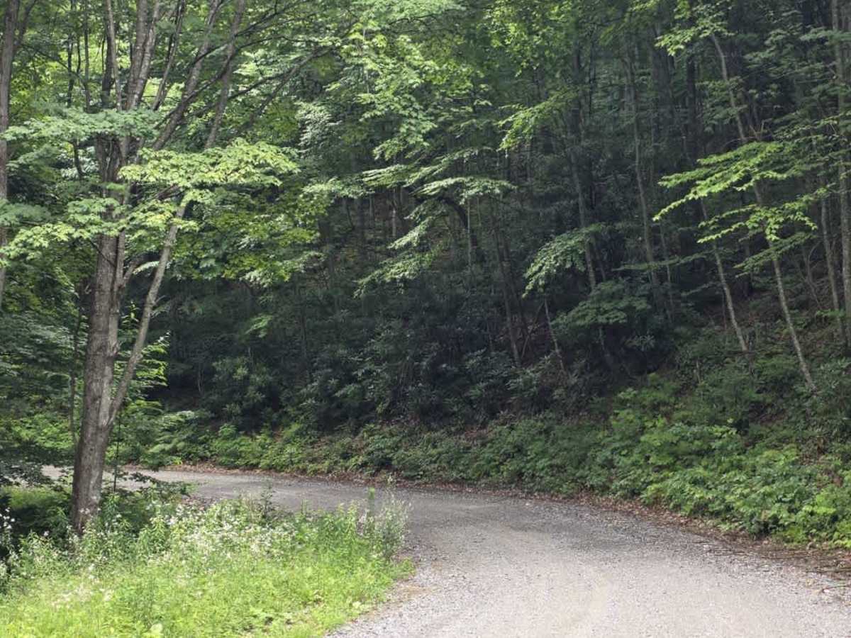
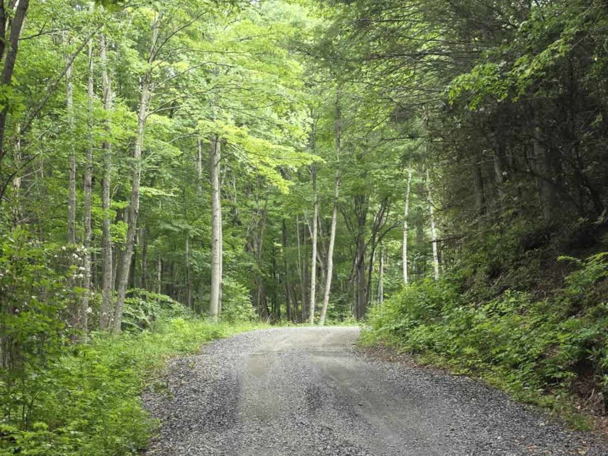
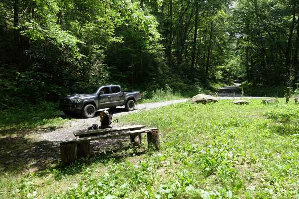
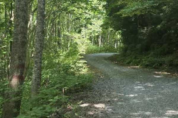
Chestnut Ridge is a long gravel route that runs through portions of Martha Sundquist State Forest and Cherokee National Forest, connecting Brown Gap Road with Gulf Road. The road varies from a wide single lane to a narrow two-lane surface, with plenty of pull-off opportunities available for passing or stopping along the way. Most of the route is calm, manageable, and easy to drive, with a generally consistent gravel surface and no sustained technical terrain. The biggest change in difficulty comes at the Gulf Road entrance, where drivers encounter a deeper water crossing. This crossing is the primary reason Chestnut Ridge earns a higher rating than the rest of the trail would otherwise suggest, and water depth can vary with recent rainfall. Outside of this feature, the route remains a relaxed forest drive with plenty of room to maneuver and a scenic setting through two large public land areas.
Difficulty
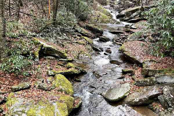
Chestnut Ridge is rated a 3 primarily because of the deeper water crossing near the Gulf Road entrance. While the majority of the trail is a manageable gravel road that would otherwise align more closely with a Level 1 experience, the water crossing introduces a meaningful traction and depth consideration that requires additional caution. The remainder of the route does not feature significant ruts, ledges, or sustained technical obstacles. Drivers should evaluate the water level before entering, particularly after heavy rain, as conditions can change quickly. Overall, the trail remains approachable, with the water crossing serving as the defining feature behind the Level 3 rating.

 Offroad