Highmarket Mackay Road Connector

Total Miles0.1
Technical Rating
1Easy
Best TimeSpring, Summer, Fall
Trail Type60" Trail
Accessible By
Open Trail Map

Trail Overview

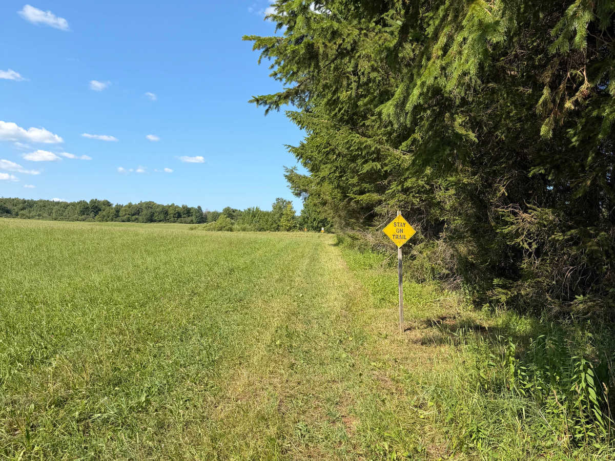
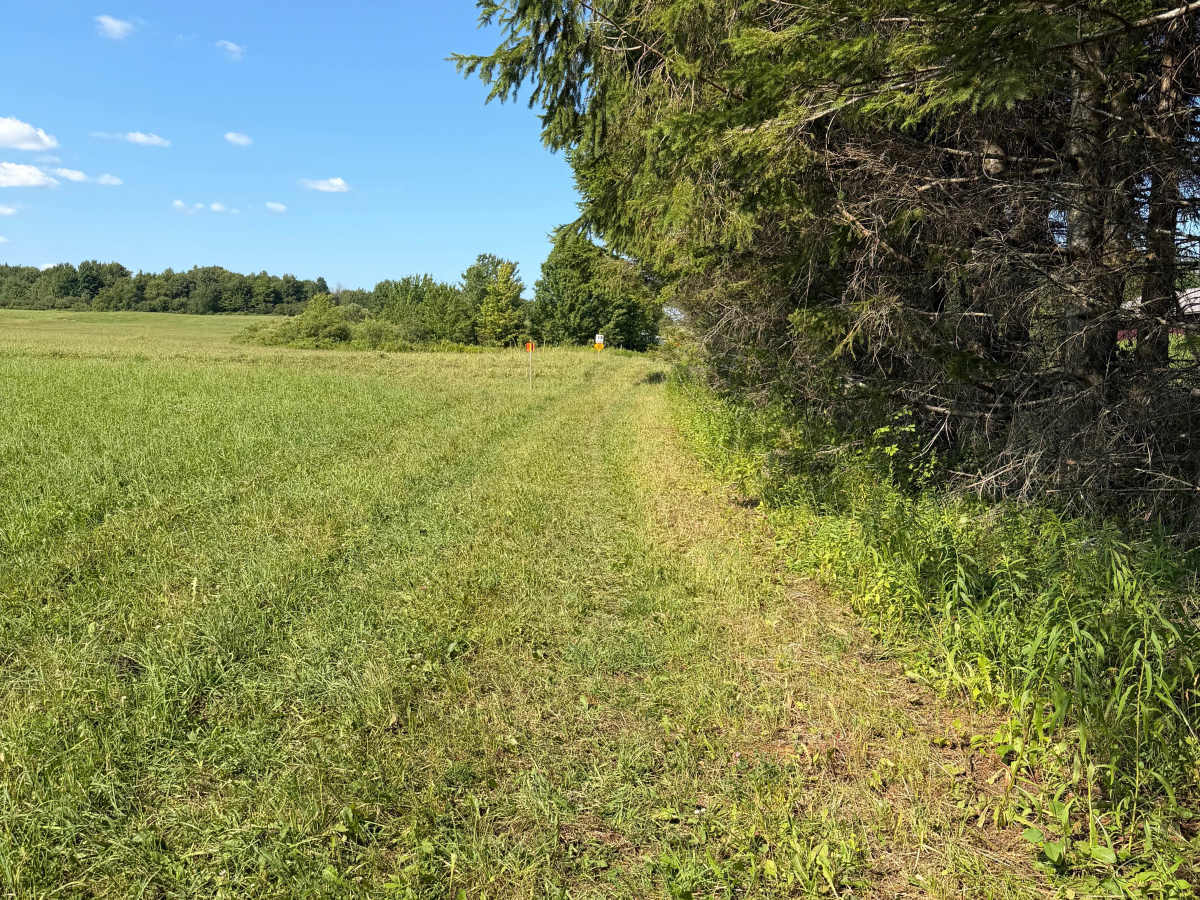
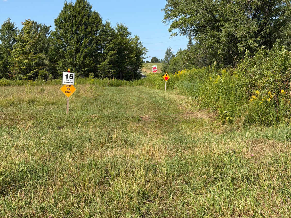
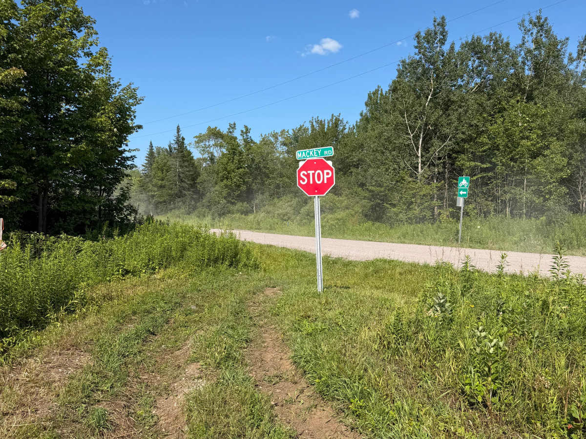
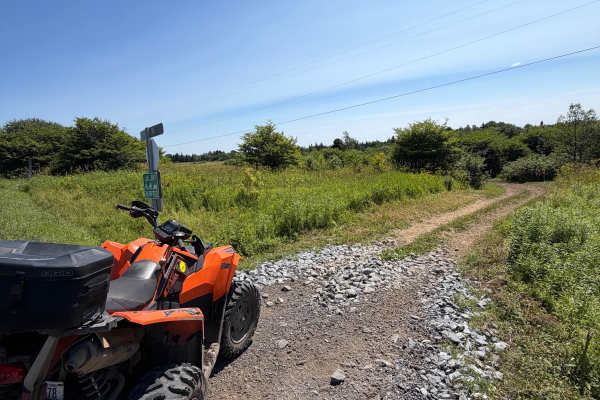
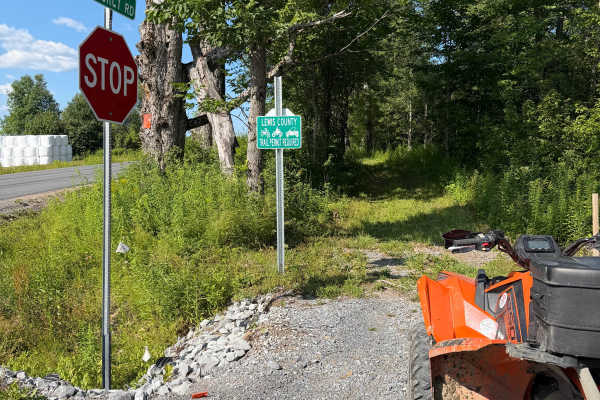
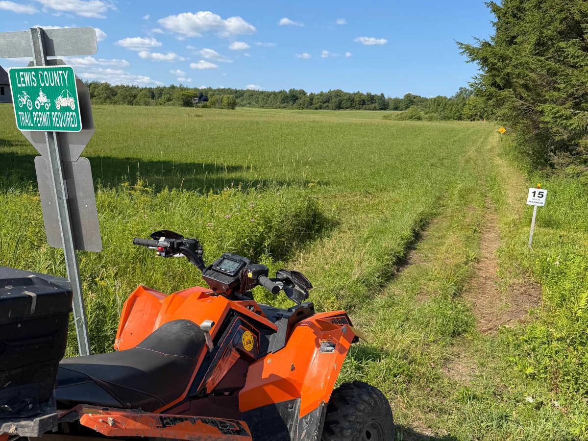
This route is a connector trail within the Lewis County ATV Trail System. Riders can expect a mostly flat, grassy two-track that follows alongside a row of evergreen trees. The trail is well-defined and provides an easy connection between other sections of the trail system. As you approach the end of the trail, the surface opens up and transitions from grass to gravel just before reaching a stop sign. At the stop sign, follow the posted ATV route signage onto the seasonal road, which provides access to additional trails within the Lewis County ATV Trail System. Stay on the designated trail while traveling through the field sections and obey all posted signs and speed limits. A valid Lewis County ATV Trail Permit is required to travel this route.

Photos of Highmarket Mackay Road Connector

Difficulty

This route is a safe two-track trail that is well marked with plenty of sight distance for any level rider.

Technical Rating

1

Highmarket Mackay Road Connector Trail can be accessed by the following ride types:

  • Single Track
  • 50 Inch
  • 60 Inch

Highmarket Mackay Road Connector Map

The onX Offroad Difference

onX Offroad combines trail photos, descriptions, difficulty ratings, width restrictions, seasonality, and more in a user-friendly interface. Available on all devices, with offline access and full compatibility with CarPlay and Android Auto. Discover what you're missing today!

Open Trail Map