HMW Crofoot Hill–Mackay Trail

Total Miles0.3
Technical Rating
1Easy
Best TimeSpring, Summer, Fall
Trail Type60" Trail
Accessible By
Open Trail Map

Trail Overview

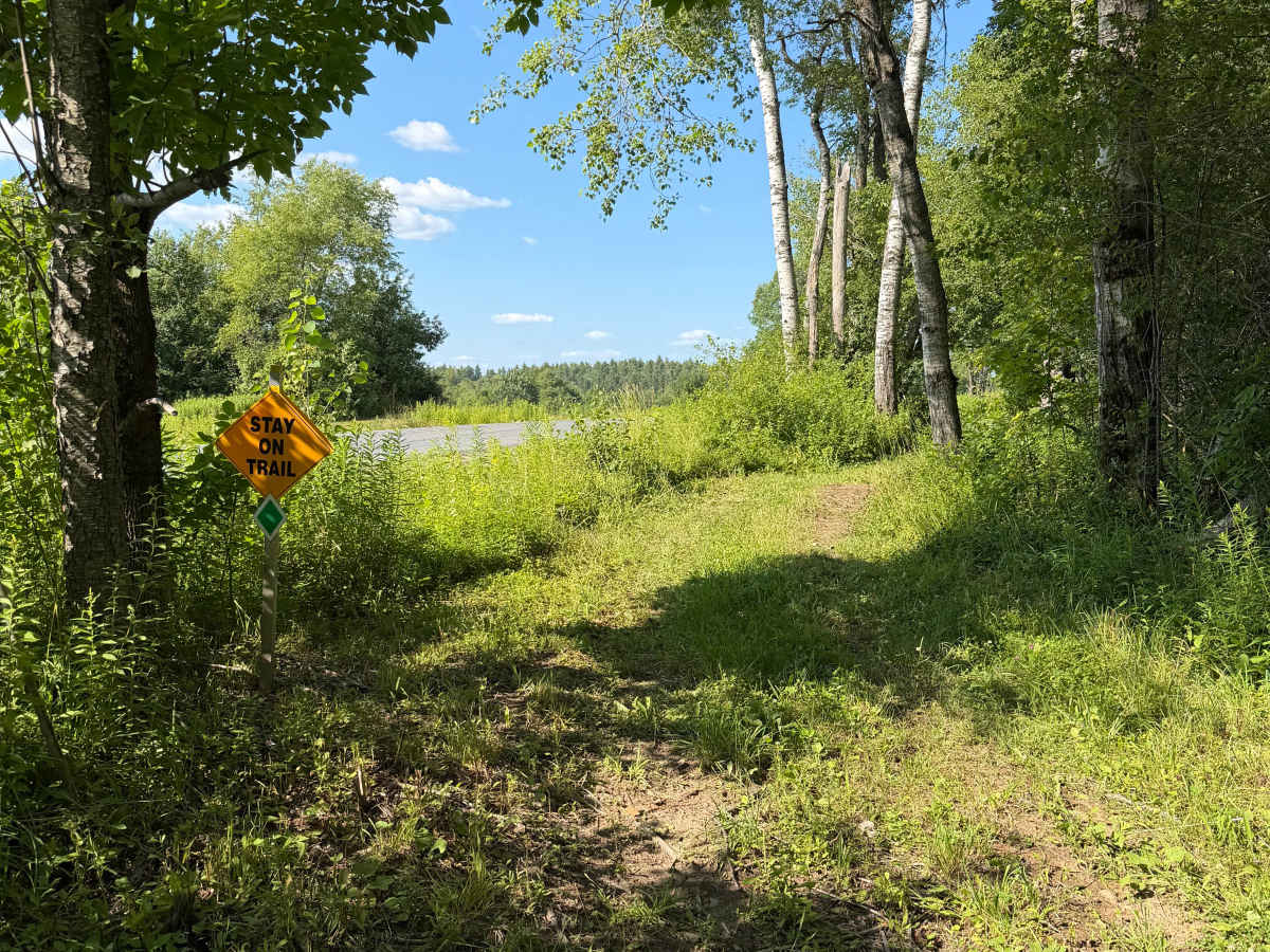
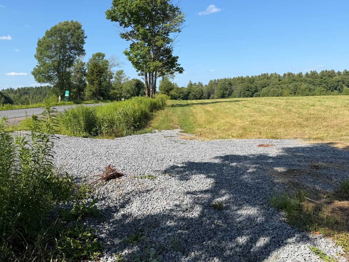
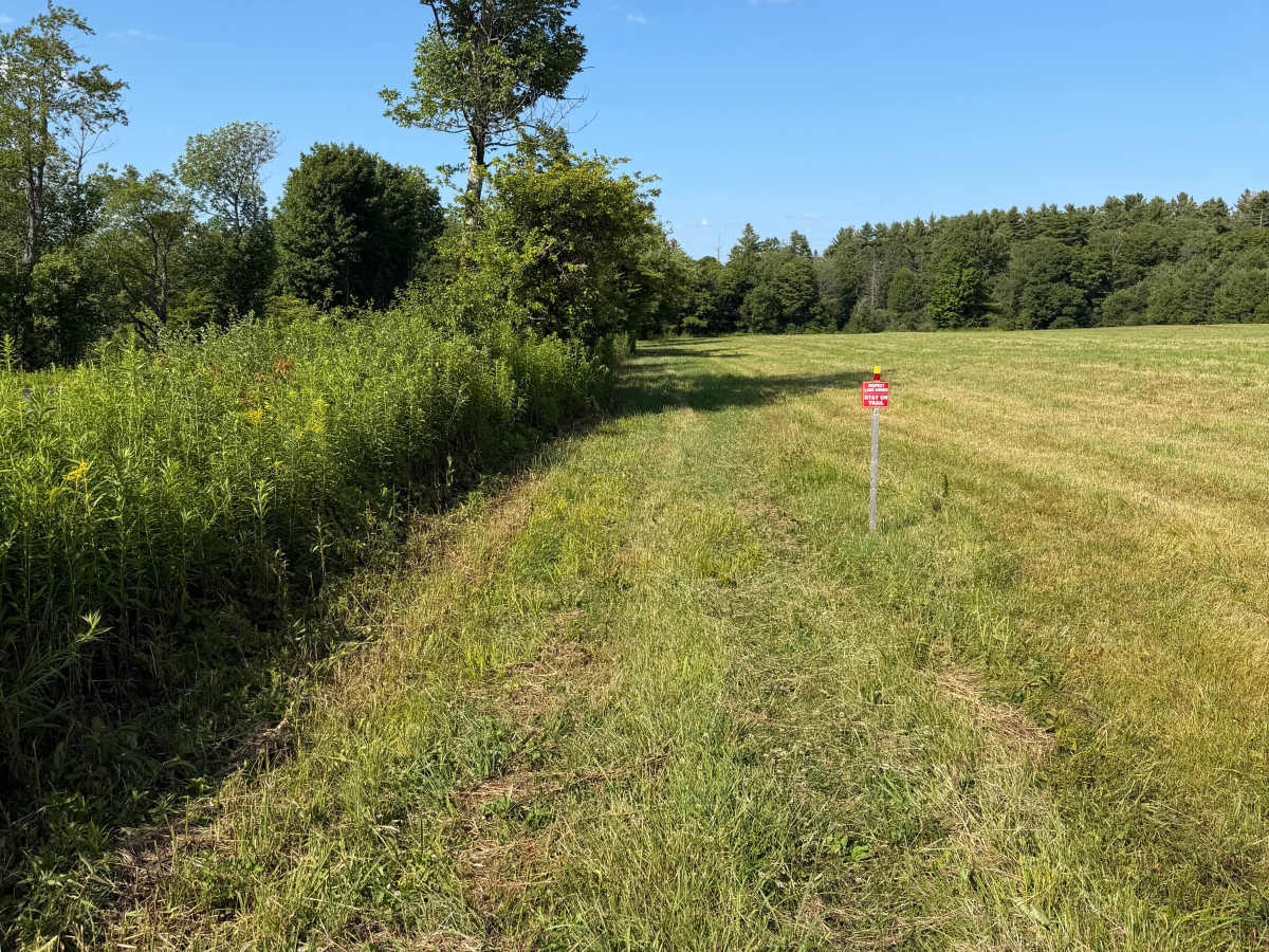
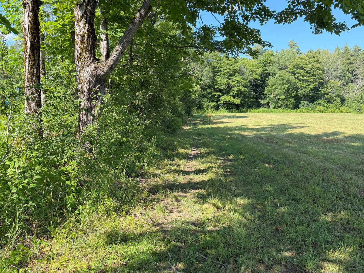
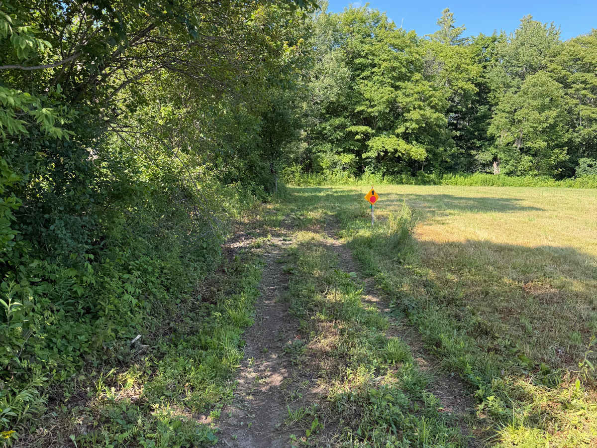
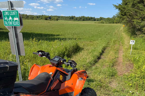
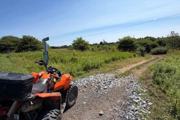
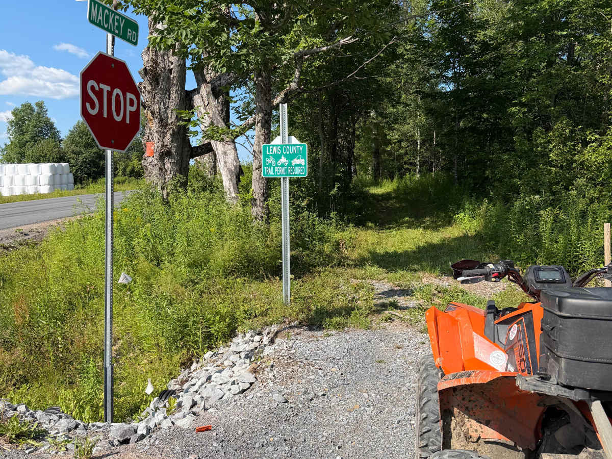
This route follows a maintained grassy trail corridor along the edges of an open field with short sections passing through wooded cover. The trail surface is primarily grass and packed soil with light two-track wear and occasional minor rutting. Riders will encounter mostly level terrain with wide open visibility through the field sections. A few portions of the route narrow slightly where the trail runs between the field edge and surrounding trees and brush. A Lewis County ORV permit is required to travel this route.

Photos of HMW Crofoot Hill–Mackay Trail

Difficulty

This is a relatively easy, non-technical trail suitable for most ATV riders. Please use your headlights for increased visibility and keep right.

Technical Rating

1

HMW Crofoot Hill–Mackay Trail Trail can be accessed by the following ride types:

  • Single Track
  • 50 Inch
  • 60 Inch

HMW Crofoot Hill–Mackay Trail Map

The onX Offroad Difference

onX Offroad combines trail photos, descriptions, difficulty ratings, width restrictions, seasonality, and more in a user-friendly interface. Available on all devices, with offline access and full compatibility with CarPlay and Android Auto. Discover what you're missing today!

Open Trail Map