Byron Corners Rd Connector

Total Miles0.2
Technical Rating
2Easy
Best TimeSpring, Fall, Summer
Trail Type60" Trail
Accessible By
Open Trail Map

Trail Overview

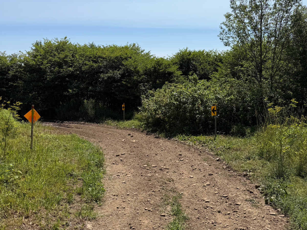
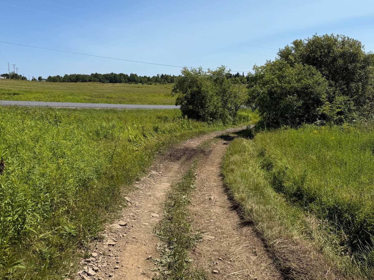
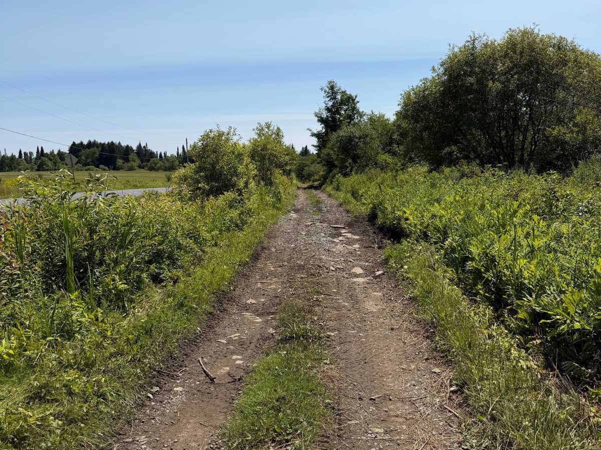
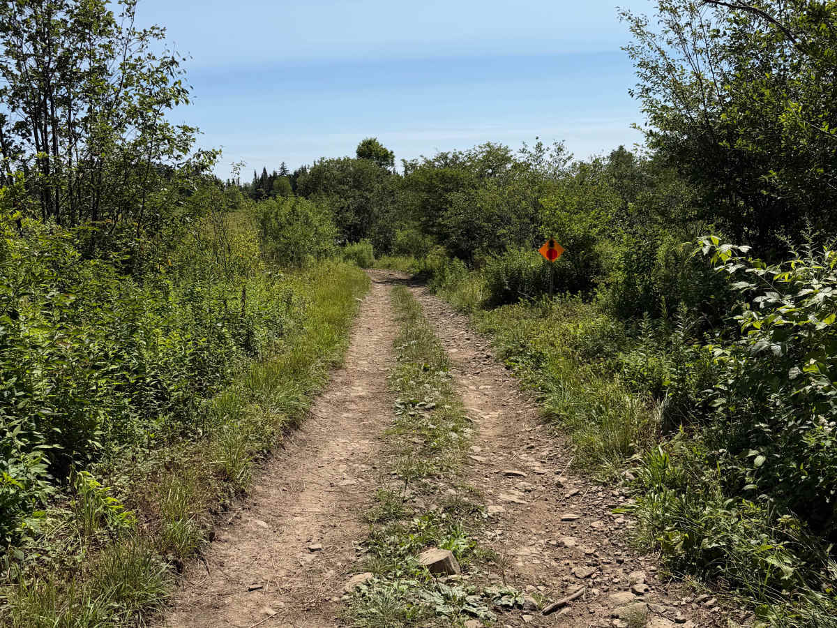
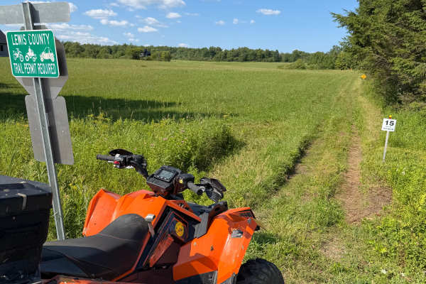
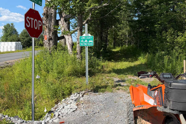
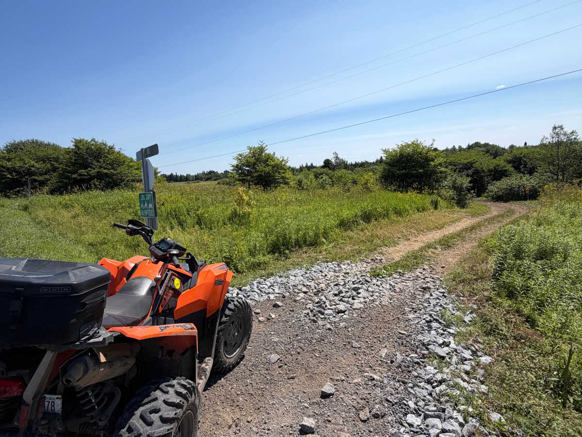
This short spur connects the main trail to Byrons Corners Road, providing a convenient access point to the Lewis County ATV Trail System. The route follows an open corridor through fields and low brush on a maintained two-track with gentle rolling terrain. A Lewis County ORV permit is required.

Photos of Byron Corners Rd Connector

Difficulty

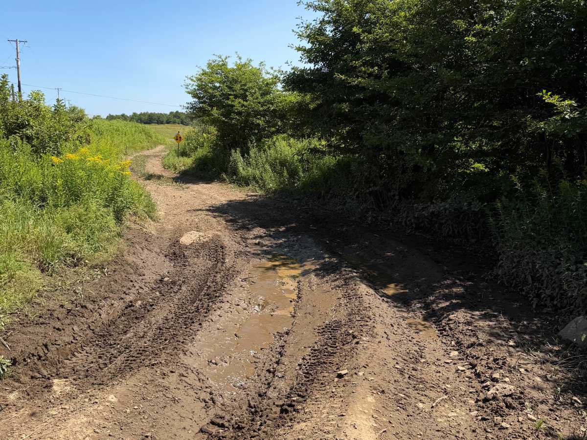
The surface consists primarily of hard-packed dirt mixed with loose stone and gravel, with occasional shallow mud holes and light rutting that can become more pronounced after rainfall. Riders will encounter a few gradual curves before reaching a clearly marked stop sign at Byrons Corners Road. Visibility is excellent through the open sections, making this an easy to navigate connector.

Technical Rating

2

Byron Corners Rd Connector Trail can be accessed by the following ride types:

  • Single Track
  • 50 Inch
  • 60 Inch

Byron Corners Rd Connector Map

The onX Offroad Difference

onX Offroad combines trail photos, descriptions, difficulty ratings, width restrictions, seasonality, and more in a user-friendly interface. Available on all devices, with offline access and full compatibility with CarPlay and Android Auto. Discover what you're missing today!

Open Trail Map