Trail Overview
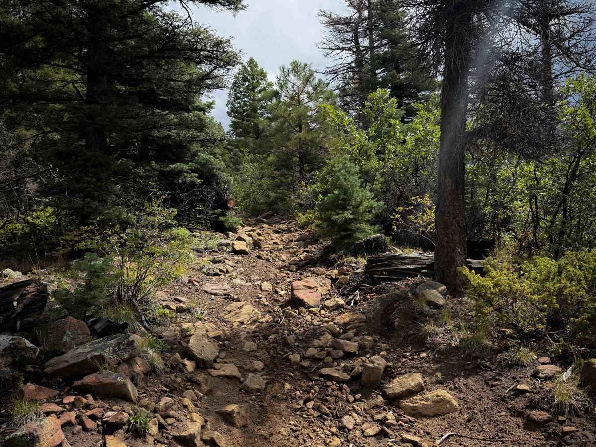
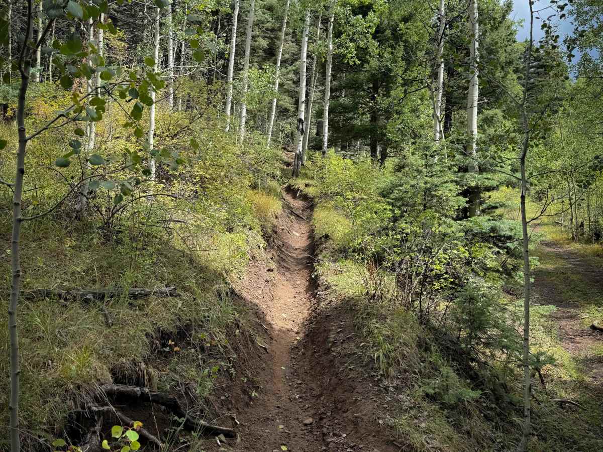
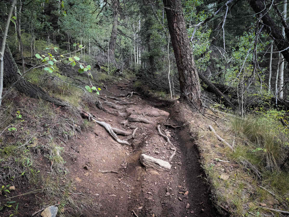
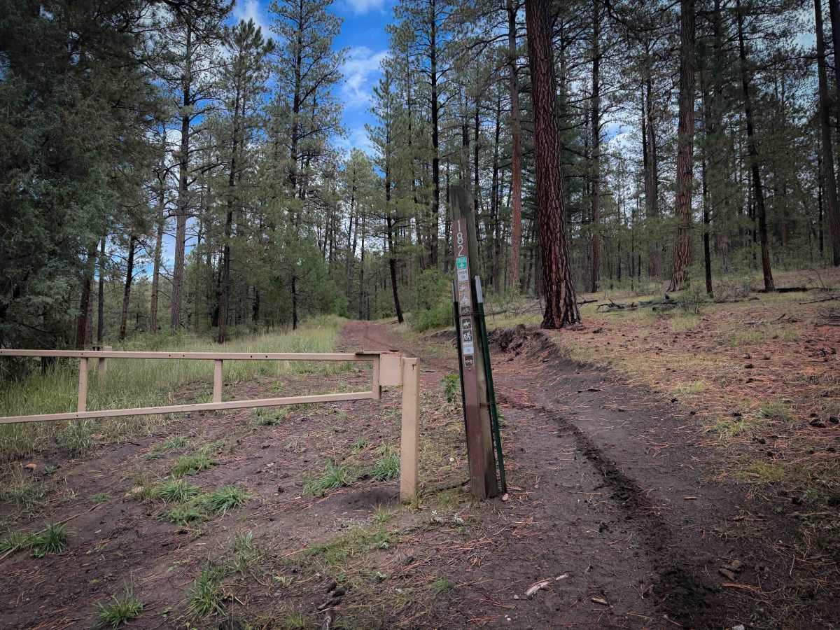
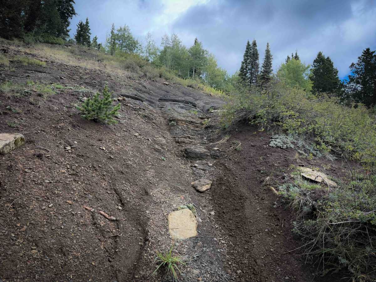
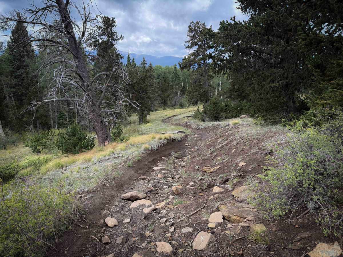
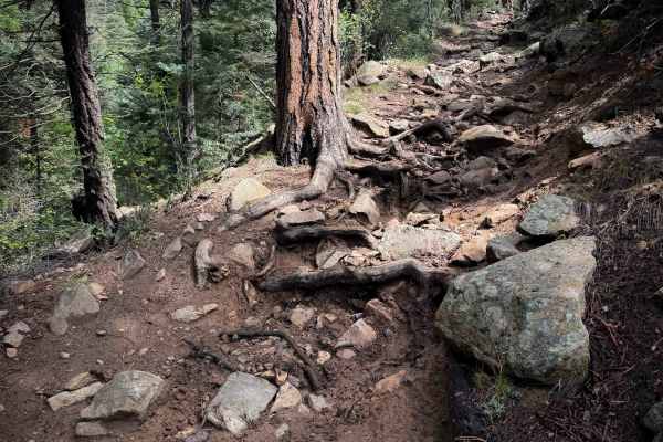
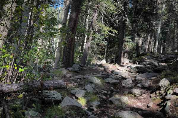
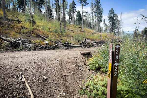
Ojito Maes Trail is a long trail in the Carson National Forest with varied terrain and scenic views through the Sangre de Cristo Mountains. The west end starts at the Amole Trailhead on FS Road 703, and it starts as an easy, wide, and smooth ATV trail through a forest of scrub oak and ponderosa pine. It has minor loose rock in the trail at the beginning, with shallow ruts, on a gradual slope. It starts to get steeper, with more frequent roots, ruts, and rock in the trail as it goes east. There are several steep climbs full of loose cobble, small boulders, short rock ledges, and slippery roots. Some sections are more off-camber from deeper rain ruts. From the beginning, there are several intersections that are unmarked and confusing, as it intersects with several unmarked roads throughout the route, making downloaded maps essential. After the initial climb and intersection with Trail 5, it flows more gradually on the hilltop for several miles, with wide road sections interspersed with narrower trail sections. The most important thing to note about this trail is that after the intersection with Trail 4, the trail continues east through a narrow segment that is more like singletrack, and likely not suitable for ATVs. It climbs up a rutted and narrow trail, with a couple of big root obstacles right away. It then flows through the aspen trees on a single track with a few steep climbs and descents, side-hilling across grassy slopes. This is one of the harder parts of the trail. The single track portion continues until the trail intersects with Gallegos Road. After the intersection with 492, the trail is wide enough for ATVs again, and descends down towards Trail 8 with frequent roots and rocks again. This trail is open to motorized use from 3/15 to 11/15.
Difficulty
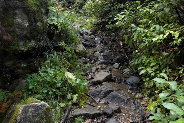
Although designated for 50-inch vehicles, the middle portion of this route between the intersections with Trails 492 and 4 is very narrow, more like a single track, and not suitable for ATVs. This is the hardest part of the trail and is of intermediate difficulty due to root obstacles and steep, rutted hills. The trail is suitable for ATVs from the east entrance to connect from Trail 8 to Gallegos Road. It is also suitable for ATVs on the west side for the first 5 miles. The middle, however, is likely too narrow. Expect typical high-elevation obstacles such as slick roots, loose rocks, short rock ledges, changing weather conditions, mud, and ruts. There are several rutted sections that are more off-camber, steep climbs and descents, and lots of chunky rock.

 Offroad