Hoodoos and Calderas

Total Miles29.3
Technical Rating
6Moderate
Best TimeSpring, Summer, Fall
Trail TypeFull-Width Road
Accessible By
Open Trail Map

Trail Overview

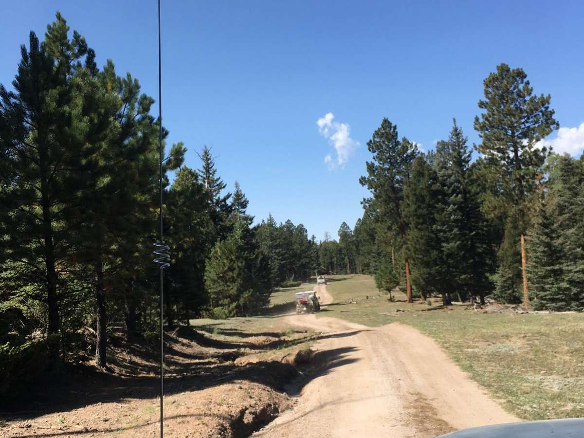
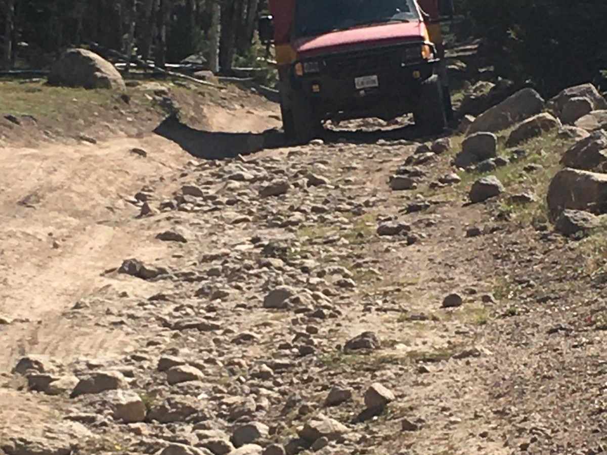
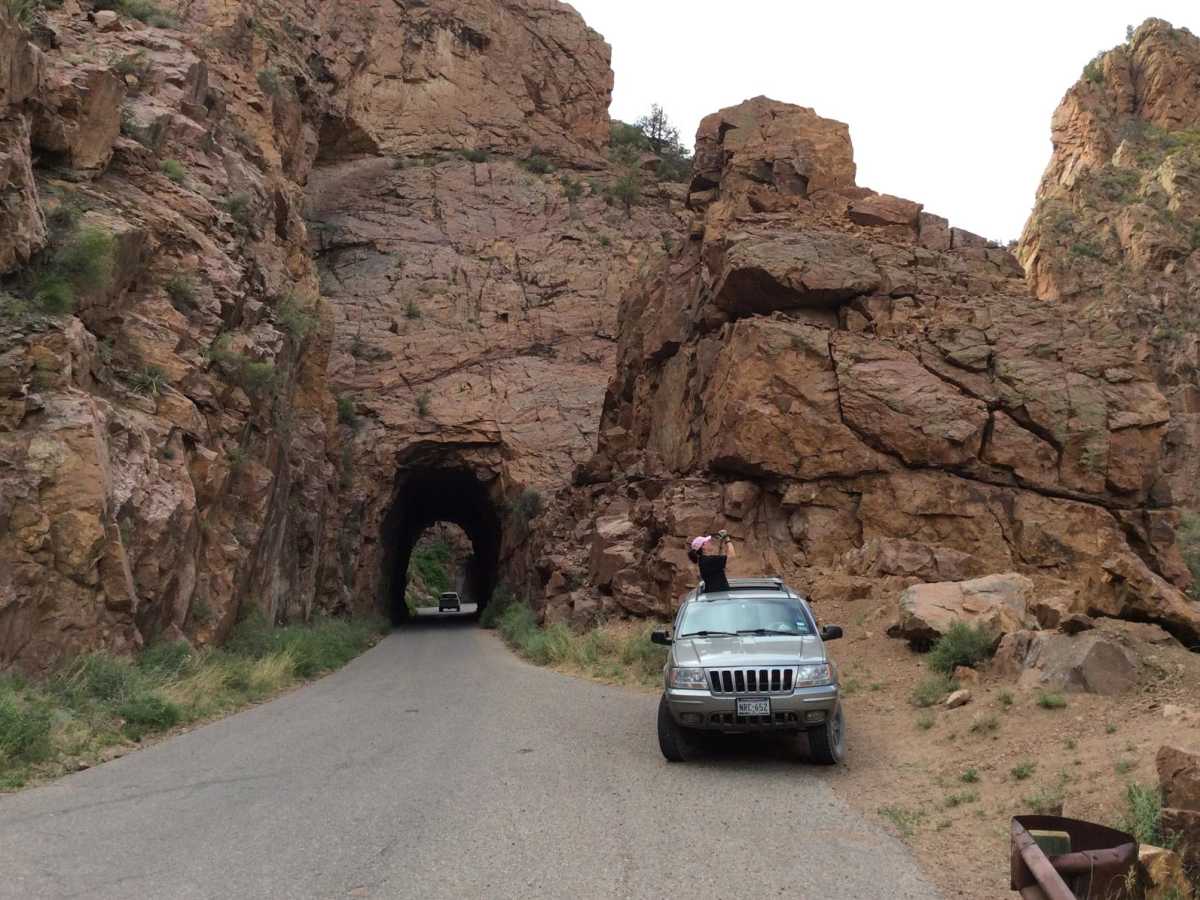
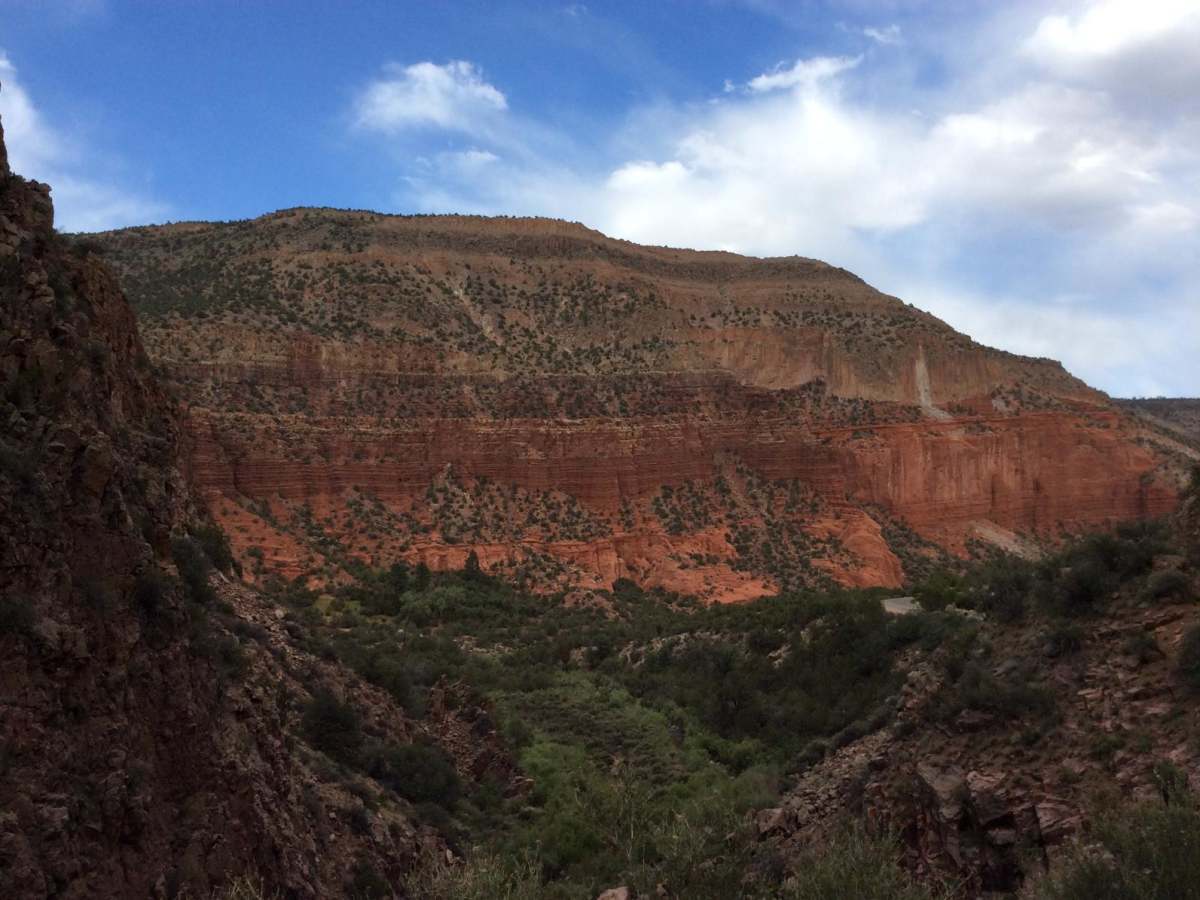
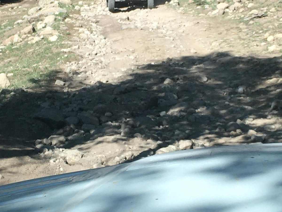
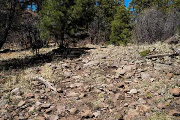
Hoodoos and Calderas is a spectacular high-elevation route in the Jemez Mountains designed for experienced four-wheel-drive enthusiasts seeking challenging terrain and sweeping volcanic views. Winding approximately 29.4 miles along the northern rim of the Valles Caldera National Preserve, the trail climbs from 8,260 feet to a peak elevation of 10,230 feet, offering bird's-eye perspectives of unique tent rock formations and ancient volcanic craters. Most of the trail consists of a hard-packed rock base, but drivers will face a challenging technical rating of 6. This is highlighted by a rugged two-mile section of rock garden that demands careful line selection to avoid getting hung up on boulders. With over 3,780 feet of elevation gain, the undulating route requires a high-clearance four-wheel-drive vehicle and solid driving skills. Navigating the spur trail to the most impressive caldera overlook and campsite requires conquering a series of severe washouts measuring 36 inches or more, making experienced spotters and high ground clearance essential to prevent vehicle damage. Capable high-clearance four-wheel-drive vehicles and SxSs are recommended for these obstacle-heavy sections, as stock SUVs may struggle with the deep washouts and rock gardens. Outside of the technical driving, visitors can explore the rich history of the Santa Fe National Forest, soak in nearby natural hot springs, or venture south on Forest Service Road 376 to view the historic Gilman Tunnels. Due to the high elevations of the trail, the best season for travel is typically late spring through autumn, as winter snowpack often makes these mountain roads impassable.

Photos of Hoodoos and Calderas

Difficulty

The technical section is only 0.5 miles while the rest of the road is hard pack rock base.

Technical Rating

6

Status Reports

Add Status Report
Alfred G.
Dec 07, 2025
2021 Toyota Tundra
Open
Muddy/WetSnow/Ice
Passing by to get my Christmas tree and 376 is still open. Its really nice, usually its closed this time around.
Dan A
Nov 09, 2025
2021 Jeep Wrangler
Open
Dusty
Still open as of 9 Nov. Info: From 126 (by Fenton) through Espanola is approximately 60 miles. I was able to get through in about 3 hours. Not difficult this time, dry and looks like it was somewhat maintained. Did the whole thing in 2wd, tires around 15 PSI for comfort.
Omar Loera
Nov 03, 2025
2015 Toyota 4Runner
Open
Few people were camping as well as we did, this was our first stop on are way to Ophir.
Duane Schafer
Sep 01, 2025
Open
Heavy use on Labor Day kicking up lots of dust. Rain threatened but never materialized on the trail (road?).
Amanda Darby
Jul 27, 2025
Open
31-Mile road is open and easy. The difficult "unmaintained" section has been improved and all the previously mentioned boulder areas are now on the side of road. There are some sandy areas and a few spots (if muddy) that could be challenging without proper tires. My R1T made it without a blink and I'd take a newer model Subaru with good tires on a heartbeat. I respectfully submit that OnX should reclassify this route to a 3/10.
Scott M.
Jul 25, 2025
2023 Jeep Gladiator
Open
NormalDusty
It seems the road has been bulldozed and there is no longer a 6 technical section. We did this trail and 31 mile road from Jemez springs to Espanola. Could be done with a stock JL or JT sport.
Jim C
Jul 18, 2025
Open
Normal
Drove 31 mile road from pavement to pavement and never found the difficult section
mark Tenny
Jul 05, 2025
Open
Normal
Good conditions. Plenty of space for camping. The north side of the trail has the most technical part with a great view and camping area as the payoff. My stock Gladiator handled it fine.
Gabriel Saavedra
Apr 18, 2025
Open
Dusty
Normal visit some snow drifts in the shade, but passible. dusty trail
Dan A
Apr 12, 2025
Open
Muddy/Wet
The trail is open, but approximately 16 miles in, deep snow obstructs the path. Side-by-sides and dirt bikes have been unable to pass through. The snowpack is soft and melting, yet remains about 24 inches deep based on my observations. Going to need some folks running 40’s to plow a path through.
Ryan Killian
Mar 18, 2025
2001 Toyota Sequoia
Temporarily Closed
Fire Danger
Jordan Larson
May 19, 2024
2022 Toyota 4Runner
Temporarily Closed
closed for prescribed fires and forest thinning
Bryce Stenholm
May 10, 2024
2025 GMC Sierra 2500AT4X EV
Temporarily Closed
Seasonal ClosureClosed GatePosted Sign
Breck Waggoner
May 07, 2024
Temporarily Closed
Closed GatePosted Sign
Bill Sherrod
Nov 03, 2023
Open
DustyNormal

Hoodoos and Calderas Trail can be accessed by the following ride types:

  • High Clearance
  • Full Width

Access Description

This route lies within the Santa Fe National Forest and borders the Valles Caldera National Preserve. No permits are required to drive the forest roads, but vehicles must be street-legal or comply with New Mexico OHV registration requirements. Forest roads 376 and 144 may be seasonally closed due to winter snow or mud. Check with the Santa Fe National Forest Jemez Ranger District for current road status and seasonal closure dates.

Hoodoos and Calderas Map

The onX Offroad Difference

onX Offroad combines trail photos, descriptions, difficulty ratings, width restrictions, seasonality, and more in a user-friendly interface. Available on all devices, with offline access and full compatibility with CarPlay and Android Auto. Discover what you're missing today!

Open Trail Map