Trail Overview
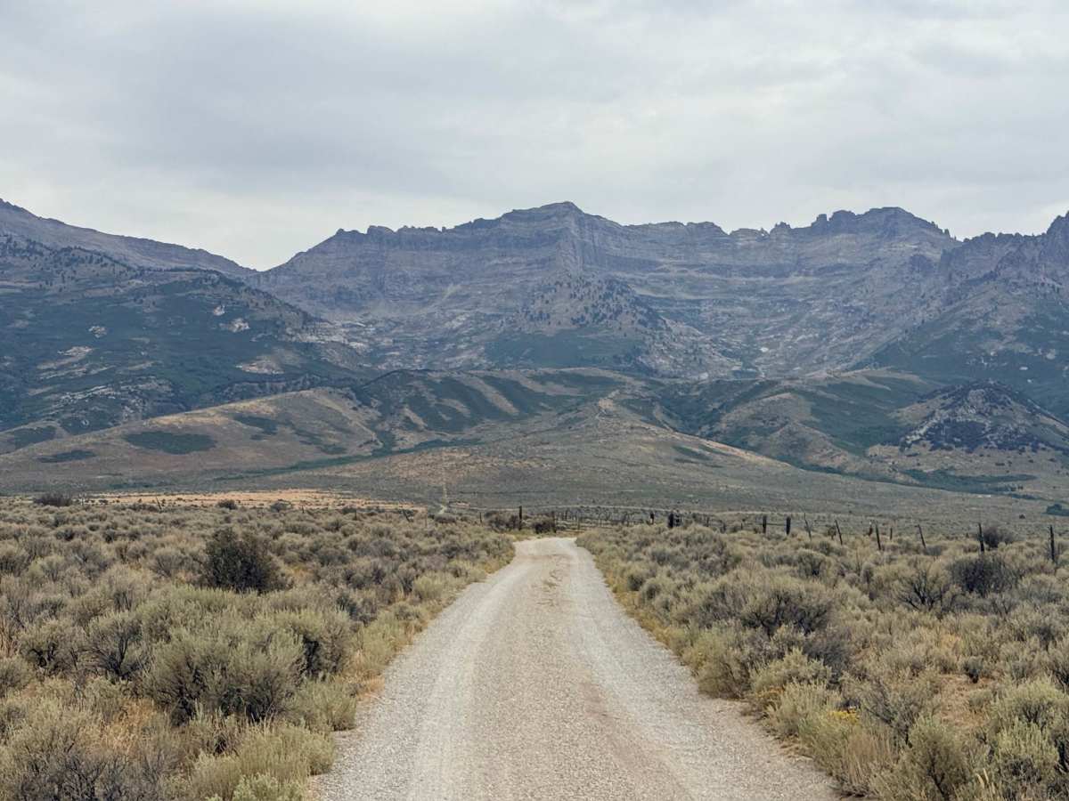
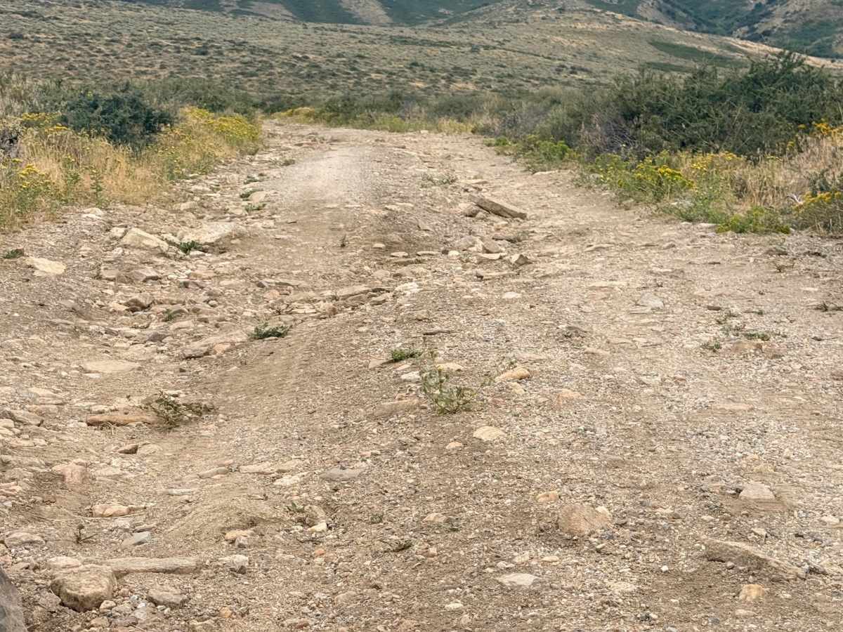
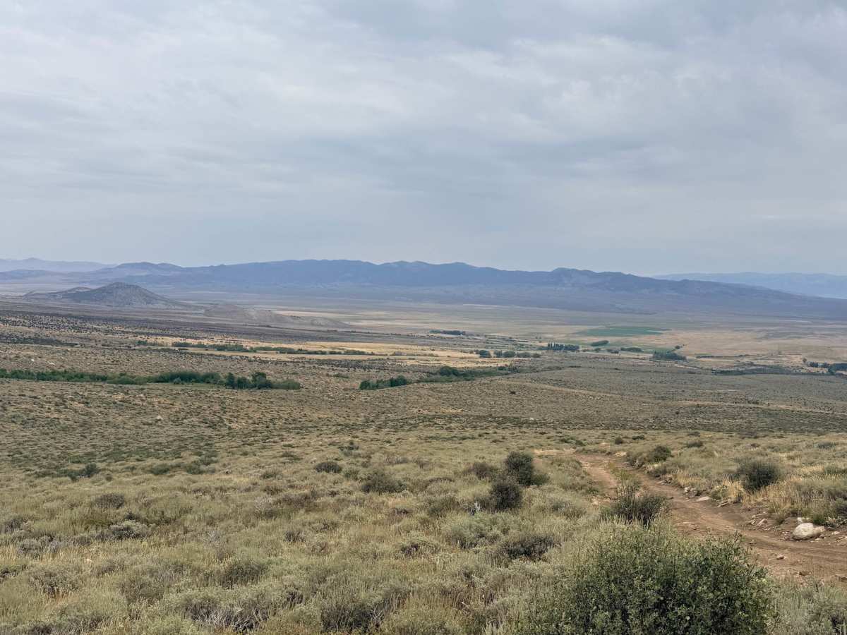
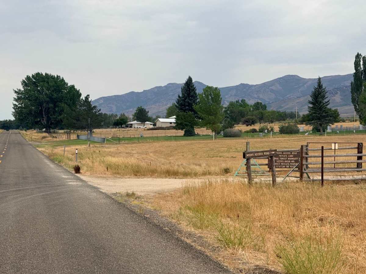
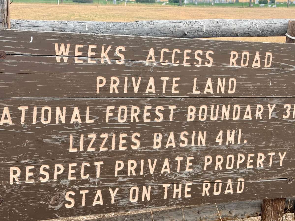
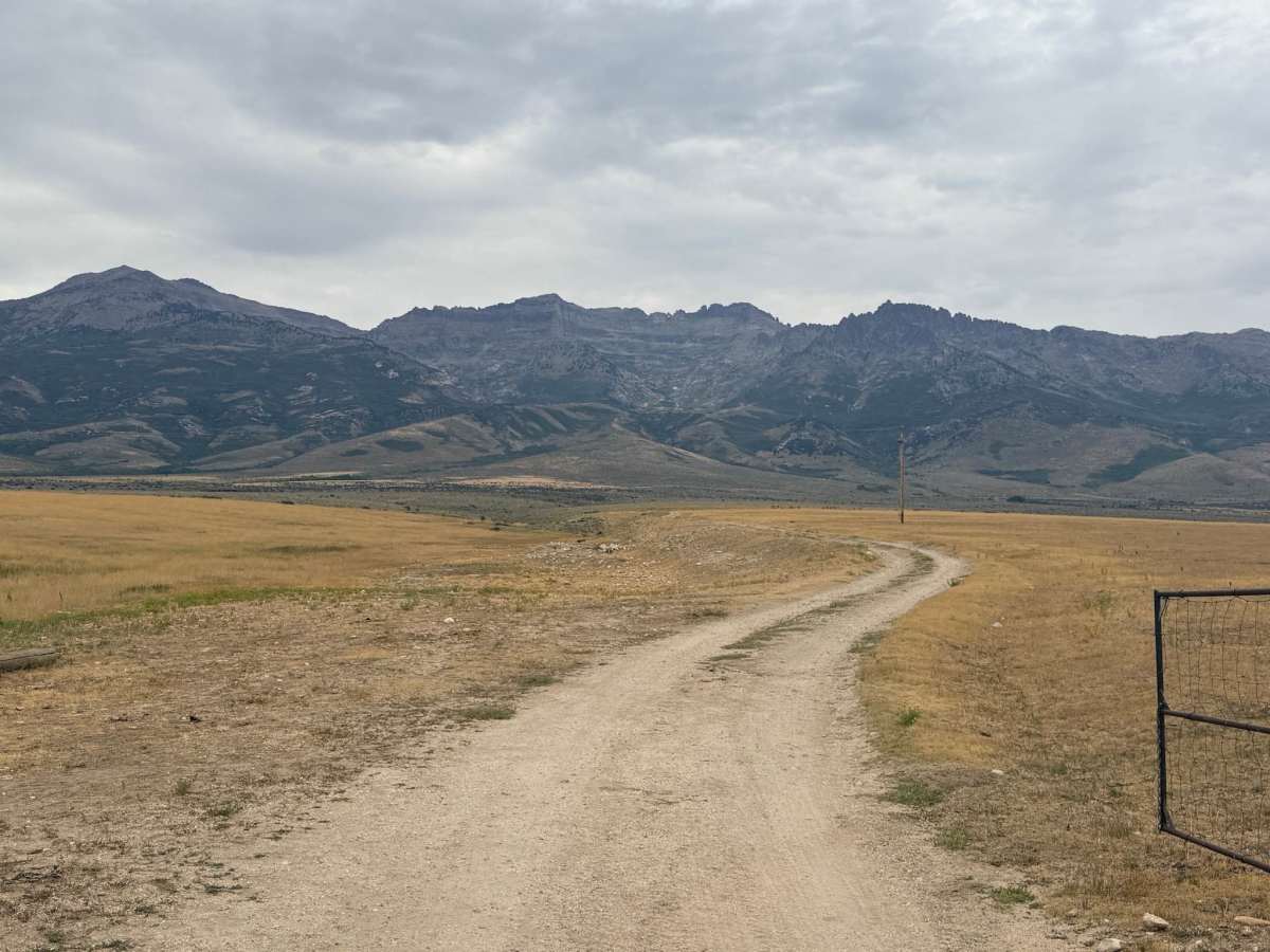
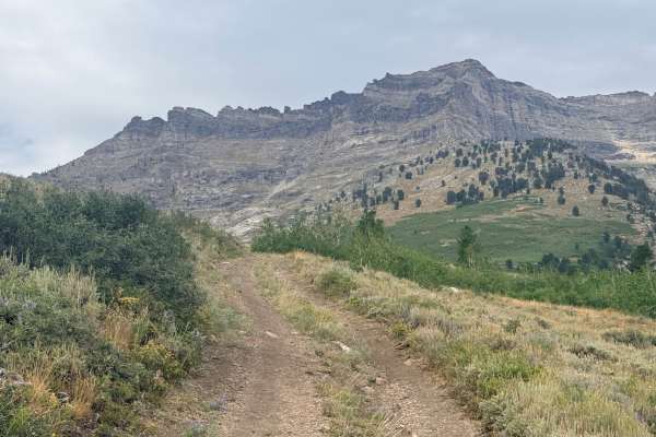
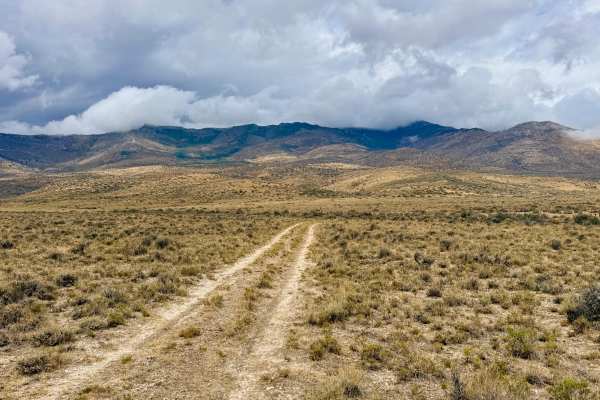
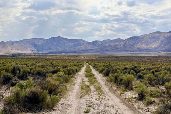
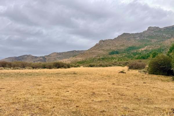
This out-and-back trail begins by traversing private ranch land, a reminder to be respectful and stay strictly on the designated path, before climbing steadily into the foothills. As you gain elevation, the trail trades the rolling, open sagebrush hills for the juniper-dotted landscapes of the lower mountains. The reward is a breathtaking vantage point overlooking the dramatic peaks of the East Humboldt Wilderness, with the imposing mass of Humboldt Peak (elev. 11,000+ ft) dominating the southwestern skyline. The trail experience shifts as you progress. The initial portion is a relatively straightforward, narrow two-track that winds through expansive foothills. However, as you approach the upper terminus near Leach Creek, the terrain intensifies. The final stretch presents the trail's primary challenges: distinct washed-out sections, persistent off-camber angles, and scattered, manageable boulders. These features provide a fun technical test before the route terminates at the serene Leach Creek. Upon reaching the end of the trail, you will find a small, inviting swimming hole perfect for a refreshing soak during a warm summer afternoon. Cell Service is extremely limited. You may encounter one bar of sporadic LTE service. It is recommended to download offline maps before hitting the trails.
Difficulty
While the majority of this trail is an easy 2, the final approach to Leach Creek earns it a 3 rating due to the erosion, off-camber sections, and rock obstacles. High-clearance vehicles are recommended for the final approach to ensure ease of navigation over rocky patches. Standard 4WD is sufficient, though careful tire placement is advised on the off-camber sections to avoid sliding into the banks.
History
This trail traverses the historic ranching corridors of the Wells area. The region’s history is defined by the resilience of the settlers who navigated the complex geography between the Humboldt River basin and the high mountains. The area surrounding the East Humboldt Range has long been associated with traditional livestock grazing and mining exploration. While you travel through, note the transition in vegetation from the Great Basin sagebrush steppe to the coniferous woodlands of the higher elevations a transition that dictated the patterns of human settlement and land use in this part of Nevada for over a century.

 Offroad