Trail Overview
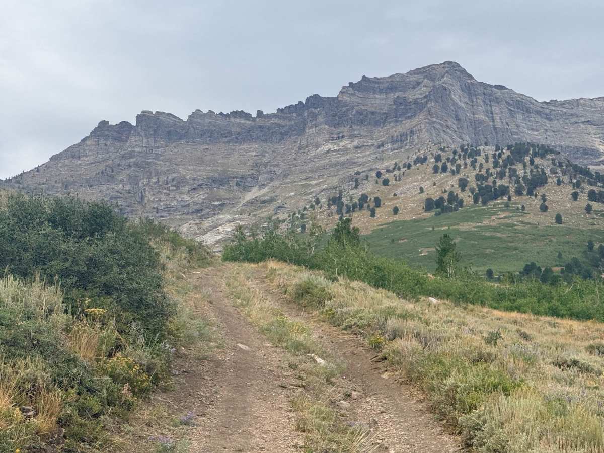
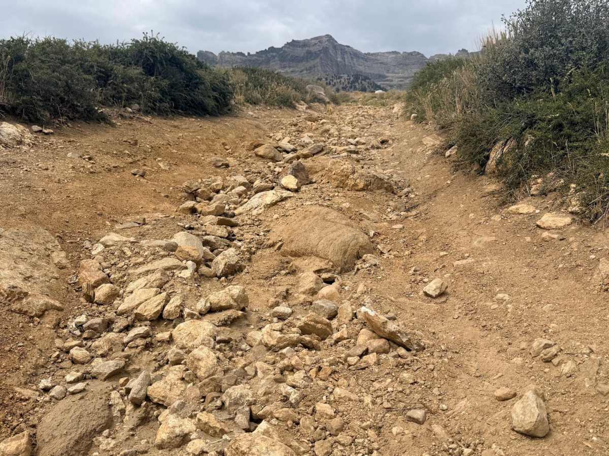
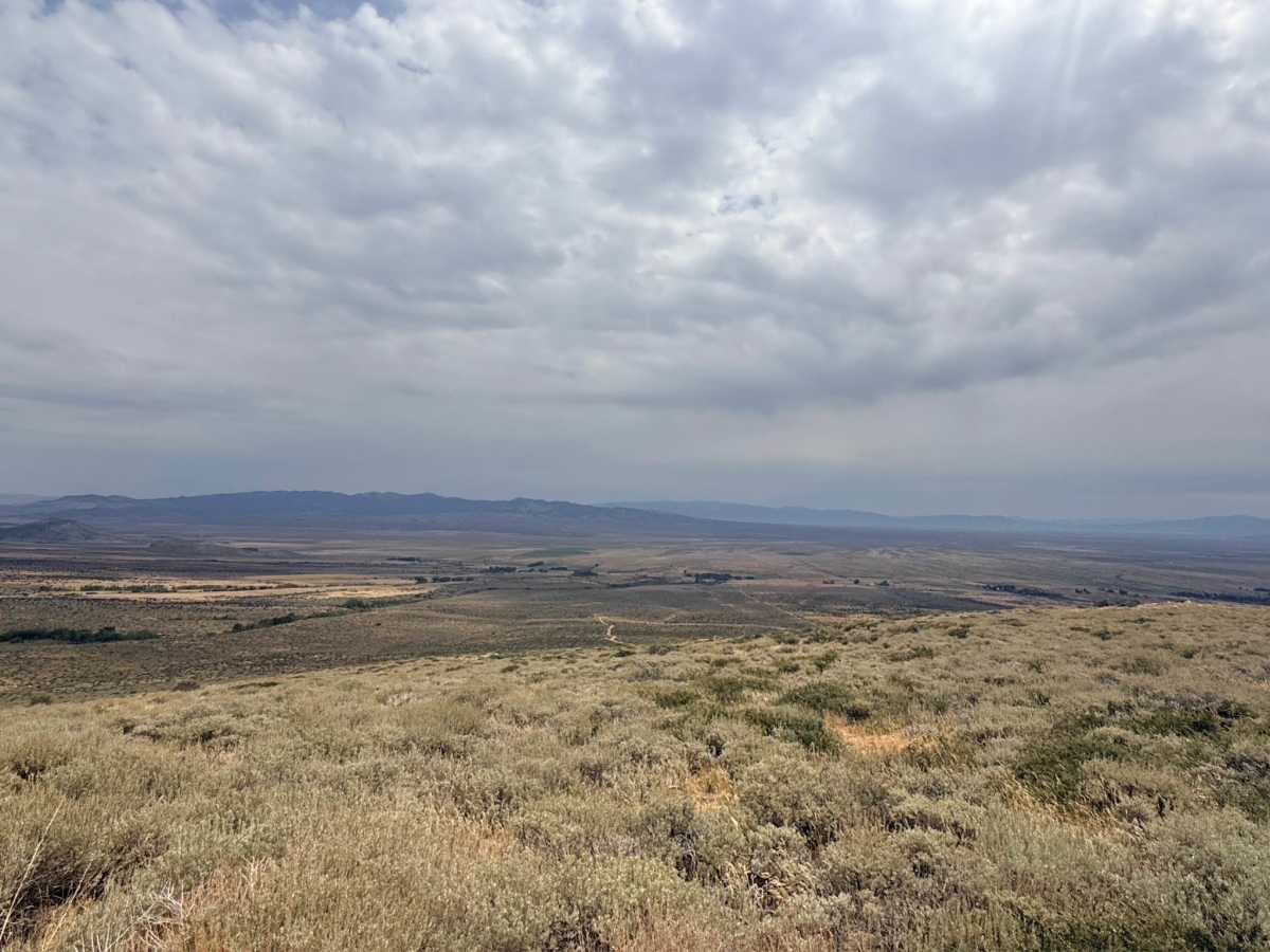
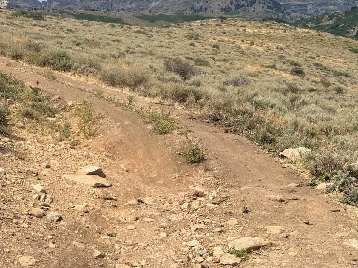
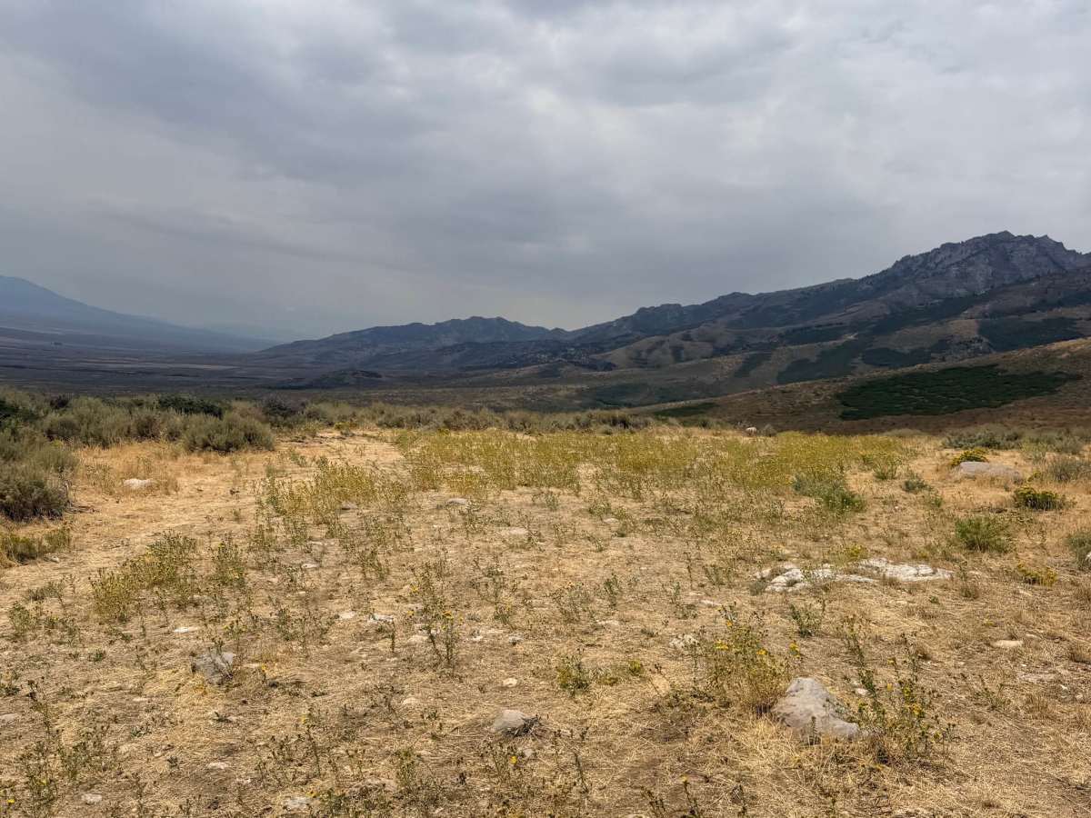
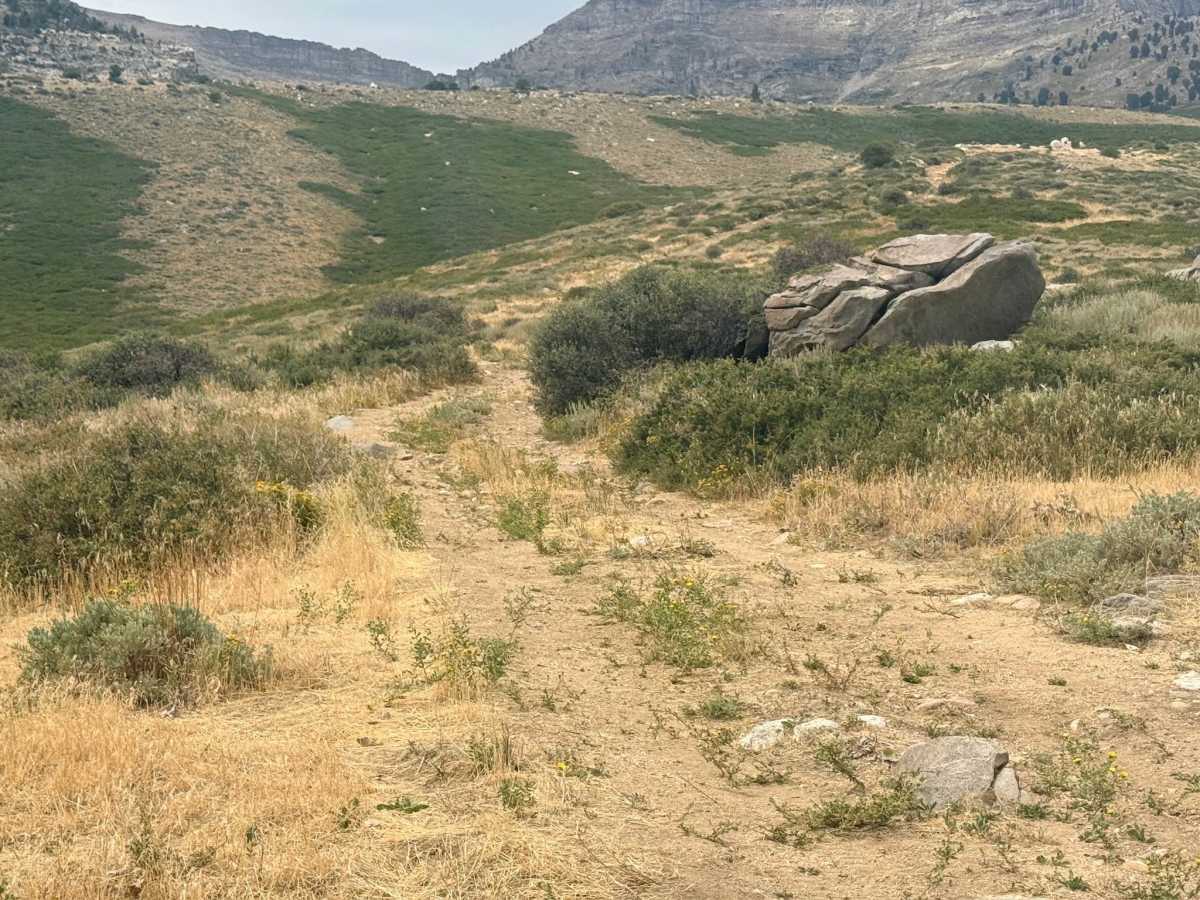
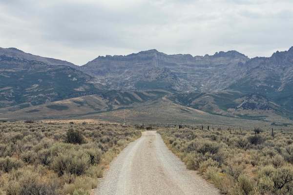
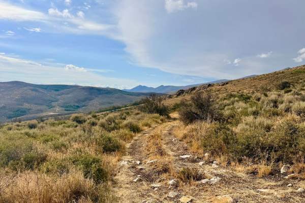
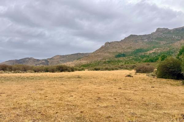
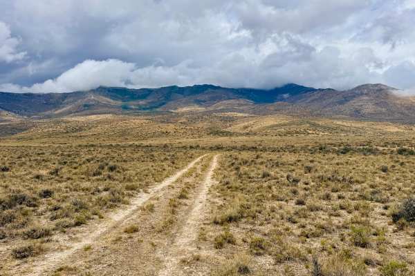
This is a moderately technical out-and-back trail that takes you deep into the heart of the national forest. Taking roughly an hour to complete, this route perfectly balances rugged driving with breathtaking scenery. As you navigate the trail, you will pick your way through fun boulder fields lined with vibrant seasonal wildflowers. The visual rewards on this trail are spectacular. Keep an eye out for a unique natural rock arch sitting high up in the mountain formations. Don't forget to check your mirrors as you ascend the hillside; magnificent, sweeping views of the valley below unfold behind you, stretching for miles on a clear day. The middle section of the trail becomes a slow-going, narrow, one-lane rocky path that demands your full attention, eventually leading up to the Windchill Lake hiking trailhead at the top.
There are a couple of dispersed camping spots near the beginning of the trail and a few lightly-used spots at the very top. While this trail is the main access point for the Windchill Lake hiking trailhead, it is highly recommended that those in less capable vehicles park lower down and hike up via the lower access trail. Cell service is unreliable. You may get two bars of LTE at the bottom, but service fades in and out as you work your way up the mountain. Always carry a satellite communication device (like a Garmin inReach or Zoleo) and download your onX Offroad maps for offline use before hitting the trail.
History
The rugged mountains between Wells and Ely are steeped in the rich pioneer and mining history of the American West. To the north, Wells (originally named Humboldt Wells) served as a vital, life-saving oasis along the California Trail. In the mid-1800s, thousands of weary emigrants and their wagon trains stopped here to rest and refill water casks at the natural springs before braving the harsh desert crossing to the west. Later, the construction of the Transcontinental Railroad cemented the area as a crucial transportation hub.To the south, Ely boomed as one of the country's premier copper mining towns. The sheer volume of copper pulled from the earth here required the construction of the Nevada Northern Railway just to transport the ore. As you navigate the steep, rocky inclines of the Humboldt-Toiyabe National Forest today, you are driving through the same unforgiving wilderness that prospectors, pioneers, and Basque sheepherders navigated over a century ago in search of a better life.