Trail Overview
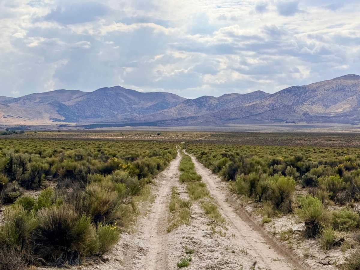
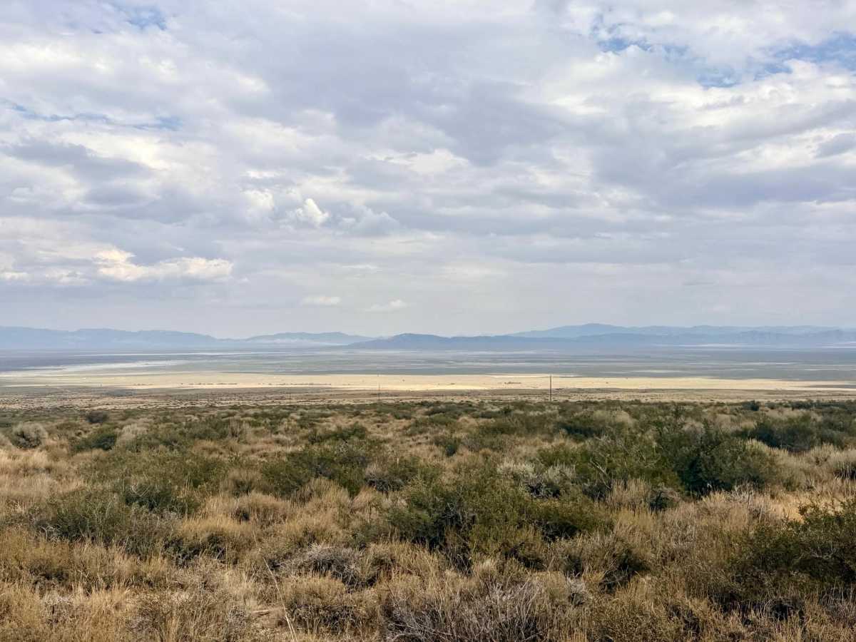
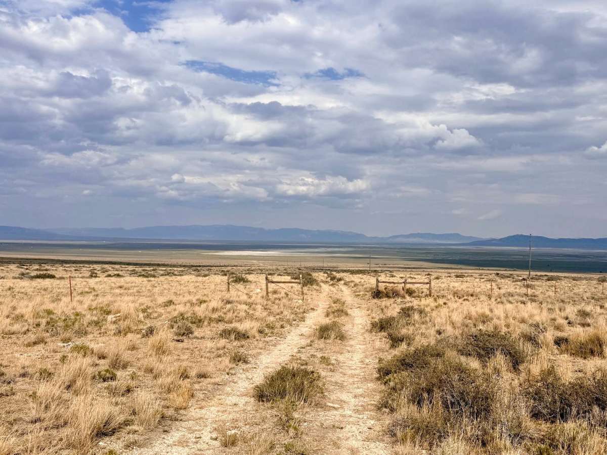
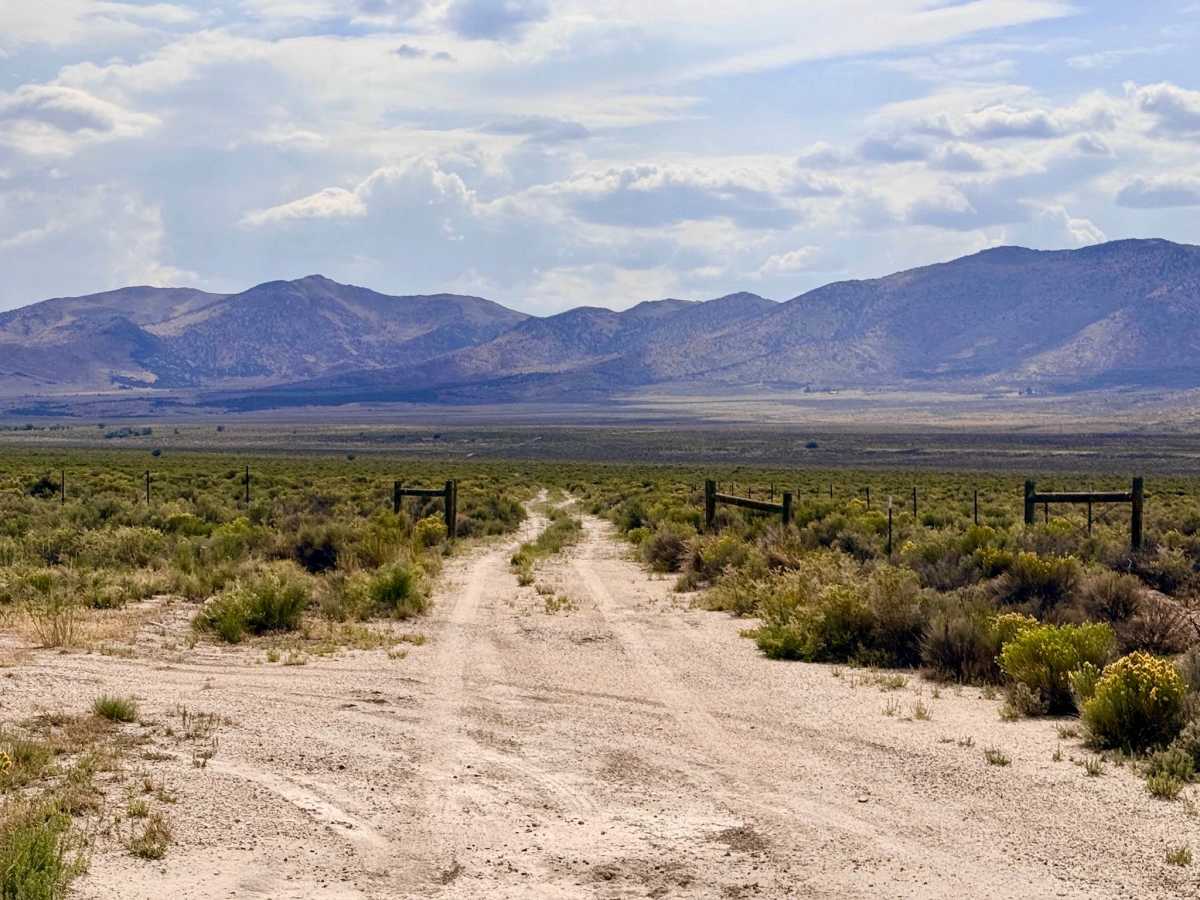
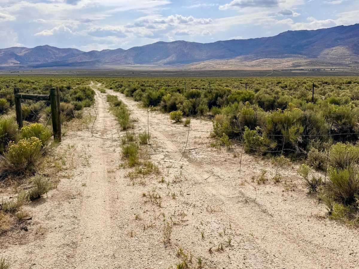
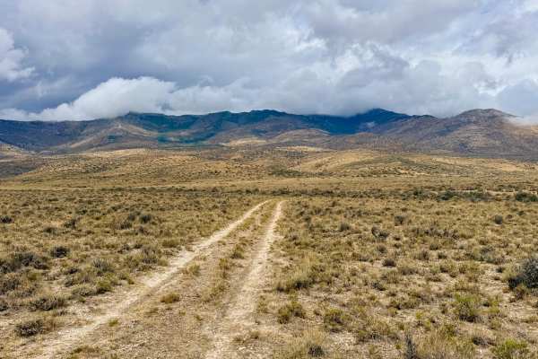
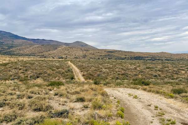
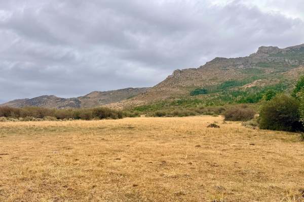
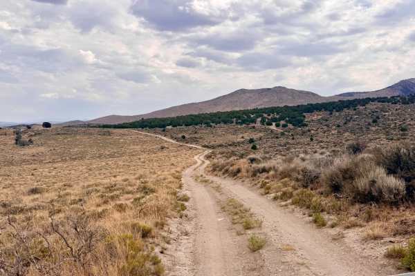
Rattlesnake Canyon is a scenic route that serves as a fantastic gateway from Highway 93 to a network of beautiful foothill trails, including Agee, Spring, and the Agee Spring Spur. Starting at the highway, the trail cuts across the foothills and gently winds up into the higher terrain. The trail begins with a cattle gate at the highway. Always practice proper trail etiquette by leaving gates exactly as you found them. As you drive, you will be treated to great views of the towering mountain peaks dead ahead. Be sure to look back as the climb reveals excellent, sweeping views of the valley floor below. As you approach the westernmost end of the trail, the route makes a sharp 90-degree turn along a private property line. Overall, it’s an easy, highly enjoyable, and quick drive to access deeper off-road exploration. Avoid this trail after heavy rain, as the washouts and dirt surfaces can quickly become impassable mud. There is zero cell service on this trail. It's recommended to download your maps for offline use before leaving the pavement. Always carry a satellite communication device (like a Garmin inReach or Zoleo) for emergencies.
Difficulty
The route features a few slight washouts and is narrow in spots, which may require backing up to let oncoming traffic pass. Warning: The dirt and washouts can become extremely slippery and potentially impassable when muddy.
History
Like much of the terrain surrounding Wells and the Humboldt-Toiyabe National Forest, the foothills around Rattlesnake Canyon are deeply rooted in Nevada's ranching heritage. The cattle gate at the trailhead is a living testament to the open-range grazing practices that have sustained local ranchers for over a century. In the late 1800s and early 1900s, cowboys and Basque sheepherders drove their livestock through these very canyons and valleys, relying on natural foothill water sources like the nearby Agee Spring to hydrate their herds in the unforgiving high desert.