Trail Overview
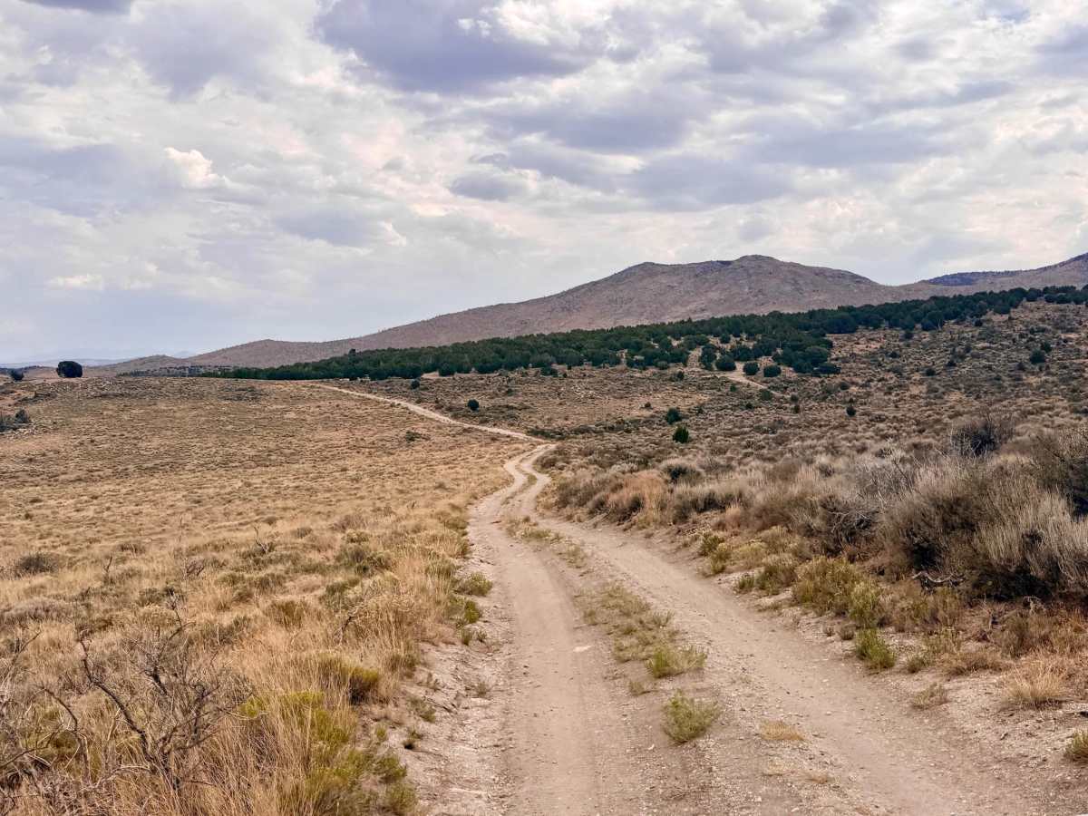
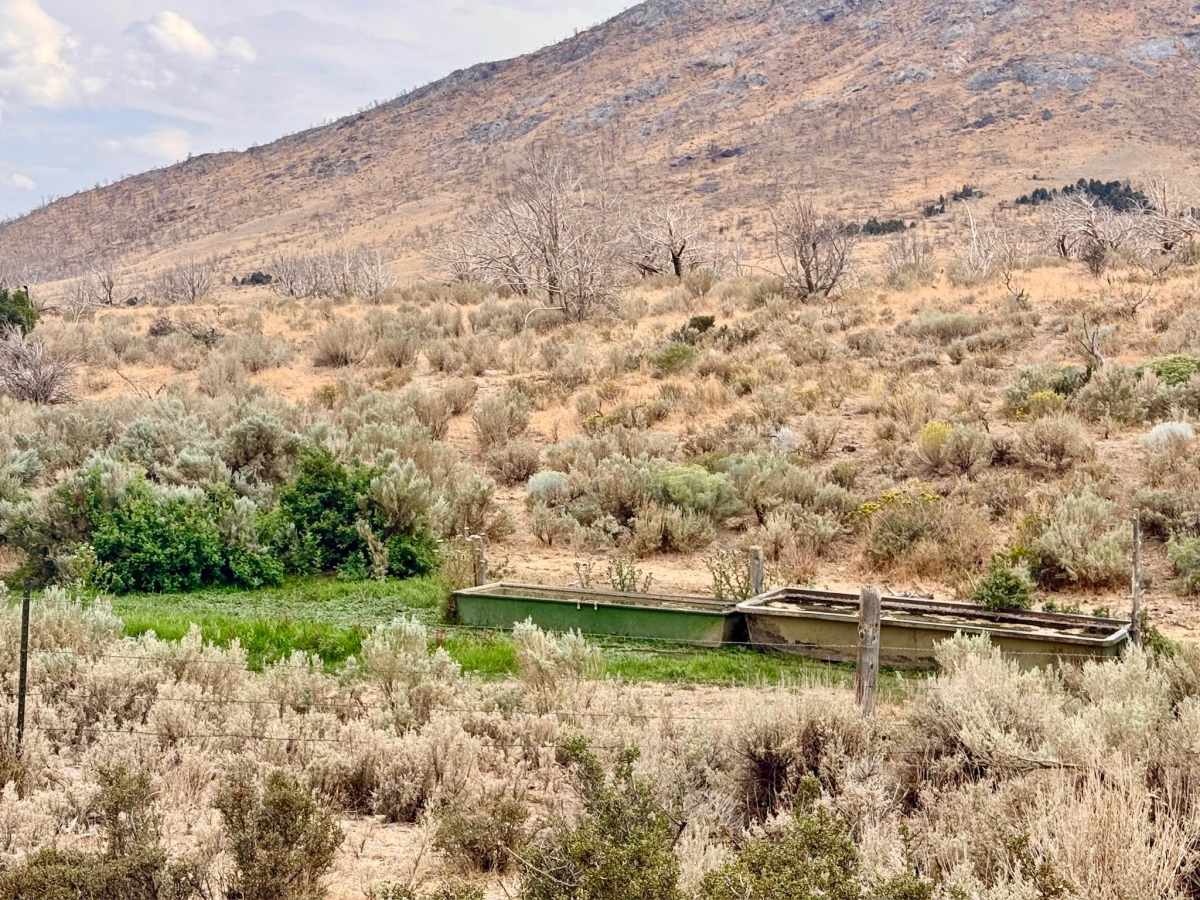
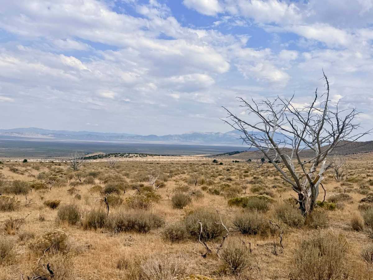
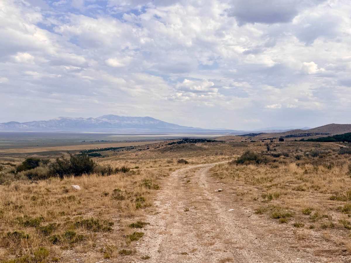
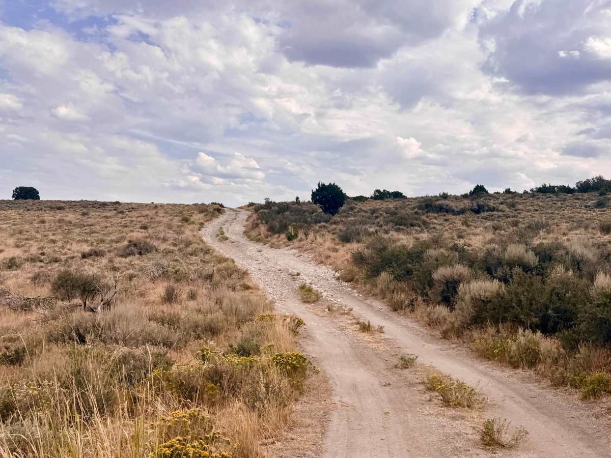
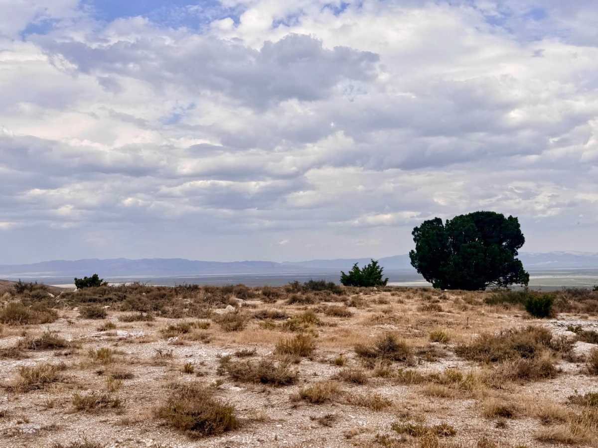
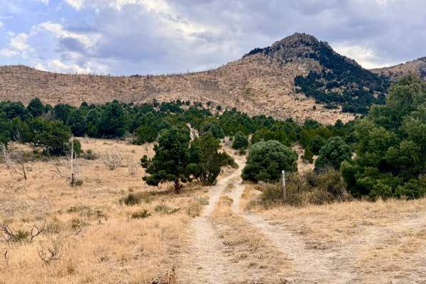
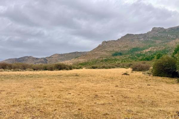
This is a highly scenic out-and-back trail that seamlessly connects with the broader network of foothill routes in the area. The trail playfully twists and turns along the base of the mountains, gradually climbing higher into the foothills. As you gain elevation, the landscape rewards you with intriguing rock formations near the trail's end. Along the way, the route passes by Jerry Crab Spring, a vital freshwater source used primarily to water local cattle. The spring's vibrant ecosystem means you will likely see beautiful wildflower blooms scattered throughout the season. Keep your eyes peeled as you navigate the turns; if you are lucky, you might just catch a glimpse of mule deer or antelope darting through the brush. Several great dispersed camp spots are available near the spring and along the trail. Always practice "Leave No Trace" principles, pack out all your trash, and ensure any campfires are completely extinguished. There is absolutely no cell service on this trail. Download your onX Offroad maps for offline use before leaving the pavement. It is highly recommended to carry a satellite communication device (such as a Garmin inReach or Zoleo).
Difficulty
The majority of the trail is an easy drive, but it earns its 3 rating due to some slight off-camber sections along the foothills and a steeper, more technical section as you approach the end of the route. High clearance is recommended.
History
Jerry Crab Spring highlights the historical and ongoing importance of water rights in the arid Great Basin. For over a century, natural springs tucked into the foothills of the Humboldt-Toiyabe National Forest have been the lifeblood of Nevada's ranching industry. Early pioneers and ranchers relied heavily on these precise water sources to sustain their herds during the hot summer months. The modern infrastructure you might see around the spring today directly continues those historic open-range grazing traditions that helped settle the American West.

 Offroad