Trail Overview
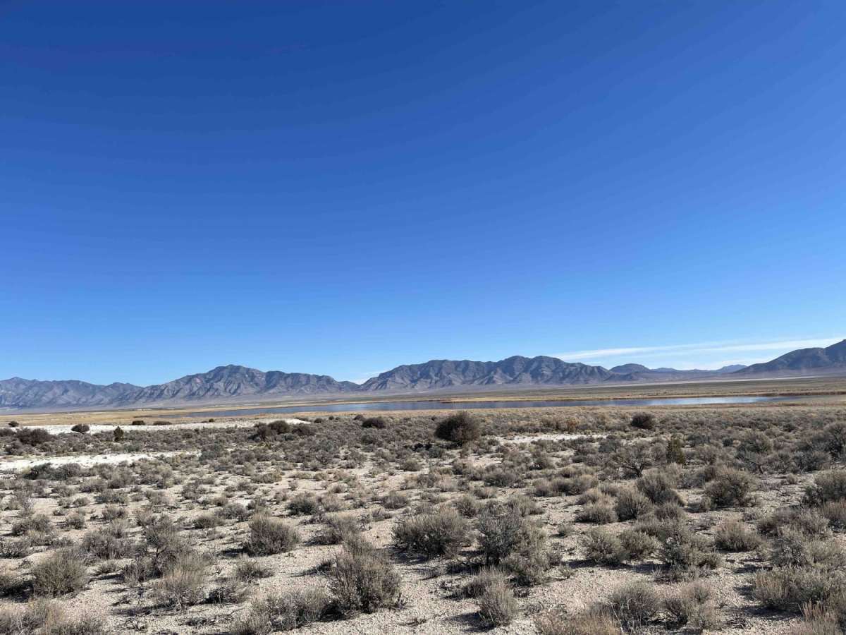
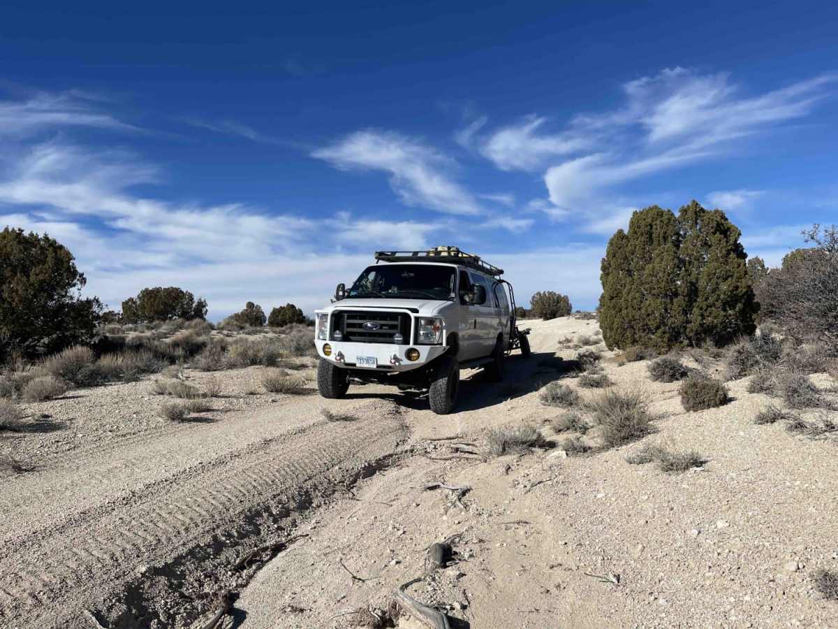
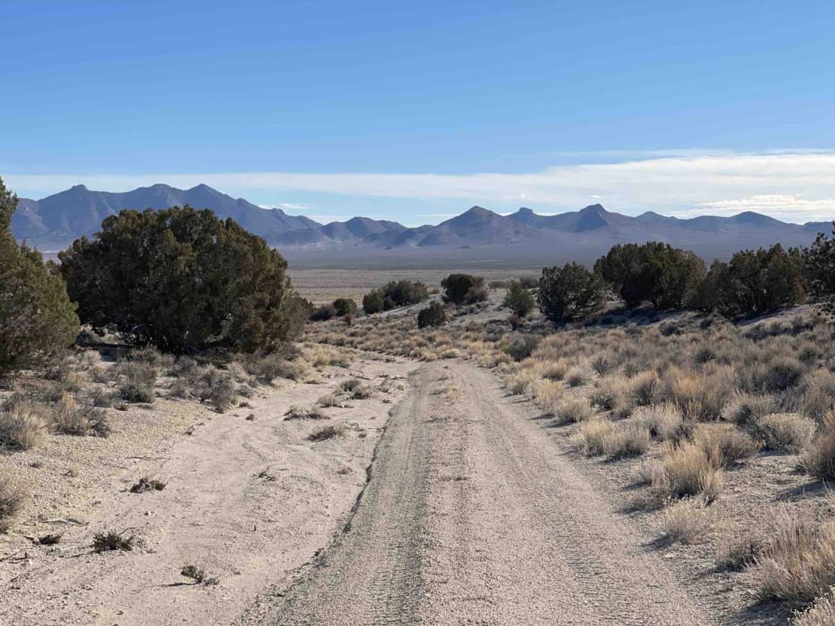
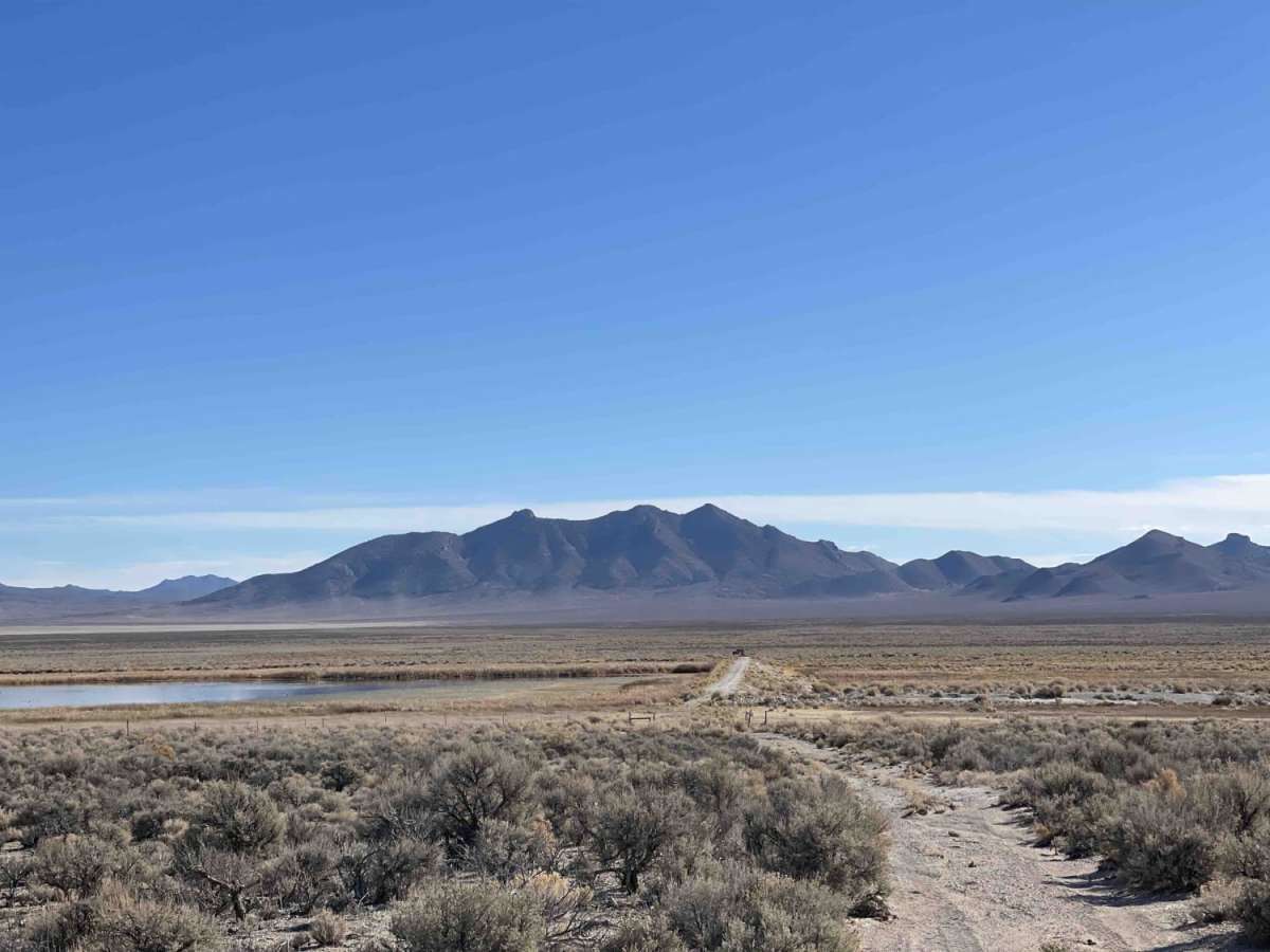
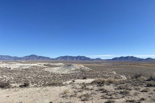
The Spur to Cold Springs Reservoir is a short, dead-end route that descends approximately 130 feet over 0.8 miles, leading drivers toward the scenic waters of Cold Springs Reservoir. Ideal for high-clearance four-wheel-drive vehicles, SxSs, and dirt bikes, this route provides a quick, off-the-beaten-path excursion through Nye County's desert terrain. The trail begins off a primary dirt road and initially follows a single-lane sandy wash where deep ruts can develop, especially after seasonal rains. As it approaches the reservoir's wildlife area boundary, the wash transitions into a seldom-traveled two-track path running along a boundary fence.
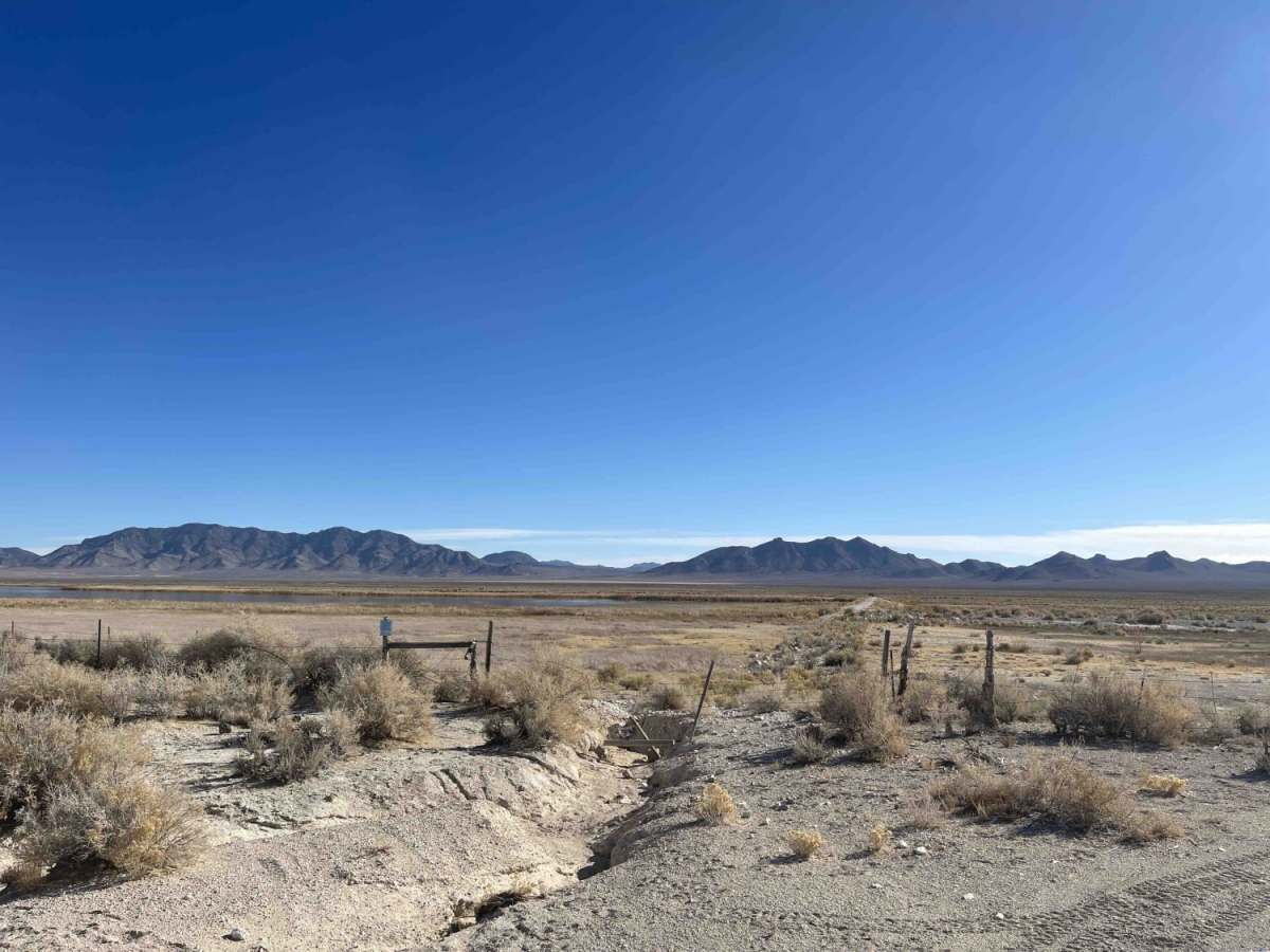
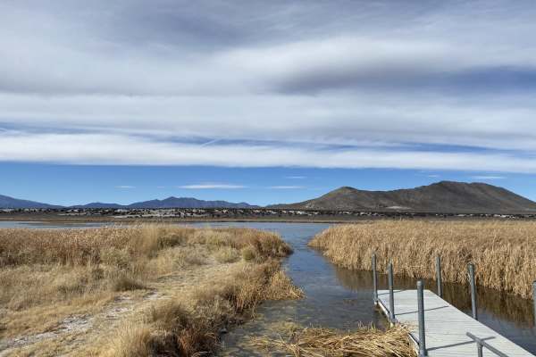
At the end of the trail, a locked gate blocks direct access to the water's edge, meaning there is no boat launching or shoreline vehicle access from this spur. Drivers of larger vehicles should exercise caution, as there is no easy turnaround area once you begin driving along the fenceline. During the rainy season, the wash can experience active water flow and significant washouts, raising the technical difficulty from its standard rating of 3. Cell service is generally reliable, with about three bars of LTE available along the route, making navigation and communication straightforward.