Trail Overview
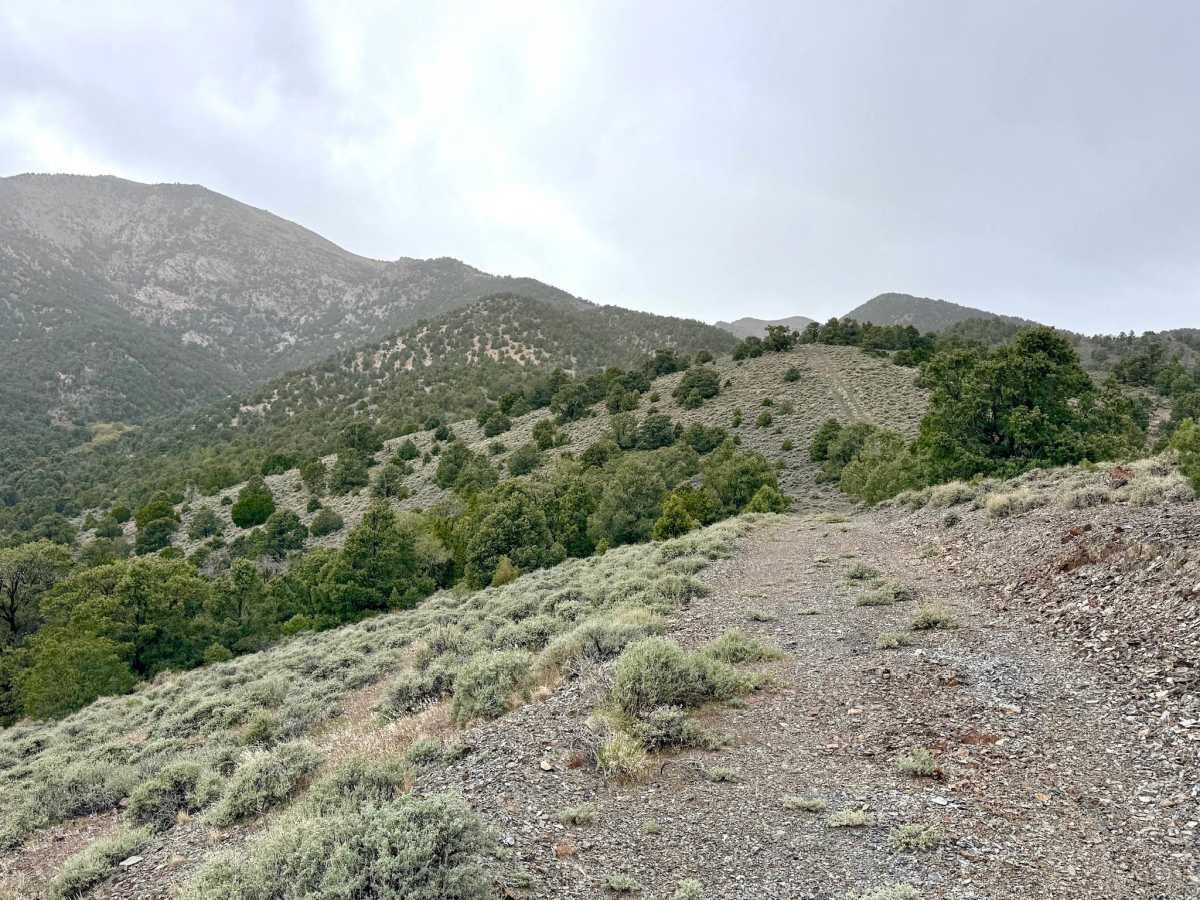
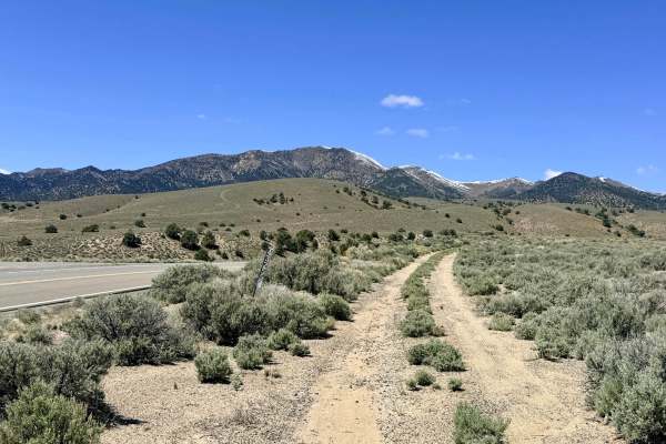
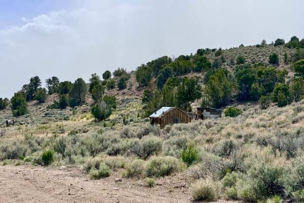
South Lowboy Mine is a scenic ridgeline trail that offers a quintessential Nevada "sky island" driving experience. Interestingly, despite its name, the trail is located one ridge south of the main Lowboy Mine complex, separated by a deep canyon. This route transitions you between the lower sagebrush plains and the technical interior foothills.
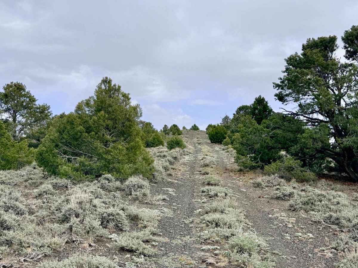
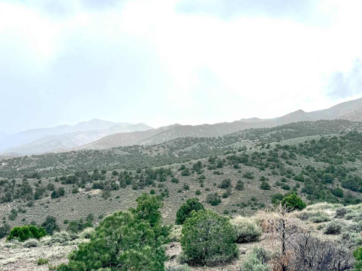
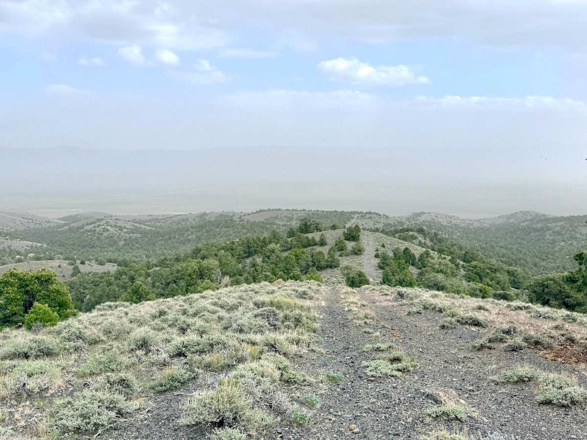
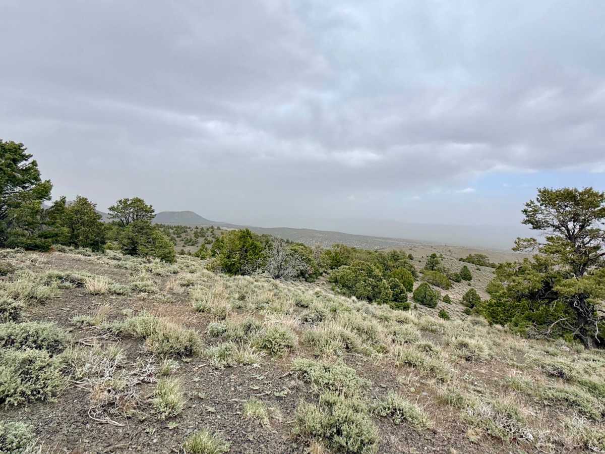
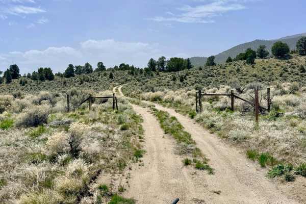
The primary draw of this trail is the staggering, 360-degree views. As you follow the crest of the ridge, the landscape falls away in every direction, offering unobstructed vistas that stretch for miles. On a clear day, you can look east across the vast Reese River Valley to the shimmering horizons of the next mountain range, north. As well as views to the south along the valley corridor, and west into the rugged, shadowed peaks of the Toiyabes. The trail is generally smooth and easy to navigate, making it an excellent choice for those who want to enjoy the spectacular "Basin and Range" scenery without the stress of technical rock crawling.
Despite the ridge's high elevation, cell service is extremely spotty and unreliable. Download offline maps before leaving the Austin area.
Difficulty
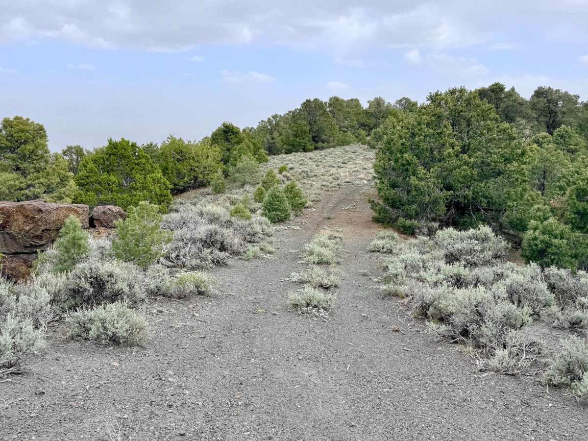
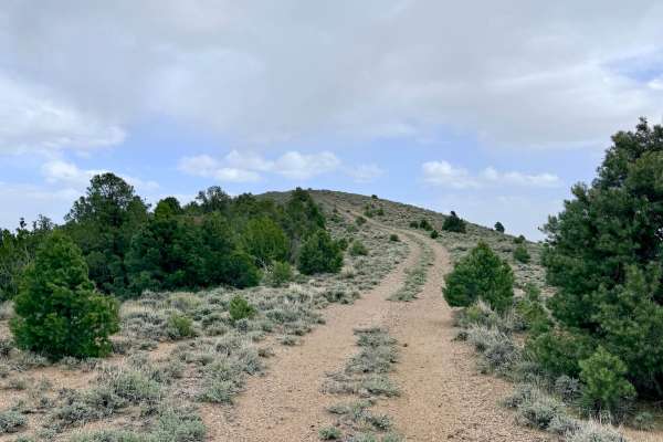
Rated a 2, the trail is mostly a well-established two-track with only minimal ruts and easy-to-manage grades. Because the trail follows the spine of the ridge, it is very exposed. Be prepared for high winds, especially in the afternoons.
History
The ridgelines of the Toiyabe Range have served as natural highways for thousands of years. Long before motorized travel, the Western Shoshone used these high points as lookout spots to track the movements of Pronghorn Antelope and Mule Deer in the valleys below.