Trail Overview
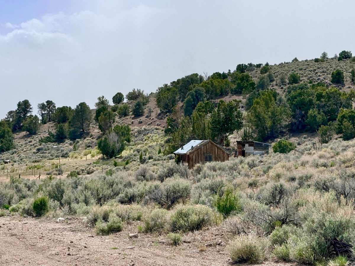
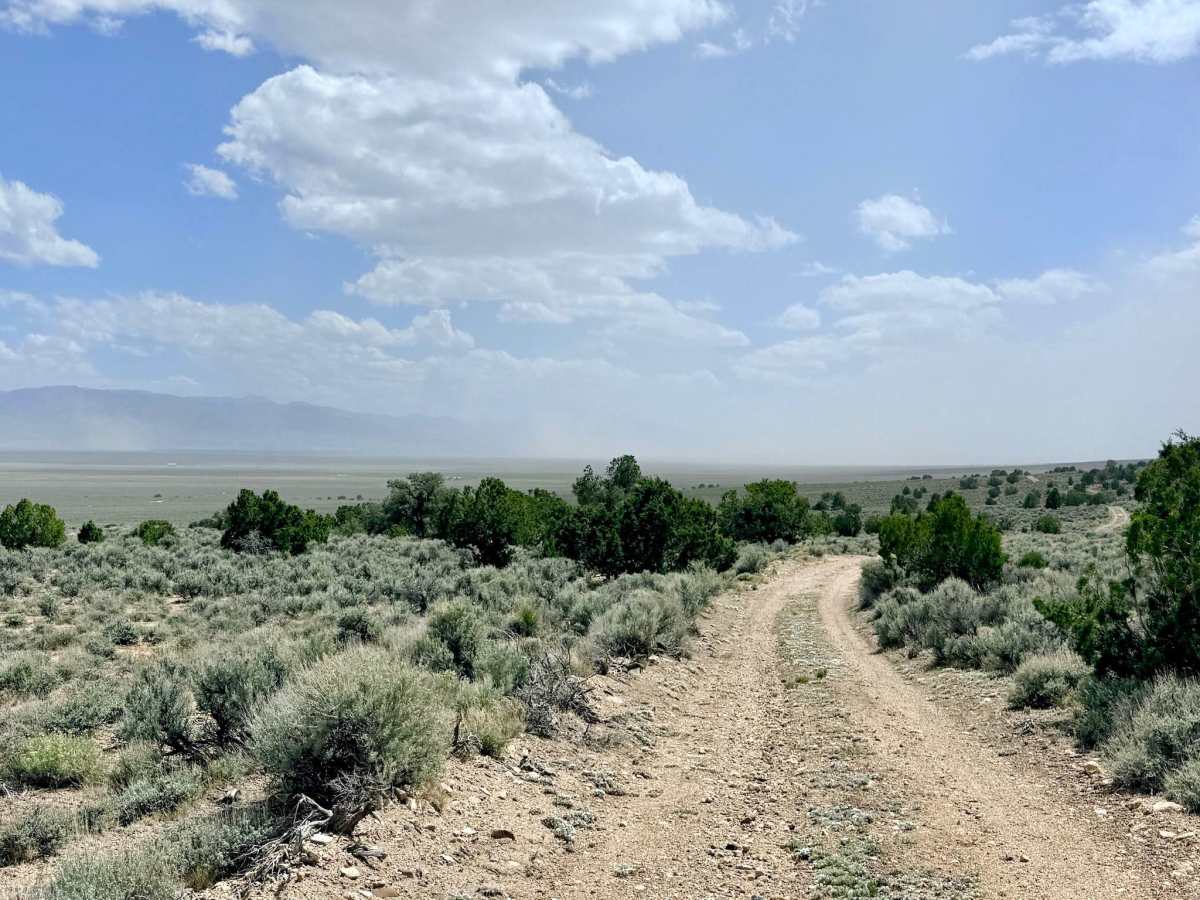
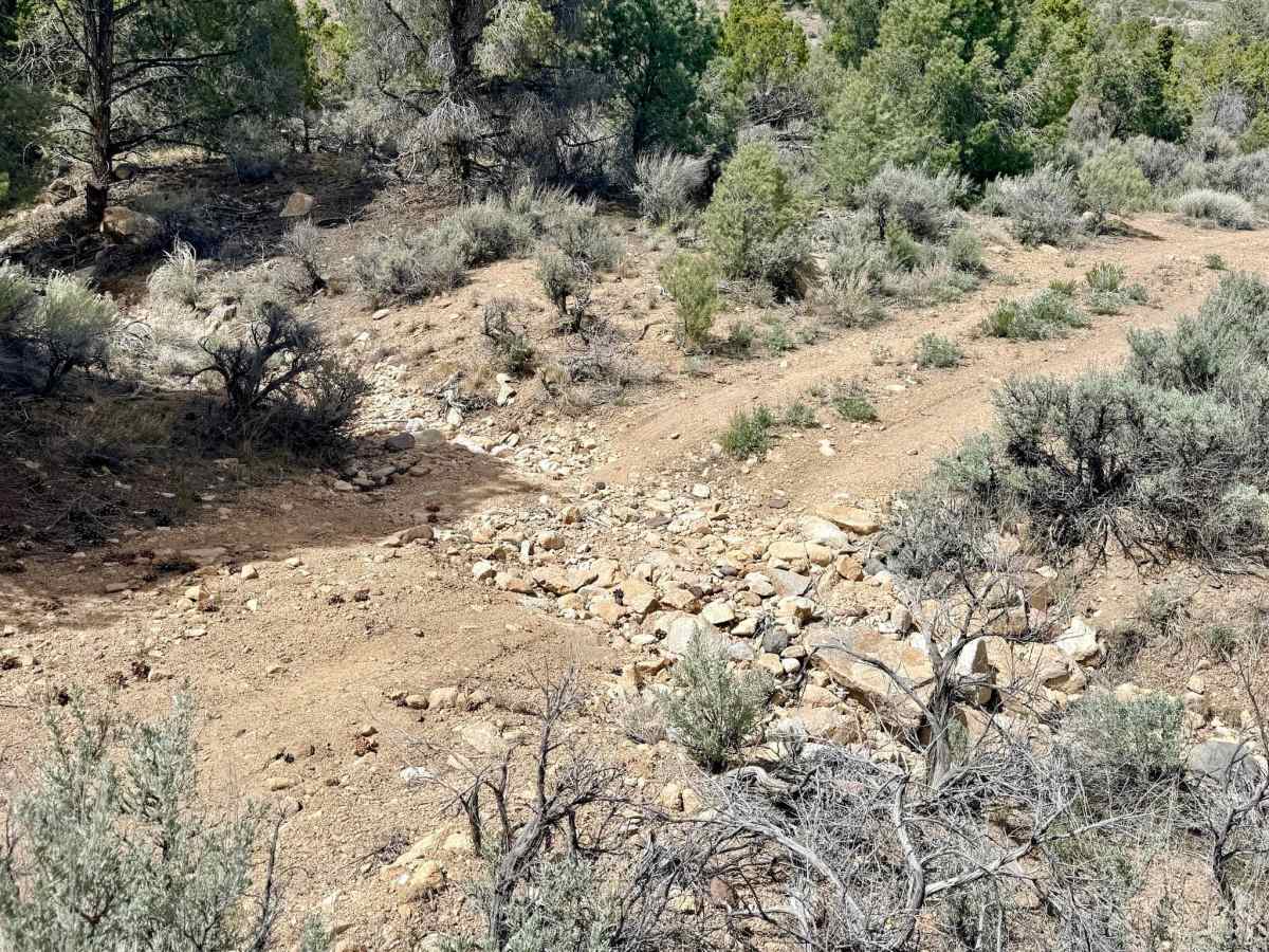
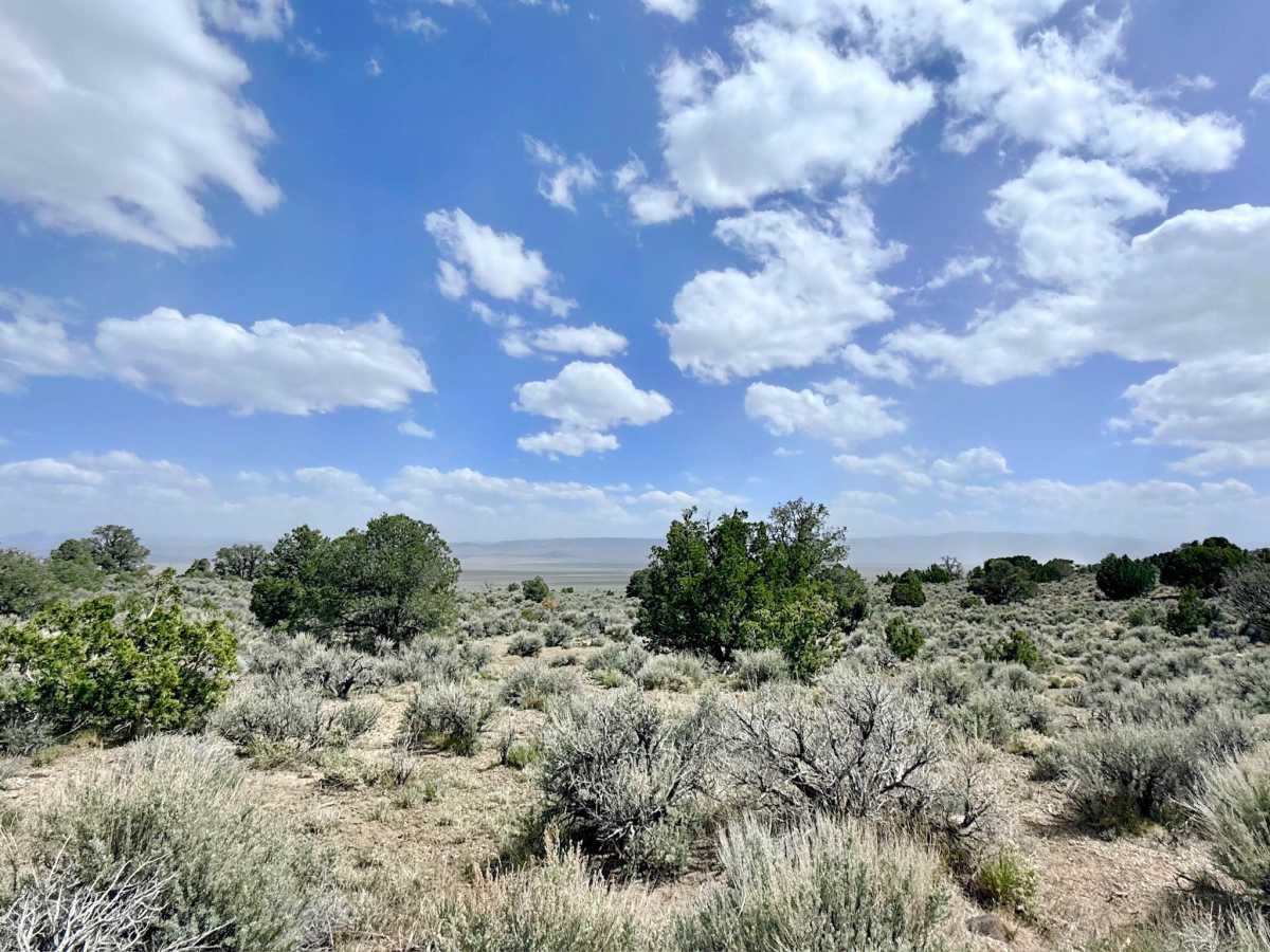
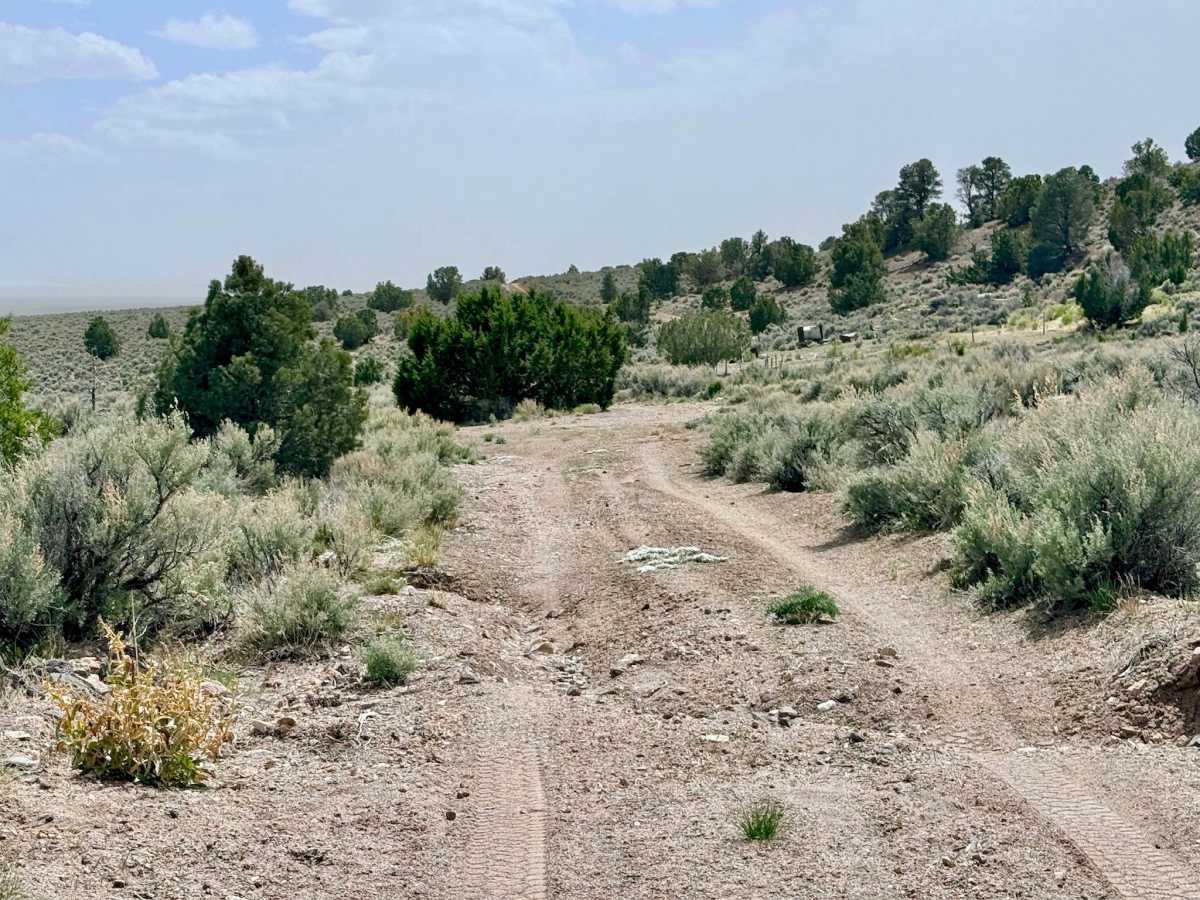
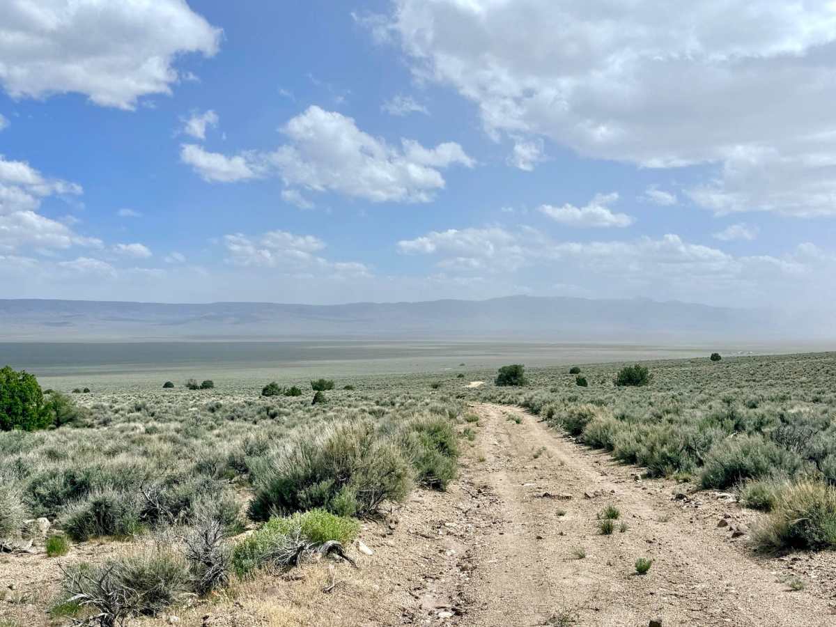
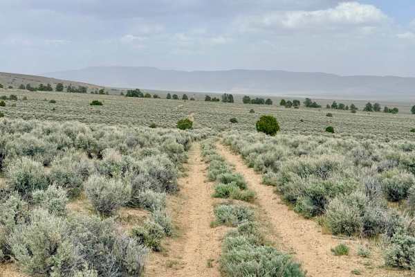
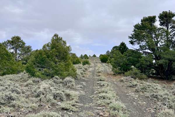
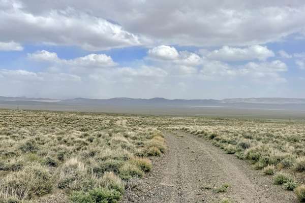
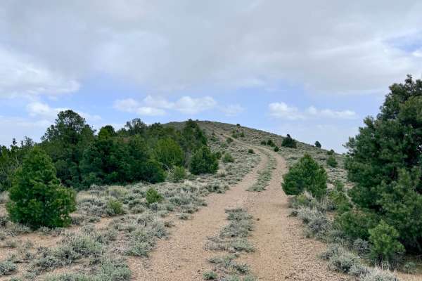
The Goodyear Bypass is a spirited and scenic trail that cuts diagonally across the foothills, serving as a primary link between the higher mountain tracks and the expansive valley floor. The route offers an engaging drive through vast "sagebrush seas" and tall desert grasses, providing unobstructed, wide-angle views of the Great Basin horizon. While the trail is generally fast and flowing, it contains a few "sneaky" washouts that can appear suddenly. These obstacles require a vigilant eye; if approached at too high a speed, they could easily cause suspension damage. A notable highlight along this route is a historic ranching cabin visible from the main trail. This weathered structure stands as a silent monument to the rugged individuals who homesteaded this arid land. The area around the cabin remains active for local ranching operations, so please respect the fencing and view this piece of history from a distance. There is no cell service in this area. The surrounding foothills create a total signal shadow. Download offline maps before leaving the Austin or Bob Scott Campground area.
History
The Goodyear Bypass traverses land that has been the backbone of Nevada’s ranching industry since the 1860s. After the initial silver rush in Austin, ranches were established in these foothills to provide beef for the hungry mining camps. The historic cabin you see along the trail is a remnant of that era, where a "buckaroo" or ranch hand would have lived to monitor the herds.