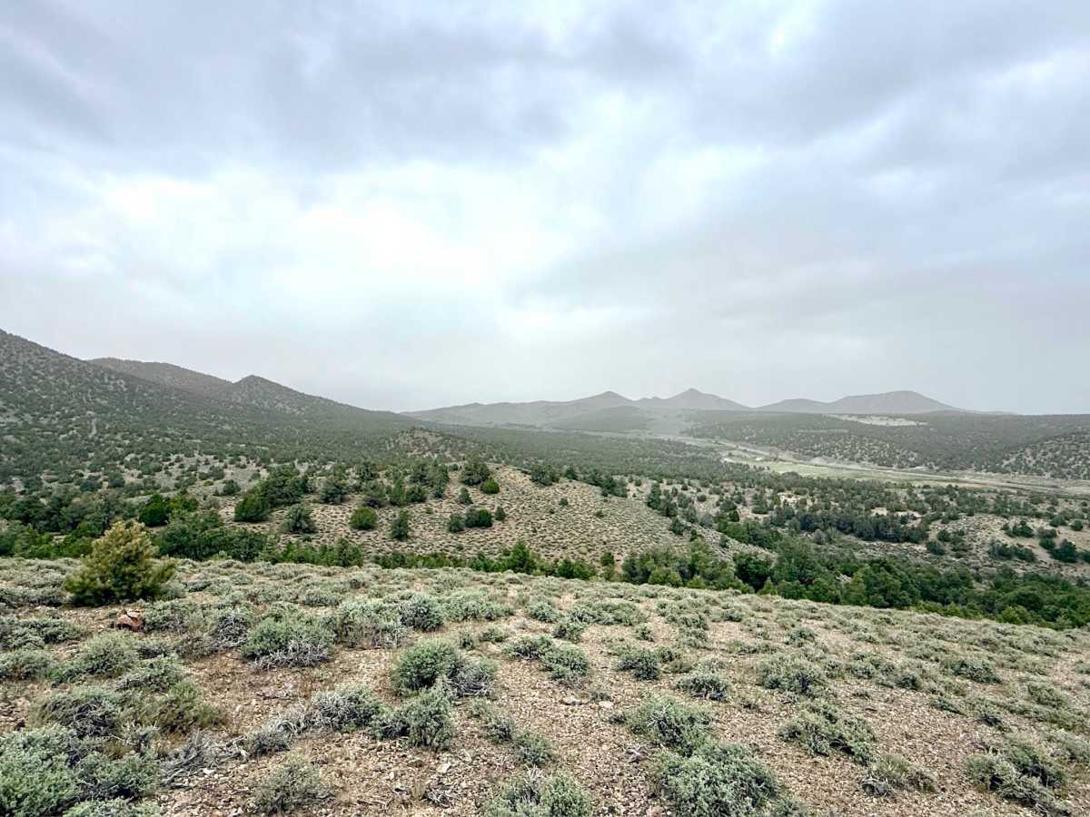
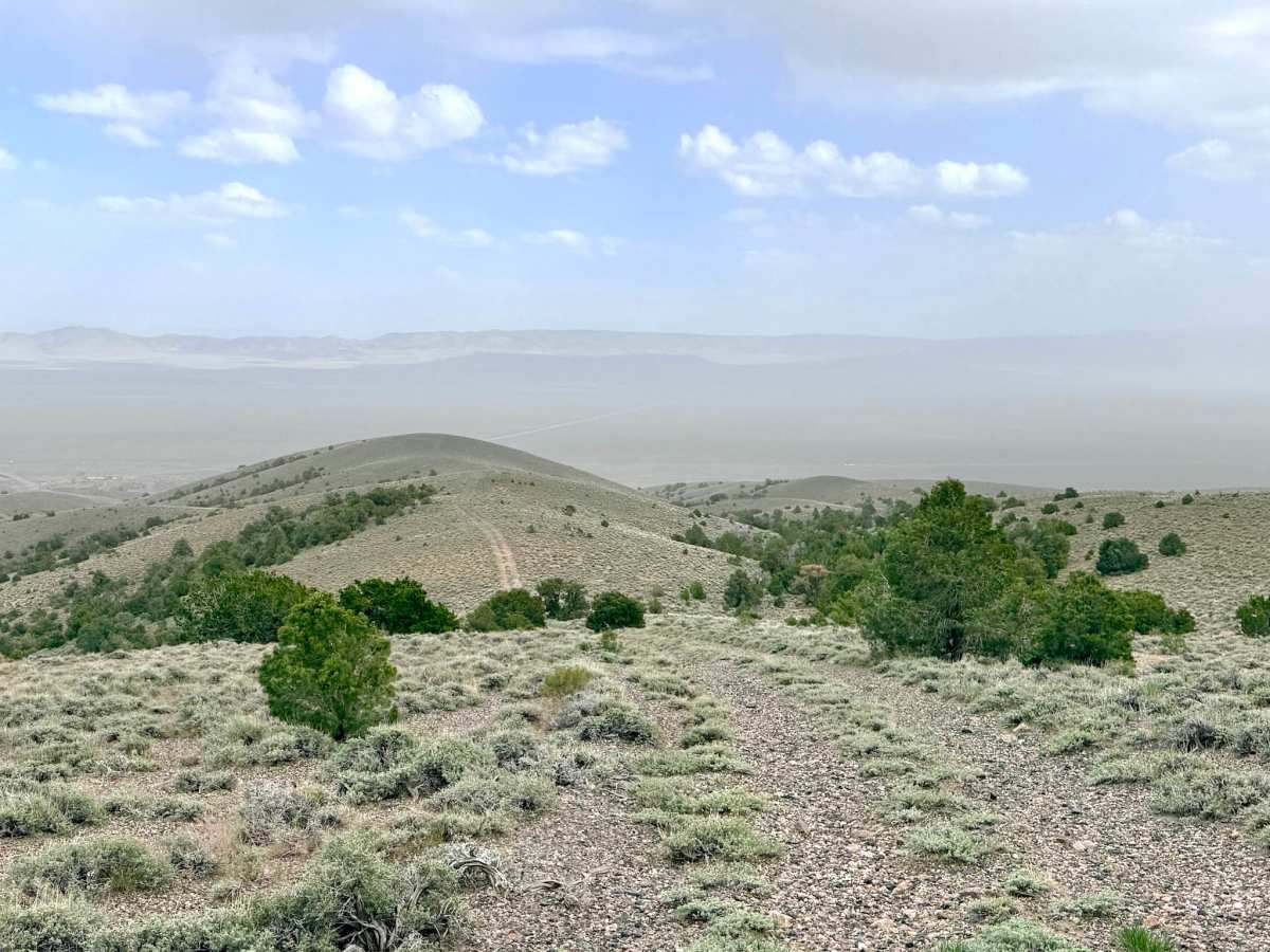
Trail Overview
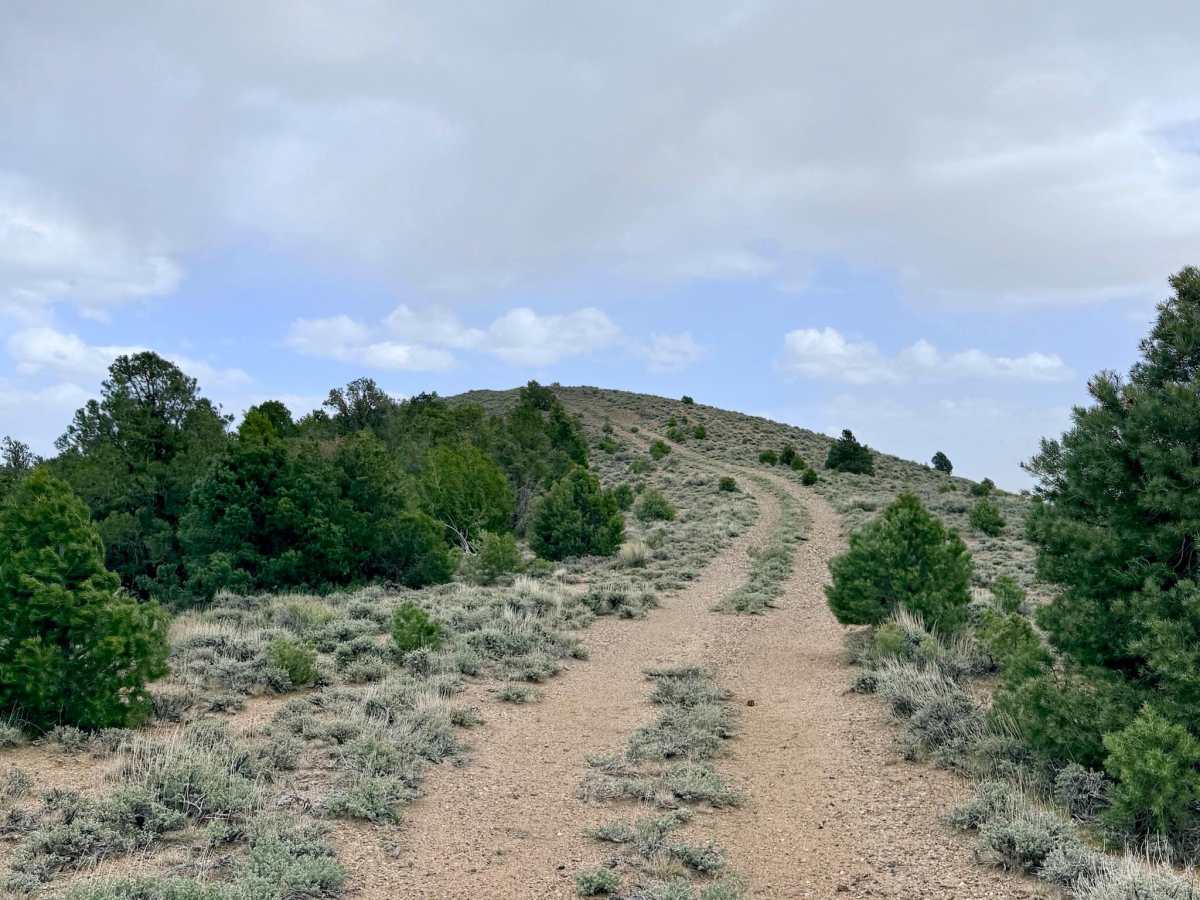
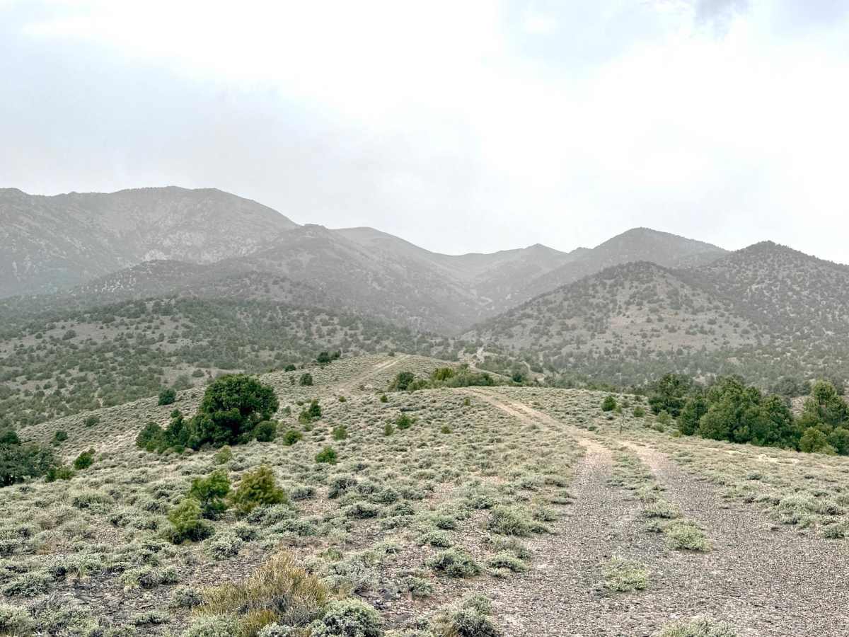
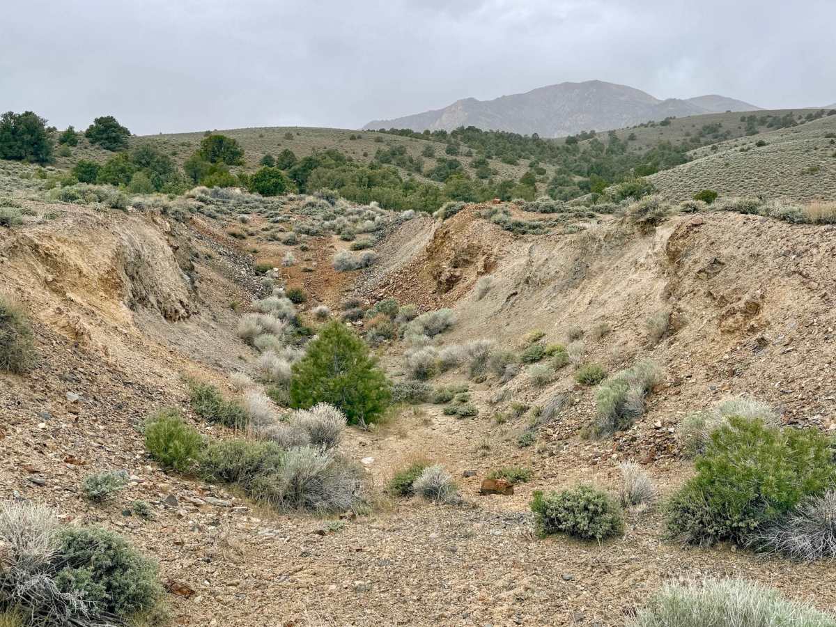
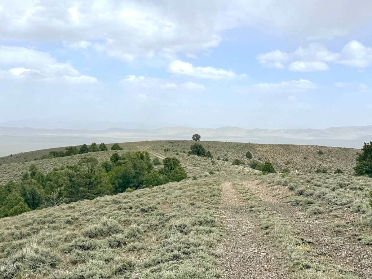
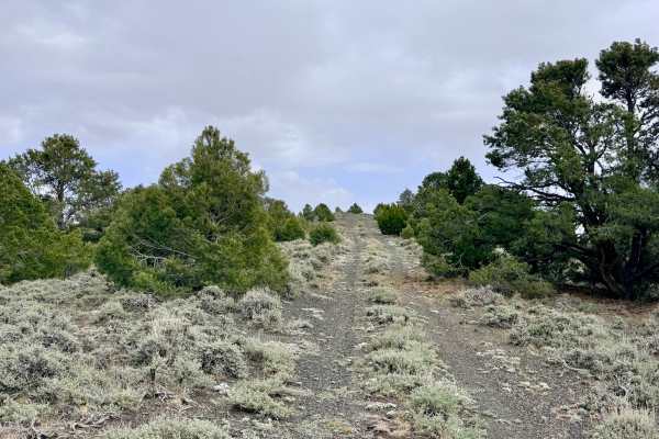
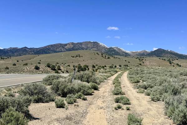
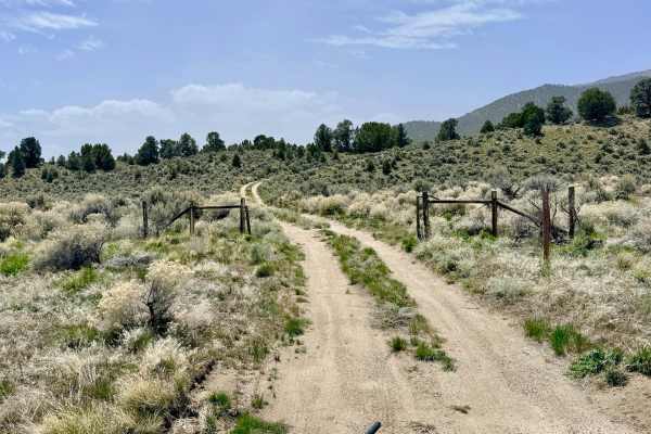
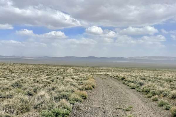
Lowboy Mine Spur A is a short out-and-back extension of the main Lowboy Mine trail, designed for those who want a deeper look at the diverse geological exploration that occurred in these hills. This trail leads you away from the primary Mine workings and out toward several exploratory dig sites and scattered tailings piles. While no wooden or stone structures remain on this specific spur, the raw, excavated earth serves as a clear map of where 20th-century prospectors hoped to find their fortune. The drive offers a nice change in perspective, providing intimate views of the rugged canyon walls as you head out, and expansive mountain vistas as you return. The trail eventually terminates abruptly on a flat tailings pile. While there is enough room for a small campsite, and the spot is relatively flat, there are far superior, more scenic campsites along the main access roads. This spur is best enjoyed as a quick historical scouting mission or a quiet place to pull over for a lunch break away from the main track.
There is no cell service on this spur. The surrounding hills block all signals from the valley. Download offline maps before leaving the Austin or Bob Scott Campground area.
Difficulty
Rated a 3 due to several steep hill climbs covered in loose "scree" gravel. There are also sections with deep ruts and the occasional large boulder in the middle of the track, which require careful tire placement.
History
Spur A represents the "boots on the ground" reality of Nevada prospecting. During the mid-1900s, when the Lowboy complex was active, miners didn't just dig in one spot; they fanned out across the hillsides, following geological clues. These exploratory holes were often the result of "wildcatting"—drilling or digging small pits to see if a vein of silver or uranium was worth a full-scale operation. Most of these pits, like the ones at the end of this spur, didn't yield the "big strike," leaving behind only these quiet piles of earth as a legacy of their effort.