Trail Overview
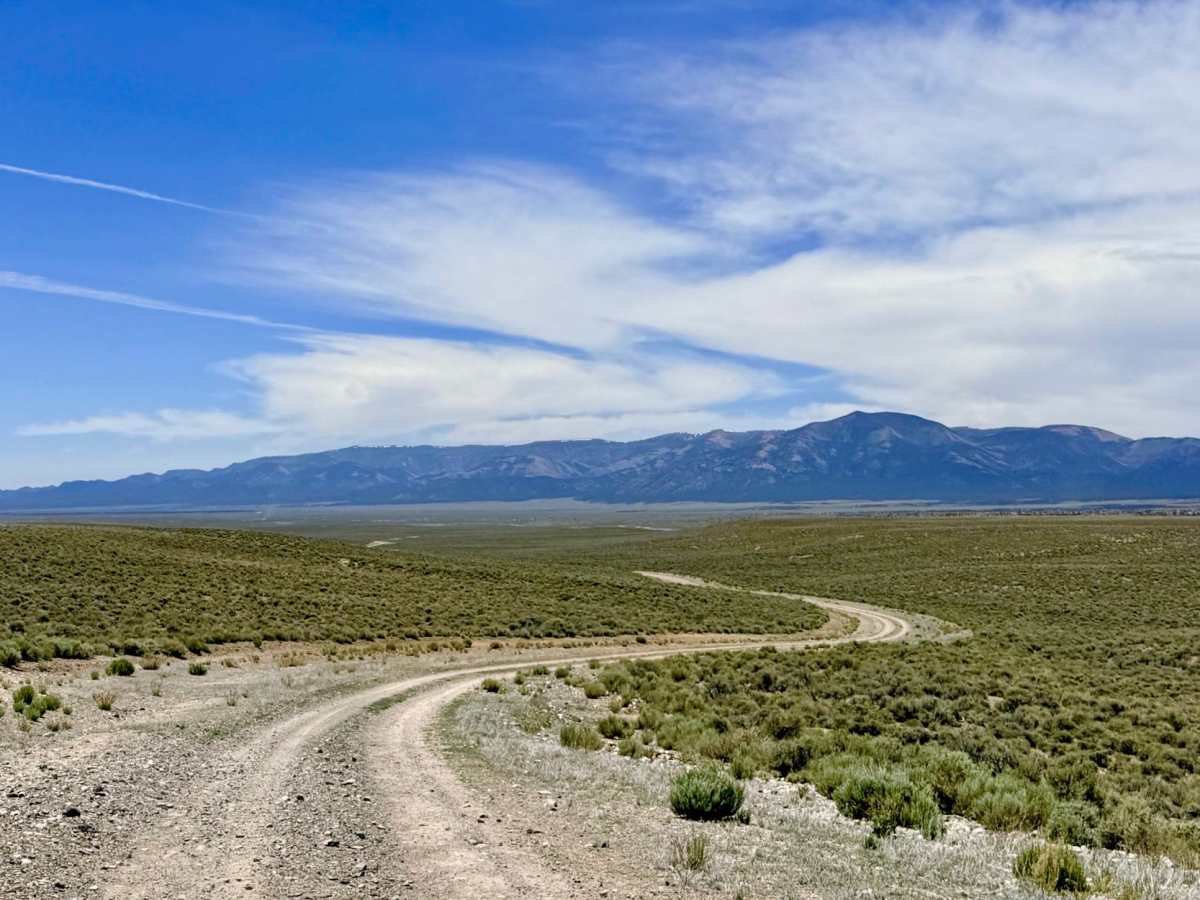
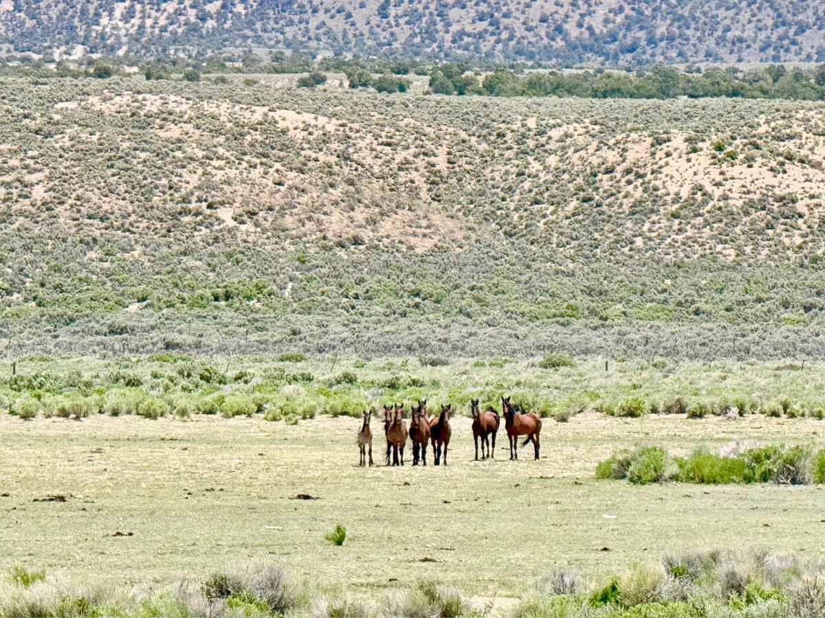
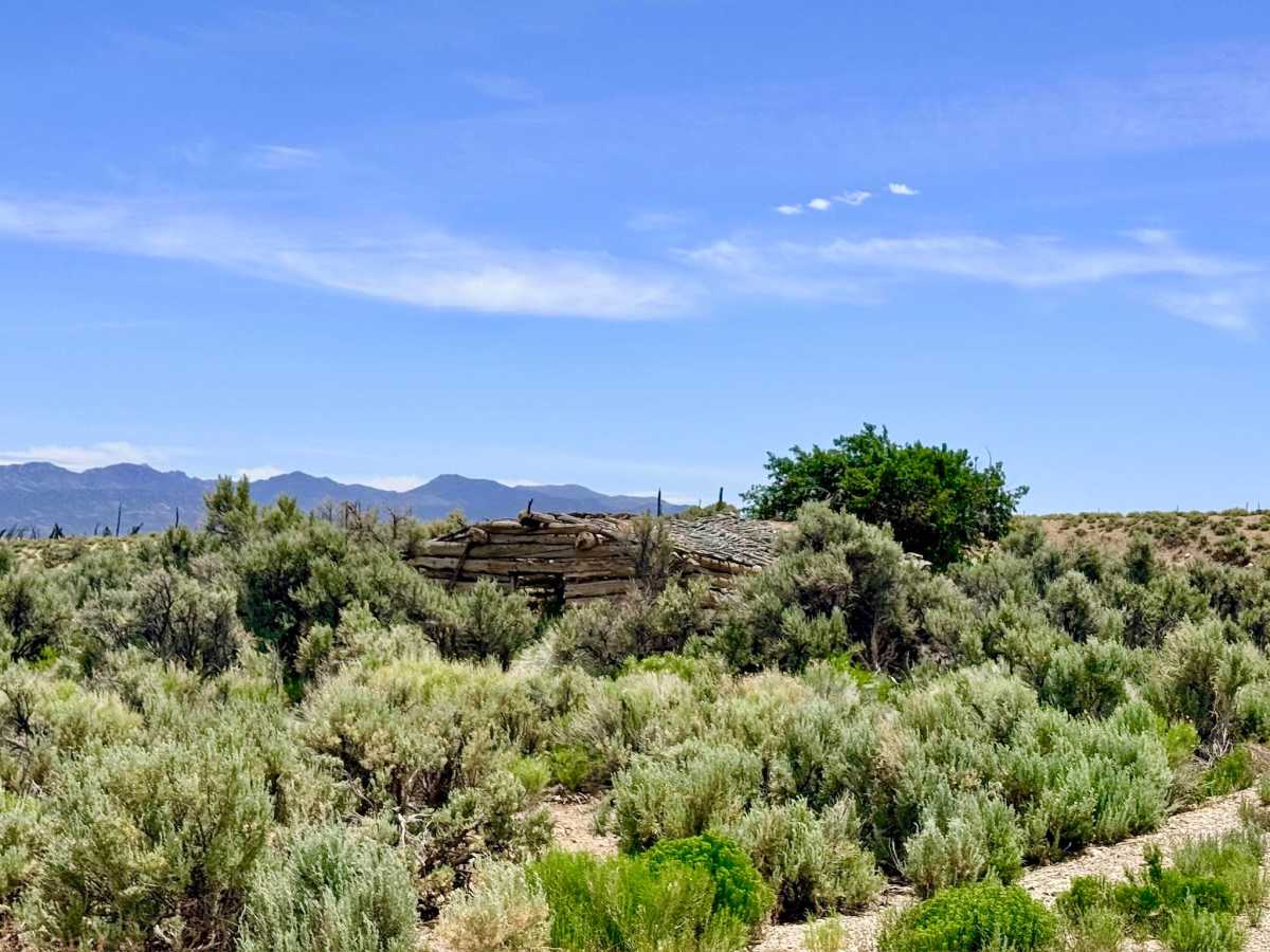
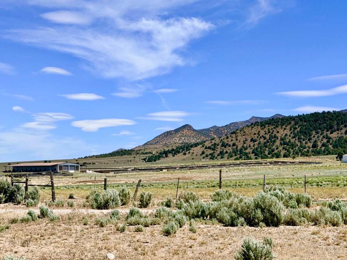
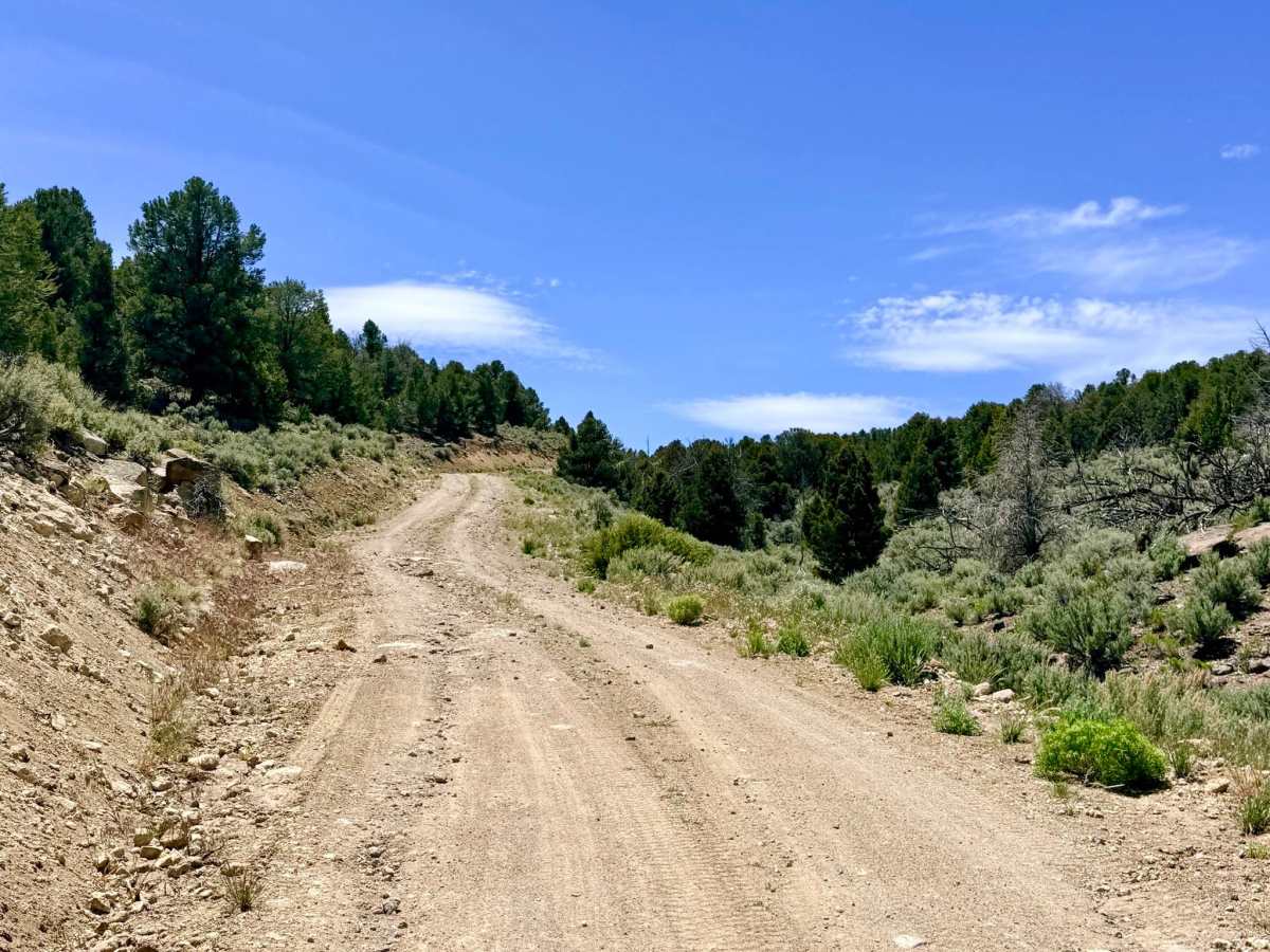
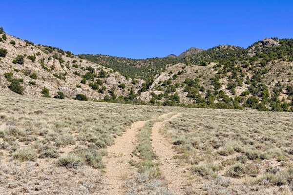
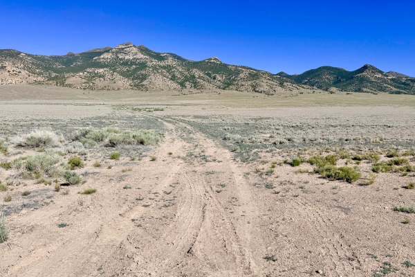
Segura Pass is a magnificent mountain passage that serves as a vital corridor between the north side of Little Fish Lake Valley and the expansive Antelope Valley. This route offers a quintessential "Basin and Range" experience, winding and twisting through the rugged saddle that separates these two massive desert basins. To the east, you are flanked by the Antelope Mountain Range and the Antelope Wildlife Preserve, which the trail borders directly. To the west, the horizon is dominated by the towering, jagged peaks of the Monitor Range, which often hold their snow-capped crowns well into June. The drive is exceptionally scenic, featuring constant elevation shifts as the road rises and falls with the natural mountain contours. The area is a stronghold for Great Basin wildlife; travelers are highly likely to encounter large bands of wild mustangs, grazing cattle, and Pronghorn Antelope. Keep a sharp eye on the sky for the various native hawks that patrol these ridges. A major historical highlight occurs at the southern end of the trail at the Clear Creek crossing. As you splash through the reliable waters of the creek, you can view the historic Clear Creek Cabins from the road. These weathered structures remain in remarkably decent shape, serving as silent sentinels of Nevada’s pioneer era. The historic cabins at Clear Creek are on private property. Please remain on the designated road, take only pictures, and respect the boundary to ensure continued public access for the community. Expect zero cell service for the duration of this 1.5-hour run. The high ridges of the Monitor and Antelope ranges create a total signal shadow. Download offline maps before leaving town.
Difficulty
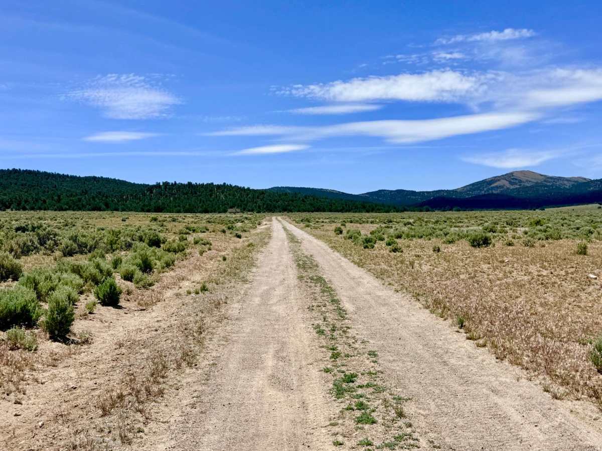
Suitable for most high-clearance SUVs and 4x4 vehicles. While technically easy, the rocky segments and technical washouts make high ground clearance and all-terrain tires a distinct advantage. Stay alert for several rougher, rocky sections and established ruts. Evidence suggests this trail becomes completely impassable when wet; avoid this route during heavy rain or spring snowmelt to prevent damaging the road or getting stuck. The water crossing at Clear Creek is typically shallow and refreshing, but can deepen significantly during the spring runoff.