Trail Overview
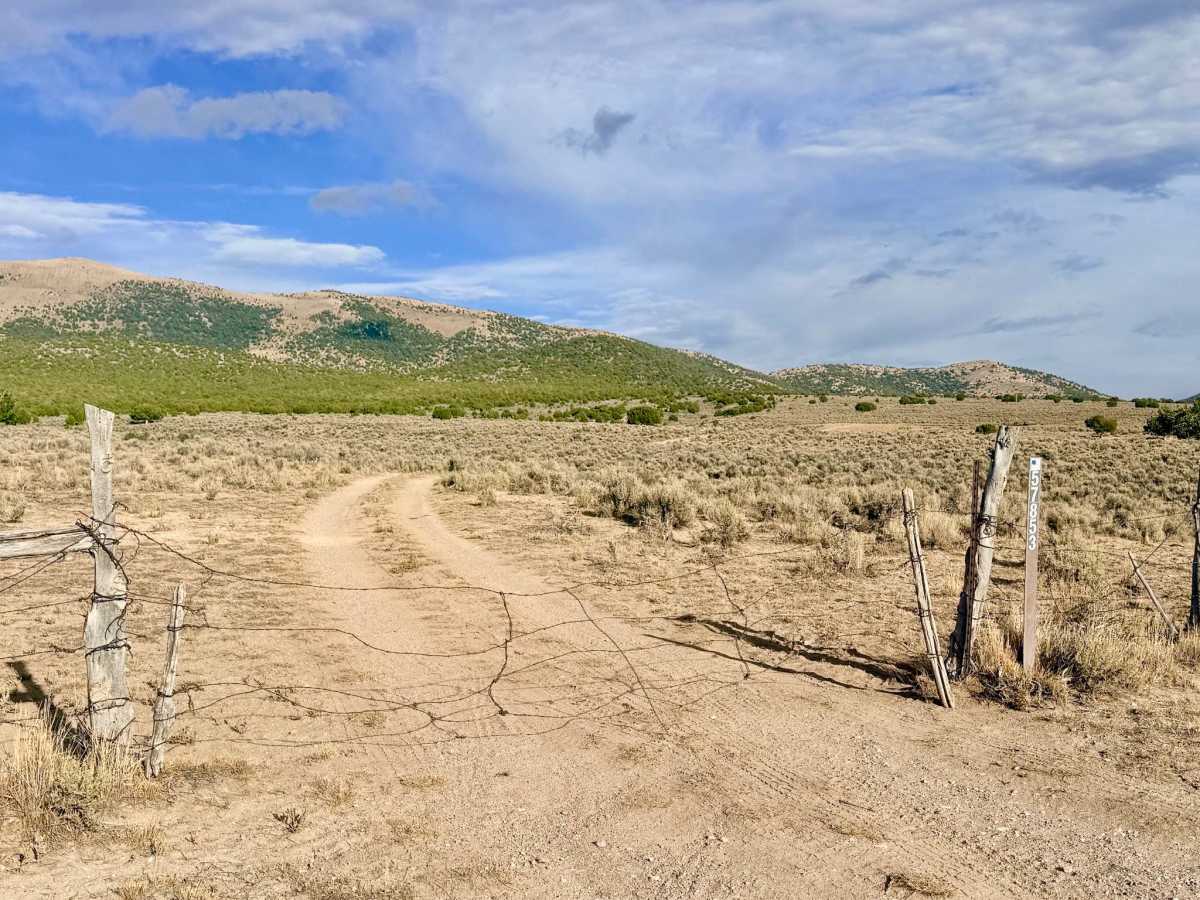
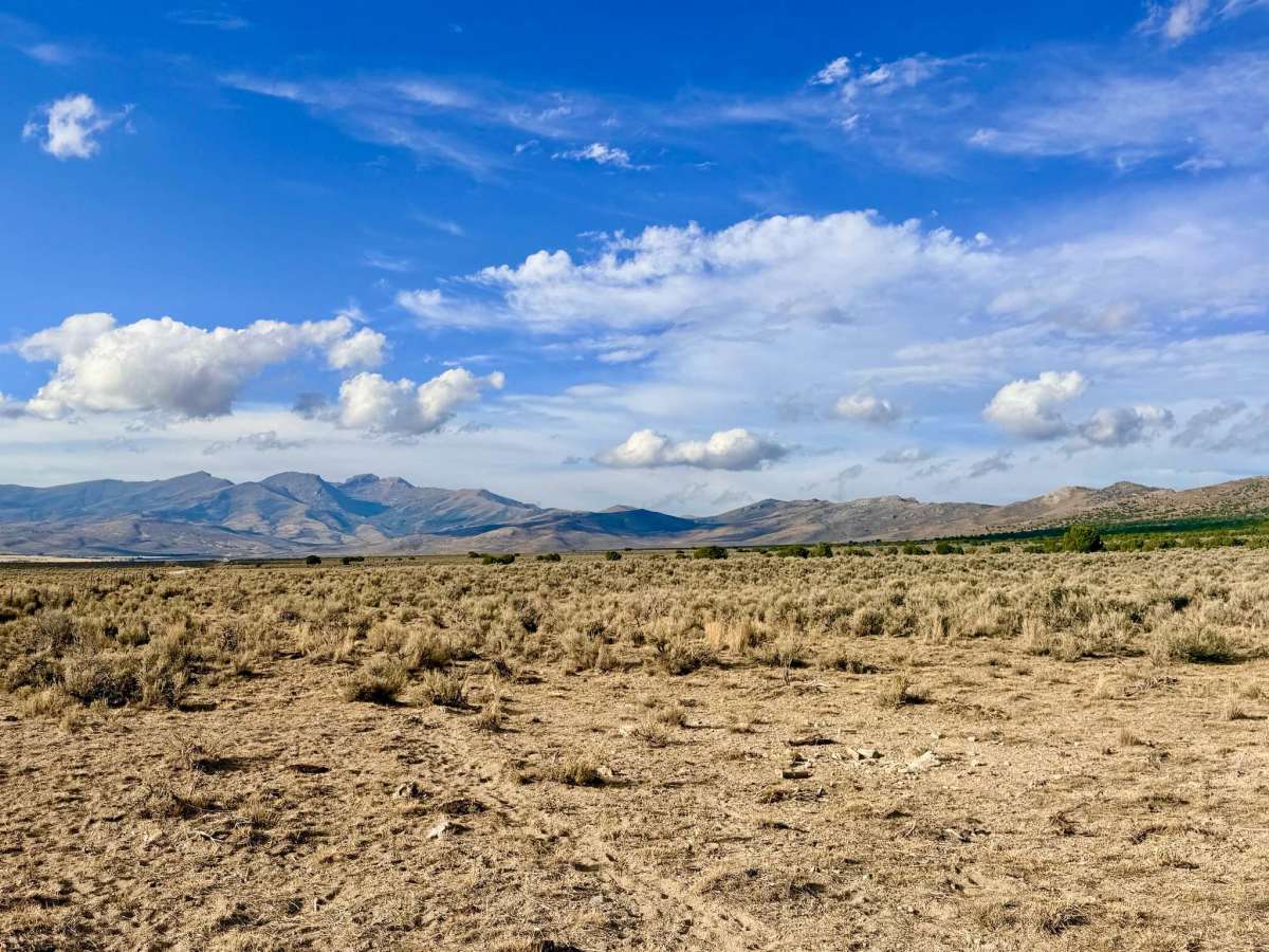
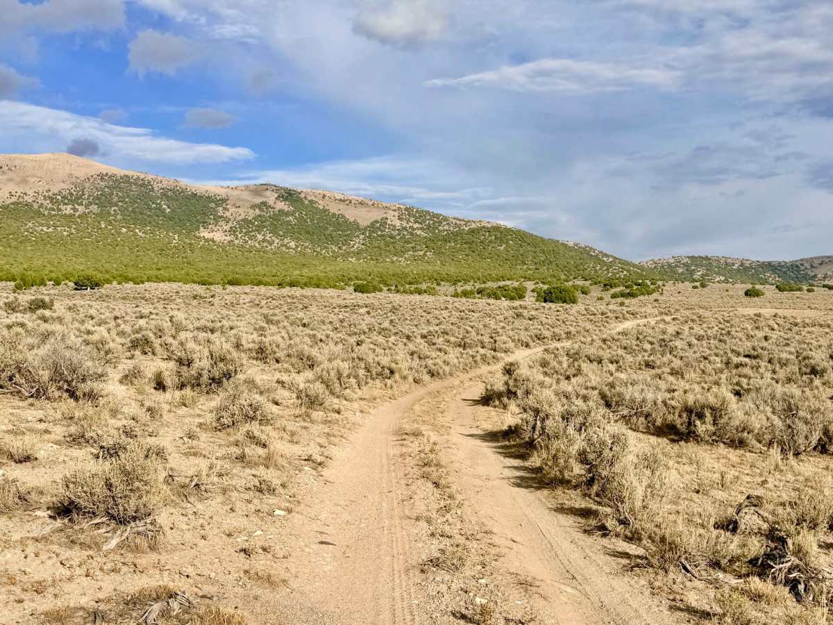
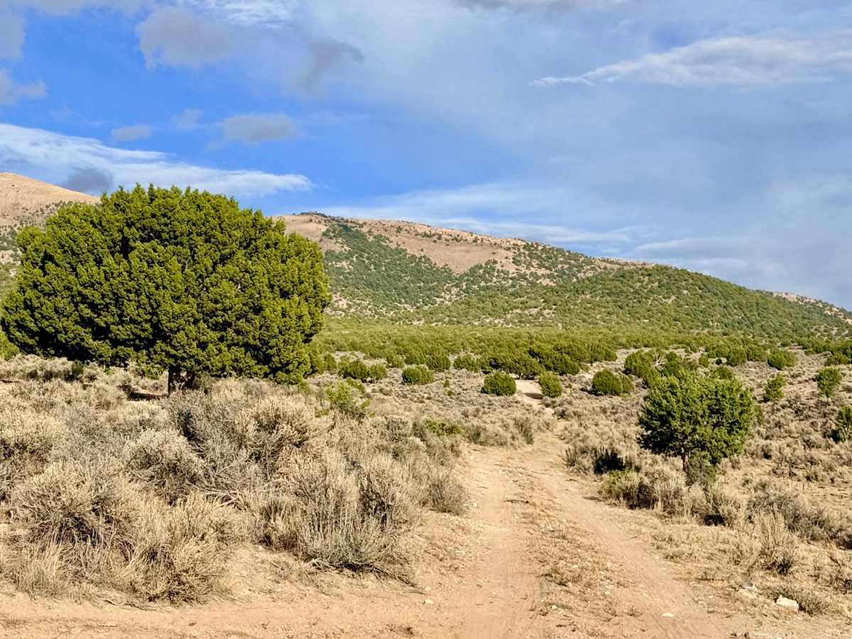
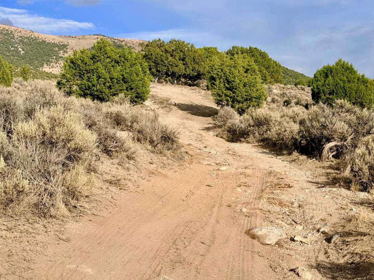
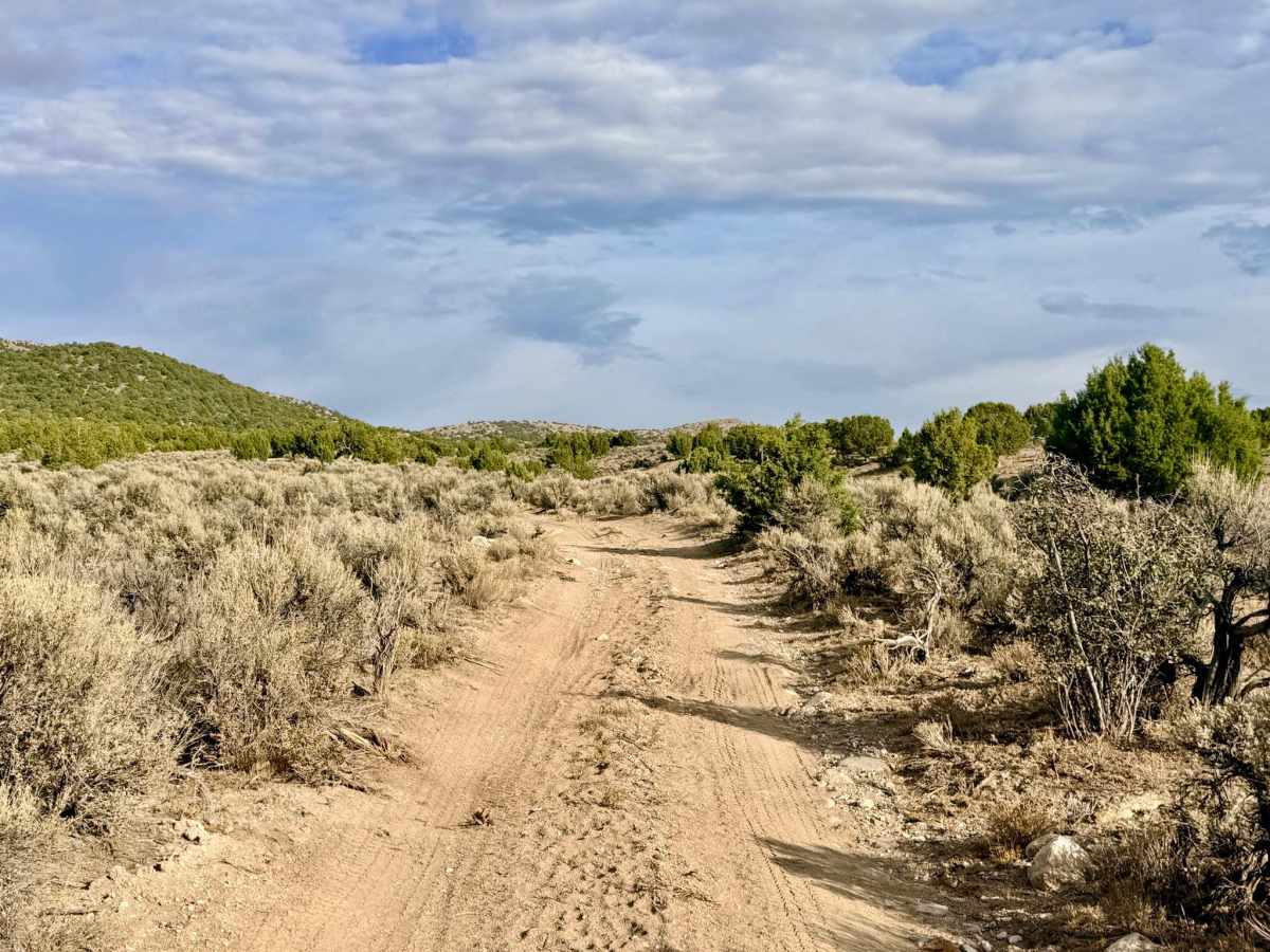
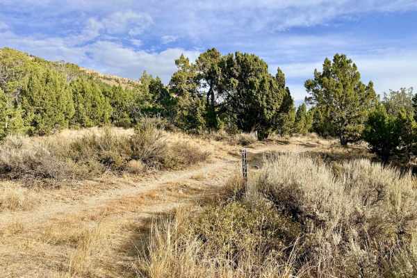
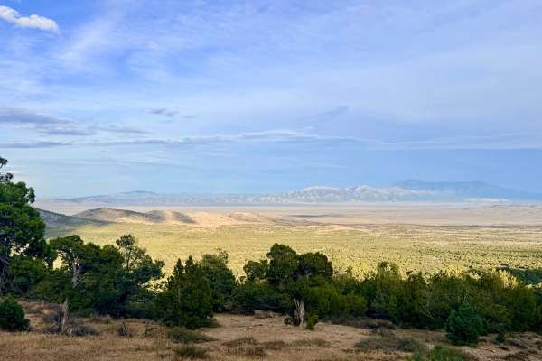
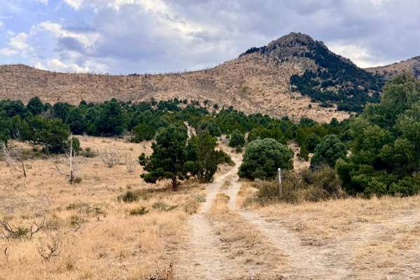
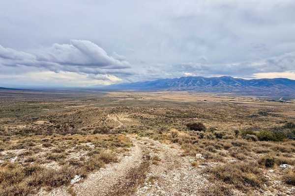
This trail is a highly scenic access route that climbs from North Ruby City Road directly into the East Humboldt Range. The trail offers a beautiful environmental transition, starting low in sweeping, open meadows of classic Nevada sagebrush before weaving its way up into a dense, fragrant juniper forest. Along the way, you will find a couple of scattered, dispersed campsites nestled in the trees. The route weaves through active ranching allotments, as shown by feeder troughs and livestock fences crossing the path. Ruby City Creek acts as a crucial gateway, providing access to several smaller spur trails. For those on ATVs, dirt bikes, or narrow side-by-sides, this route eventually connects to the Warm Springs Trail, which continues up and over the Humboldt Range. Note: full-size vehicles will not fit on the upper mountain continuation. There is zero cell service on this trail. It is recommended to download your onX Offroad maps for offline use before you leave the highway.
Difficulty
This trail is rated a 3 due to some slightly off-camber sections, washed-out areas, and rutted transitions that require careful driving. As the trail climbs, it becomes increasingly narrow; expect inevitable "pinstriping" (paint damage) from the encroaching juniper branches. A high-clearance 4x4 is recommended.
History
The name "Ruby" in this region, reflected in nearby Ruby Valley, Ruby City, and the Ruby Mountains just to the south, traces its origins back to early US Army expeditions and pioneer prospectors in the mid-1800s. Soldiers panning the streams discovered small, red stones they believed were valuable rubies; they were actually garnets, but the name stuck. Over time, the lower foothills surrounding these ranges transitioned from temporary prospector camps to enduring cattle and sheep ranches. The livestock feeder troughs and fence lines you pass on this trail are a direct continuation of the historic, generational ranching practices that have sustained the local Nevada economy for over a century.