Trail Overview
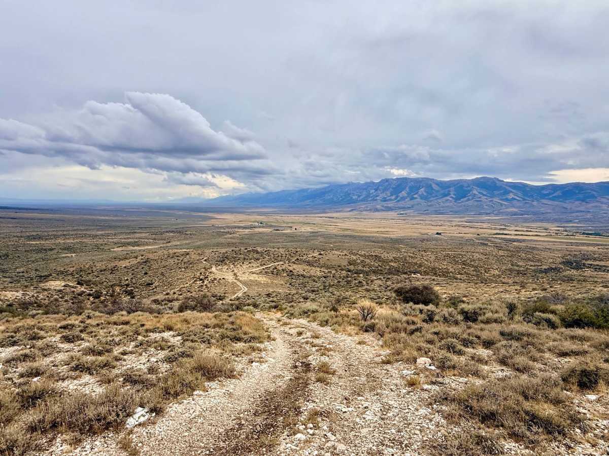
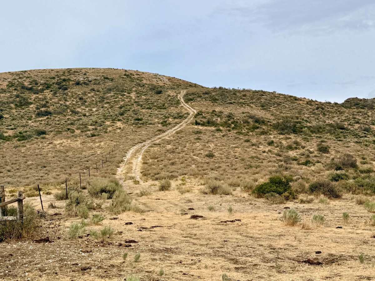
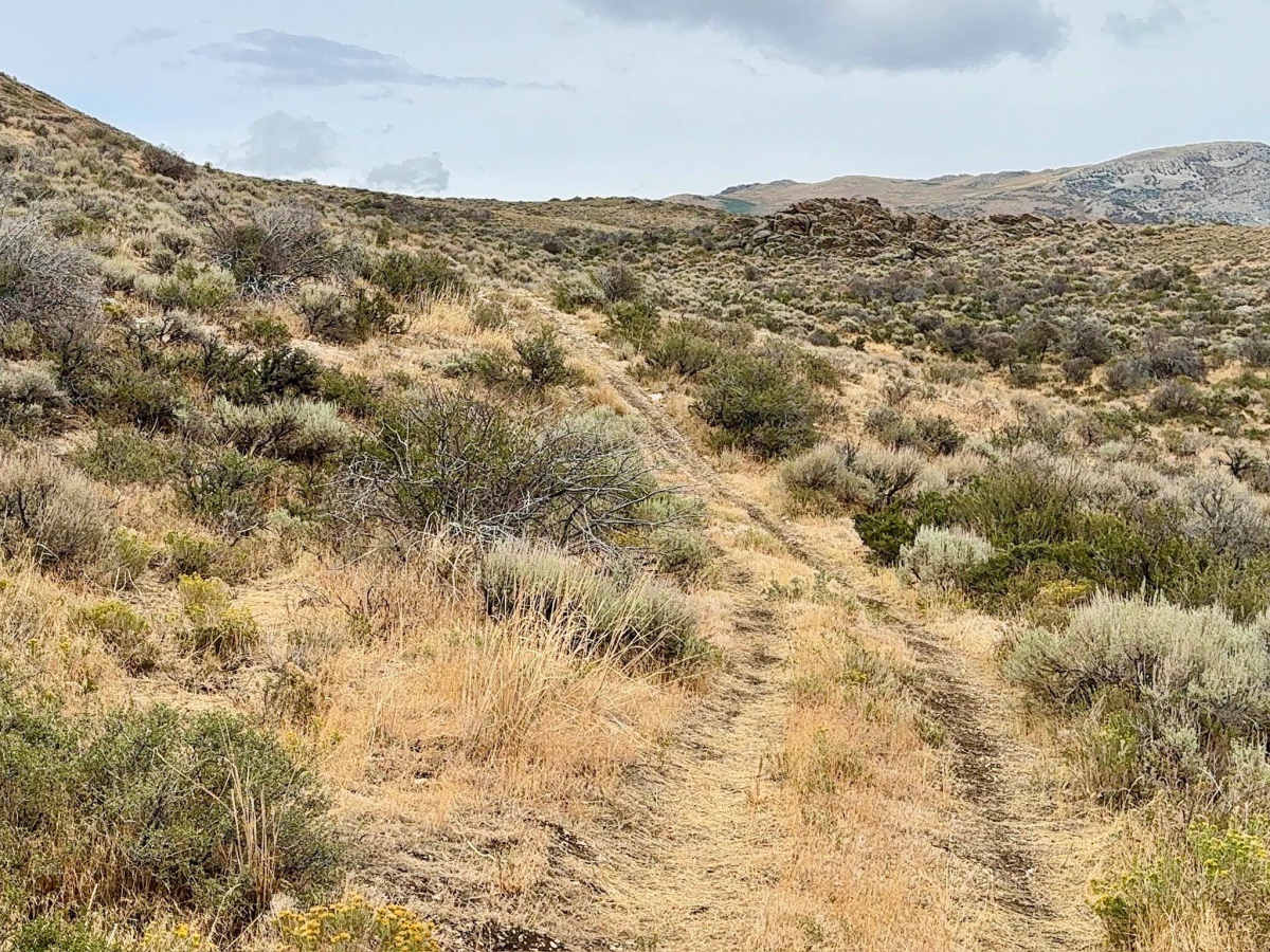
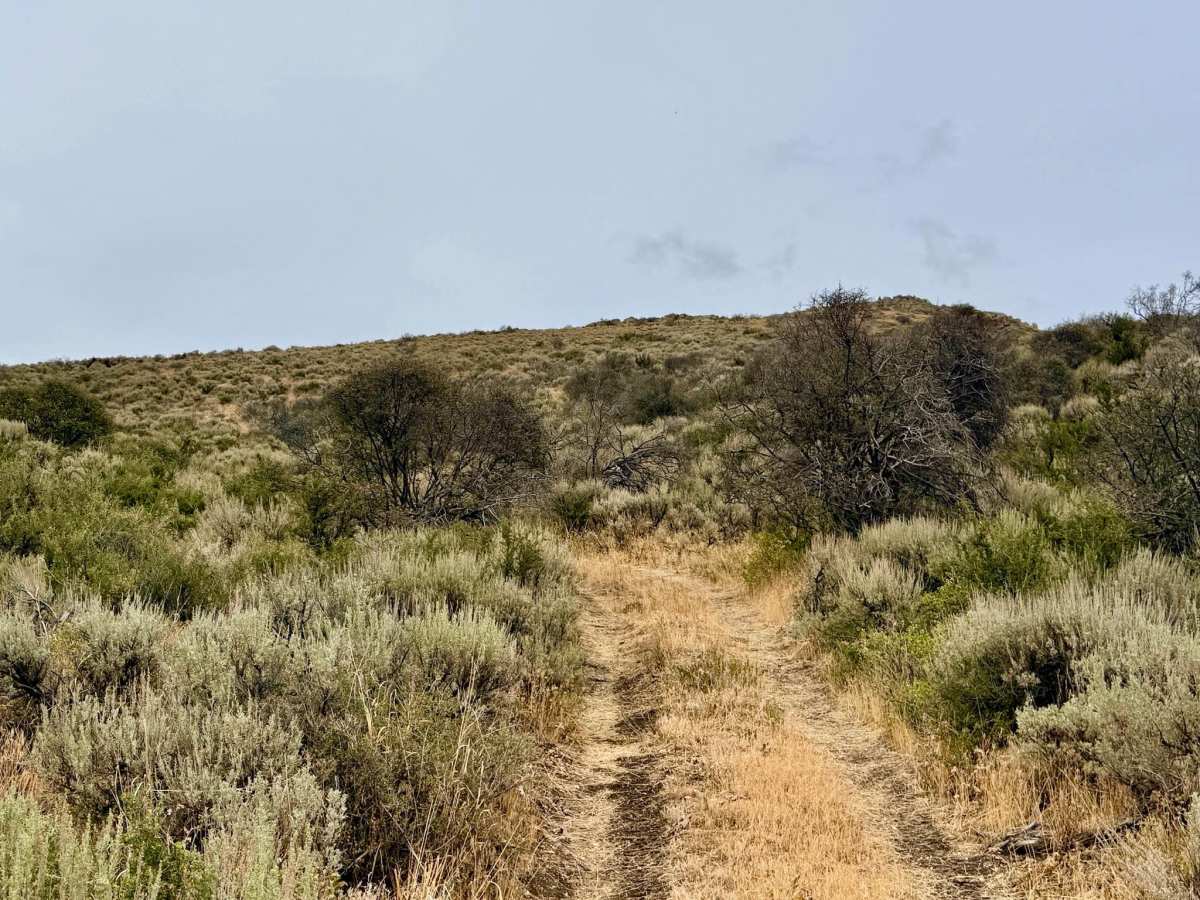
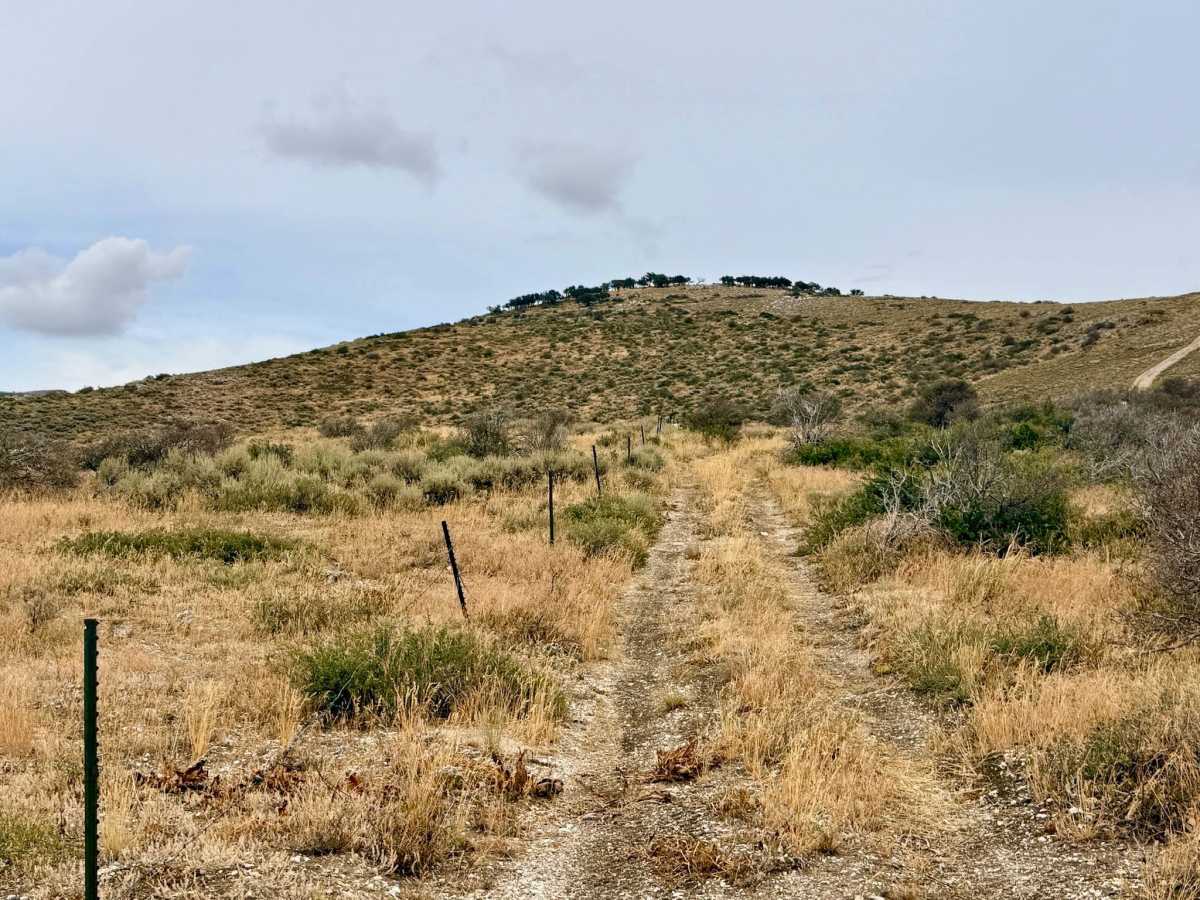
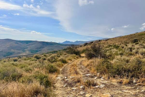
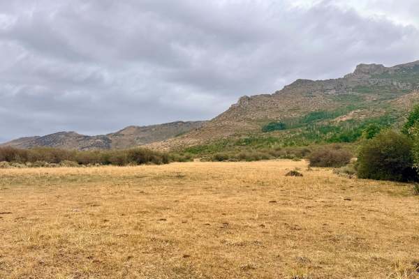
This is an exciting and highly engaging over-the-mountain route that serves as a thrilling connector between the two sides of the main Horse Creek loop. The trail demands your attention as you climb up and over the mountain, navigating steep, technical, and loose rocky sections. The reward for tackling the climb is outstanding, panoramic views of the surrounding peaks and sprawling valleys below. As you crest the mountain and begin your descent, the trail levels out in a few spots. These flat areas offer incredible vantage points and make for premier, high-altitude dispersed camping locations. Because this region is active open range, you will likely find yourself sharing these mountain views with wandering cattle, adding to the authentic, rugged Nevada backcountry experience. Always leave cattle gates exactly as you found them. There is absolutely no cell service up here. It's recommended to download your onX Offroad maps for offline use .
Difficulty
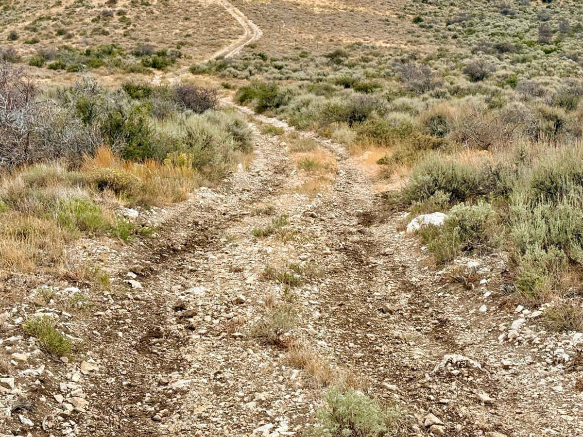
This trail earns its rating due to a steep, long, and loose rocky climb on the southern end. Near the peak, the trail features several large, dug-out holes where a vehicle with good suspension articulation and high clearance is highly recommended to navigate cleanly. 4x4 and 4-Low are required. The large, dug-out holes near the peak will test your vehicle's suspension limits. The southern end features a notoriously steep and loose grade.
History
As a high-elevation connector trail in the East Humboldt Range, Horse 2 traverses land that has been essential for summer grazing for over a century. Early pioneers and local ranchers quickly learned to push their cattle up into these cooler, high-altitude ranges during the scorching Nevada summers. The steep, winding paths you drive today were likely originally carved out by generations of cowboys, prospectors, and Basque sheepherders navigating their way over the peaks. This deep-rooted agricultural tradition remains visibly active today through the modern livestock still wandering these ridgelines.

 Offroad