Trail Overview
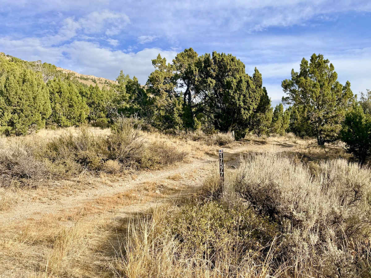
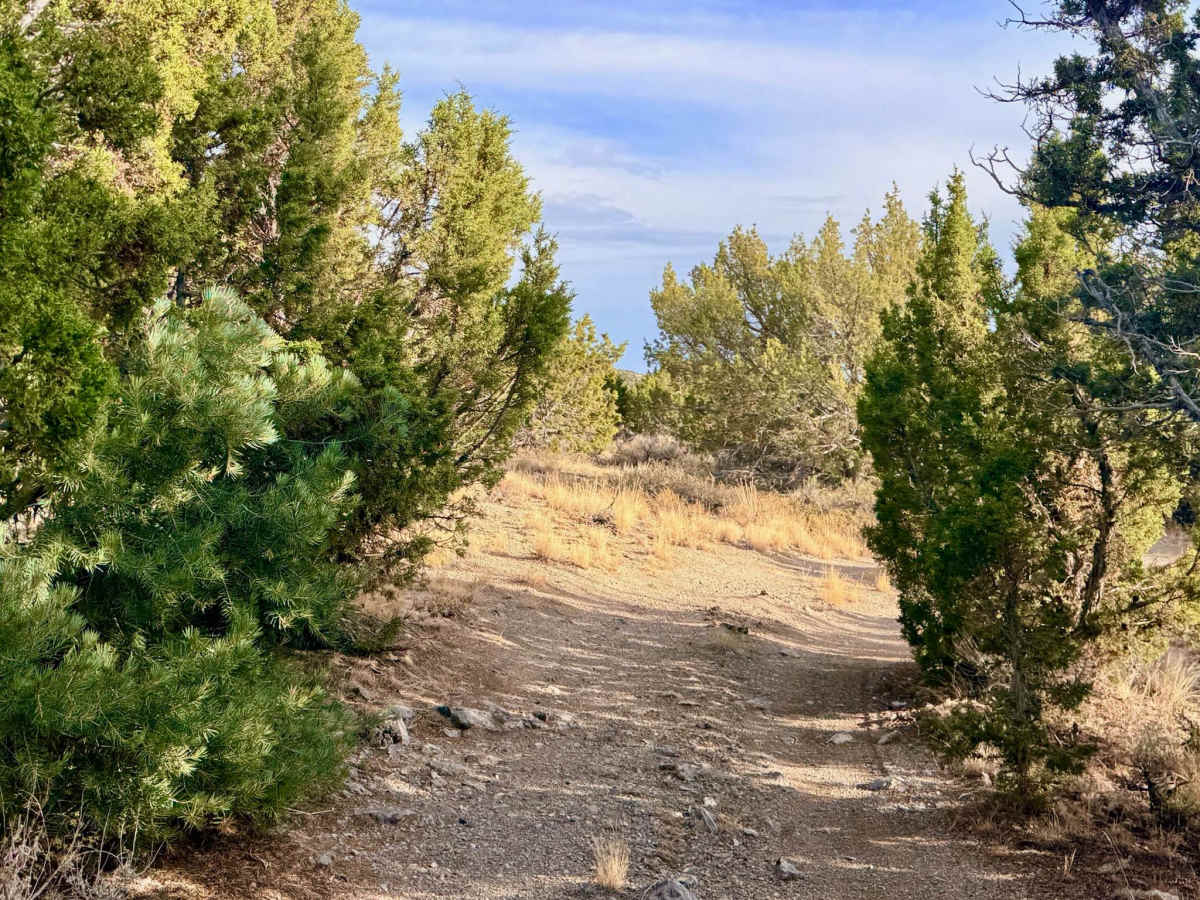
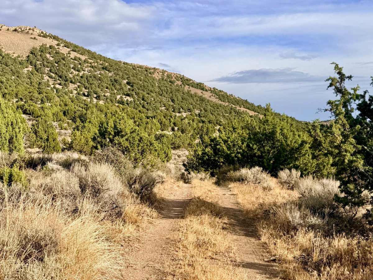
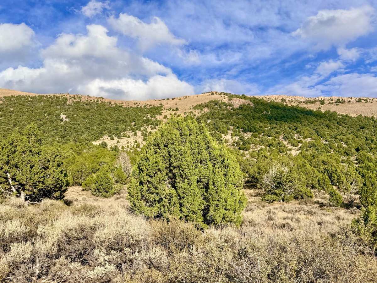
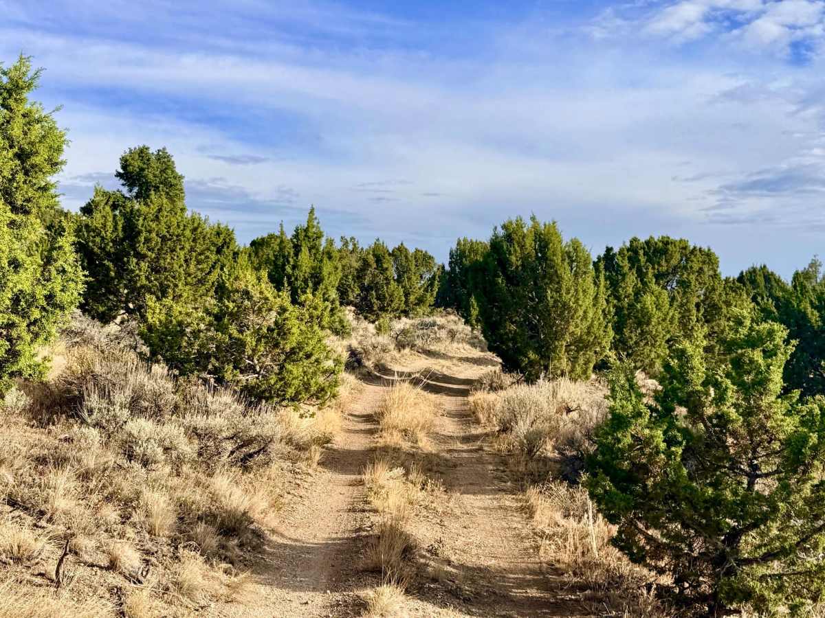
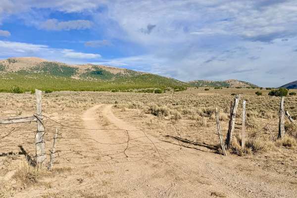
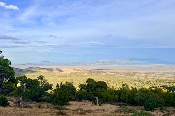
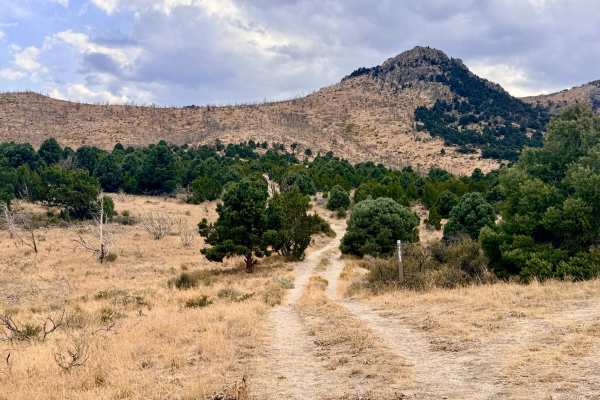
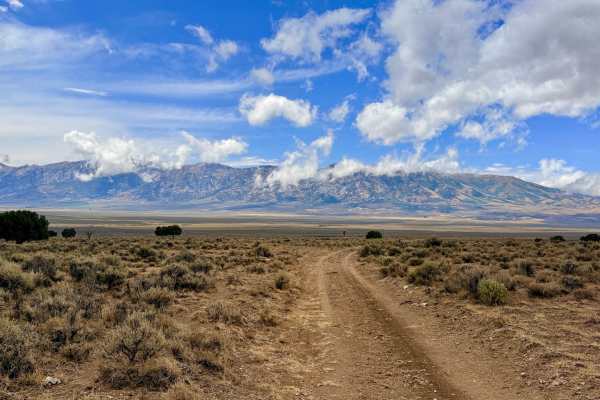
Arizona Spring is a highly functional, scenic cut-across route linking the Maine Trail and Arizona Spring 3 Trail. Its namesake, Arizona Spring, is situated directly between these routes and is a low-flow water source likely tapped to support local cattle and wildlife. Starting in the southern section, the trail takes you on a roller-coaster ride over rolling sagebrush hills with a series of steep climbs and drops. As you push further north and approach the spring, the landscape shifts dramatically as the trail narrows and plunges into dense groves of juniper trees. Continuing north past the spring, the route eventually intersects with the transition point for the Warm Springs and Ruby City Creek trails. Along the way, you'll spot several flat, grassy clearings that make excellent impromptu dispersed campsites, though you won't find any established fire rings. Keep your eyes peeled as you explore; this quiet connector trail is a great spot to spot a mule deer or a coyote darting through the brush. There is absolutely no cell service on this trail. Download offline maps before entering this area.
Difficulty
This trail earns a 3 because of off-camber, rutted transitions and navigating uneven washes. Drivers will also encounter a few steeper hill climbs and descents as the trail rolls through the foothills. High clearance and 4x4 are recommended.
History
The presence of "tapped" springs like Arizona Spring highlights a crucial chapter in Nevada's history: survival in the high desert. In the late 19th and early 20th centuries, pioneer ranchers and Basque sheepherders quickly learned that controlling water meant controlling the land. They ingeniously developed rudimentary piping, troughs, and tap systems at small, natural seeps to ensure their livestock could survive the harsh, arid summers. Driving these historic foothill cut-across trails allows you to retrace the paths forged by these early ranchers, whose water management techniques are still heavily utilized by modern cattle operations today.

 Offroad