Powerline Road

Total Miles1.2
Technical Rating
2Easy
Best TimeSpring, Summer, Fall
Trail TypeFull-Width Road
Accessible By
Open Trail Map

Trail Overview

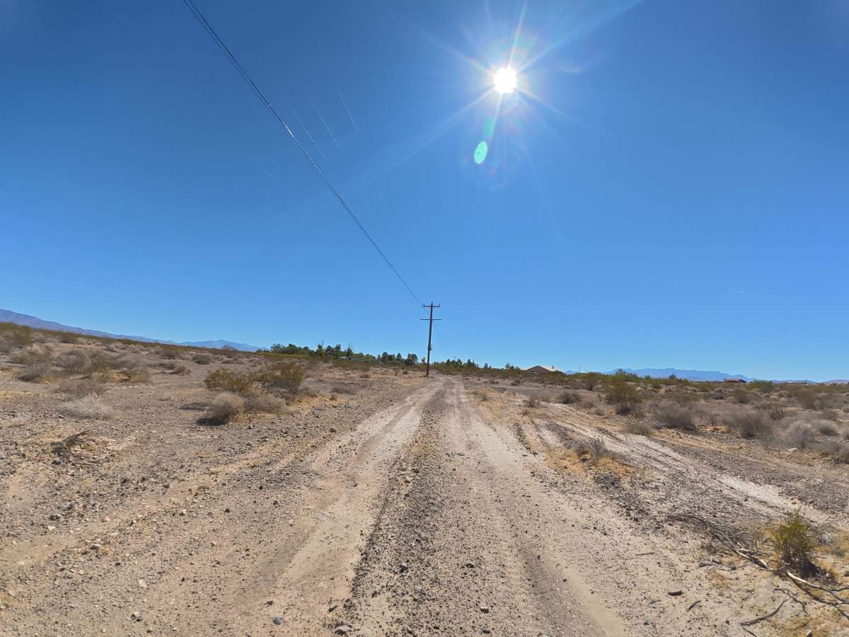
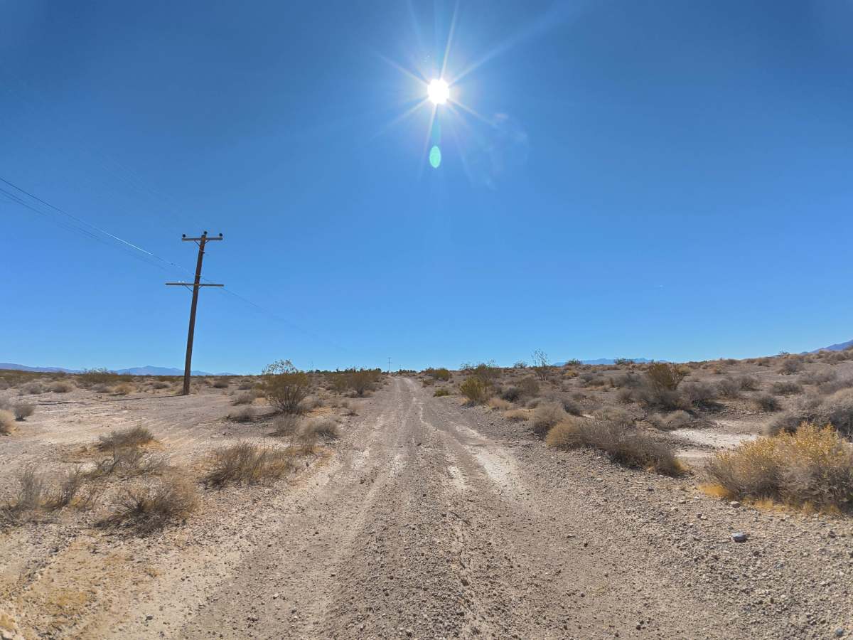
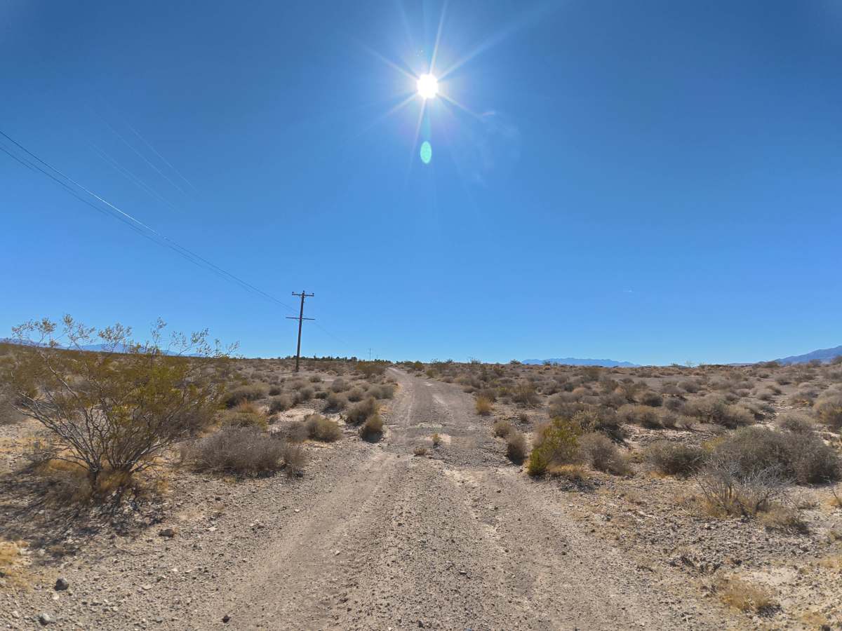
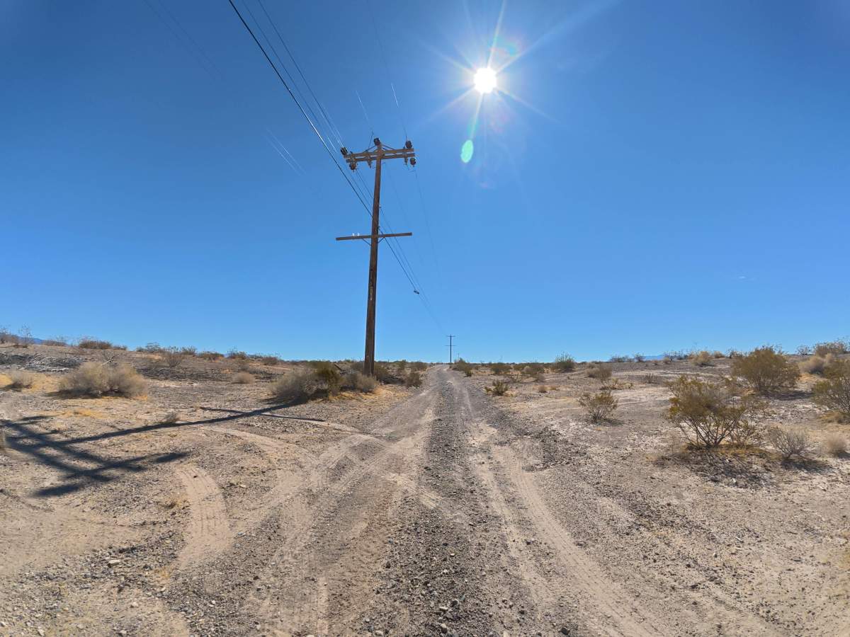
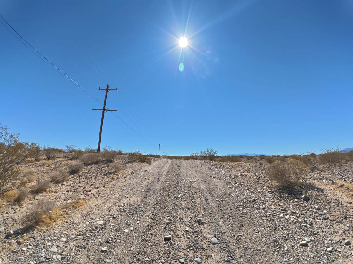
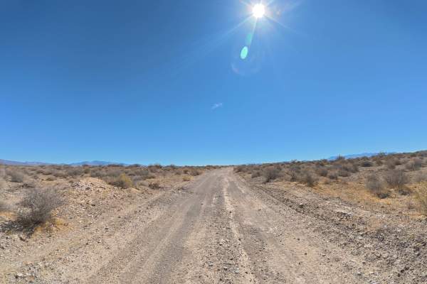
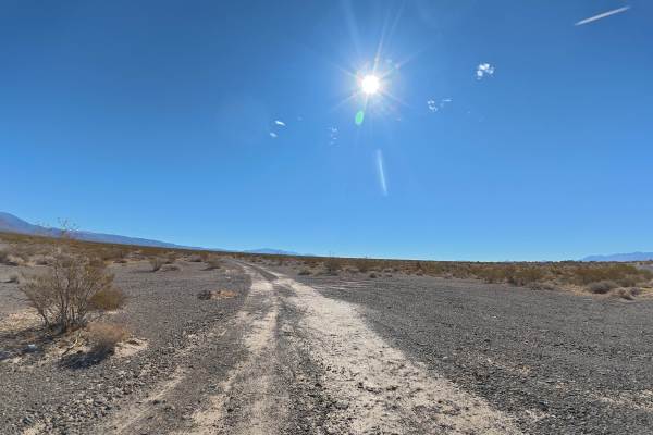
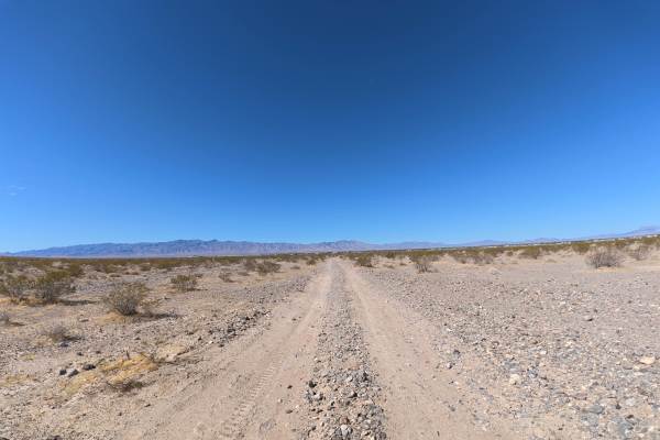
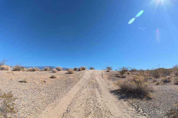
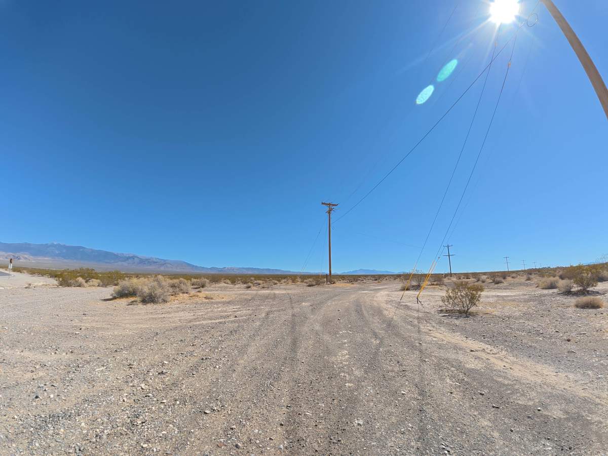
Power Line Road travels over fine, loose dirt that can become more difficult when wet. The trail is narrow, although there are occasional areas to pull aside and allow others to pass. Ruts remain around 2–6 inches deep, while repeated whoops reach approximately 12–18 inches tall. The route provides excellent views of the mountain ranges on both sides of the trail. Camping is abundant, with more than four campsites within the first 0.1 miles and numerous additional sites throughout. Most offer large, level areas with excellent mountain views.

Photos of Powerline Road

Difficulty

This trail is rated Level 2 because of its loose surface, 2–6-inch ruts, and 12–18-inch whoops. The terrain can be bumpy but remains relatively mild under normal dry conditions.

History

The BLM lands south of Pahrump lie along historic travel corridors used by Indigenous peoples for generations and later by Spanish explorers, miners, ranchers, and settlers crossing the Mojave Desert. Portions of the nearby Old Spanish Trail became an important 19th-century trade route connecting settlements in New Mexico with Southern California, leaving the region with a long history of desert travel and exploration.

Technical Rating

2

Powerline Road Trail can be accessed by the following ride types:

  • Single Track
  • 50 Inch
  • 60 Inch
  • High Clearance
  • Full Width

Powerline Road Map

The onX Offroad Difference

onX Offroad combines trail photos, descriptions, difficulty ratings, width restrictions, seasonality, and more in a user-friendly interface. Available on all devices, with offline access and full compatibility with CarPlay and Android Auto. Discover what you're missing today!

Open Trail Map