Trail Overview
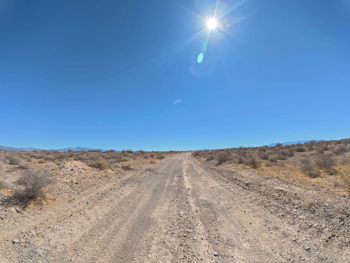
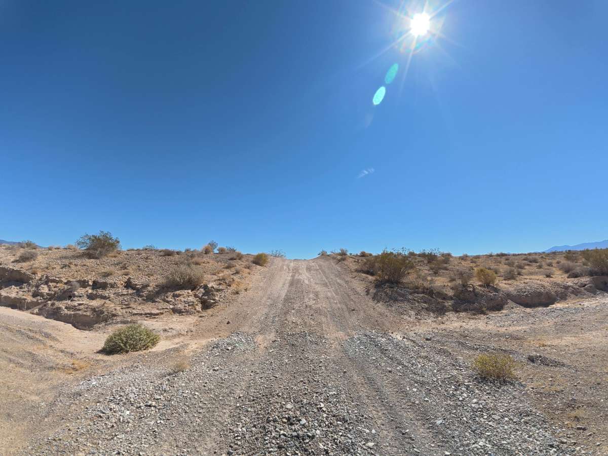
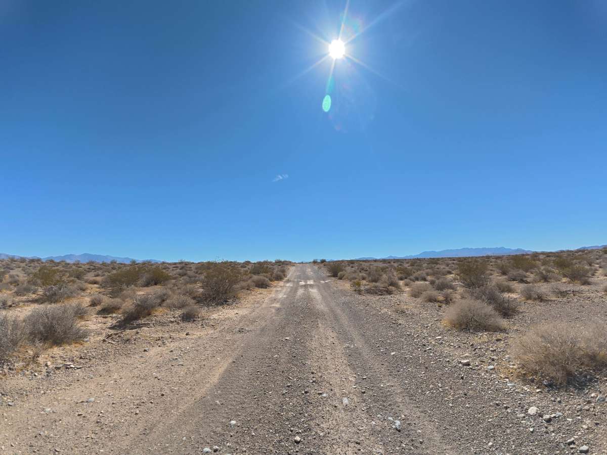
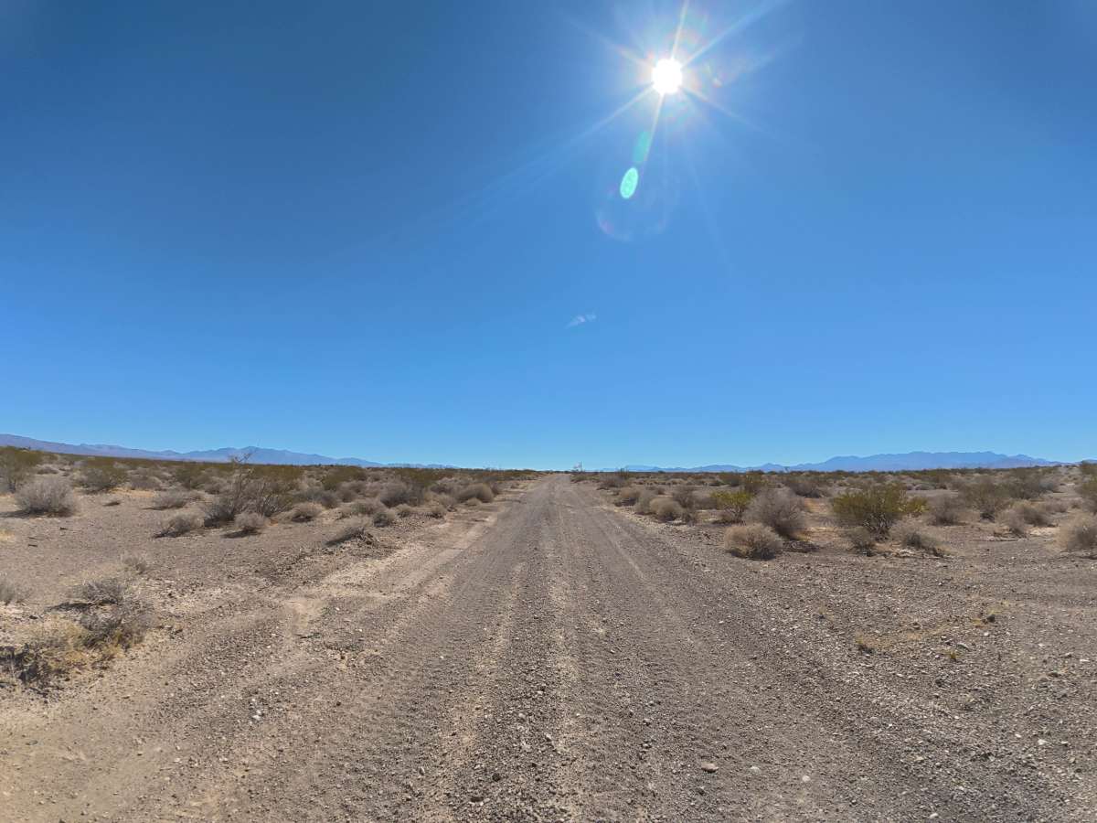
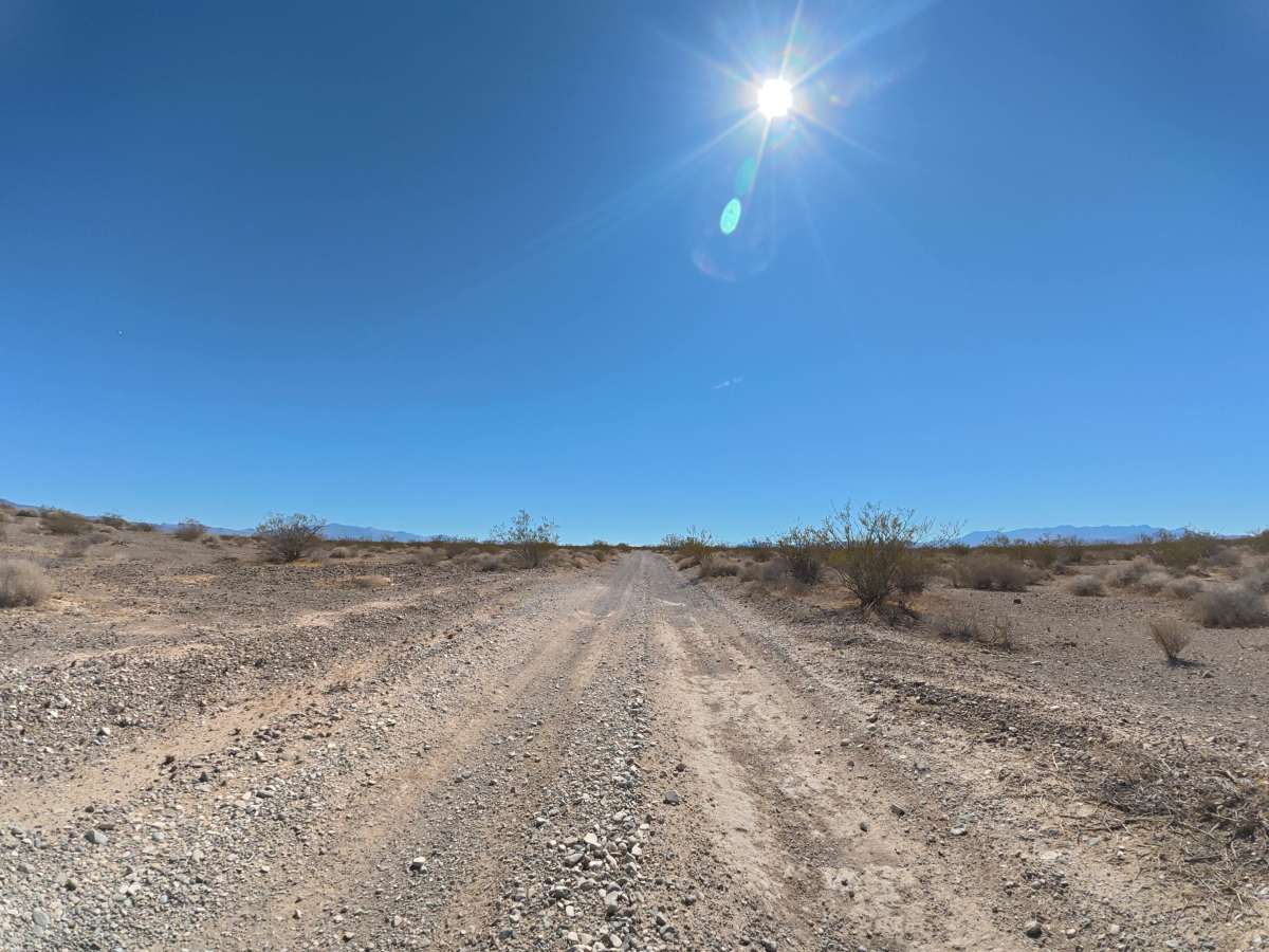
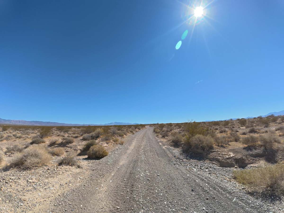
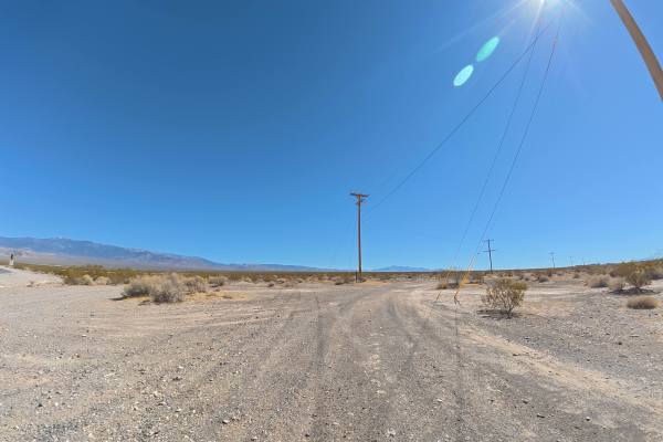
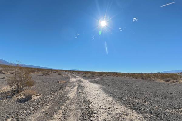
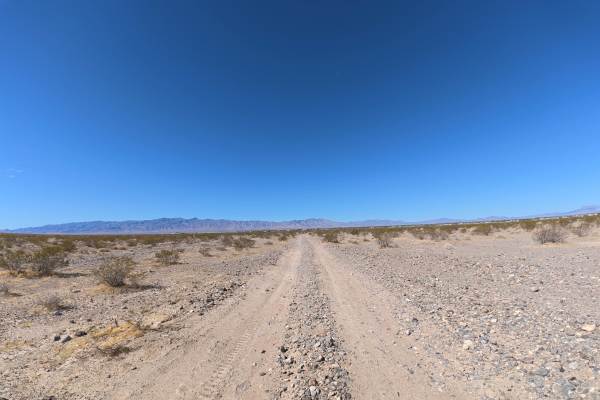
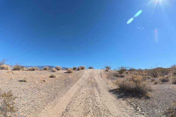
Old Route 16 travels over fine, loose dirt that can become more difficult when wet, transitioning to a gravel surface around 0.2 miles. Ruts reach 6–8 inches deep, with frequent 12–20 inch whoops and sections reaching approximately 8° off-camber. The trail is wide enough for passing and is trailer- and van-friendly. Camping is abundant throughout the route, with numerous large, level sites accommodating up to eight vehicles and offering scenic mountain views. Around 4.3 miles, a much larger group campsite can accommodate approximately 30 people. The route provides continuous views of the mountain ranges on both sides before connecting with Front Sight Road.
Difficulty
This trail is rated Level 2 because of its 6–8-inch ruts, repeated 12–20-inch whoops, and sections reaching 8° off-camber. The wide trail provides plenty of maneuvering room and remains suitable for vans and trailers.
History
The BLM lands south of Pahrump lie along historic travel corridors used by Indigenous peoples for generations and later by Spanish explorers, miners, ranchers, and settlers crossing the Mojave Desert. Portions of the nearby Old Spanish Trail became an important 19th-century trade route connecting settlements in New Mexico with Southern California, leaving the region with a long history of desert travel and exploration.