Trail Overview
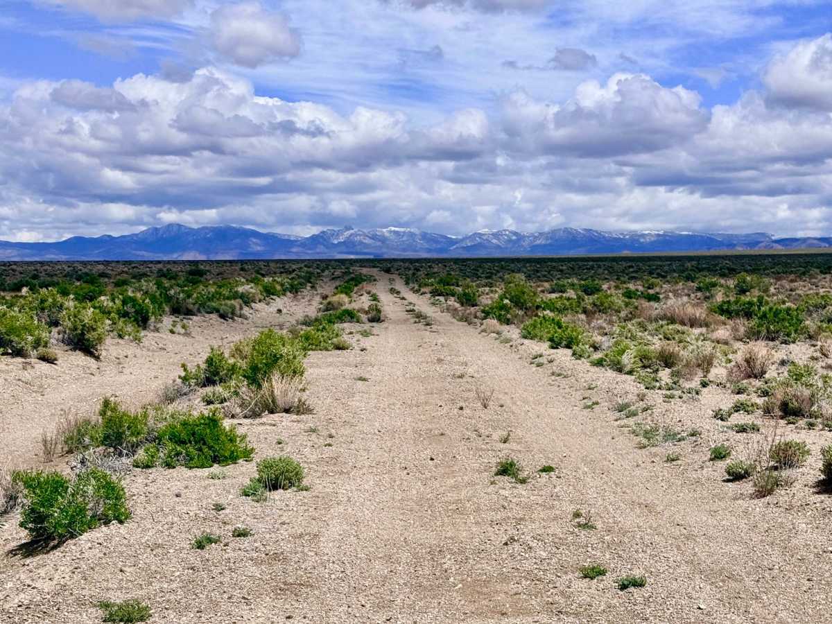
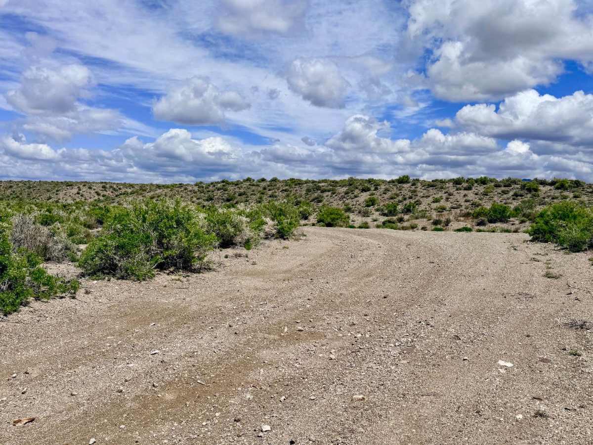
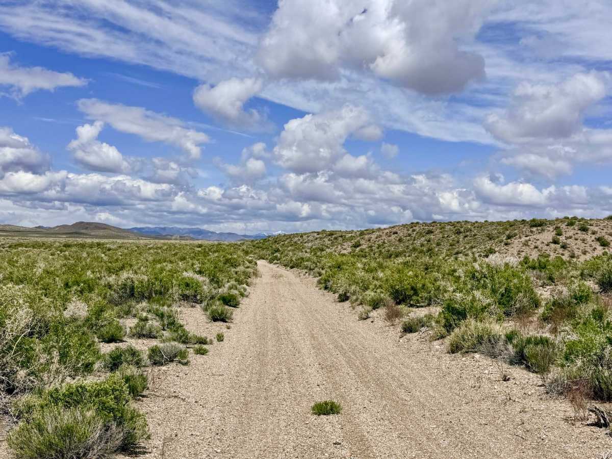
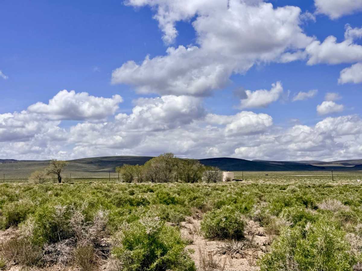
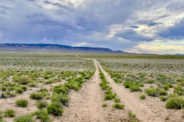
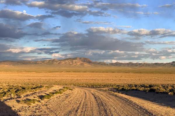
North Rye Patch is an essential and enjoyable north-south two-track that serves as a corridor across the sprawling valley floor. This trail is a favorite for explorers looking to link the lower trail networks off HWY6 with the district's northern reaches without ever having to touch the pavement of the main highway. The driving experience is defined by a profound sense of isolation; as you cruise the valley floor, you are treated to breathtaking 360-degree views of the surrounding mountain ranges. While the majority of the trail consists of smooth, easy-going dirt, the route is punctuated by several deep, wheel-sized washouts that "sneak up" on you and appear out of nowhere. These obstacles can easily damage tie-rods or suspension components if struck at high speeds. Aside from these technical "surprises," the route is a beautiful traverse through the sagebrush sea. In the south, the trail provides easy access toward the Red Peak and Thunder Mountain areas, while the northern end allows you to transition into the Warm Springs or Castle Rock systems, or quickly exit onto the historic Belmont Road.
You may see a few LTE bars, but coverage is highly unreliable and frequently drops behind the rolling topography. Download offline maps before leaving the Tonopah area.
History
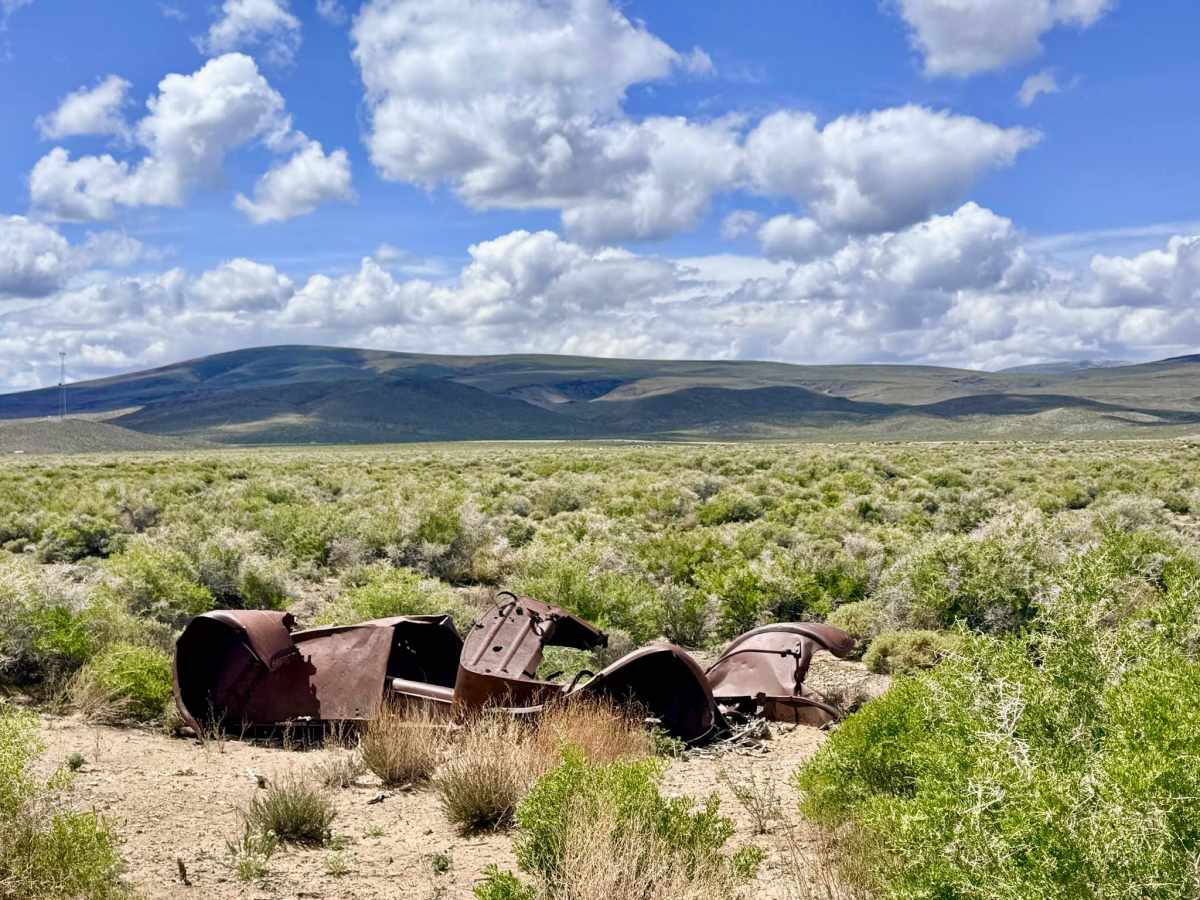
The "Rye Patch" name is a classic Nevada descriptor, referring to the native "Great Basin Wild Rye" that once grew tall and thick in these valley bottoms. For the early 20th-century teamsters and stagecoach drivers, a "rye patch" was a critical resource; it provided the essential forage needed to feed the massive teams of horses and mules that hauled silver from Tonopah and Belmont. Traveling this route today puts you in the same tracks as the rugged pioneers who navigated this valley floor when it was the primary industrial artery of the Silver State.