Trail Overview
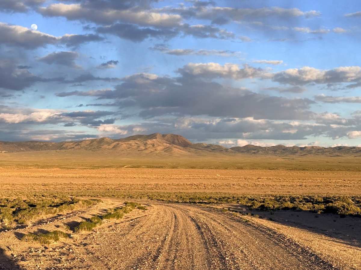
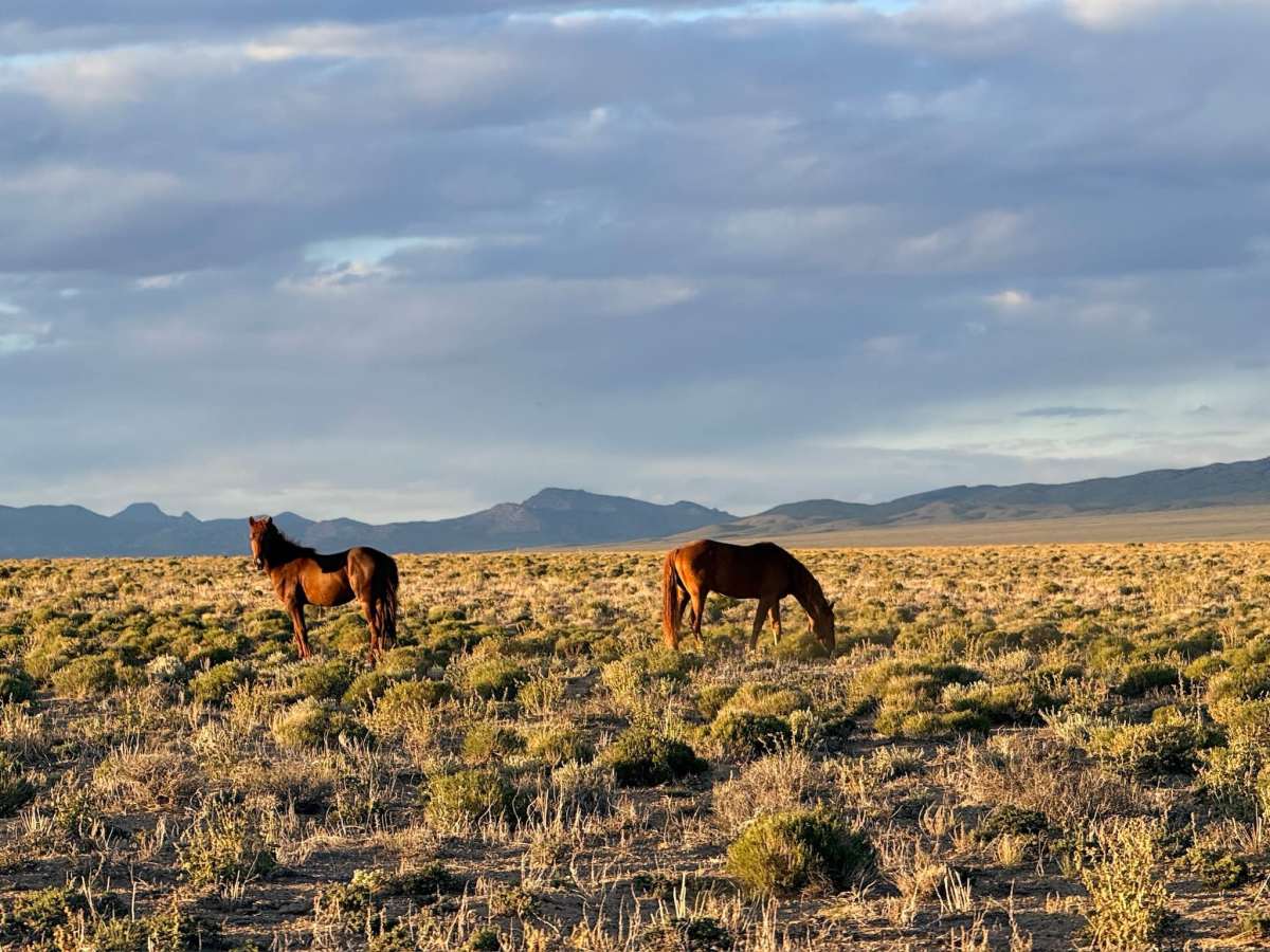
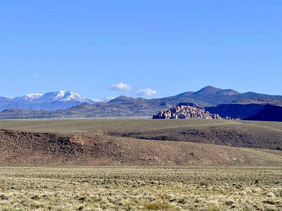
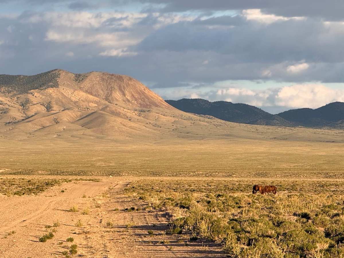
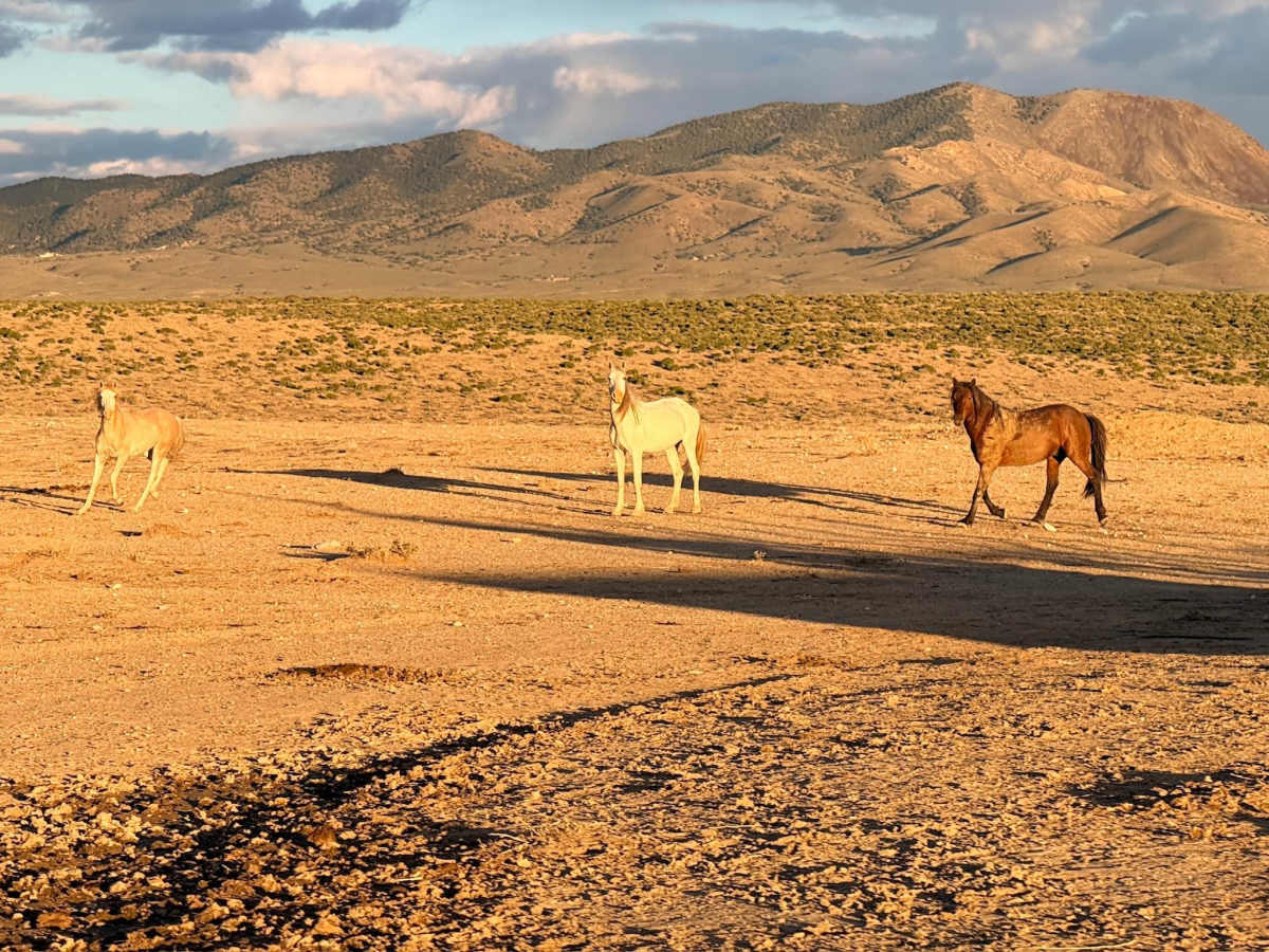
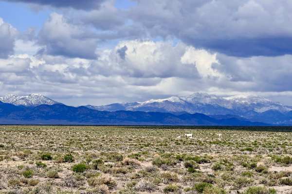
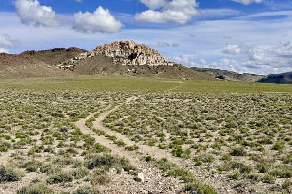
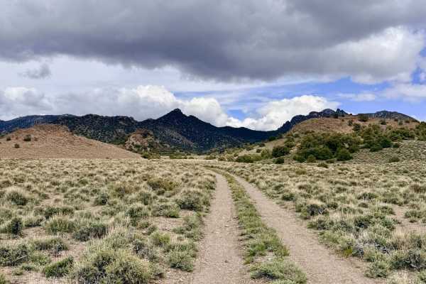
Warm Springs is a magnificent 25-mile backcountry journey that takes explorers through the diverse, rugged terrain of the Monitor Range. The trail begins in the sweeping high-desert basins, then climbs into the foothills and eventually deep into the mountainous interior. This route is one of the most reliable corridors for viewing Nevada's iconic bands of wild mustangs, Pronghorn Antelope, and free-roaming cattle. Approximately halfway through the trail, you will encounter the turn-off for the namesake of the trail: Saulsbury Warm Spring. While the water isn't "hot" in the traditional geothermal sense, its constant temperature prevents it from freezing in the winter and provides a refreshing, muddy-bottomed pool that is deep enough for a dip during the blistering summer months. The trail is an engaging mix of turns that rise and fall with the mountain contours. After cresting the range, the route descends into the eastern valley, terminating at Willow Creek Road, a major north-south artery for the interior Great Basin.
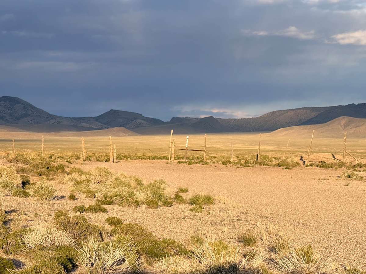
This is active cattle country. Please maintain a respectful distance and move slowly when passing livestock to minimize dust. Expect zero cell service for the duration of this 25-mile trek. The massive Monitor Range creates a complete signal dead zone. Download offline maps before leaving the Tonopah or Belmont area.
Difficulty
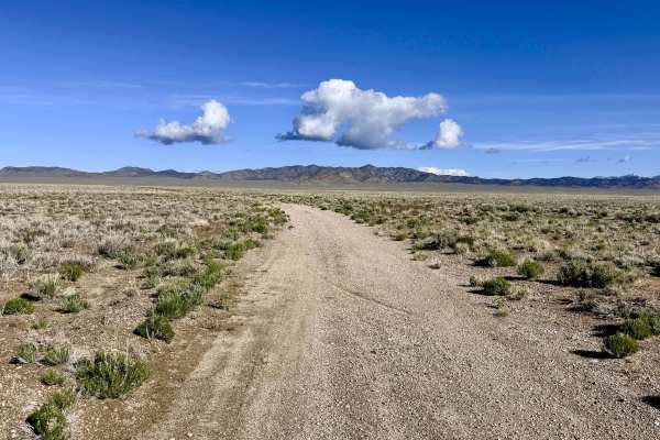
Rated a 2 for its generally well-graded surface. However, be aware that the track narrows significantly in the higher mountain passes. Some of the wash crossings have not seen recent maintenance and can be deeper and more abrupt than expected; approach these transitions with caution.