Trail Overview
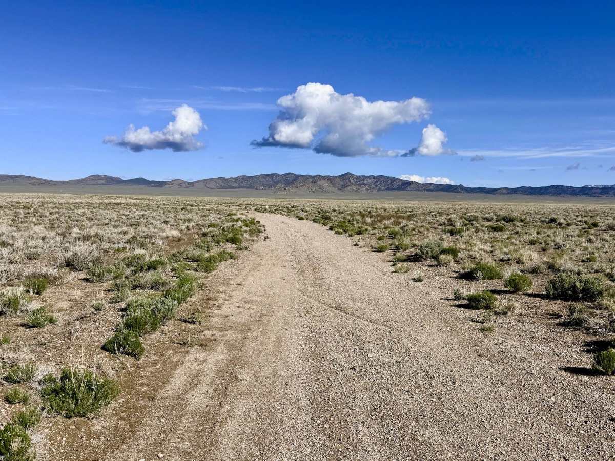
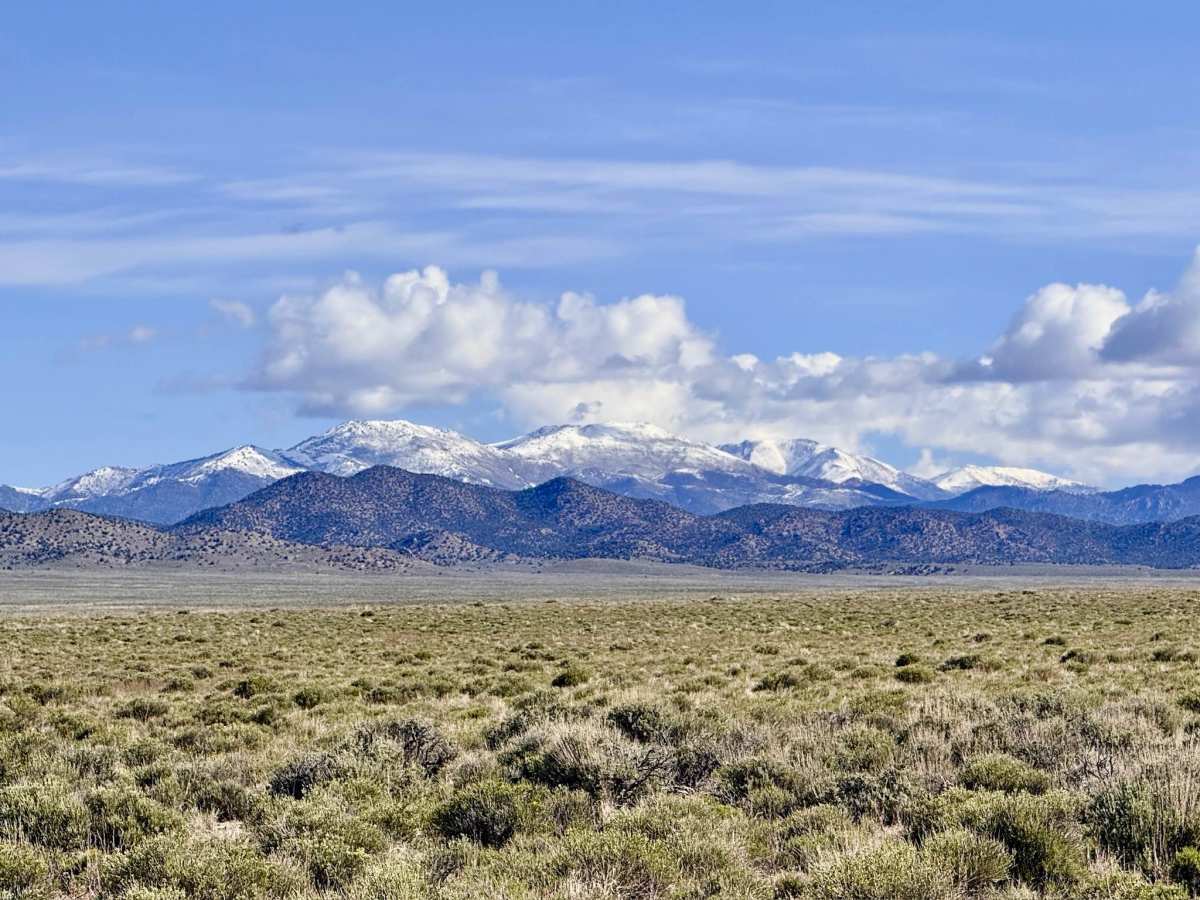
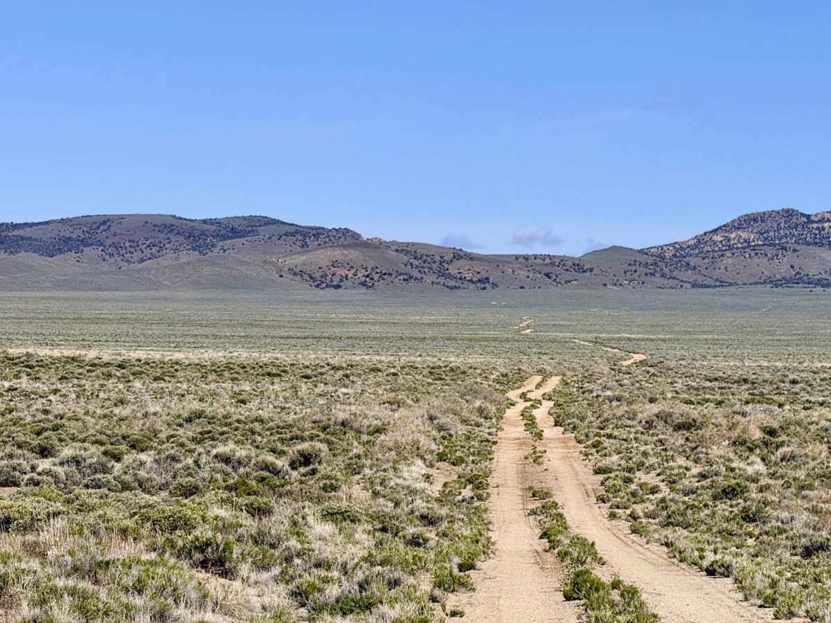
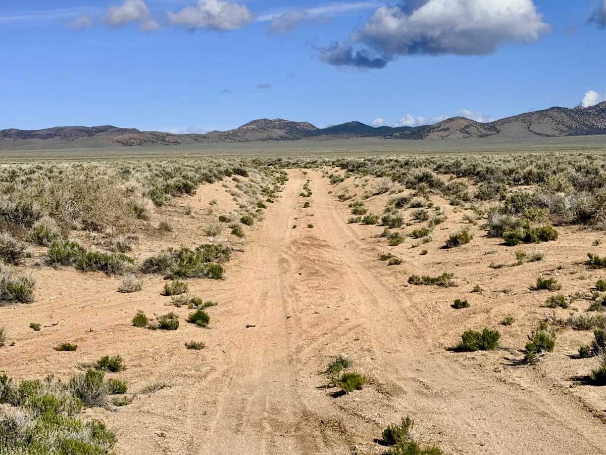
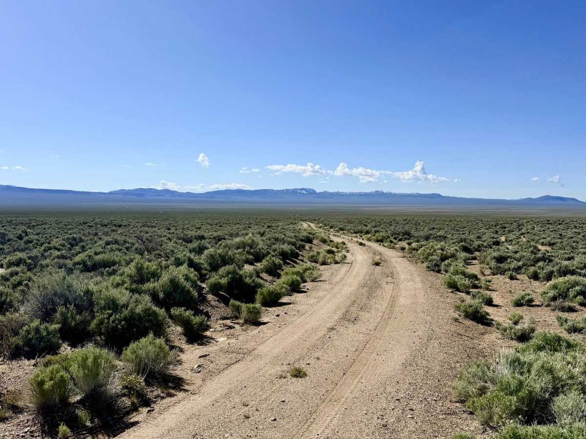
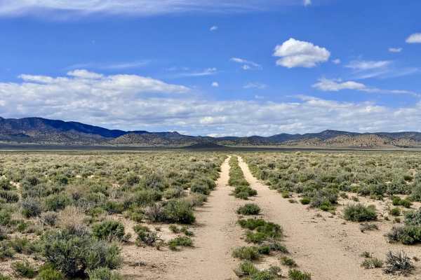
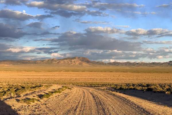
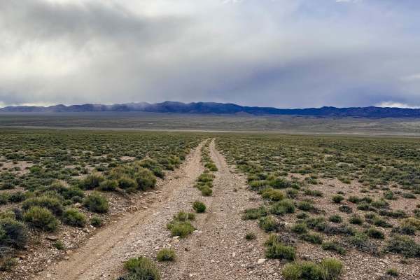
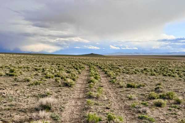
Baxter Spring is an engaging, visually diverse trail that offers a complete "valley-to-valley" traverse across the southern tip of the Toquima Range. The journey begins in an expansive "sagebrush sea" of the valley floor, where the road is wide, well-graded, and allows for a pleasant cruising speed. However, as the trail ascends into the mountainous interior, the environment shifts into a denser forest of Utah Juniper and Pinyon Pine. Driving becomes significantly more technical at higher elevations. The trail is characterized by sustained off-camber sections, many of which result from the track doubling as a natural drainage channel. You will navigate several drops and rises as the trail dips into and out of washes, requiring a focused eye for tire placement to manage the deep ruts. A major landmark on the southern slopes is Baxter Spring, a vital natural water source that creates a persistent mud hole and features established troughs for local livestock. As you descend the northern side of the range toward Highway 376, keep your camera ready for the unique and jagged rock formations that line the valley walls.
This is Open Range, and it is active cattle country. Expect zero cell service for the duration of this trail. The high ridges of the Toquima Range create a total signal shadow. Download offline maps before leaving the Tonopah area. This is remote, high-desert country. Carry at least one gallon of fresh water per person per day, extra fuel, and a full-sized spare tire.
History
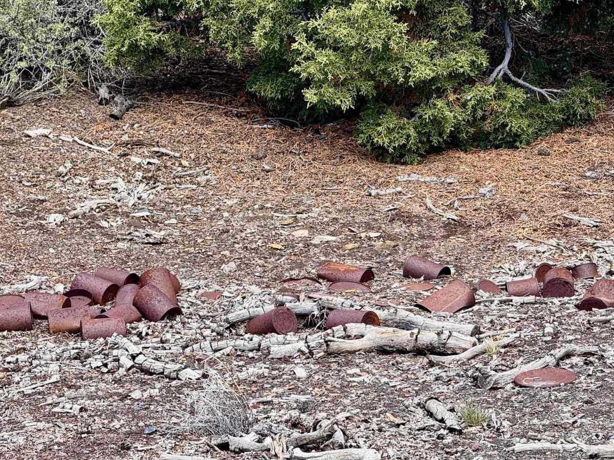
The Toquima Range has been the traditional territory of the Western Shoshone for millennia, and Baxter Spring likely served as a vital waypoint for Indigenous hunters long before European settlement. In the late 19th and early 20th centuries, these southern hills were part of the "overflow" from the massive Tonopah silver boom. Every reliable spring, like Baxter, became the focal point for a small homestead or a seasonal ranching camp that provided the beef and horses needed to keep the mining engines turning in the Big Smoky Valley.