Trail Overview
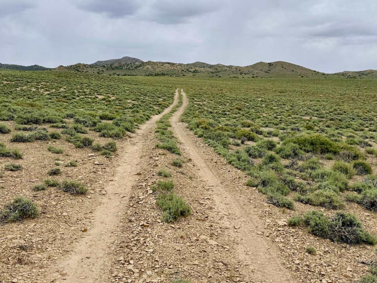
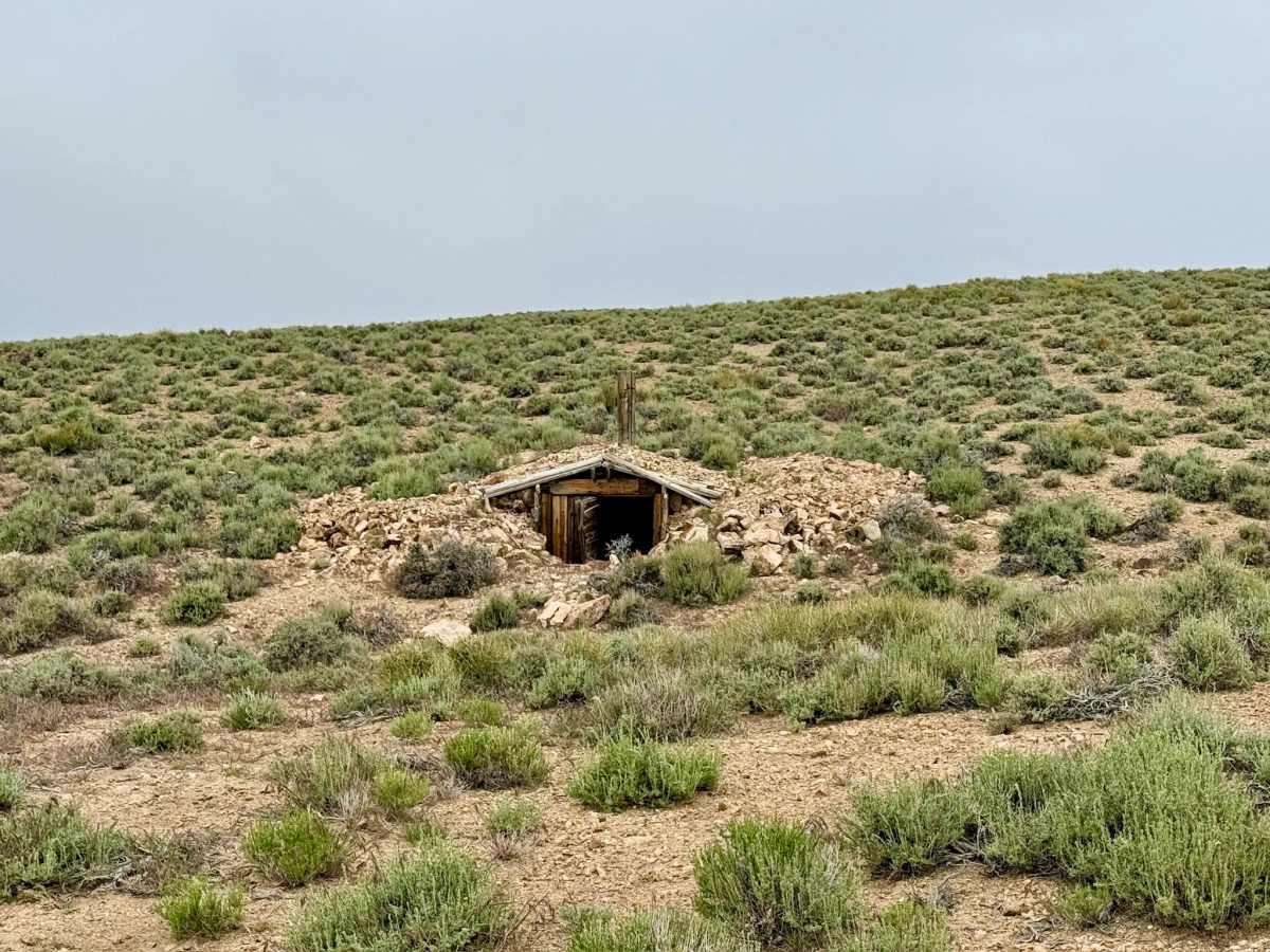
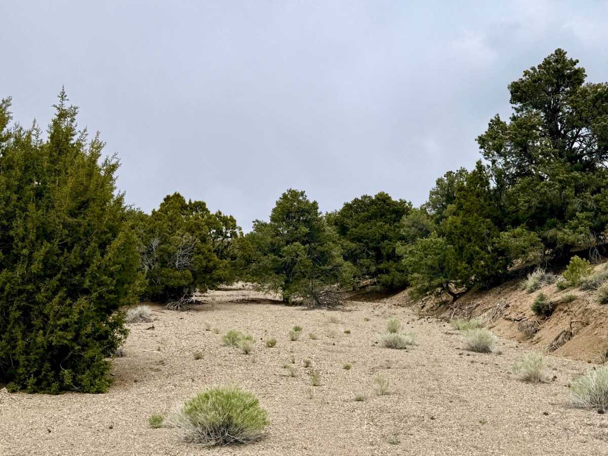
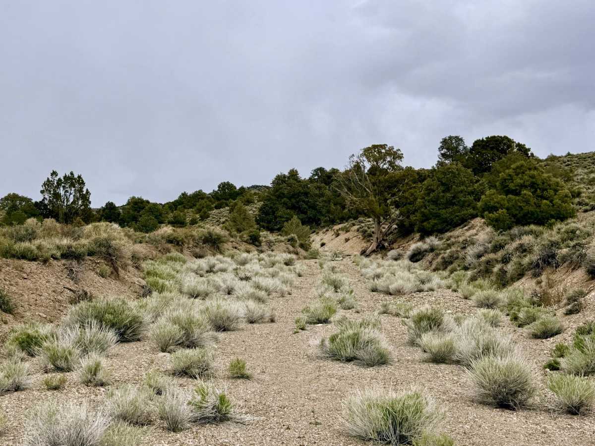
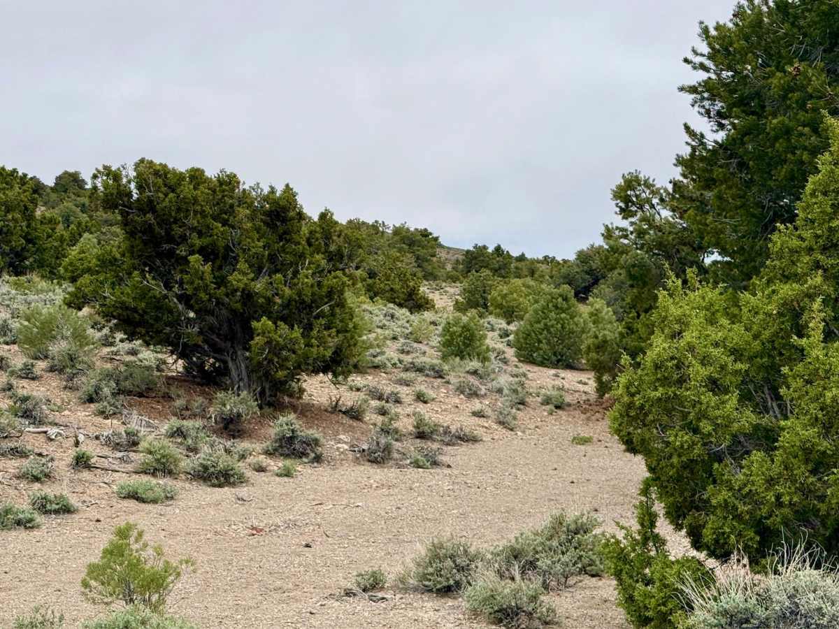
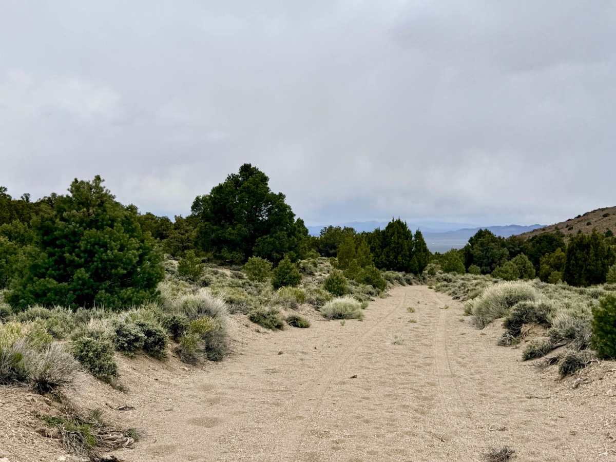
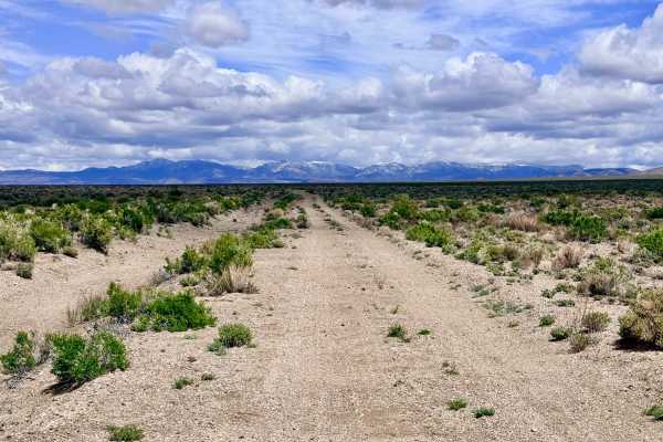
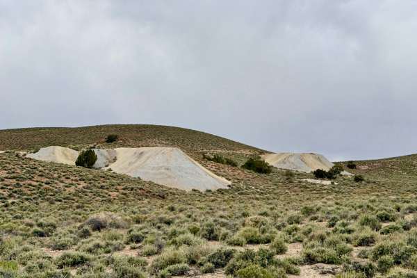
This expansive, scenic trail offers a quintessential Nevada "choose your own adventure" experience. Winding through the volcanic San Antonio Mountains, the route navigates a complex maze of two-tracks left behind by over a century of intensive mining. The terrain is remarkably varied: you will spend time traveling through long, soft sand washes that require a steady foot, before climbing onto rolling hills that offer panoramic views of the high-desert landscape. Along the way, the "ghosts" of the early 20th-century mining boom are everywhere, featuring abandoned structures, colorful tailings, and old foundations tucked into the hillsides. The western end of the trail offers a rare treat in the desert: the Robert Perchetti Memorial Sportsmans Park. Sponsored by the Rotary Club of Tonopah, this community gem features picnic benches, a small fly-fishing pond, pit toilets, and trash service. Making it an ideal staging point or a place to unwind after a day in the dirt. Drivers should note that the easternmost segment of the trail, which originally looped south to reach Cedar Corral Spring, is completely overgrown and impassable. It is highly recommended to link up with the Parrotte Springs Trail to complete your loop and continue your mountain exploration.
You may encounter cattle in this area. Please yield the right-of-way and move slowly. You will find some service at the western end near Highway 376, but the eastern half is a complete dead zone. Download your offline maps before heading out.
Difficulty
Rated a 3 primarily due to the long sections of soft sand in the washes and several steep transitions where the trail enters and exits the drainage. Airing down your tires will significantly improve flotation and ride quality in the sandy stretches. Be prepared for "side-by-side chop" and washboarding in the more heavily traveled sections near the Sportsmans Park.
History
Cedar Corral Spring was a prized water source for the teams of horses and mules that hauled ore and timber. Today, the area has transitioned from a hard-working industrial zone to a landscape prized for recreation and the preservation of its rugged history.

 Offroad