Trail Overview
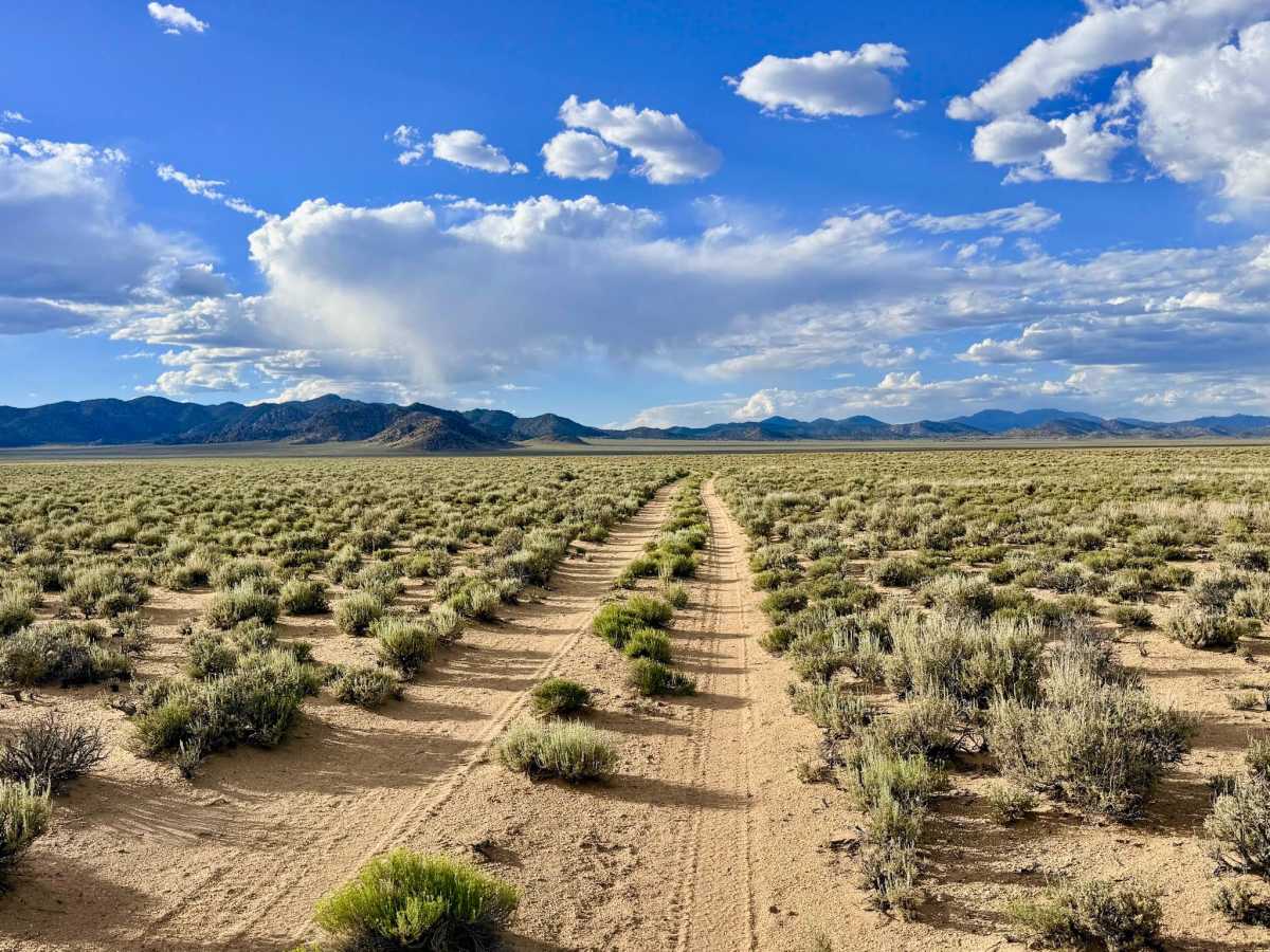
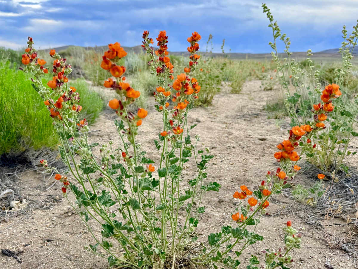
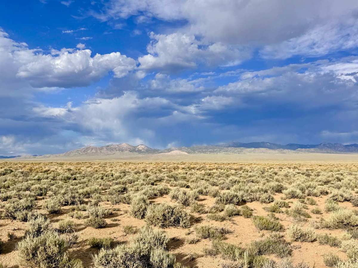
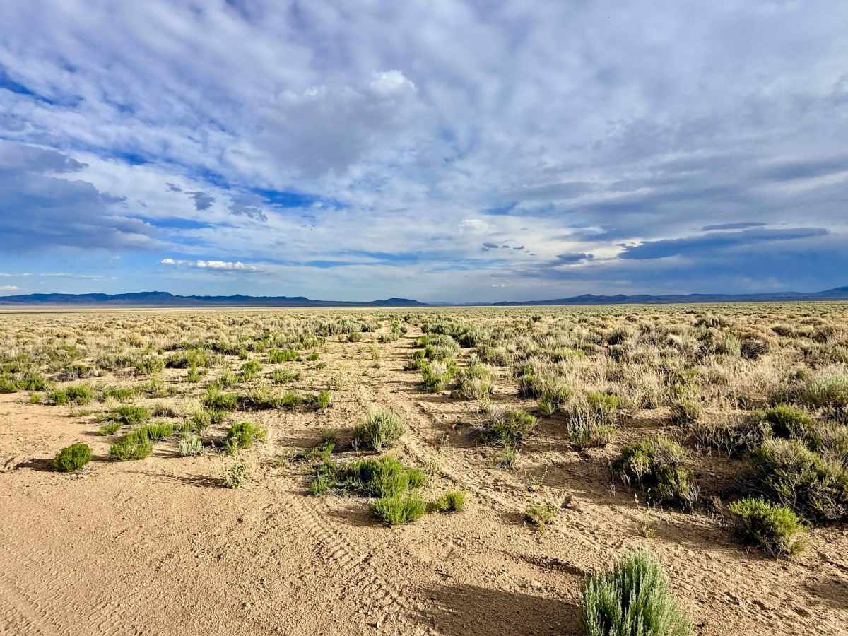
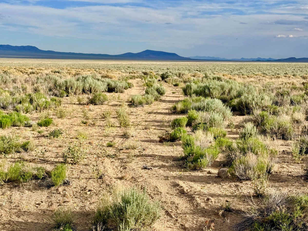
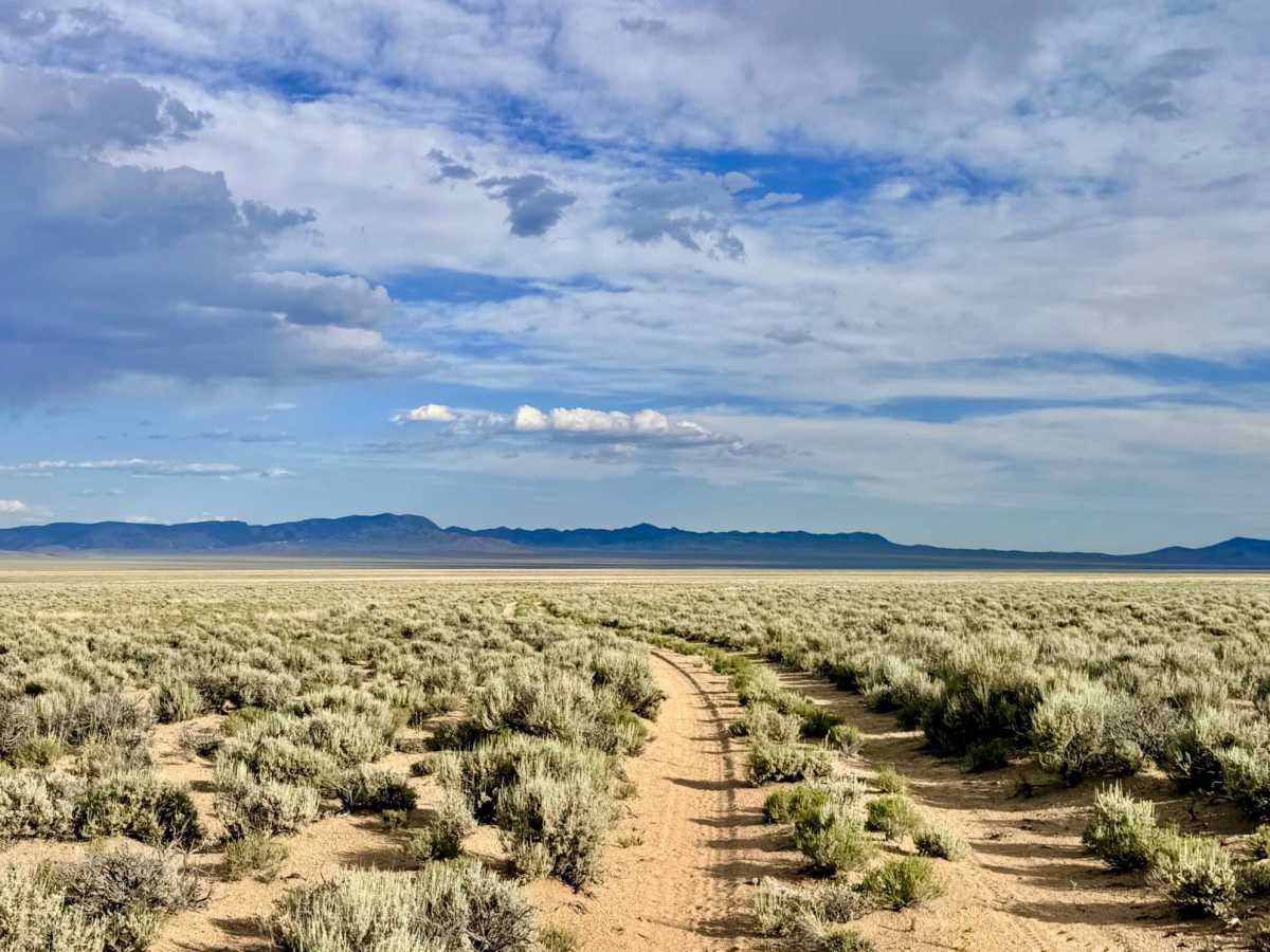
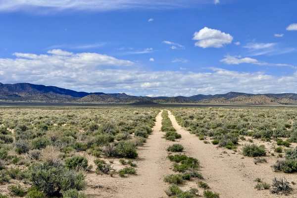
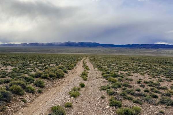
This is a classic high-desert two-track that invites you to roll down the windows, turn up the music, and simply cruise through the heart of the "sagebrush sea." The route is characterized by its rhythmic flow across the valley floor, featuring the iconic "desert mohawk" a line of hardy shrubs growing right down the center of the track. The visual reward of this trail is the staggering 360-degree perspective. Positioned in the center of a vast basin, the trail offers spectacular, unobstructed views of the surrounding mountain ranges. On a day with dramatic cloud cover, the play of light across the desert floor is world-class. In the early spring and late summer, keep an eye out for "pops" of yellow wildflowers that stubbornly cling to life among the silver-green sagebrush. While the basin location makes Pronghorn Antelope sightings a bit rarer than in the foothills, they are still known to traverse this corridor, so keep your binoculars handy. Unusually for the deep desert, you may pick up two bars of LTE service on this route due to its line-of-sight proximity to Tonopah. However, signals can still be blocked by the slight undulations of the valley floor. Download offline maps before heading out.
Difficulty
Rated a 2 for its generally easy and smooth surface. The trail consists of two well-worn tracks with mature desert brush in the middle. Drivers of vehicles with low-hanging components (like plastic splash guards) should be mindful of the center-track shrubs. There are one or two very slight off-camber transitions where the trail crosses minor natural drainages.