Trail Overview
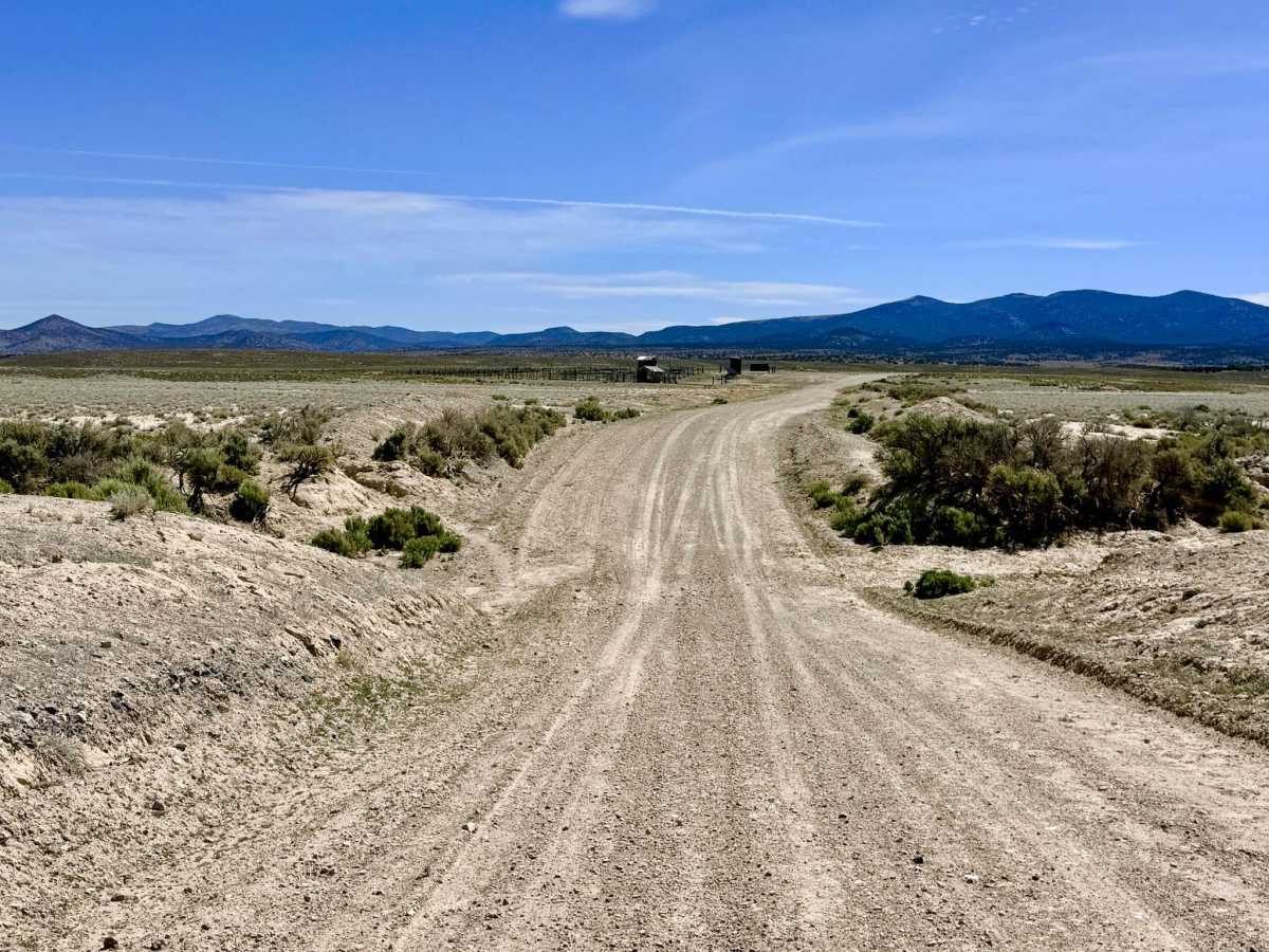
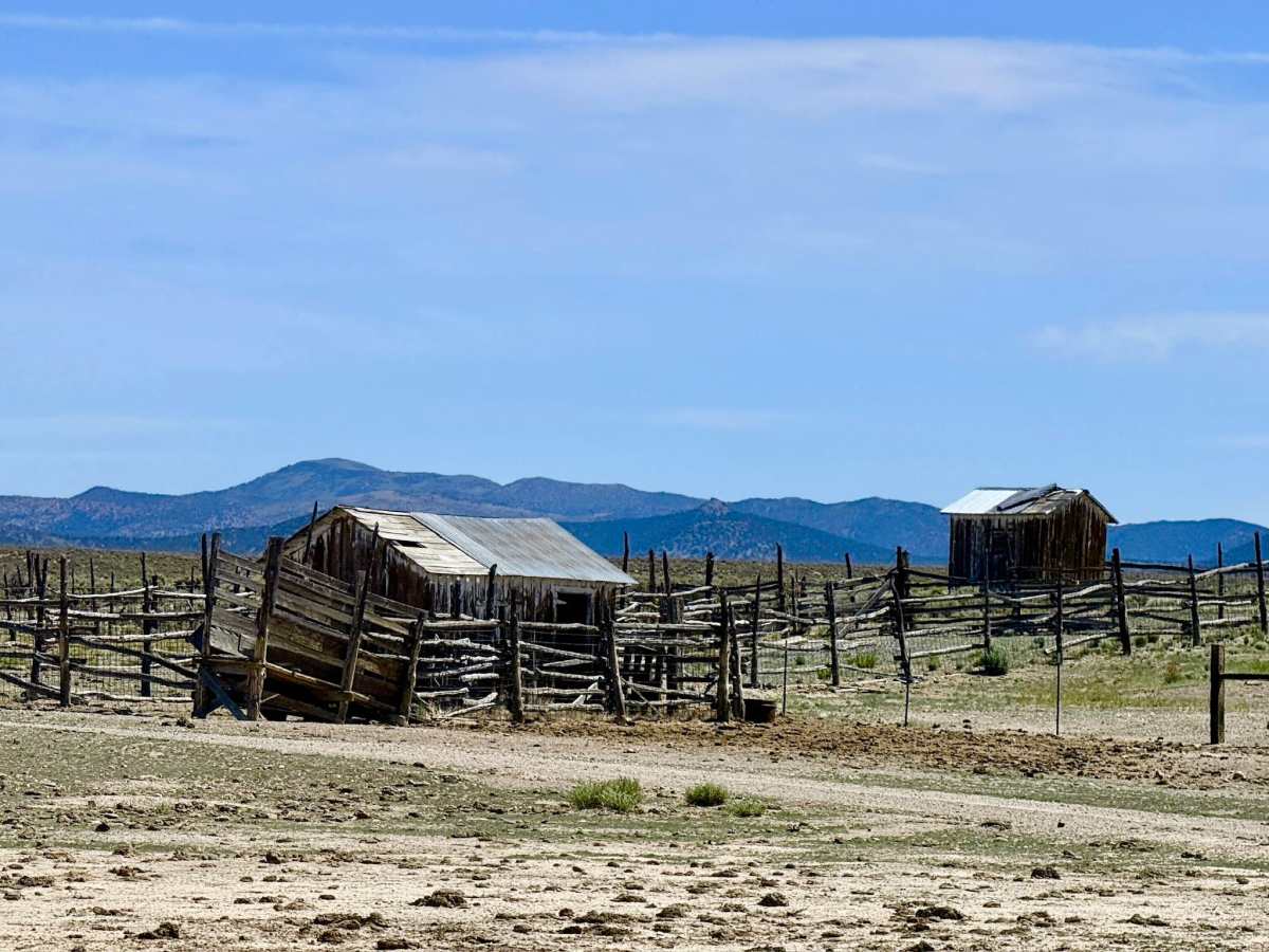
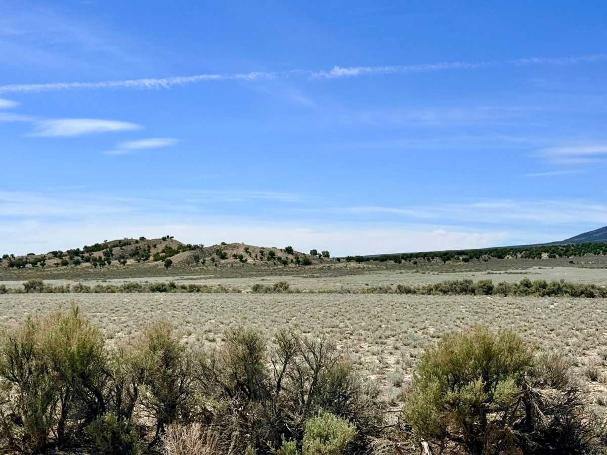
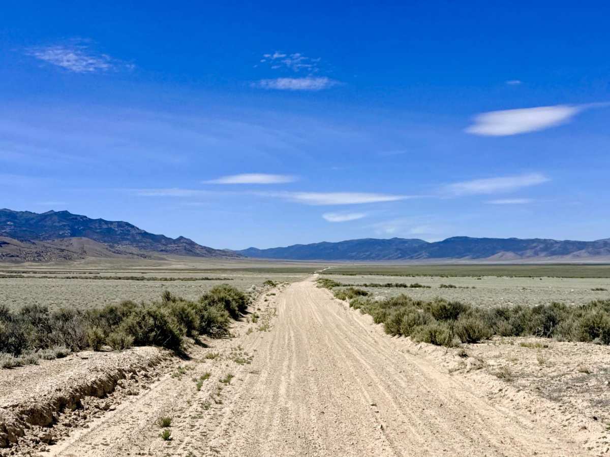
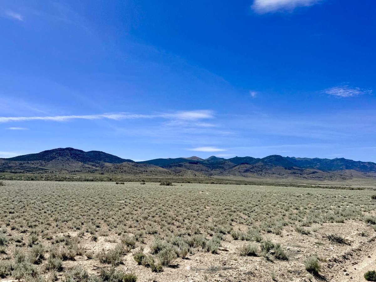
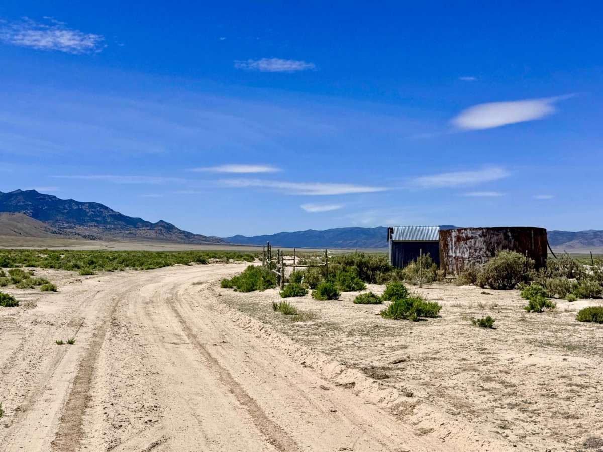
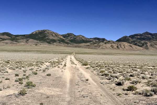
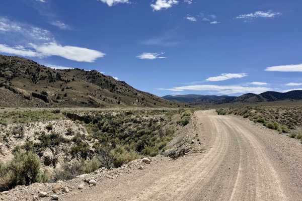
North Antelope Valley Road is a quintessential "Basin and Range" route, tracking along the eastern edge of the sprawling Antelope Valley. This trail provides a magnificent visual experience; if you are heading south, you are flanked by the rising foothills of the Antelope Range to your left and the towering peaks of the Monitor Range to your right. The trail starts broad and wide at its northern intersection before gradually narrowing into an intimate two-track as it pushes into the southern reaches of the valley. The drive is generally easy and smooth, but it requires a focused eye as the terrain shifts. As you move out of the wide-open valley floor, you will navigate technical segments with established ruts and several corners characterized by loose, sandy soil that can test your traction. True to the valley’s namesake, this is a premier wildlife corridor; keep your binoculars ready to spot Pronghorn Antelope silhouetted against the mountains. As the road narrows in the south, keep an eye out for numerous two-track offshoots branching to the east; these spurs lead into the rugged foothills toward small, secluded springs, offering a world of exploration for those willing to venture off the main path. This is active ranching and grazing land. Be especially alert for a unique hazard: a crossing that appears to be a standard cattle guard but is actually a permanent wire fence. You must use the functional cattle gate located immediately to the west of this fence. Please leave all gates exactly as you found them (closed means closed) to assist local ranchers. Expect zero cell service for the duration of this trail. The vast basin floor and nearby mountain ranges create a total signal shadow. Download offline maps before leaving the Tonopah or Highway 50 area.
Difficulty
Rated a 2 for its easy grade, but drivers should be wary of the loose and sandy corners in the southern section. The southern half is a narrow two-track. Be prepared to use the shoulders or natural clearings to allow oncoming traffic to pass safely. This trail consists of fine alkaline silts and shows clear evidence of becoming completely impassable when wet. Avoid this route during heavy rain or spring snowmelt to prevent getting stuck in the "gumbo" mud.
History
The Antelope Valley has served as a vital agricultural corridor for over 150 years. In the late 19th century, this specific eastern side of the valley was a flurry of activity as ranchers sought to harness the small springs in the Antelope Range foothills. These water sources were the only reason livestock could survive the harsh Great Basin climate while providing beef for the booming silver mines in Eureka and Austin. The "sand-and-silt" tracks you drive today follow the same historical supply lines that once hummed with the sound of freight wagons and the first motorized ranching vehicles of the early 1900s.

 Offroad