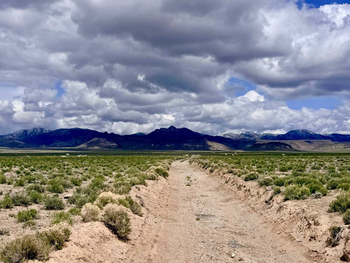
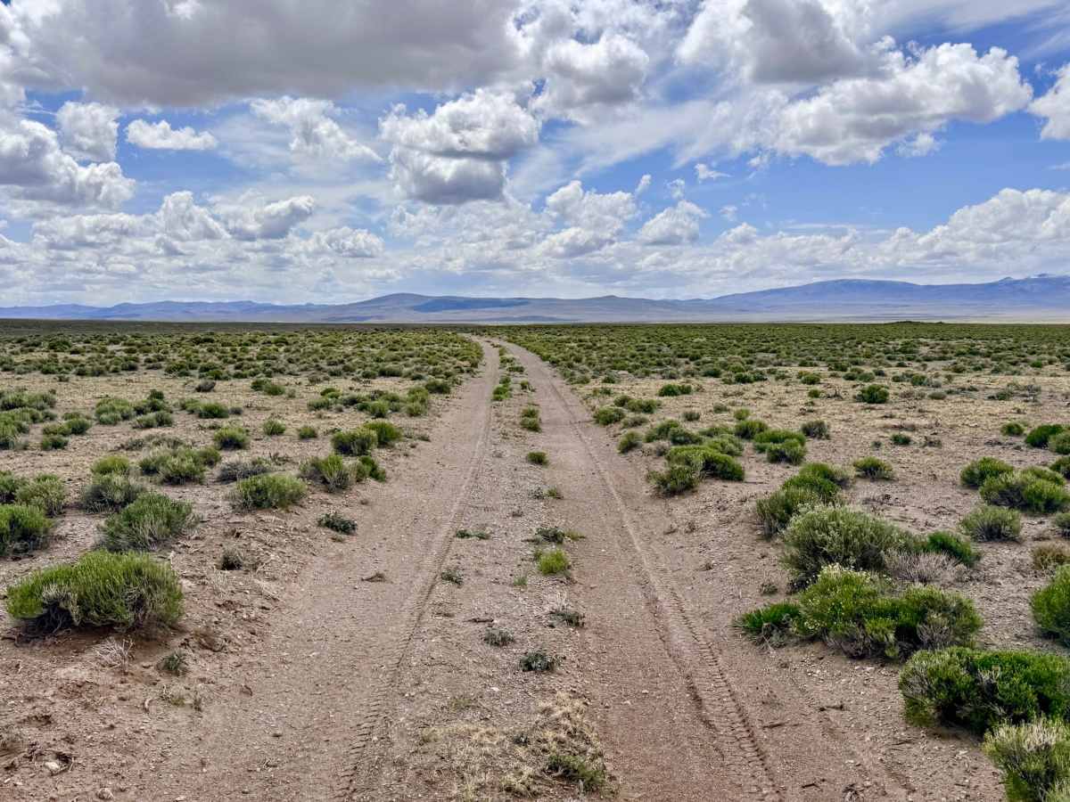
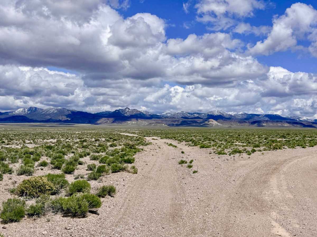
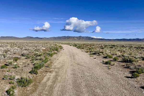
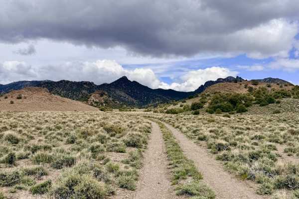
Trail Overview
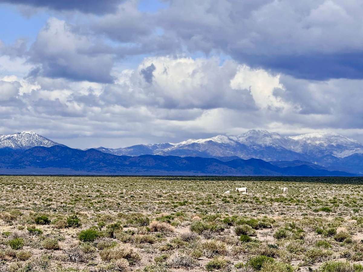
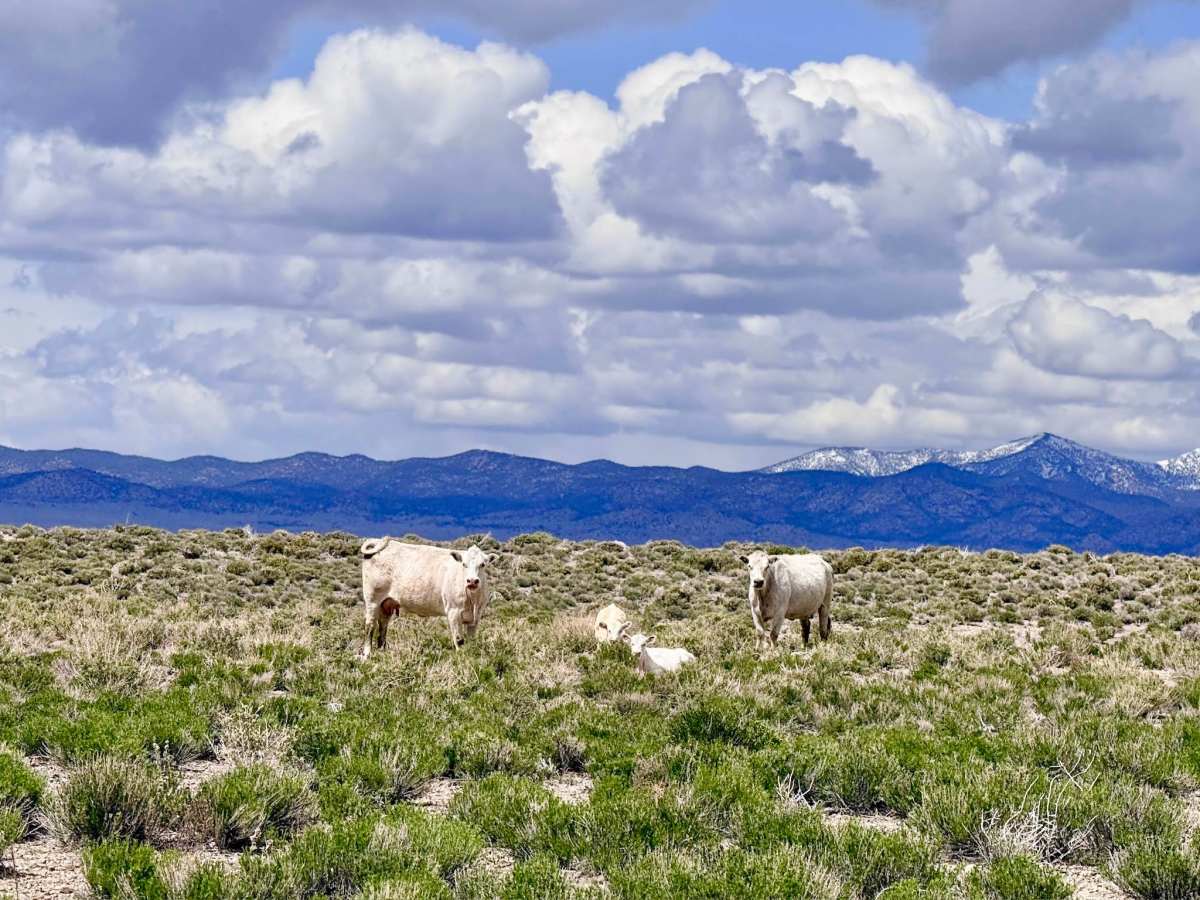
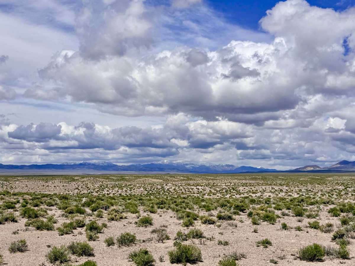
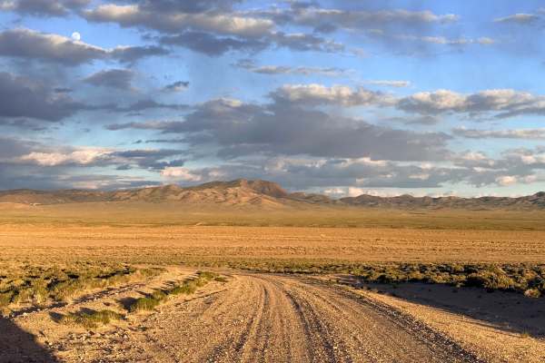
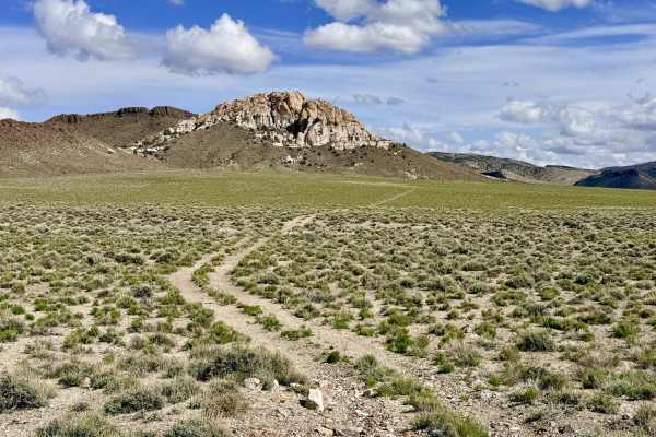
The NFD 127 trail is an engaging and ever-changing route that transitions explorers from the expansive valley floor into the rugged, high-desert foothills. This trail serves as a critical access point to the region’s deeper trail systems, providing links to the Boundary Trail (a scenic motorized out-and-back into the National Forest) and the legendary Big White Sage Trail, which winds for miles through the hills before emerging near the historic ghost town of Belmont. As you ascend toward the foothills, the landscape becomes a showcase of the unique geology of the Great Basin. A major highlight is Pink Butte to the east; its distinct coloration and jagged rock formations stand in sharp contrast to the surrounding gray and tan peaks. The area is teeming with life; you are likely to see unique white cattle grazing in the clearings, and if you’re quick with your binoculars, you can catch herds of Pronghorn Antelope as they sprint across the flats in the opposite direction. While the trail is generally in decent shape, drivers should remain focused as the terrain shifts between hard-packed dirt, short sandy sections, and technical wash transitions.
Expect only one bar of unusable cell service. The signals from Tonopah are effectively blocked by the rising foothills. Download offline maps before leaving town. This is remote, high-desert country. Travel with at least one gallon of water per person per day, extra fuel, and a full-sized spare tire.
Difficulty
While rated a 2 for much of its length, NFD 127 earns a 3 due to unexpected washouts and steep entry/exit angles where the trail crosses dry washes. Several short sandy stretches require maintaining steady momentum to navigate safely.