Trail Overview
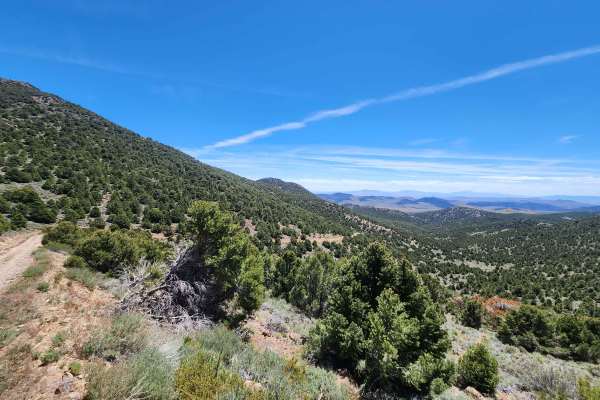
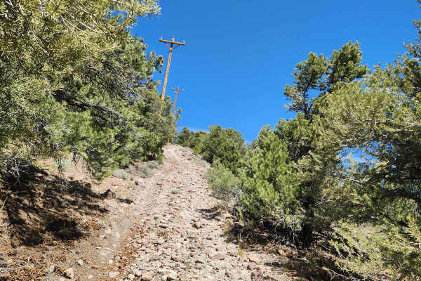
The Historical and Petroglyph trail is an easy-going, 22.6-mile desert route near Fallon, Nevada, perfect for beginners and history buffs looking to explore ancient rock art and pioneer history. Originally surveyed in 1859 by Captain J.H. Simpson and later utilized by the Pony Express, this flat, Bureau of Land Management maintained trail offers a smooth journey through the Lahontan Valley. Sitting at an elevation between 4,160 and 4,360 feet, the route features minimal elevation gain, making it highly accessible to standard four-wheel-drive vehicles, high-clearance rigs, and most stock SUVs. The primary surface consists of well-graded dirt and gravel, though occasional sandy stretches require drivers to maintain a steady momentum to avoid sinking.
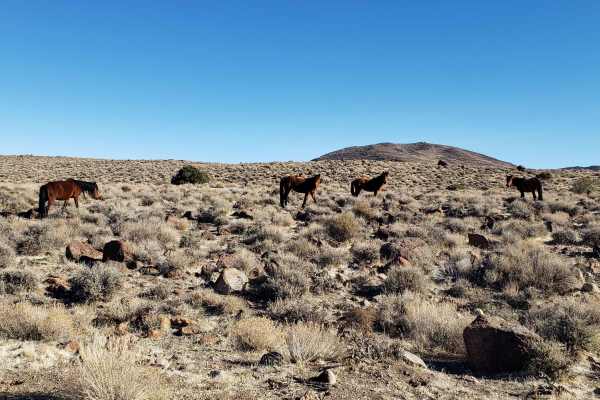
Travelers along this historic corridor will navigate through wide-open desert vistas with minimal technical obstacles, earning the trail a low technical difficulty rating of 2. While the road is generally well-maintained, drivers should remain alert for washboards, seasonal ruts, and changing weather conditions that can quickly turn the desert clay slick when wet. The route culminates near significant cultural sites featuring prehistoric petroglyphs, offering an excellent opportunity to step out of the vehicle and appreciate the ancient rock carvings left by the region's early inhabitants. When planning a trip, always carry plenty of water and sun protection, as the trail is entirely exposed with no natural shade.
History
The route follows a historic wagon trail surveyed in 1859 by Captain J.H. Simpson and was subsequently utilized by the Pony Express.
Access Description
The Bureau of Land Management manages this trail. No fees or permits are required. Avoid touching, defacing, or climbing on the prehistoric petroglyphs to protect these sensitive cultural resources. Pack out all trash and practice Leave No Trace principles.




 Offroad