Trail Overview
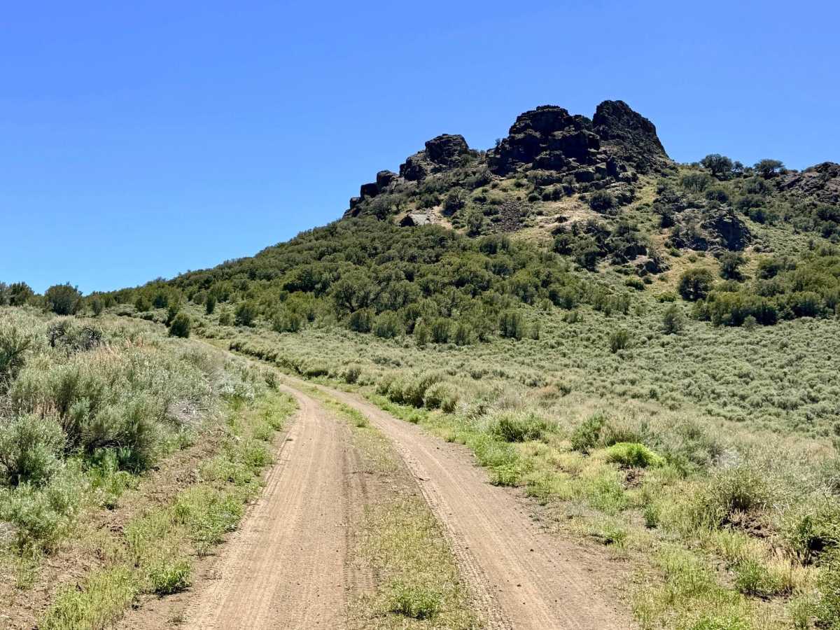
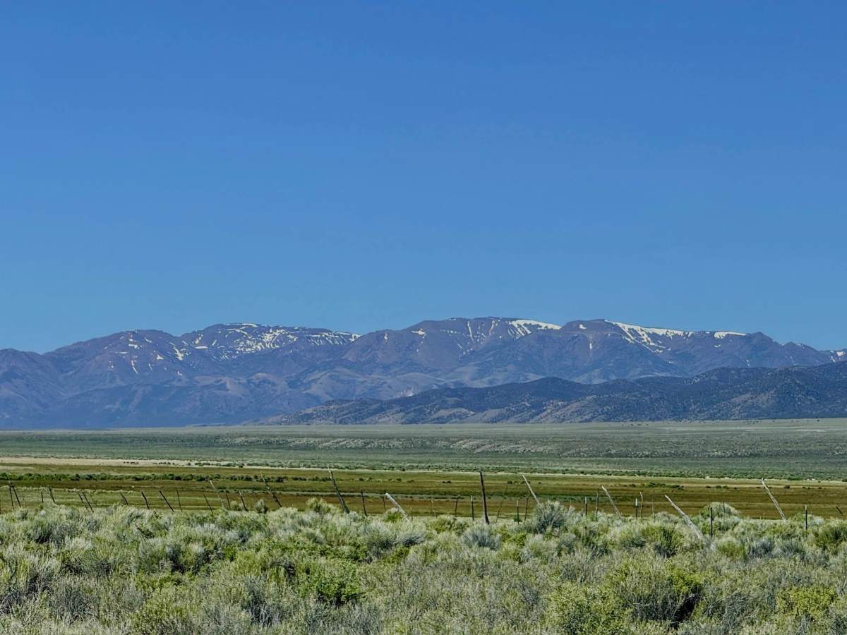
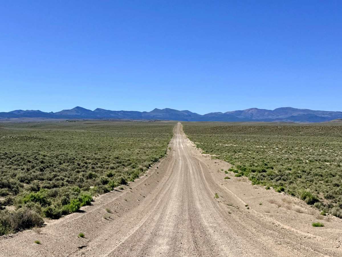
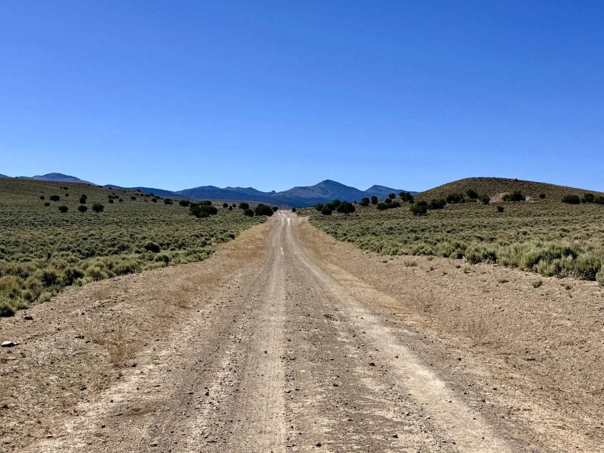
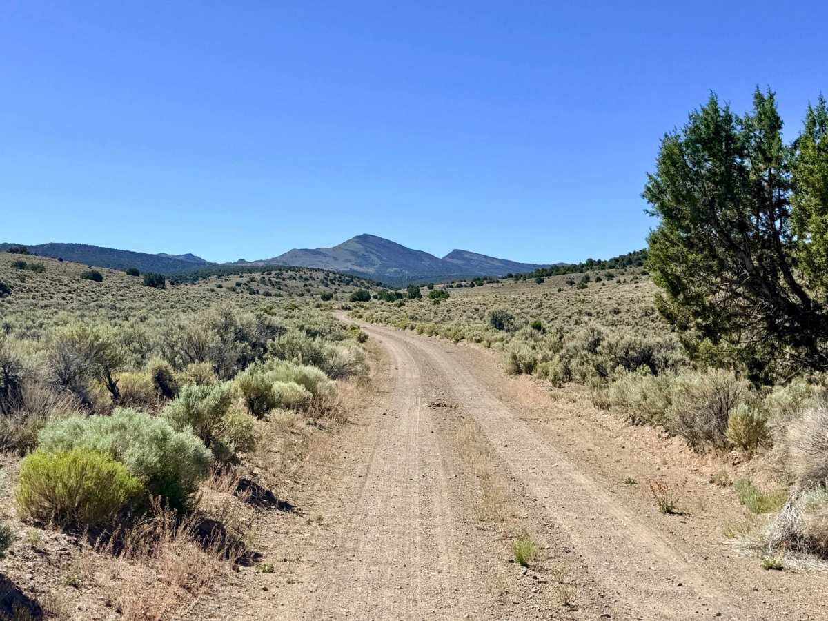
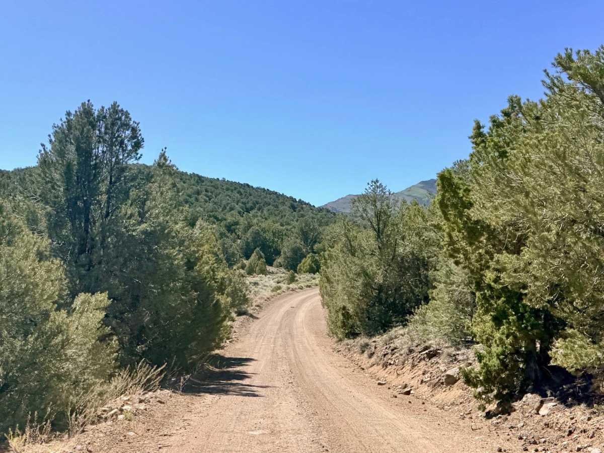
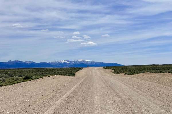
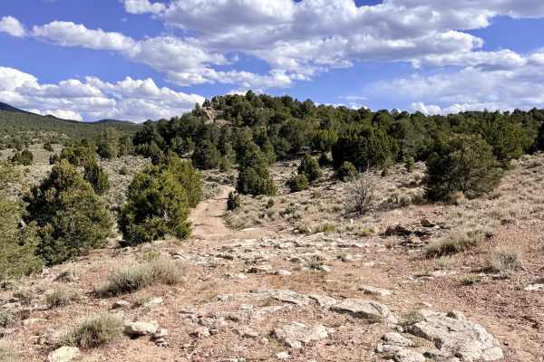
Dobbin Summit is a magnificent long mountain traverse that offers a quintessential "sky island" experience, carrying explorers across the rugged spine of the Monitor Range. The journey begins in the expansive "sagebrush sea" of the Monitor Valley. As you head east, you are treated to breathtaking views as the towering Monitor peaks rise ahead of you, while the Toquima Range provides a dramatic backdrop to the west. The first segment is a smooth, well-graded two-track that allows for a steady pace. As you gain altitude, the wide-open basins give way to a dense, fragrant forest of pinyon pine and mountain mahogany. The trail twists through these higher elevations, eventually emerging into spectacular high-altitude meadows. The highlight of the route is cresting Dobbin Summit at an impressive 8,666 feet. This area is a stronghold for Nevada’s most iconic wildlife: large bands of wild mustangs, pronghorn antelope, and mule deer. In the springtime, the trail is a botanical treasure, featuring a diverse array of wildflowers that shift in species as you move from the valley floor to the alpine summit. This is a premier route for dispersed camping. Numerous offshoot trails lead to secluded clearings, and there is a convenient campsite located directly at Dobbin Summit for those seeking a high-altitude night under the stars. This is active grazing land. Livestock frequently congregate near the cattle guards or stand in the middle of the track over blind rises. Yield to all cattle and move slowly to avoid startling them. Expect zero cell service along this trail, as the massive ridges of the Monitor Range create a total dead zone. Download offline maps before leaving the Tonopah or Austin areas.
History
The name "Dobbin" is a classic pioneer term for a dependable workhorse, a fitting tribute to the animals that first carved this path through the range. In the 1870s and 1880s, high passes like this were the lifelines for the Belmont-Eureka freight lines. While the heavy wagons took the lower routes, these high summits were used by "buckaroos" and scouts moving between the productive valley floors. This trail follows the same historical logic: finding the most efficient saddle to bridge the gap between the rare water sources of the Monitor and Little Fish Lake Valleys.