Trail Overview
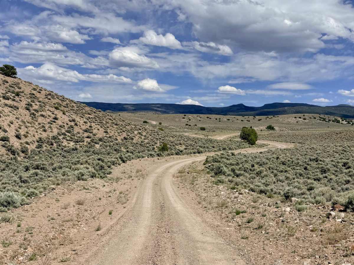
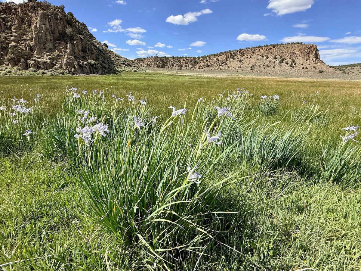
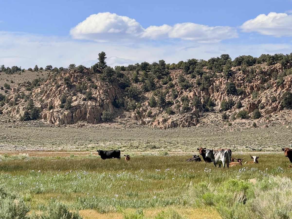
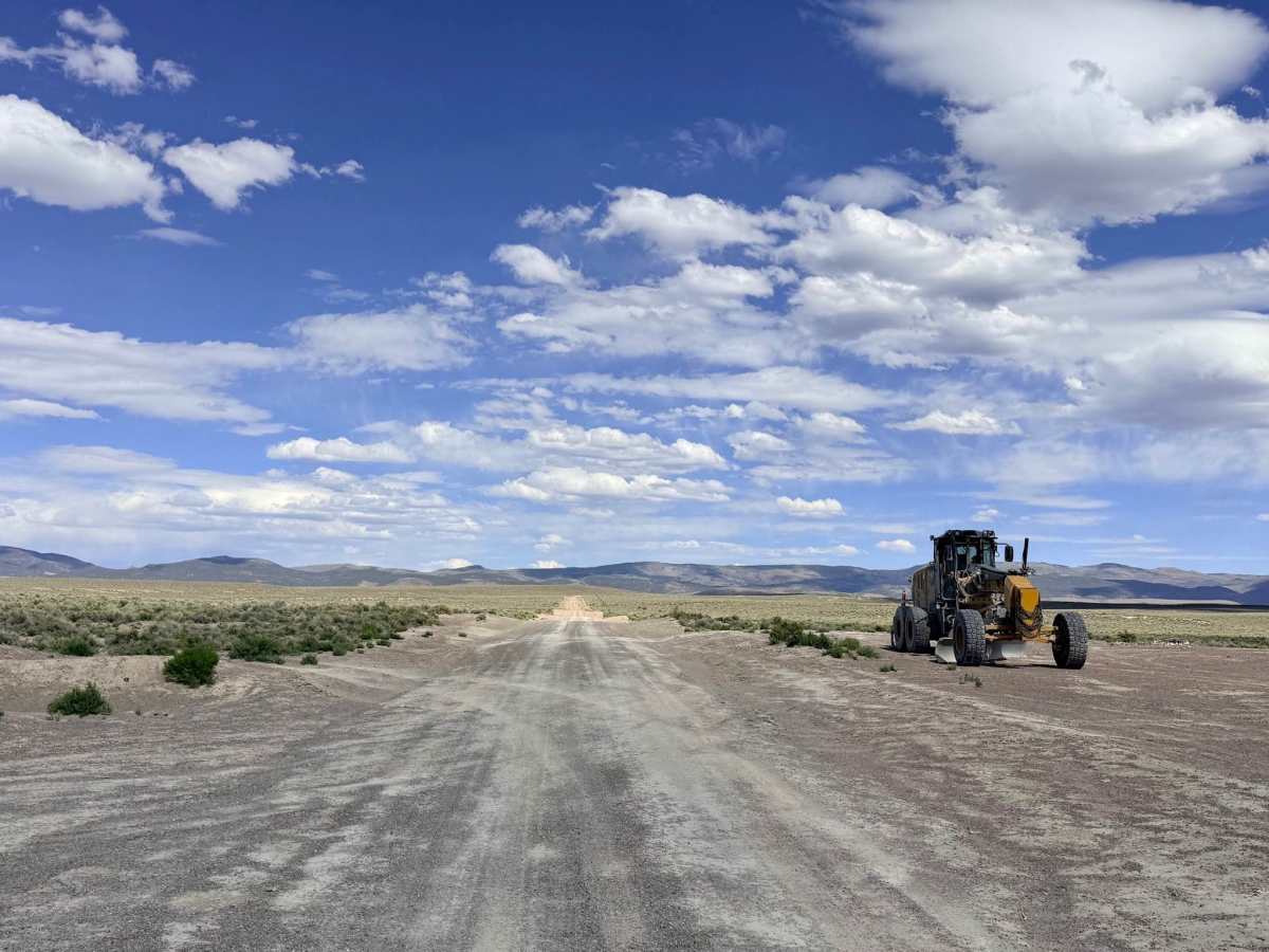
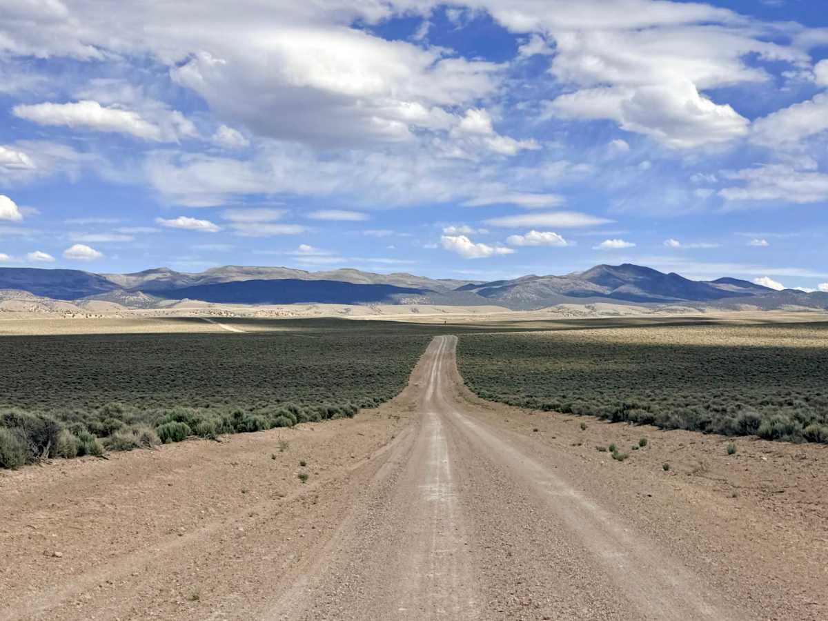
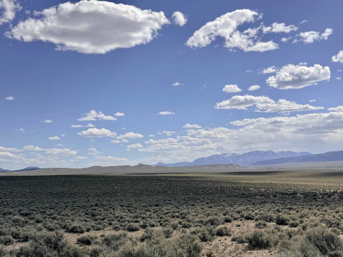
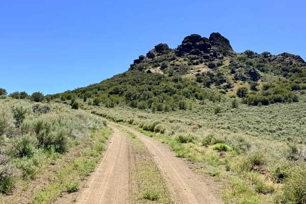
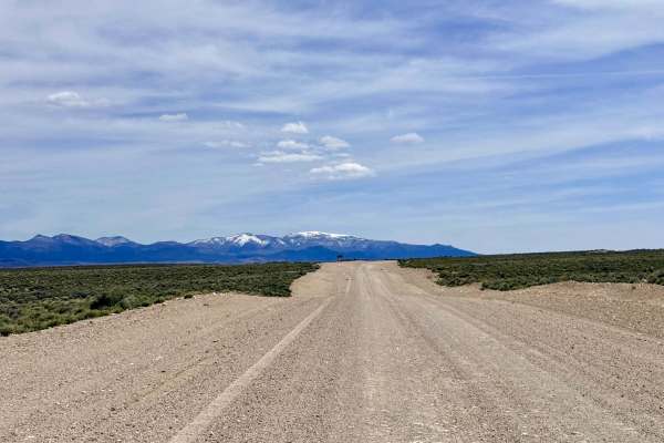
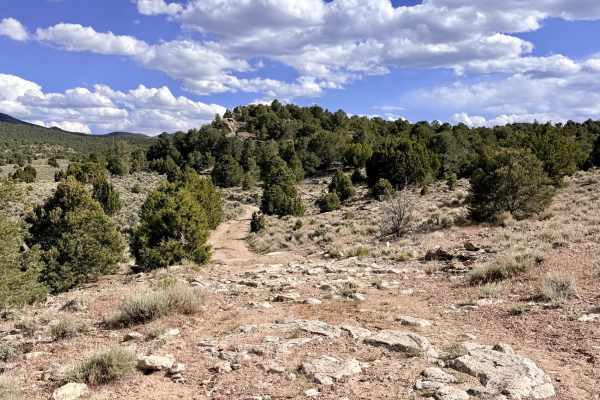
Butler Creek is a trail of two distinct characters. The journey begins on the valley floor, where the road is exceptionally well-graded and open, offering an easy, unassuming start to the trip. While the lower sections offer a fast-paced transit through the sagebrush. As you enter the mouth of Butler Canyon, the trail narrows significantly, hugging the contours of the rugged canyon walls. This transition carries you into a breathtaking alpine meadow, a lush oasis of vibrant green grass that stands in stark contrast to the arid plains below. Here, the landscape is framed by outstanding vertical rock formations and towering cliff faces. You are likely to find cattle grazing peacefully in this serene setting, making it a quintessential example of Nevada’s "working wilderness." The trail appears to provide through access to the private Bruce Estes property. Please stay on the established Forest Service track, maintain a slow and respectful speed to minimize dust, and do not trespass or camp on private land. This area is active ranching land. You will encounter several cattle gates as you approach the meadow and the private property boundary. It is mandatory to leave all gates exactly as you found them (closed means closed). Please respect the clearly posted signs to ensure livestock remain in their designated areas. A few small, flat clearings exist in the lower sections of the trail for dispersed camping, but the highlight remains the scenic views within the canyon itself. Expect zero cell service for the duration of this trail. The canyon walls create a total signal shadow. Download offline maps before leaving Austin or the Highway 50 corridor.
History
The "Butler" name is a pillar of Central Nevada history, most famously associated with Jim Butler, the man who discovered silver in Tonopah in 1900. Throughout the late 19th century, canyons with reliable moisture like Butler Creek were the most prized allotments in the territory. These meadows provided the essential "summer range" where cattle could thrive while the valley floors were scorched by the sun. The stone ruins and ancient fence lines found in these foothills are silent monuments to the 150-year-old ranching traditions that built the state of Nevada.

 Offroad