Trail Overview
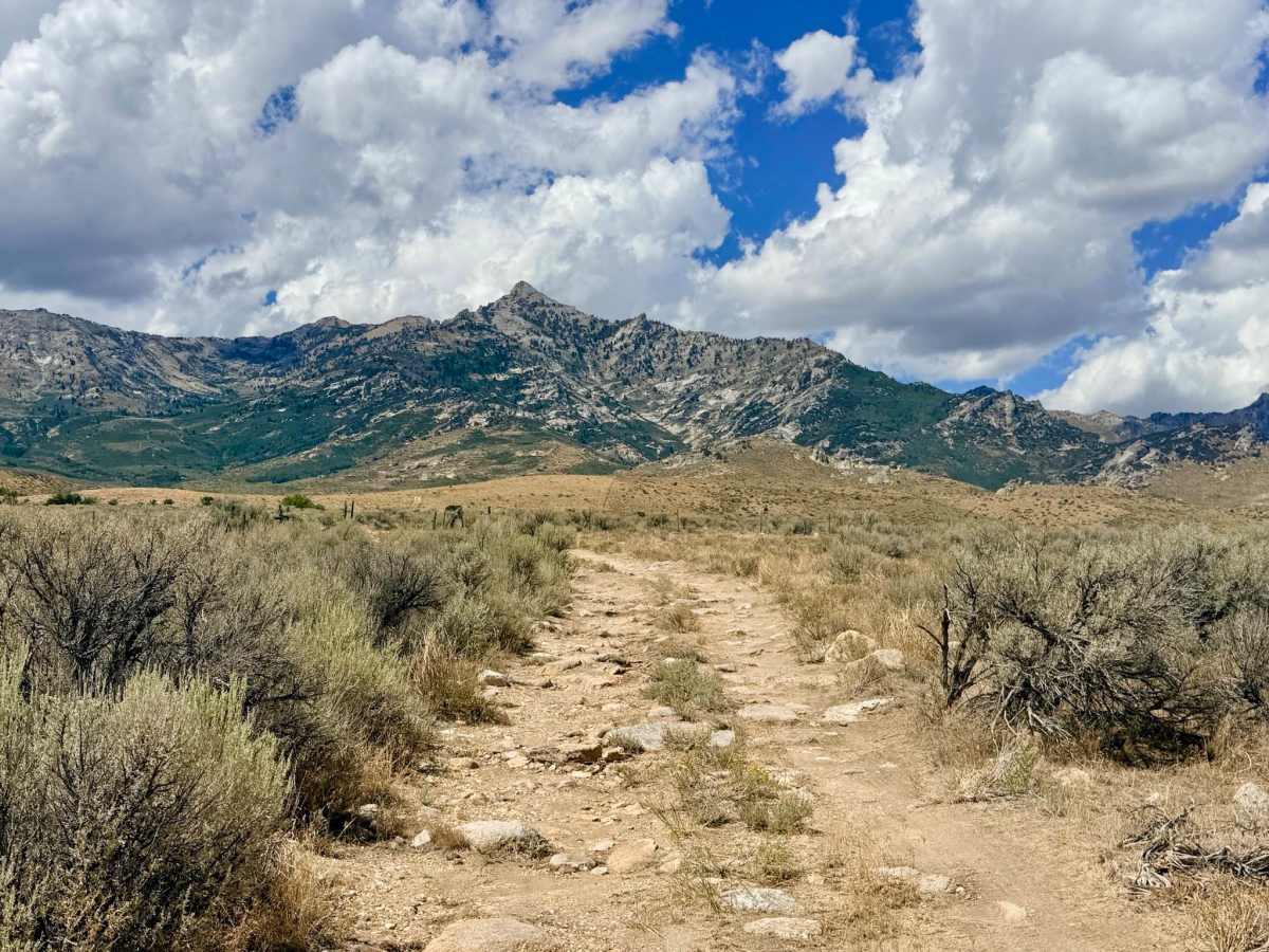
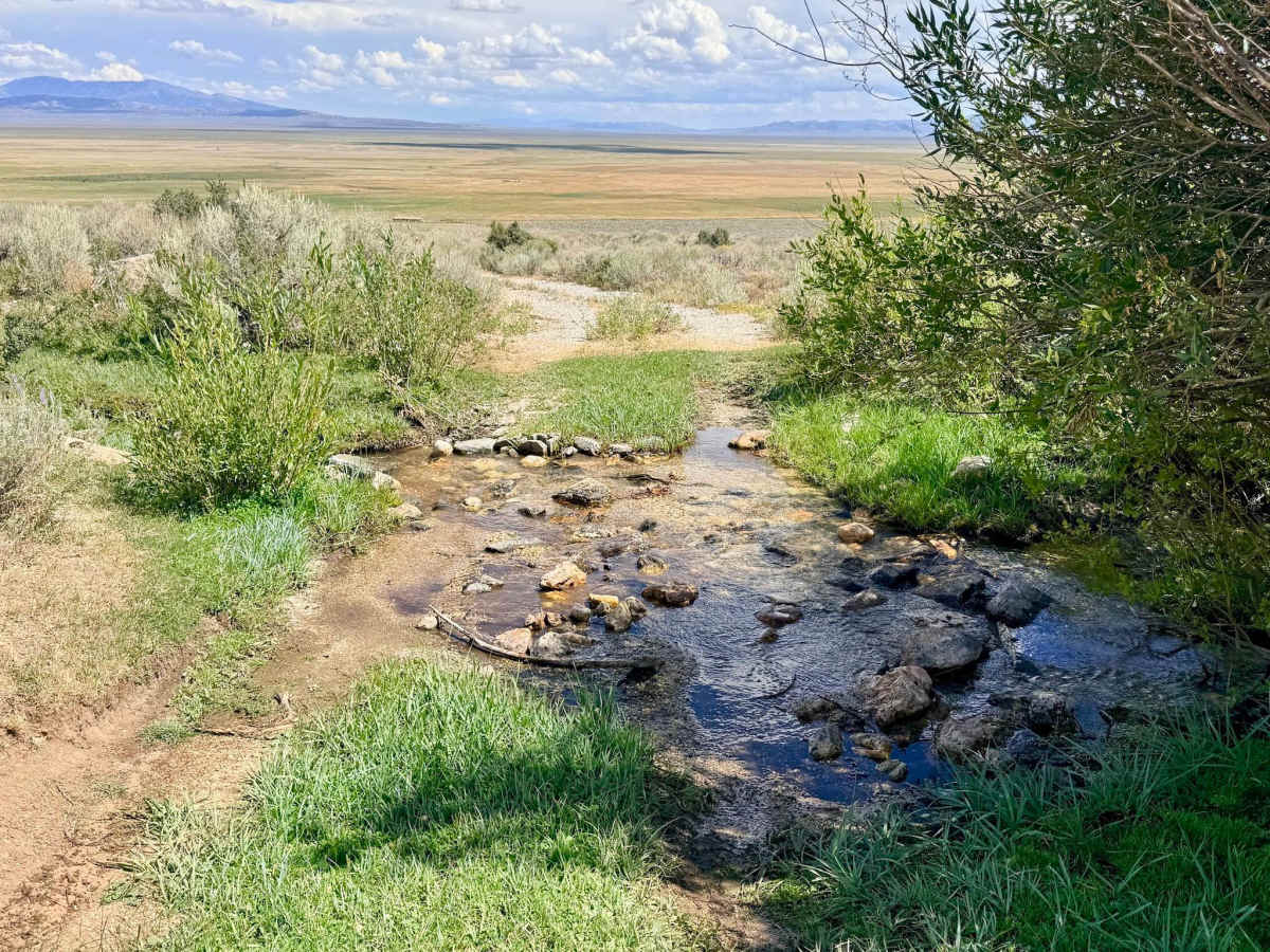
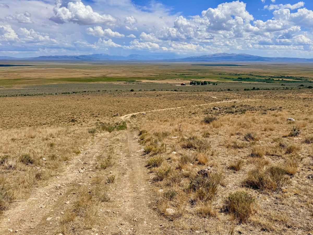
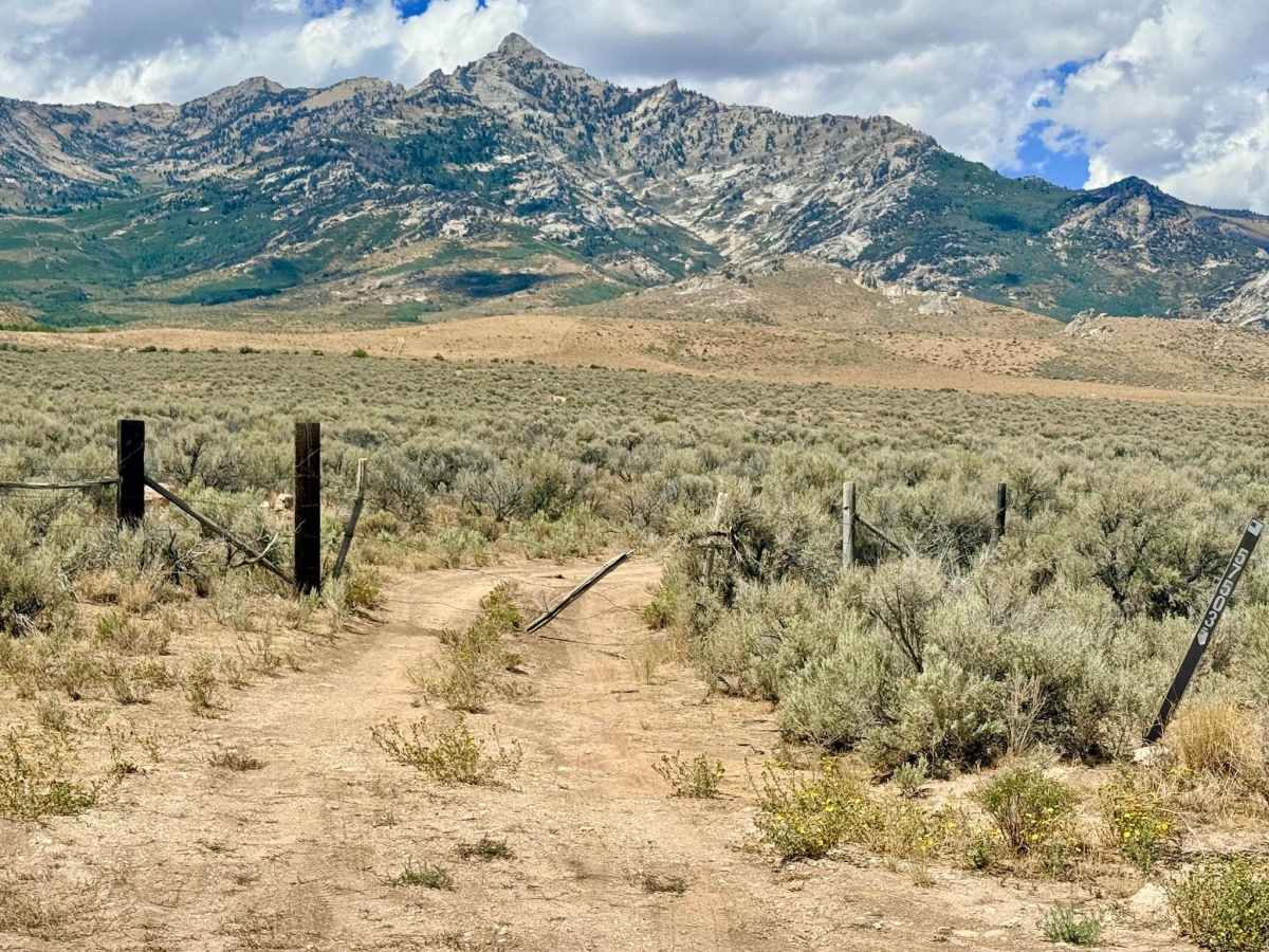
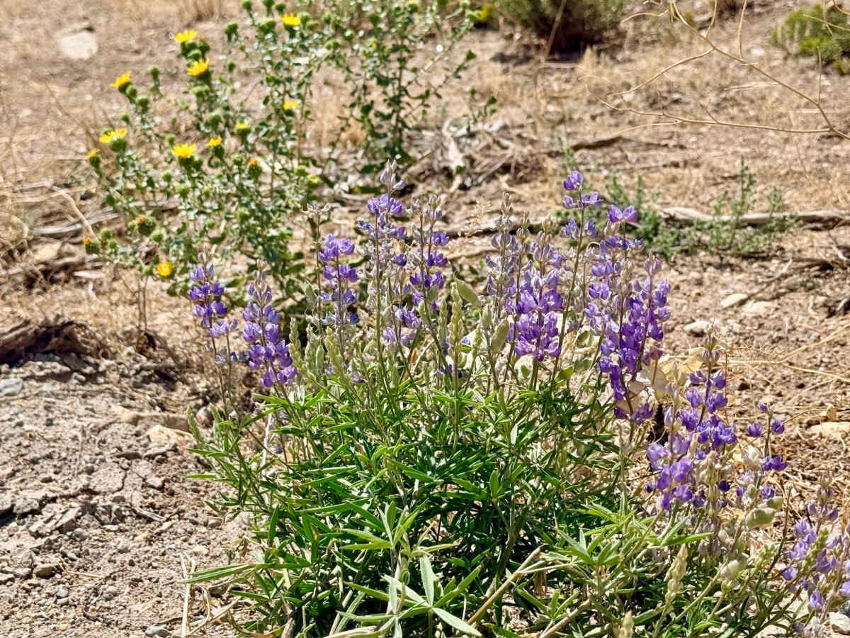
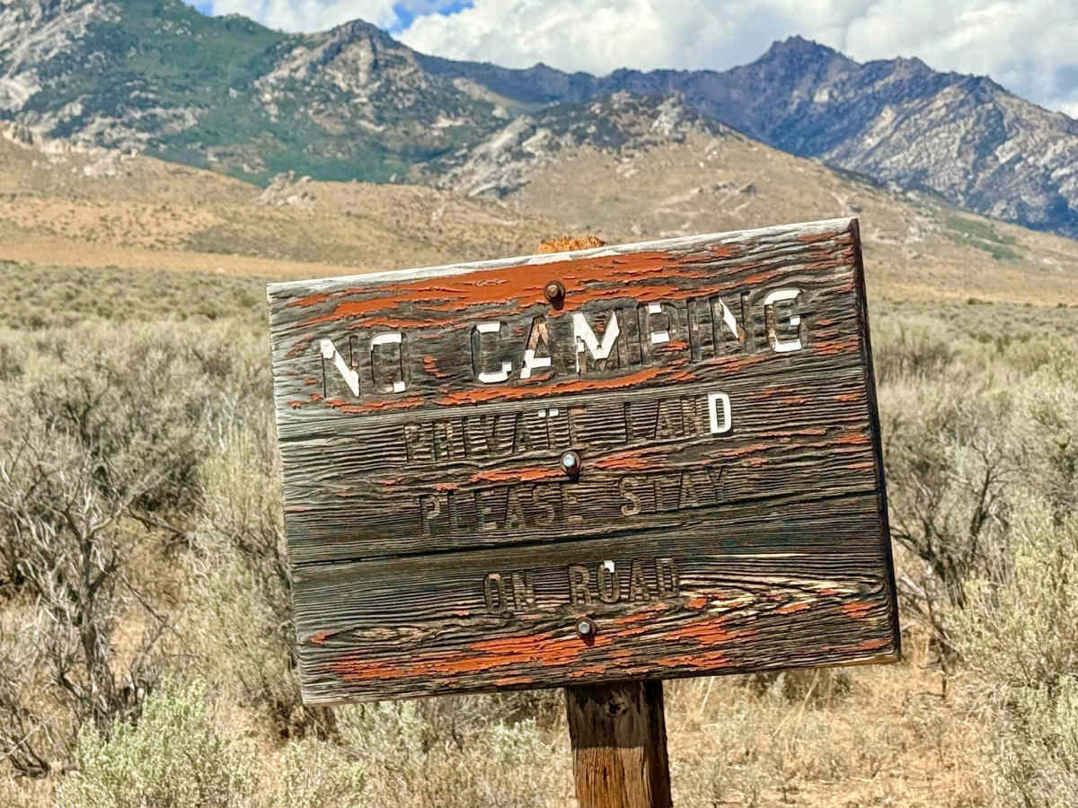
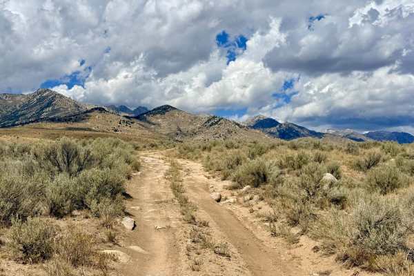
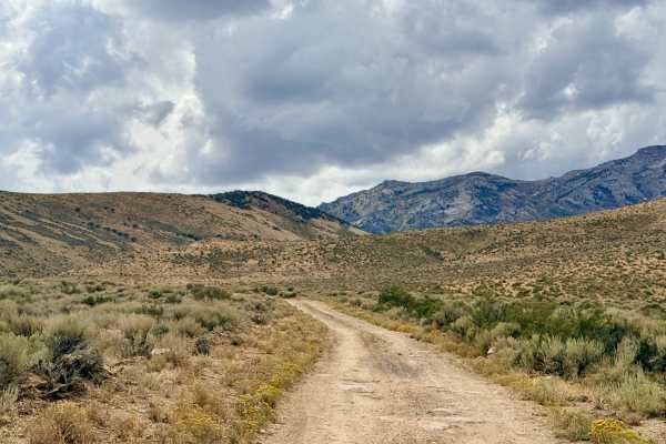
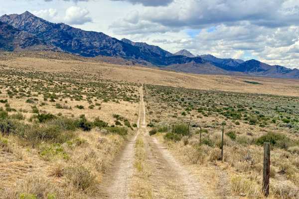
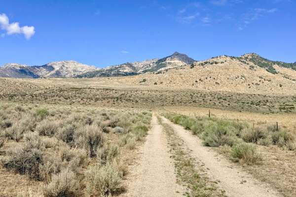
This scenic out-and-back route begins on the flat valley floor and steadily climbs into the picturesque foothills of the East Humboldt Range. After passing through the initial private property easement, the dirt track quickly changes character, presenting a series of rocky boulders that require careful tire placement early in the run. Once past these initial boulders, drivers will face long, sustained rock garden sections. While not heavily technical, these embedded rocks create a continuous, jarring ride as you climb higher into the hills. Along the ascent, the trail crosses a charming small creek, which breathes life into the surrounding terrain and offers a great spot to look for vibrant seasonal wildflowers in spring and summer. The route eventually culminates at a spacious clearing and parking area nestled deep in the foothills, marking the end of the vehicle trail. Excellent dispersed camping opportunities for two or three rigs can be found right at or slightly before the upper trailhead parking area. There is zero cell service on this trail. Downloading offline maps and carrying a satellite communication device (like a Garmin inReach or Zoleo) are recommended.