Trail Overview
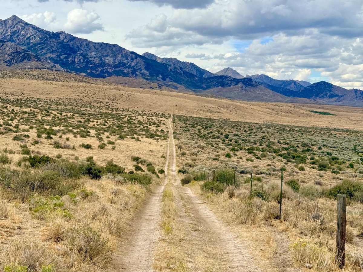
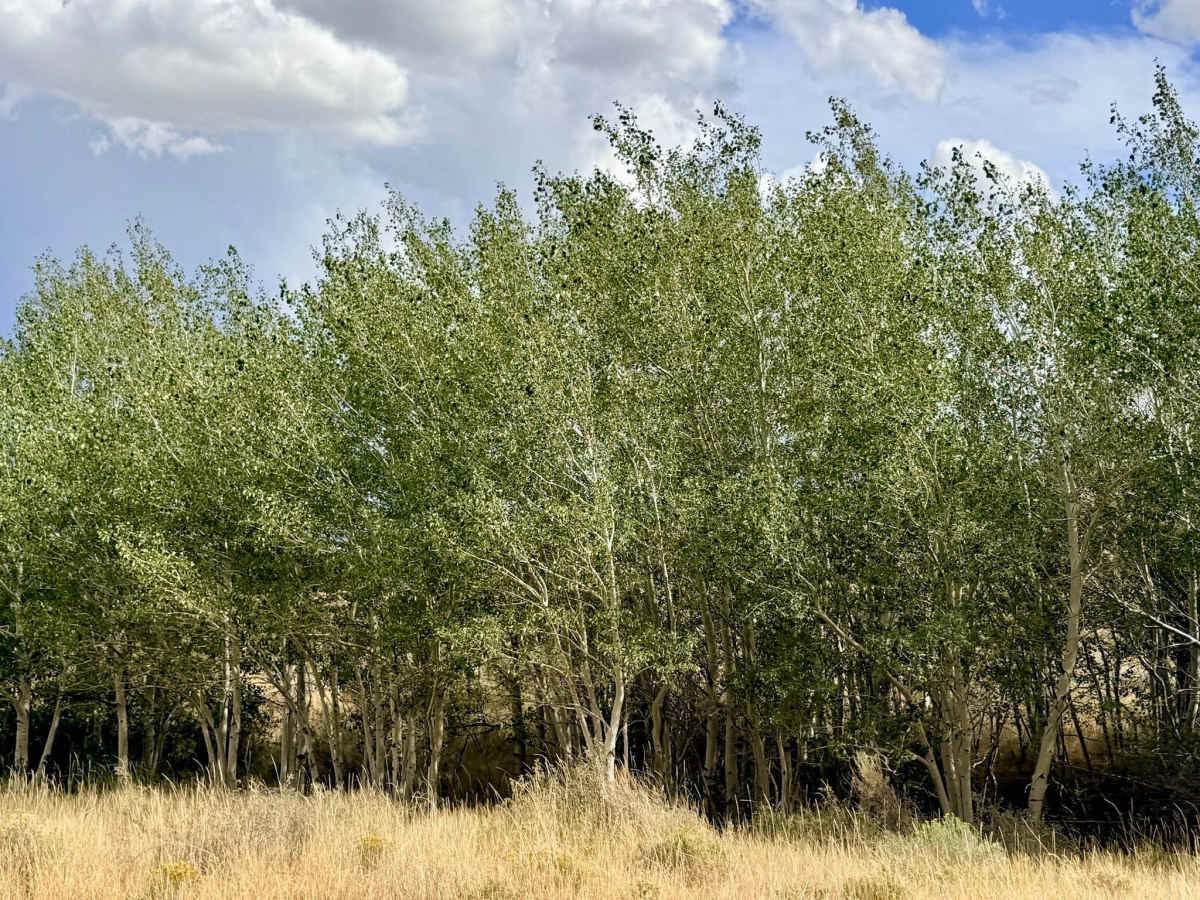
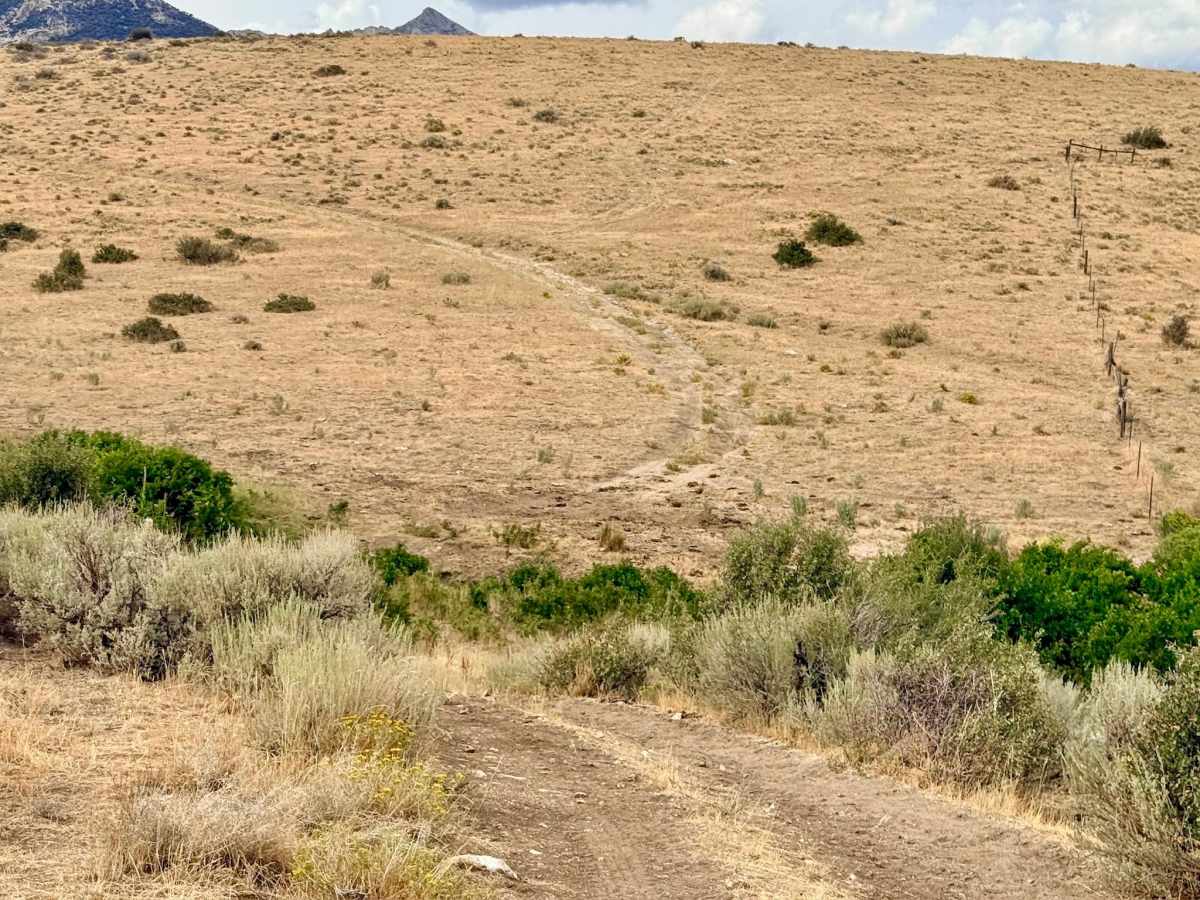
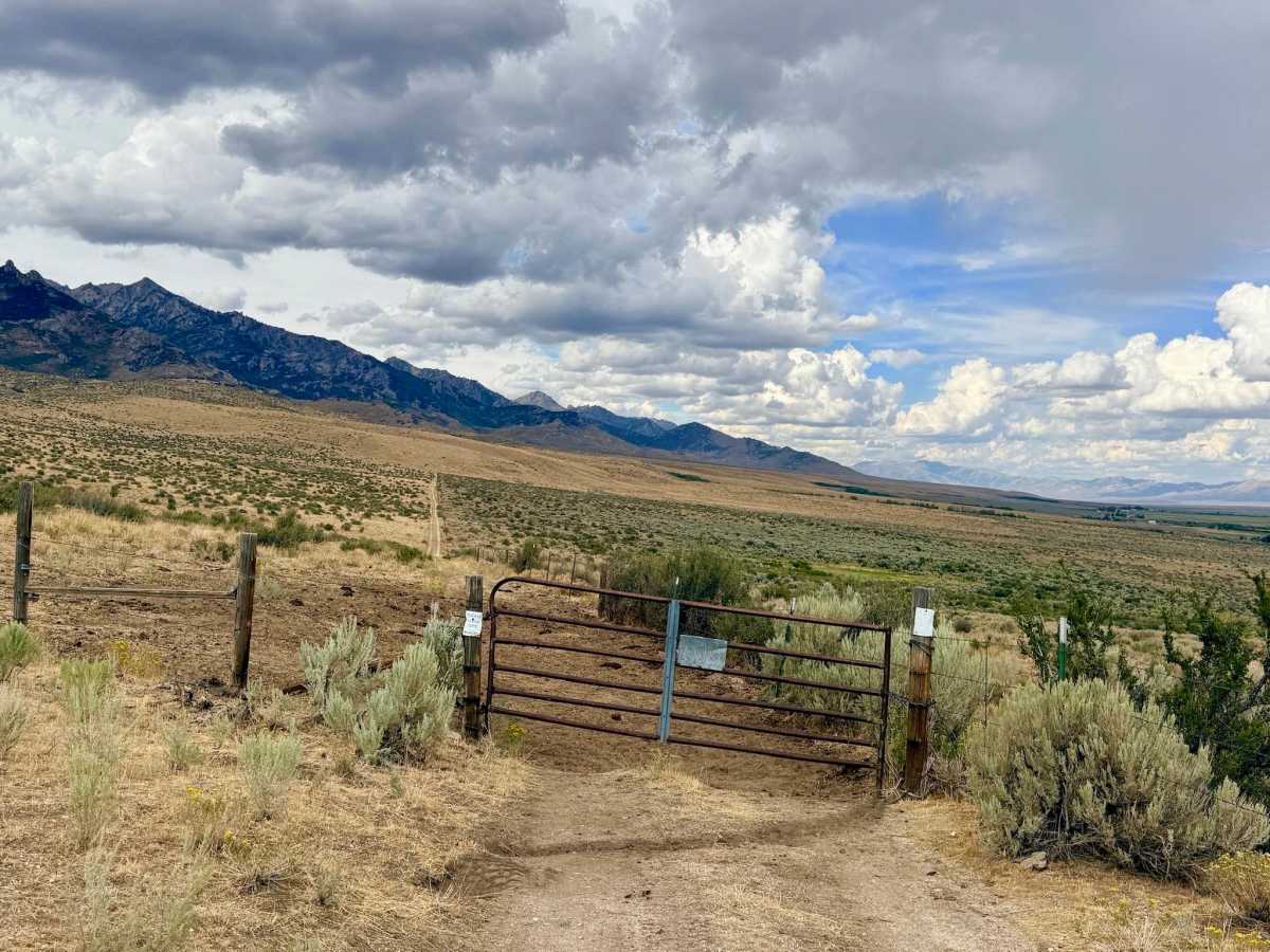
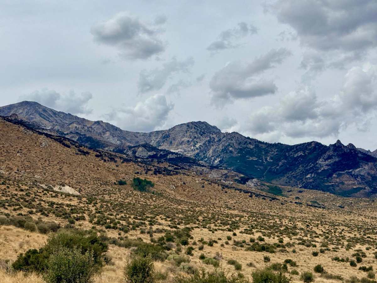
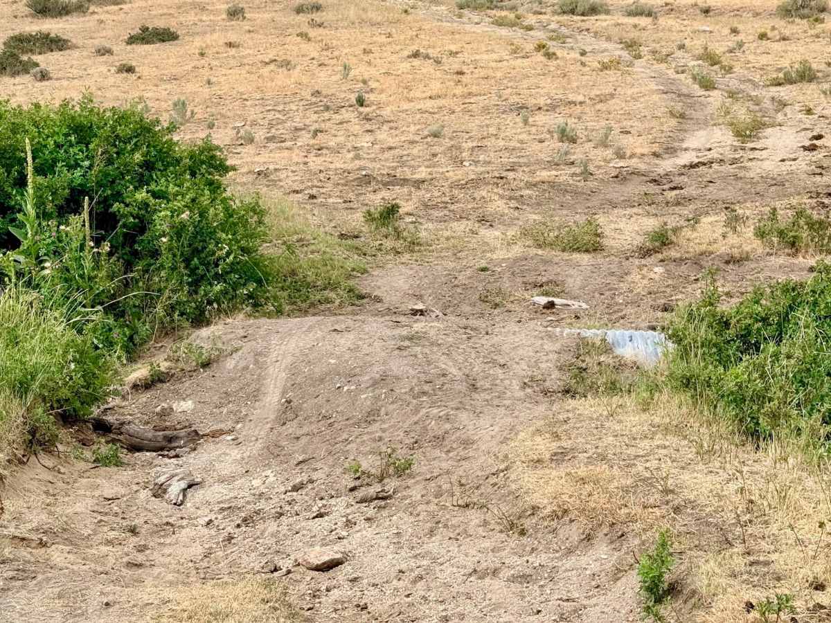
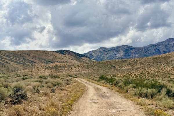
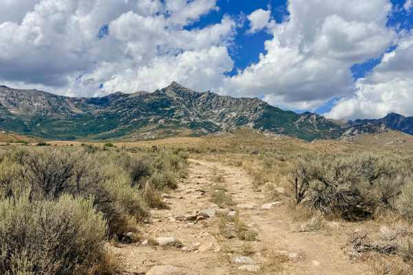
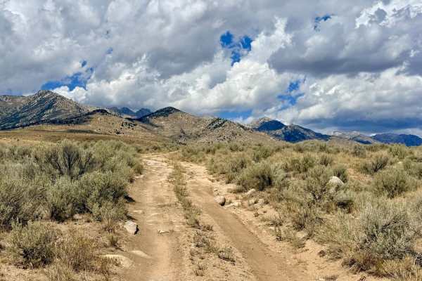
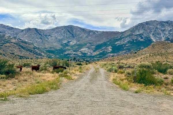
This trail begins in a sprawling, open meadow dominated by classic high-desert sagebrush. As you begin the route, you will spot old mining tailings scattered on the adjacent hillside, hinting at the area's history. The trail soon leads to a cattle gate, marking the transition deeper into the landscape. After navigating the steep, washed-out culvert at the creek crossing, the trail begins a steady climb up the hill, working its way further into the foothills. The road tightly follows the upper side of the creek, offering a beautiful contrast of vegetation. You will find lush, mature Aspen groves thriving down low near the water source, while resilient mountain mahogany clings to the drier hillsides above. The vehicle route eventually terminates in a grassy, sloped meadow high in the foothills, providing sweeping views of this remote corner of Nevada. You will encounter a closed gate with signage early on. Always leave the gates exactly as you found them. There is absolutely no cell service anywhere along this route. Downloading offline maps is recommended before heading into this area.
Difficulty
The majority of this trail is a gentle and straightforward drive through the foothills. However, it earns a 3 rating due to a tricky creek crossing. The dirt around an existing culvert has completely washed out, creating steep, abrupt transitions to drop into and climb out of the small creek bed.
History
The visible mine tailings dotting the hillside at the beginning of the trail serve as a quiet reminder of Nevada's extensive, yet often localized, prospecting history. Unlike massive, industrialized mining operations, the East Humboldt Range is peppered with these small-scale "scratchings" the results of determined, independent miners who manually dug into the hillsides chasing thin veins of precious metals. Many of these small claims ultimately went bust, leaving behind only the loose rock tailings and the rugged access roads we use today to explore the region.

 Offroad