Trail Overview
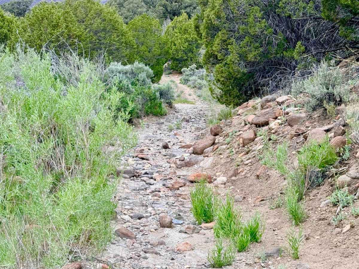
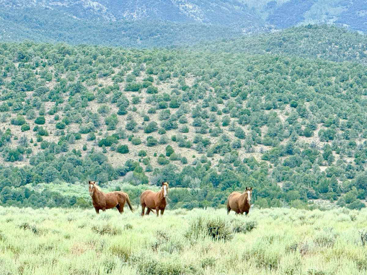
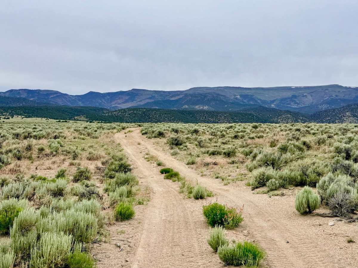
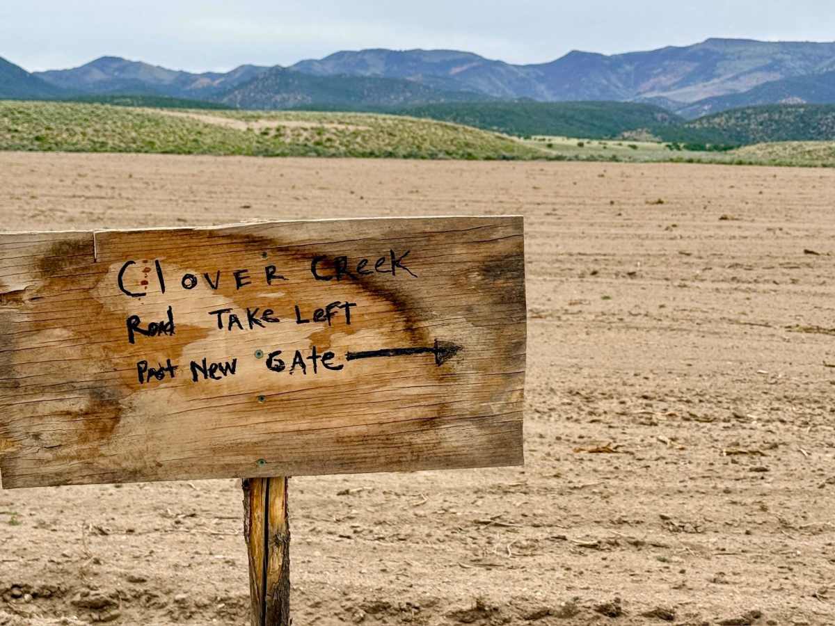
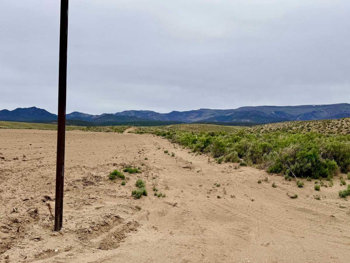
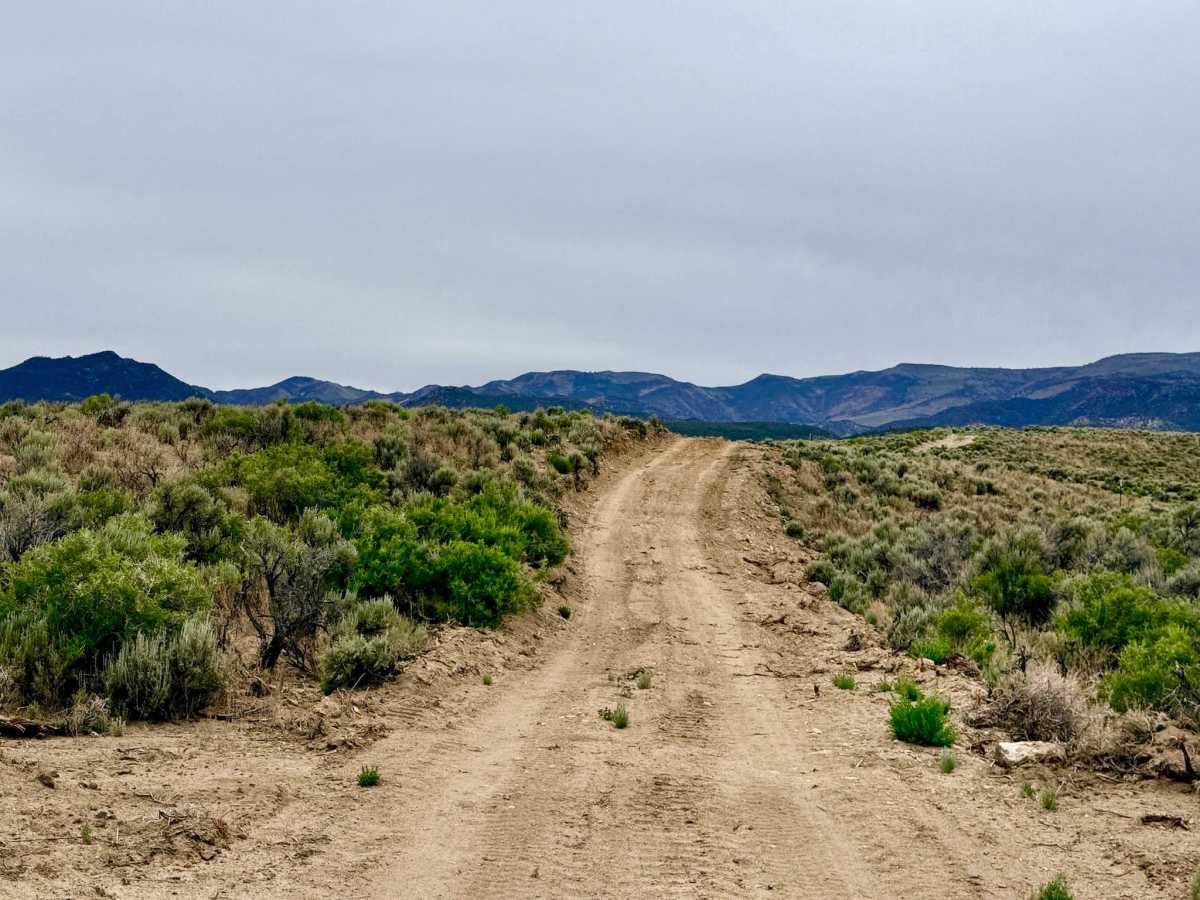
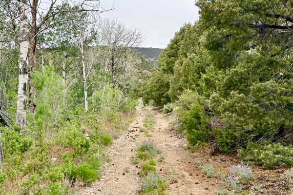
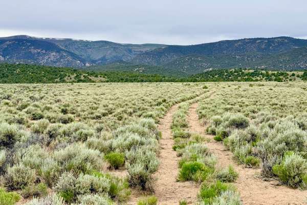
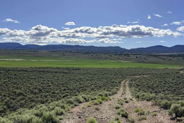
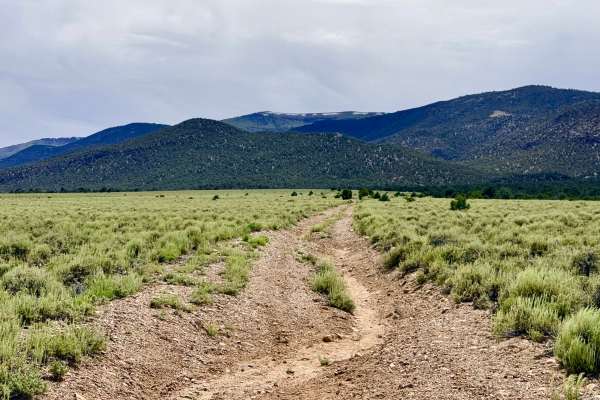
Clover Creek is a fascinating journey. The adventure begins with a recent change in access: a local farm has expanded its fields over the original road, but travelers will find a helpful new entrance marked with a clear wooden sign near a gate. As you leave the valley floor, the trail provides an interesting transition, winding through open basins before plunging into a dense pinyon-juniper forest that grows increasingly intimate the further you climb. The driving is physically engaging and technically demanding. The route traverses several moderate boulder fields before beginning a series of technical crossings over the Clover Creek bed. Explorers should be prepared for deep, eroded washouts at these crossings; the steep entry and exit angles are extreme enough that stock front bumpers and trailer hitches will almost certainly make contact. As you approach the motorized terminus, the forest closes in, creating a narrow "brush tunnel" that leads to the staging area for the non-motorized Clover Creek and Horse Canyon hiking trails. Along the way, keep a sharp eye on the sky for various raptors and enjoy the numerous secluded, dispersed campsites that line the creek-side corridor. This is active open-range grazing land. You will encounter two cattle gates at the beginning of the trail. Please leave them exactly as you found them (closed means closed)to assist the local farm and ranching operations. Expect zero cell service for the duration of this canyon run. The high ridges create a total signal shadow. Download offline maps before leaving the Tonopah or Highway 376 corridor.
Navigation & Signage Note: Digital maps for this area may incorrectly designate this trail as #24052. However, approximately 3/4 of a mile past the entrance, a physical, old-style Forest Service sign correctly identifies the route as #098. Trust the physical signage and your GPS heading rather than the digital number designation.
Difficulty
Rated a 4 due to the combination of deep washouts at creek crossings, sustained off-camber sections, and boulder-strewn segments. High clearance is mandatory, and a slow, angled approach to the washouts is required to protect your vehicle. Significant paint damage (Arizona pinstriping) is guaranteed. The vegetation near the hiking trailheads is unmaintained and will scrape both sides of standard-width vehicles.