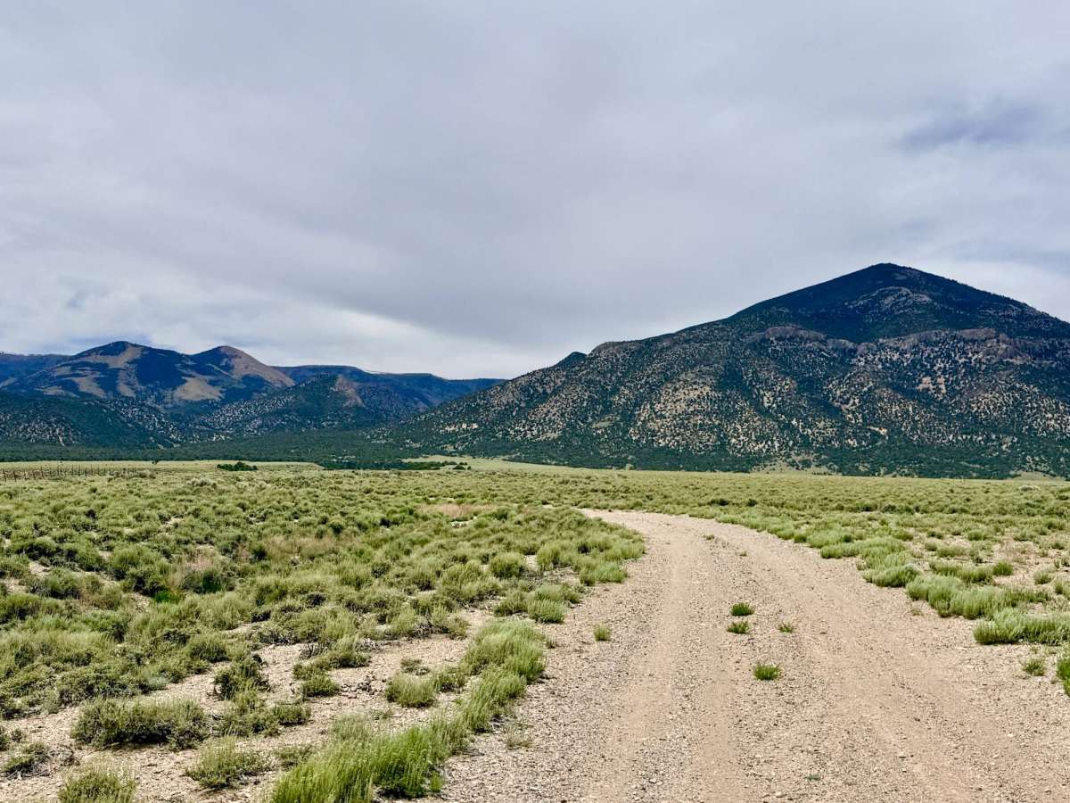
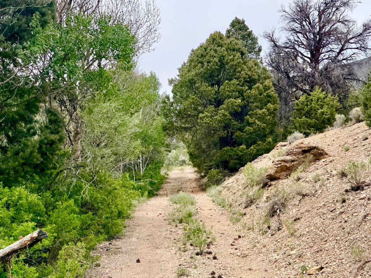
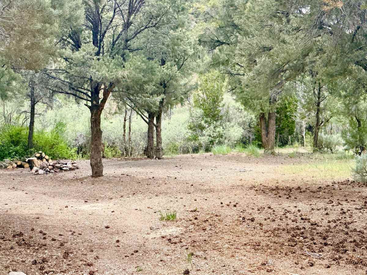
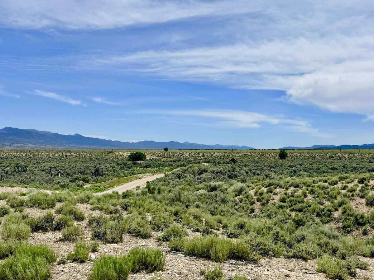
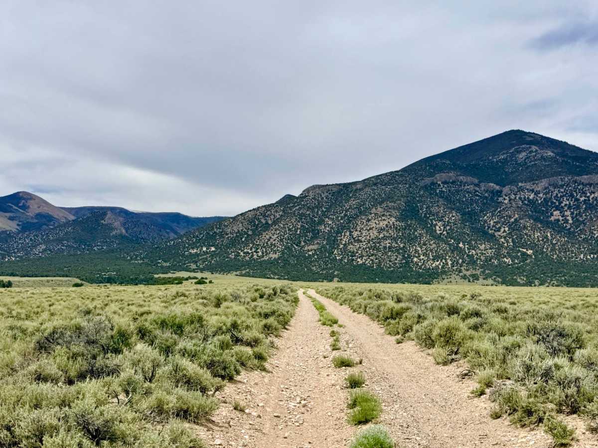
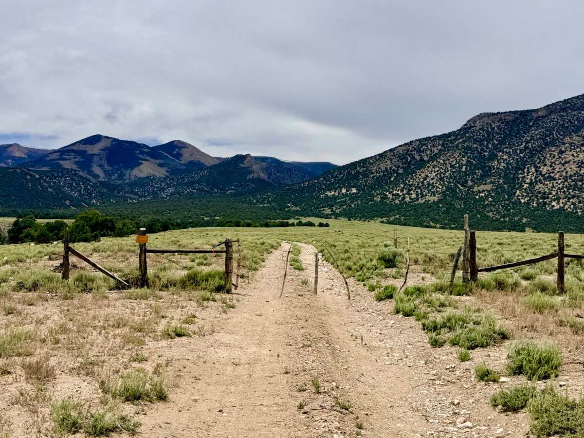
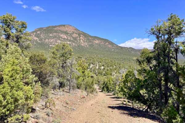
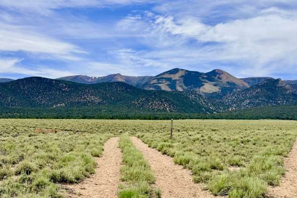
Trail Overview
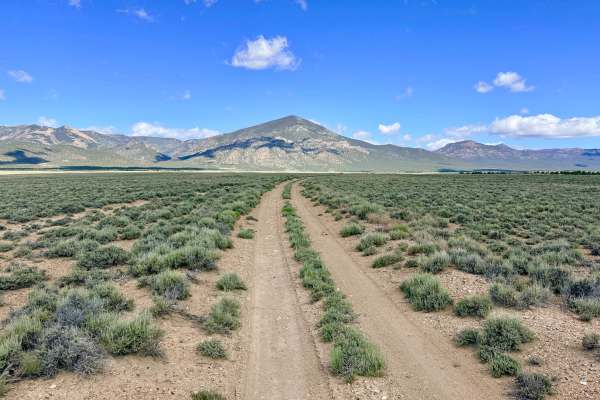
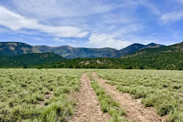
Clear Creek Trailhead is a pleasant and scenic out-and-back route. The journey carries you alongside a thin, babbling creek that winds through a landscape of silver sagebrush and riparian willow. As you ascend, you are treated to magnificent views of the looming Monitor peaks, which provide a dramatic backdrop to the lush, green corridor of the creek. This trail is a premier destination for those seeking a "basecamp" experience. The route is lined with ample dispersed camping spots, many featuring well-established rock fire rings tucked into the brush near the water. The motorized track terminates at a spacious trailhead parking area, which also serves as an excellent flat spot for overnighting. This hub provides access to the Clear Creek Hiking Trail, which climbs into the high-altitude basins and appears to link up with the Danville Canyon Trail near Clear Lake. Bordering the Table Mountain Wilderness, this area offers a profound sense of peace and is an ideal spot for those looking to combine off-roading with high-wilderness hiking. There is no winter maintenance on this route. While the lower section is well-taken care of, snow can block access to the trailhead well into the spring. Expect zero cell service for the duration of this trail. The canyon walls create a complete signal shadow. Download offline maps before leaving the Tonopah or Highway 376 area.
Difficulty
Rated a 2 for its easy grade, but the track is consistently narrow. If you encounter oncoming traffic, one vehicle will likely need to utilize a natural pull-off or back up to a wider section to allow passage.
History
The Clear Creek area sits near the historic Danville Mining District, where silver was first discovered in 1866. While the massive booms occurred further south, Danville was a vital camp where miners and ranchers relied on the reliable flow of Clear Creek to survive. The trails you use today to reach the wilderness were once the lifelines for 19th-century pioneers who hauled supplies by mule team to the high-altitude claims. The nearby Table Mountain Wilderness, with its unique high-plateau geography, has been a sanctuary for both Indigenous people and early settlers for over 150 years.