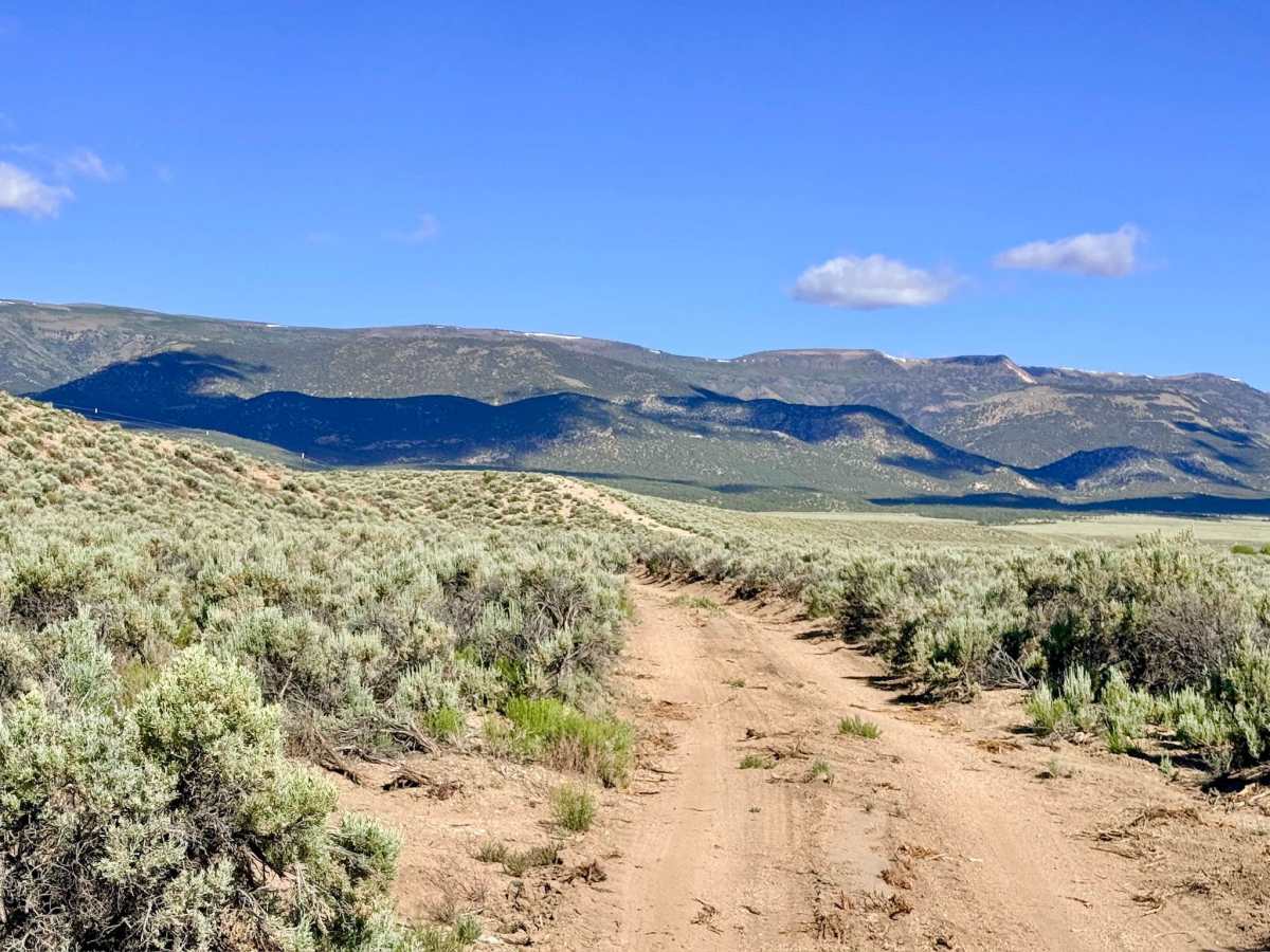
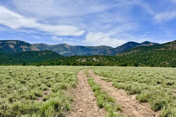
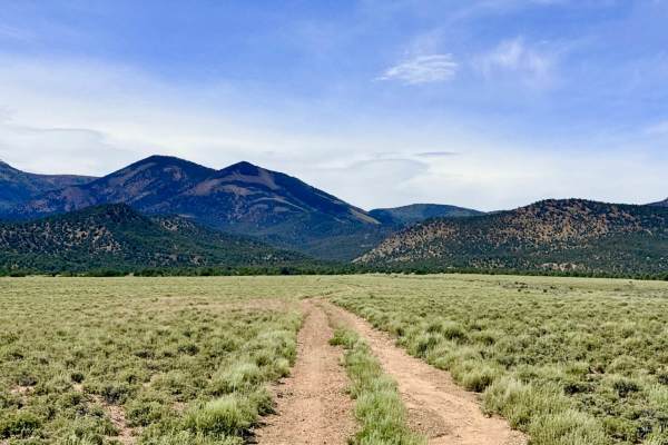
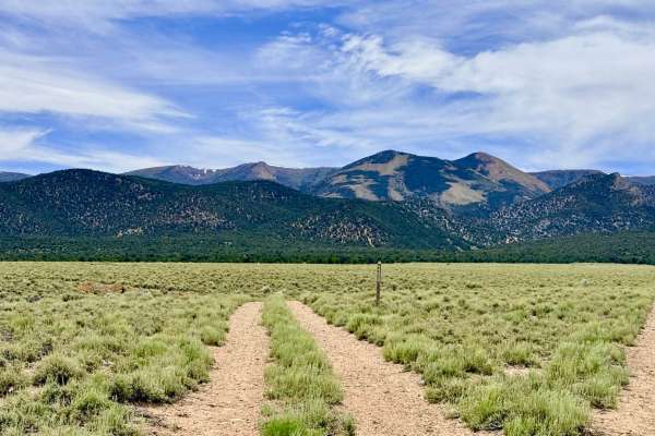
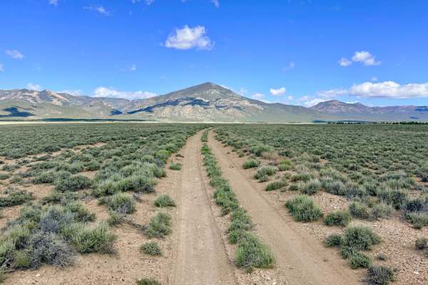
Trail Overview
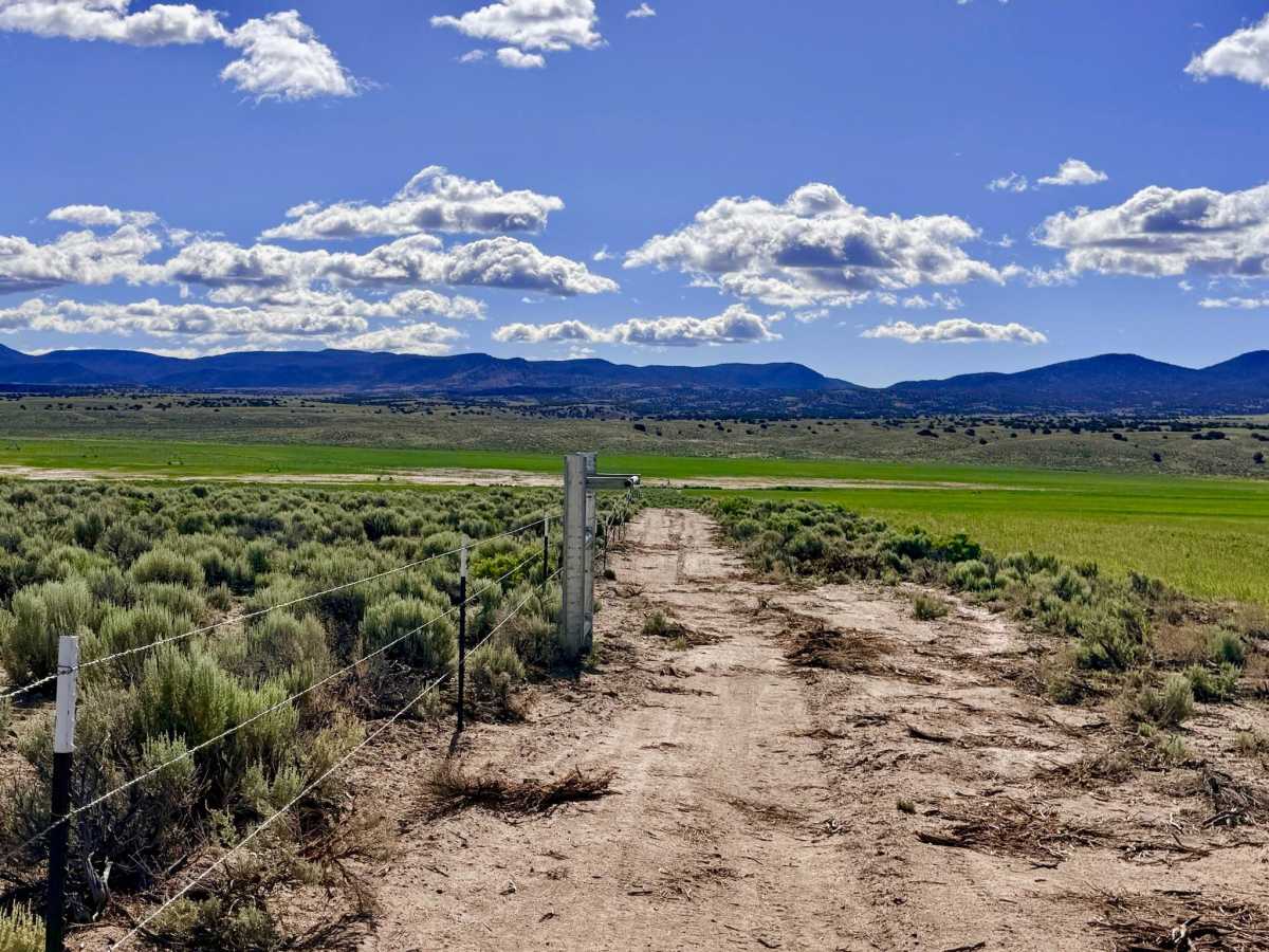
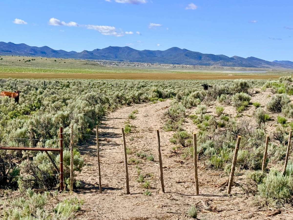
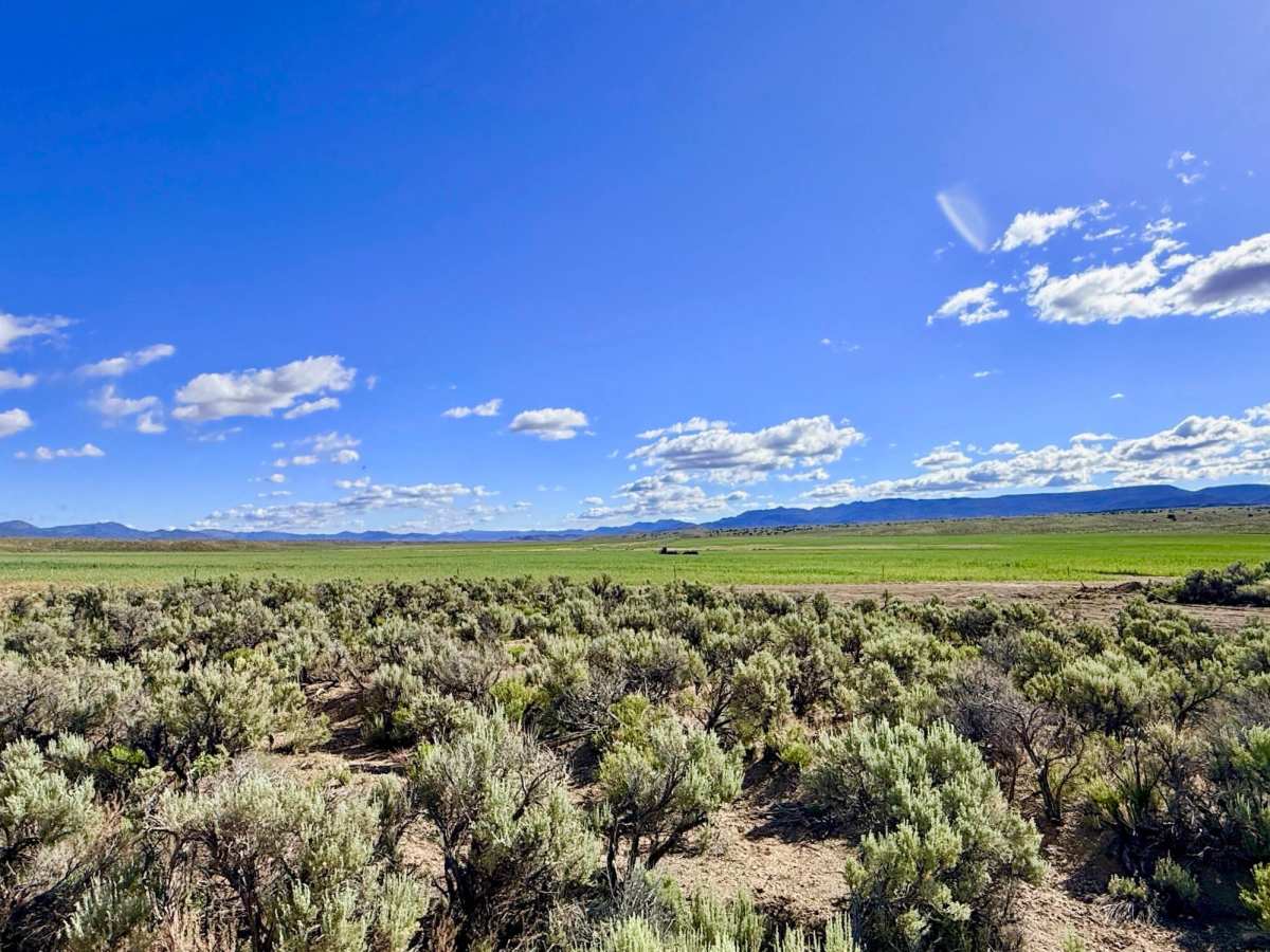
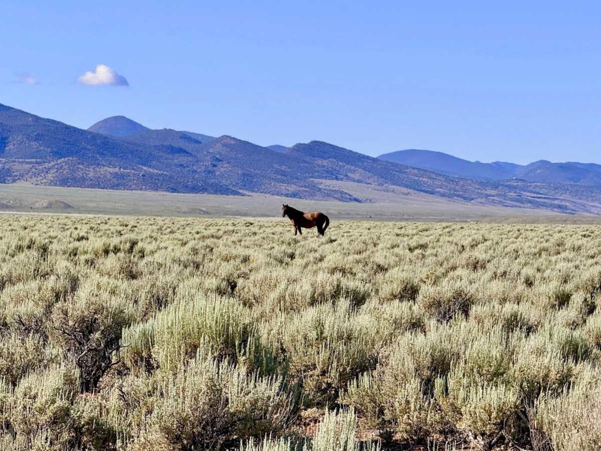
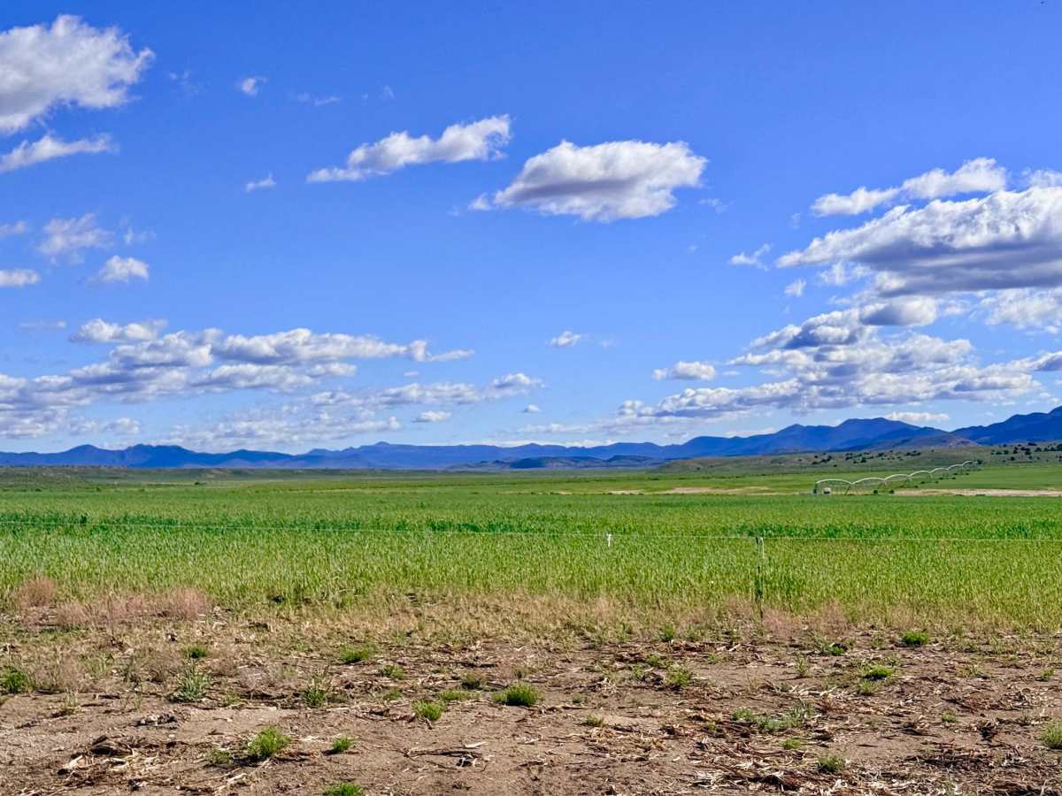
Bottom Road serves as a fascinating corridor through a "working" high-desert landscape. This route follows the boundary of sprawling private farmland, offering explorers an up-close look at the modern agricultural engine that sustains this remote region. The journey is defined by the sight of massive, newly established hay and alfalfa fields, a vibrant green contrast to the surrounding gray-green sagebrush. Because of these ongoing agricultural improvements, the area's physical layout has shifted; travelers should follow the established tracks that skirt the edges of the farming operations to witness the unique intersection of National Forest utility and private industry. The drive is generally smooth and easy-going, providing wide-open views of the Toquima and Hot Creek ranges. This is a high-traffic area for local livestock; the trail is frequently occupied by cattle, so a slow, steady pace is required, especially when rounding blind corners near the fence lines. The motorized route provides an essential link for local transit but concludes definitively at its northern end. The trail terminates just north of Anderson Field Road, where travelers are met with prominent signage stating that the road is closed due to high water and that entering private property is prohibited. Please respect these closures and the multiple "No Trespassing" signs that mark the end of the public thoroughfare. Expect zero cell service on this route. The surrounding hills block all signals from the Tonopah area. Download offline maps before leaving the main Highway 376 corridor.
Difficulty
While rated a 2, the presence of deep, established ruts indicates that this trail becomes completely impassable when wet. The alkaline soil here turns into a sticky "gumbo" that can trap even capable vehicles.