Trail Overview
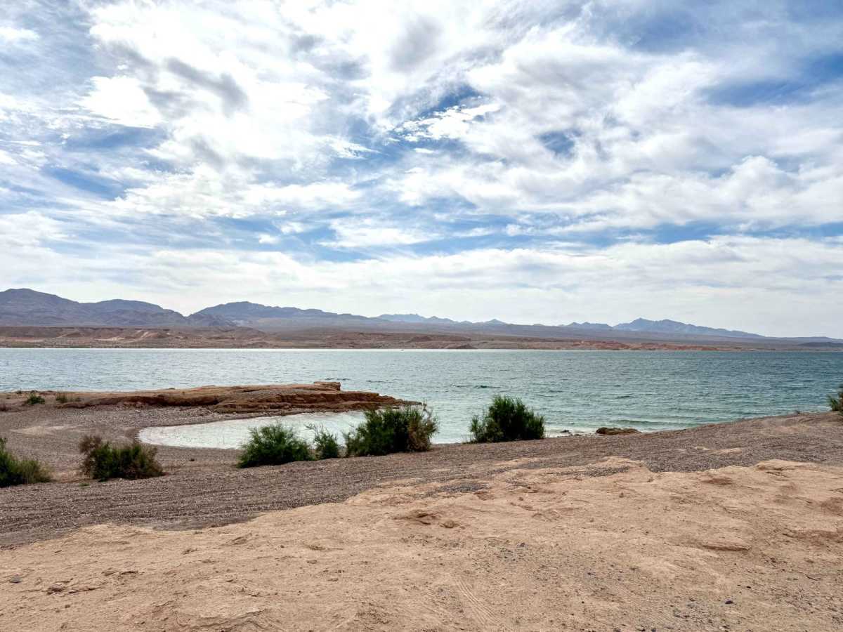
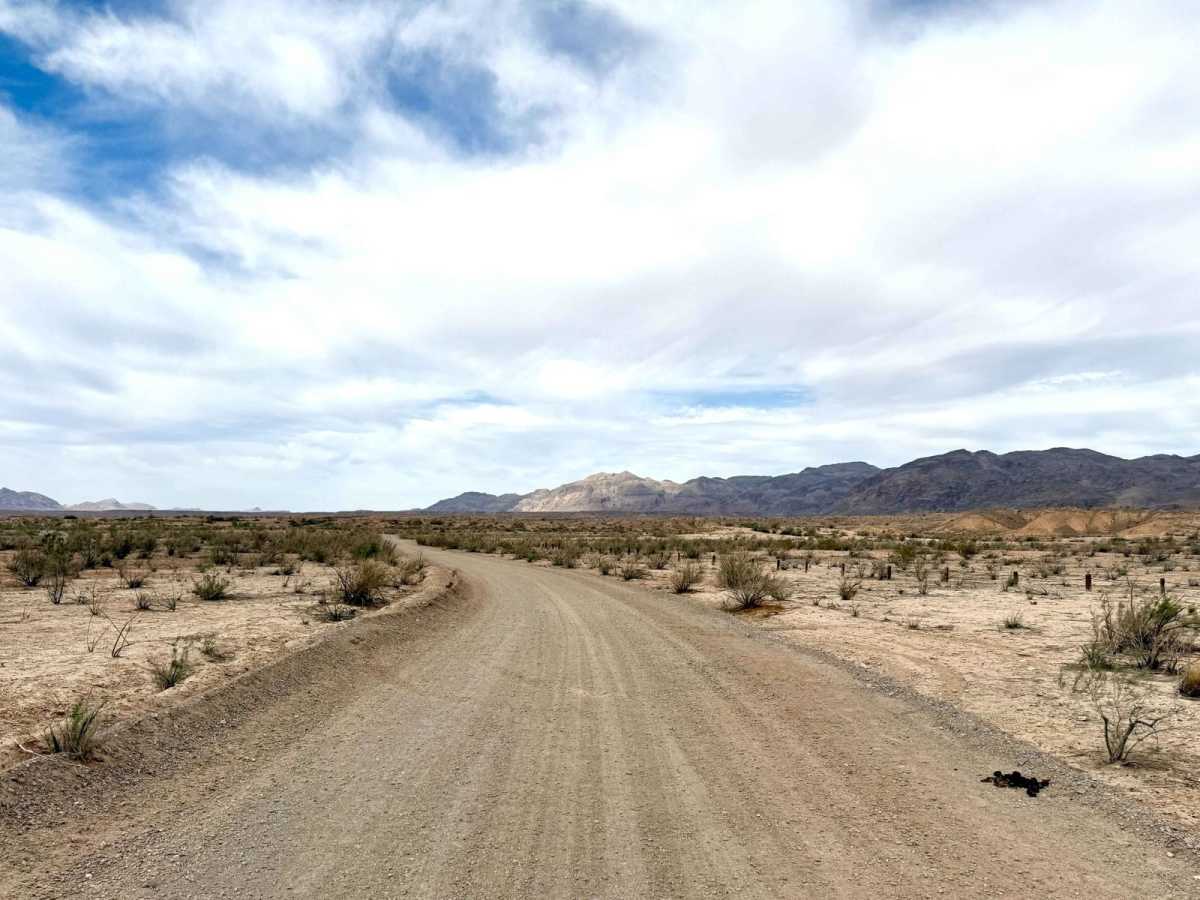
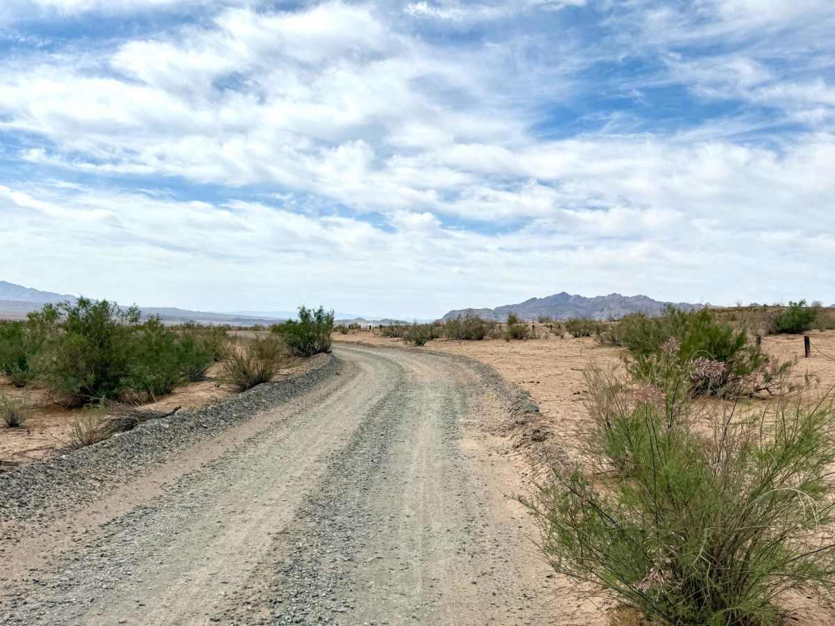
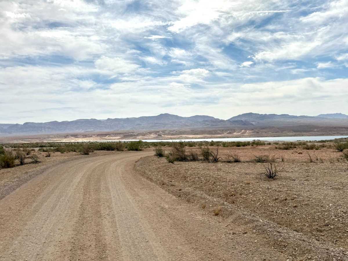
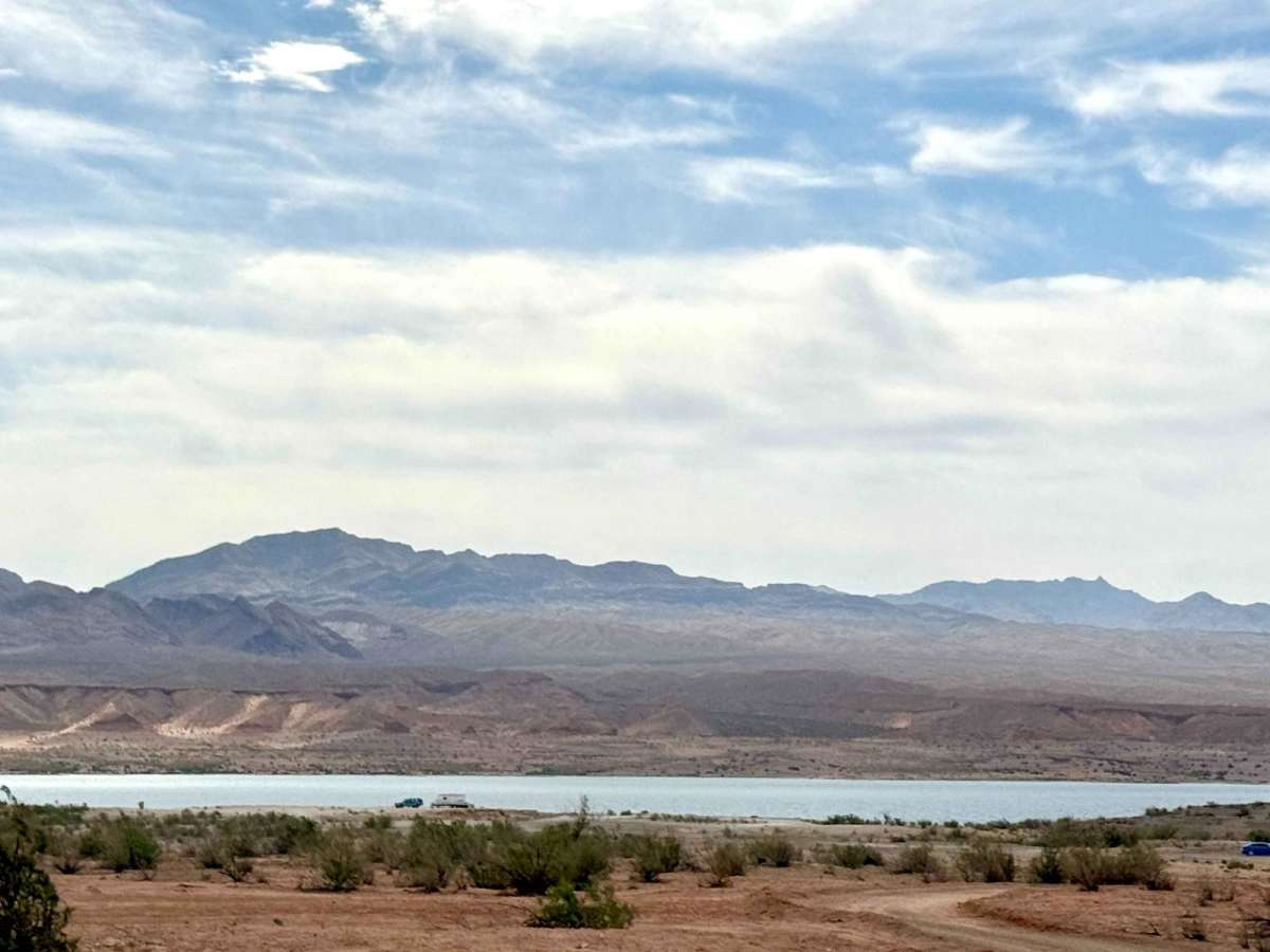
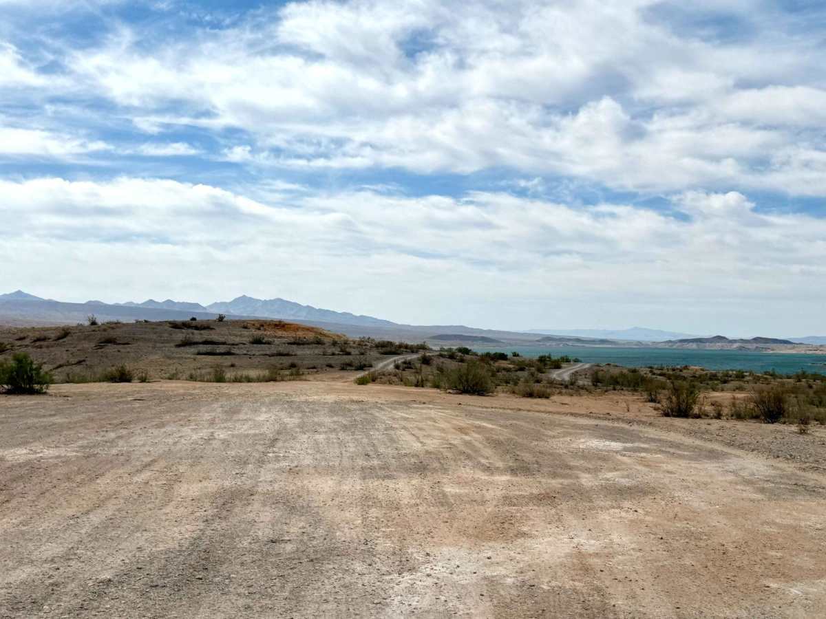
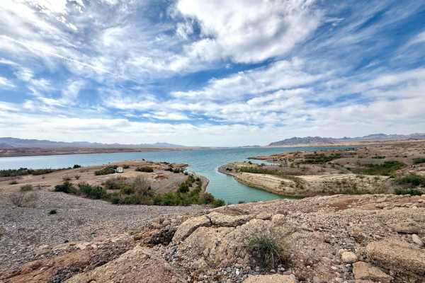
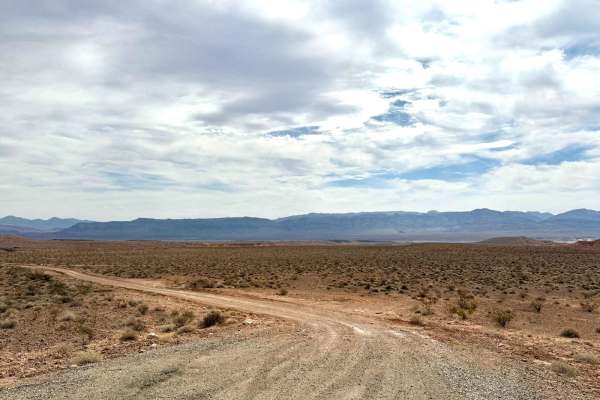
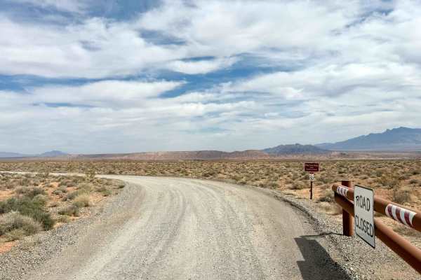
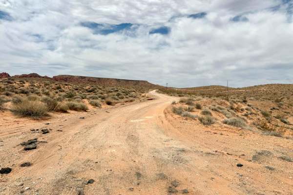
Blue Point Bay is a primarily easy offshoot trail that leads from the Stewart's Point dispersed camping area down to the lakeside. This route remains technically within the boundaries of the dispersed camping area, making it a convenient choice for those looking to settle in close to the water. The trail is straightforward to navigate until you reach the area below the water line, where you'll need to exercise more caution as the terrain becomes trickier. Here, it's essential to pull over to allow oncoming traffic to pass, ensuring a smooth experience for everyone enjoying this beautiful location. Many great camping spots around Blue Point Bay invite outdoor enthusiasts to camp and enjoy the scenic views. Important Note: Cell service is unavailable in this area, so download your offline maps before your journey. As the trail may become muddy when wet, preparation with adequate water and supplies is crucial.
Difficulty
This trail is rated as a 2, reflecting its generally easy navigation with some careful driving needed, particularly toward the end as you approach the lakeside, where you may encounter silt beds and soft gravel sections with the occasional short shelf.