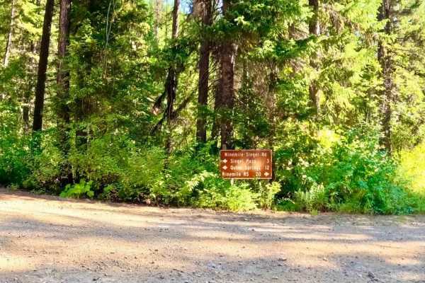
Pardee Cr. Rd-Ninemile Rd (97)

Total Miles13.8
Technical Rating
2Easy
Best TimeSummer, Fall
Trail TypeFull-Width Road
Accessible By

Open Trail Map

Trail Overview

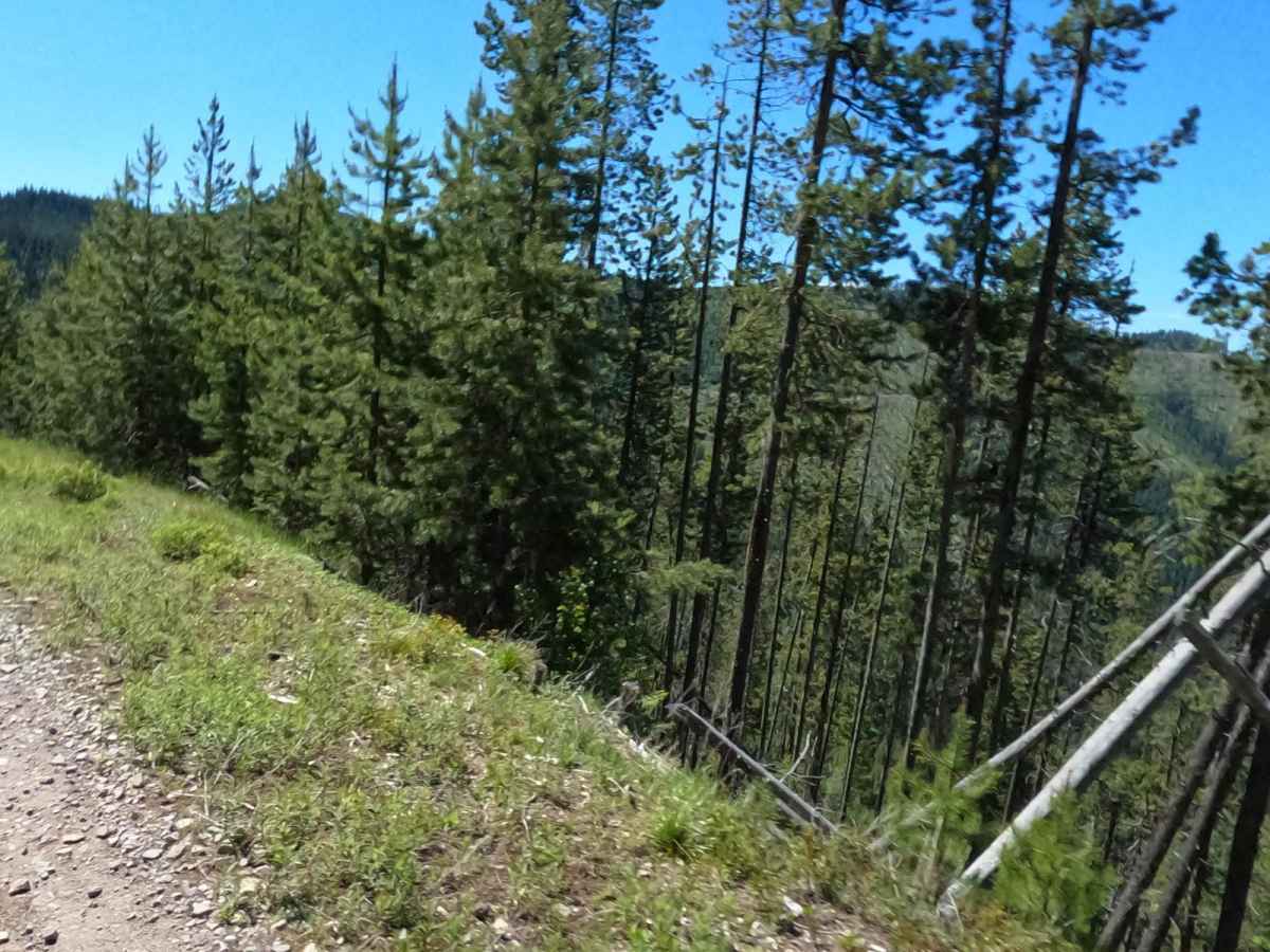
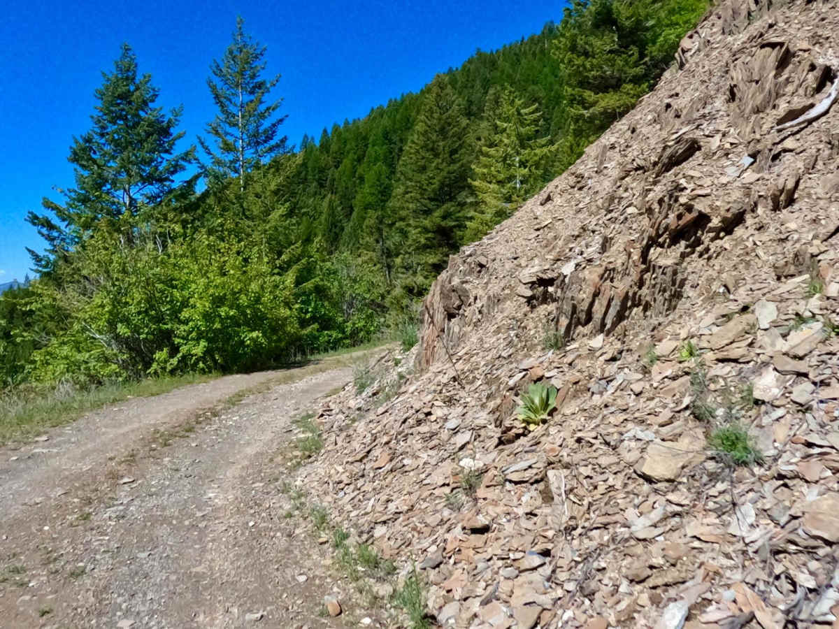
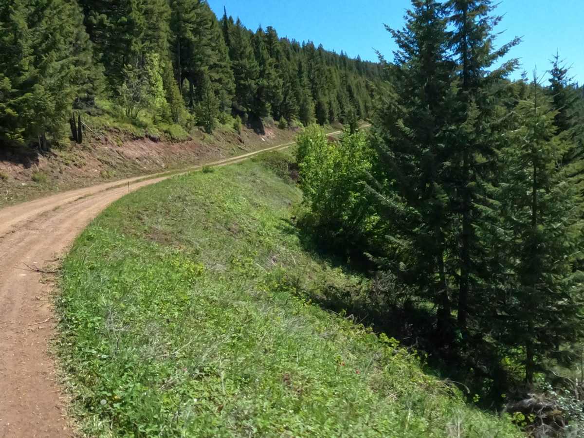
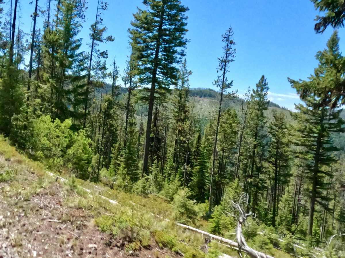
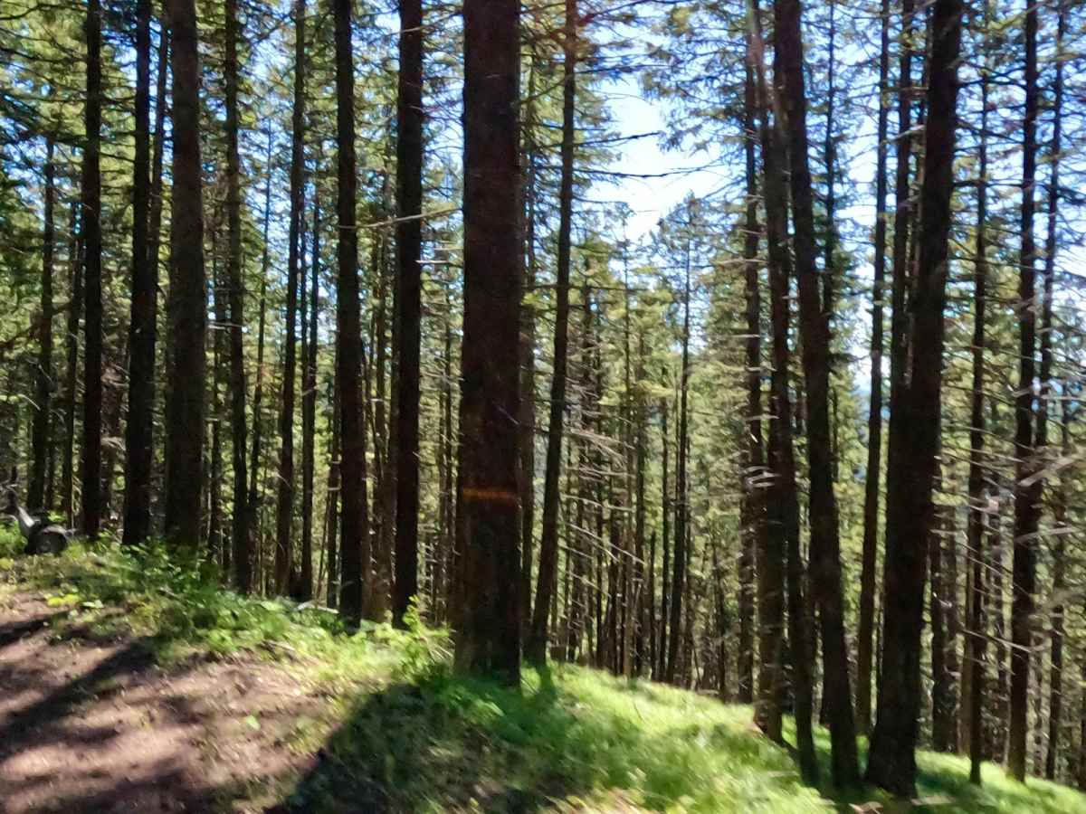
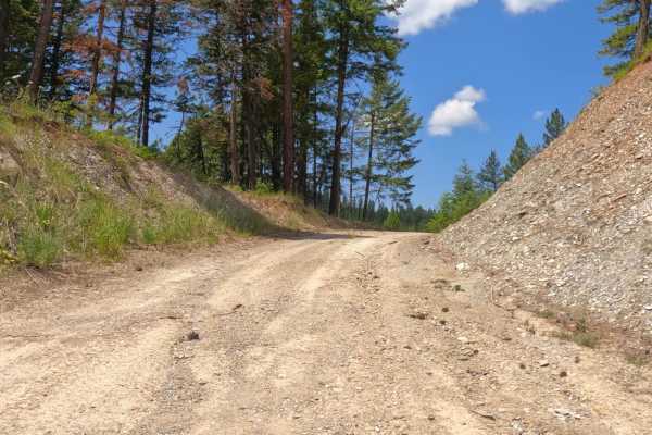
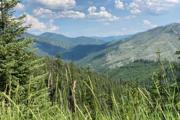
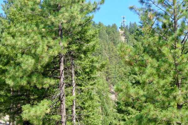
The route begins at the W. end of Mullan Rd. just outside Superior, MT. The route begins as a gradual climb from 2800'' through winding gravel and dirt roads. Sharp turns and steep embankments will be encountered along the route. The route is wide enough for two vehicles to pass, but there are areas where it is down to one lane. The route passes through some private land, but mostly national forest property. Wild animals can be seen on the route at times along with some beautiful flora. The route eventually makes its way to the 6100' elevation overlooking the mountains to the south. Great route if you are looking for some great scenery and easy riding.

Photos of Pardee Cr. Rd-Ninemile Rd (97)

Difficulty

Loose rock, dusty if dry, possible tree down across the road and puddles could be encountered.

Technical Rating

2

Status Reports

Add Status Report
Justin Allen
Jun 24, 2026
Obstructed
Downed Tree
Coming from West Side of Pardee Creek, after the Arch trail turn off there is a large section of down trees. Full-size and SxS won’t be able to pass. ADV bikes be ready to lift your bike over if you’re on the Montana BDR route!
Spencer McNamara
Jul 20, 2024
Open
Dusty
Turned off atSloway Gulch (FSR 389). Very dry & dusty

Pardee Cr. Rd-Ninemile Rd (97) Trail can be accessed by the following ride types:

  • Single Track
  • 50 Inch
  • 60 Inch
  • High Clearance
  • Full Width

Pardee Cr. Rd-Ninemile Rd (97) Map

The onX Offroad Difference

onX Offroad combines trail photos, descriptions, difficulty ratings, width restrictions, seasonality, and more in a user-friendly interface. Available on all devices, with offline access and full compatibility with CarPlay and Android Auto. Discover what you're missing today!

Open Trail Map