McClain Creek Road (FS 1311)

Total Miles4.1
Technical Rating
2Easy
Best TimeSummer, Fall
Trail TypeFull-Width Road
Accessible By
Open Trail Map

Trail Overview

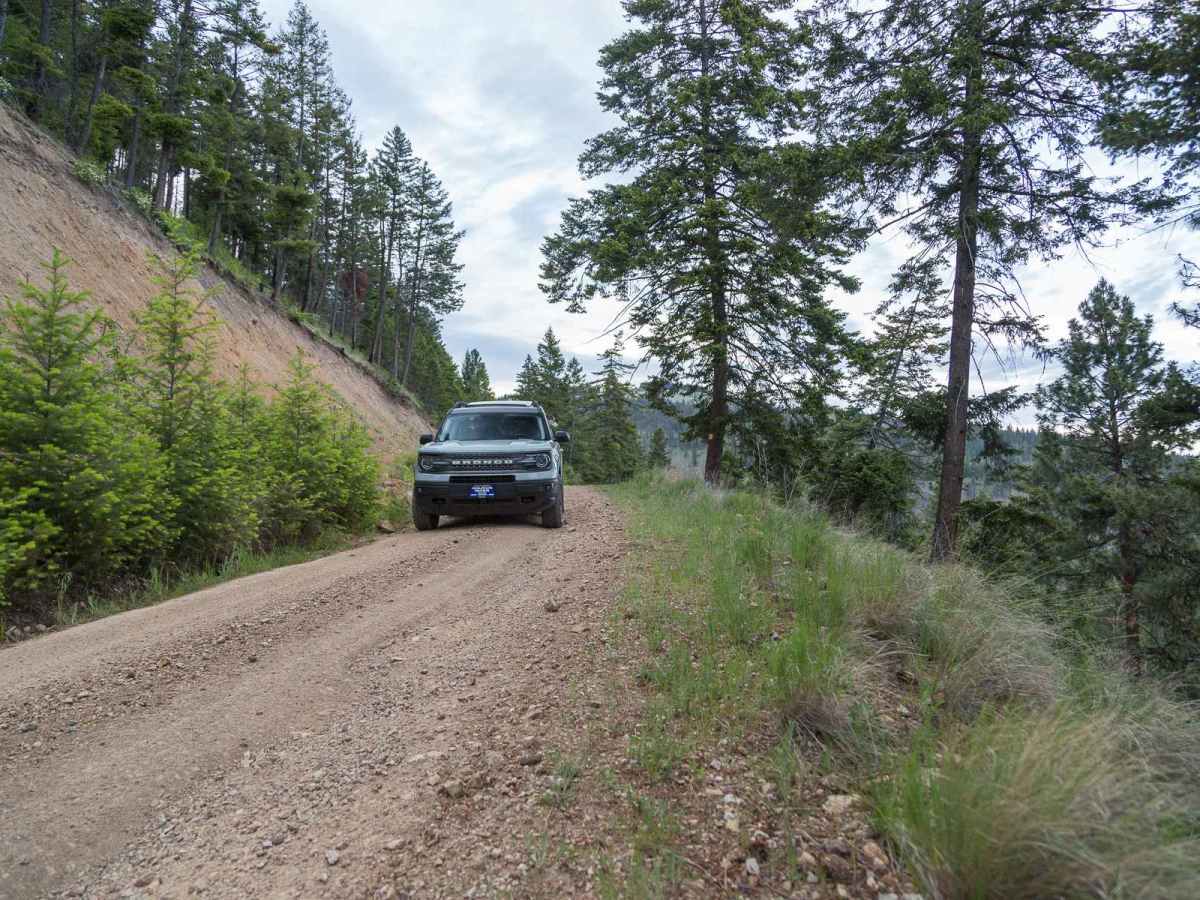
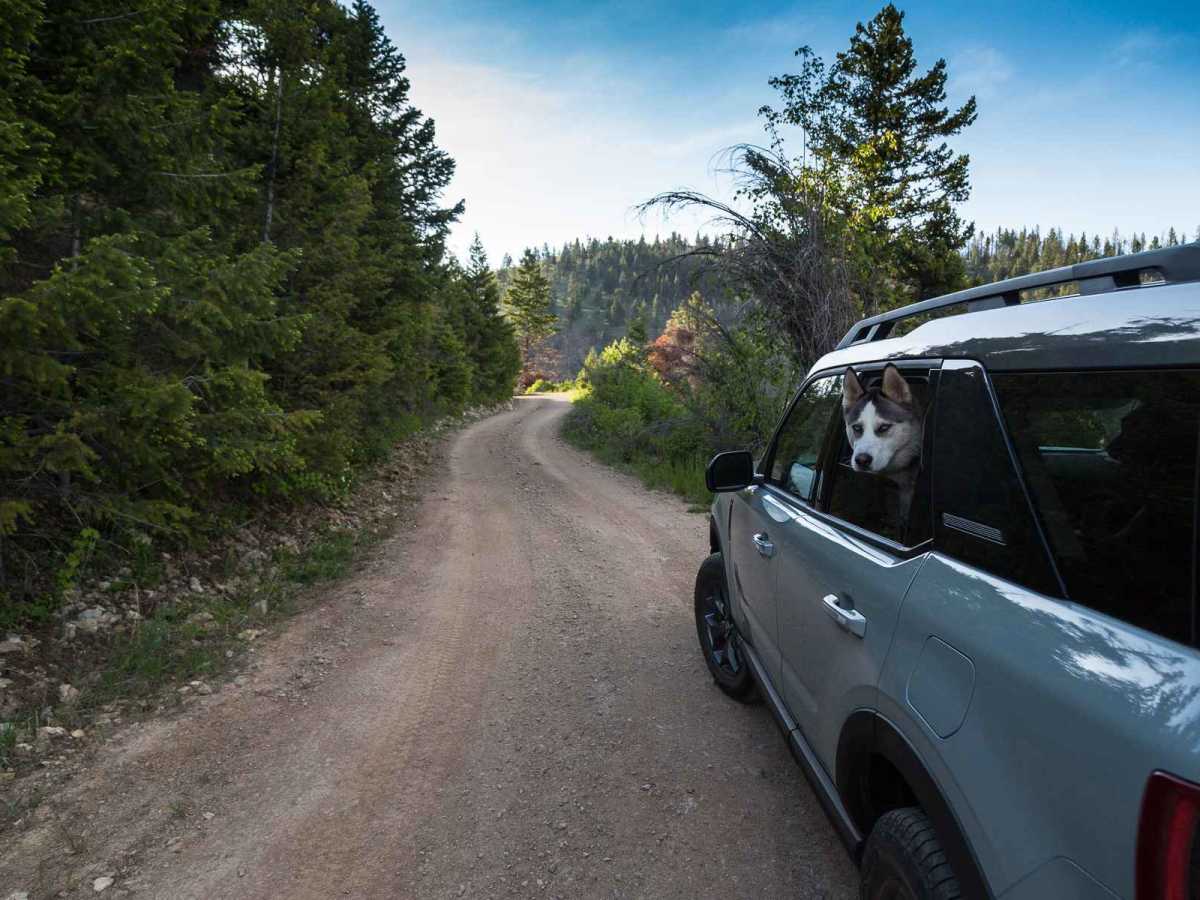
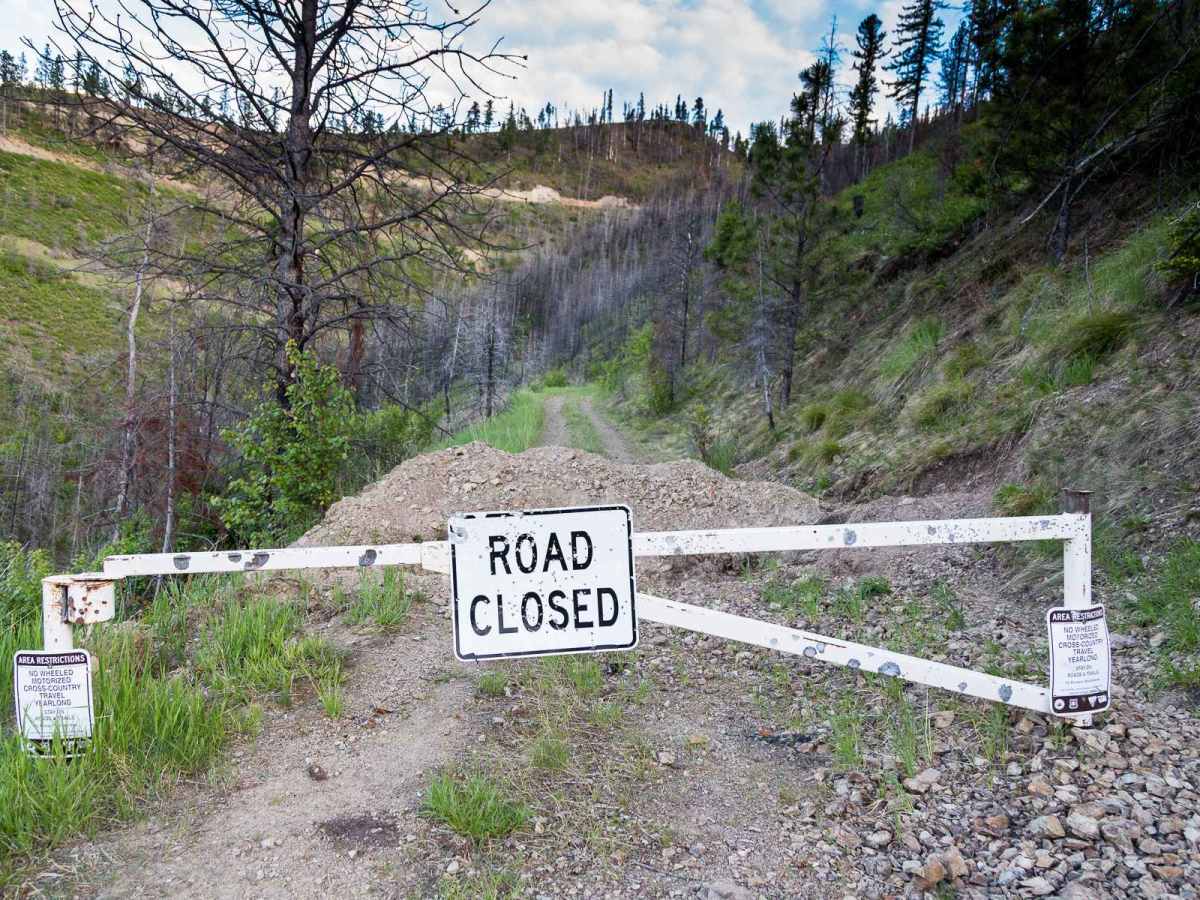
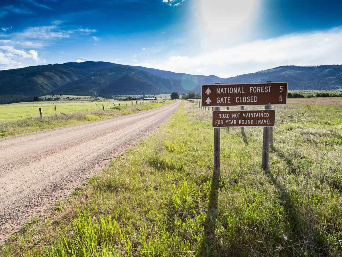
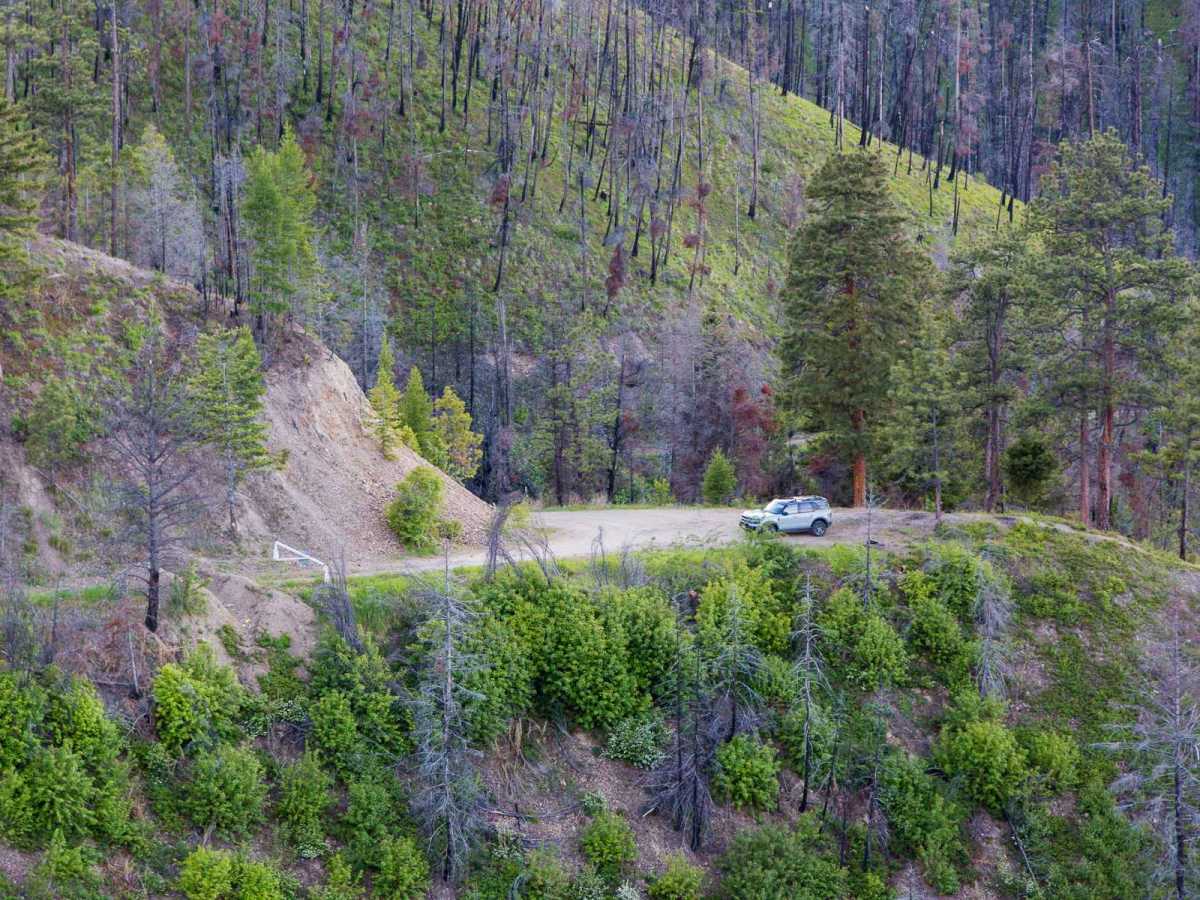
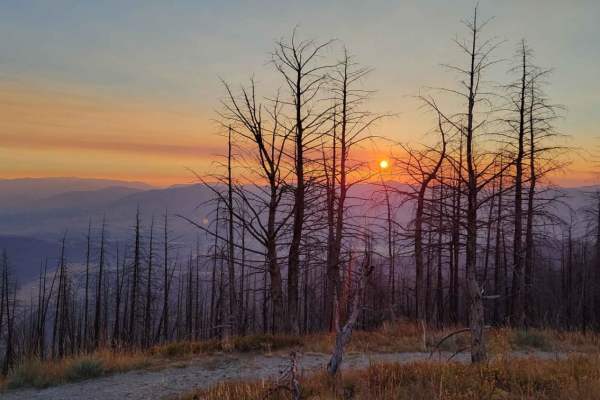
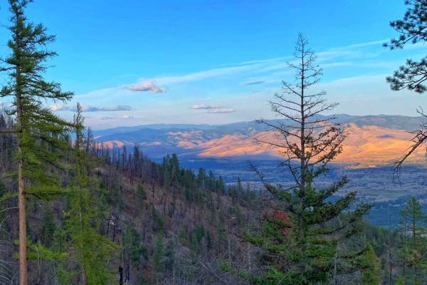
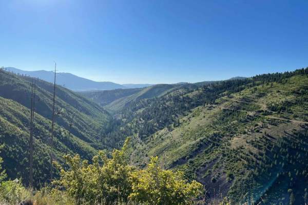
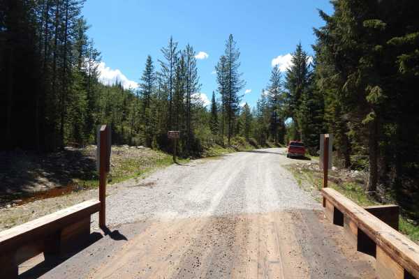
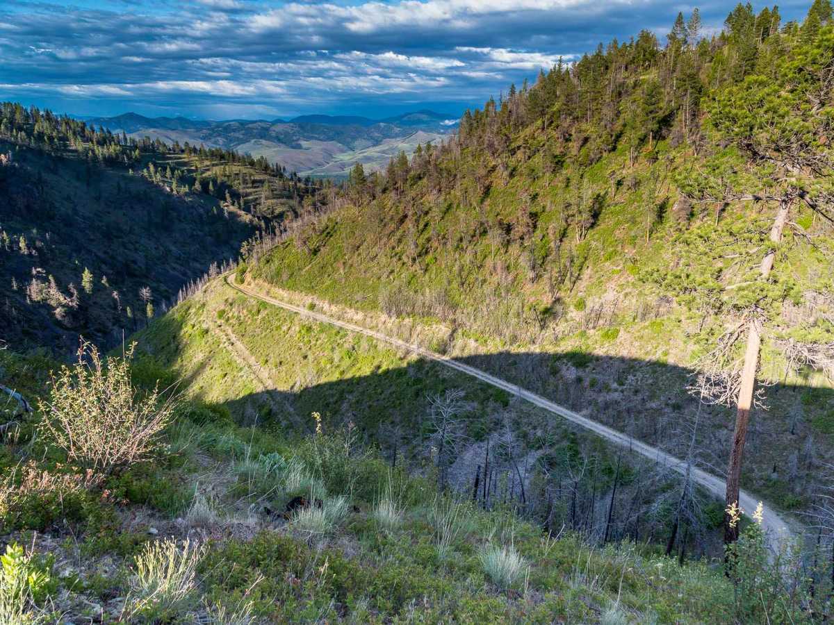
McClain Creek Road (FS 1311) is a scenic and easy four-wheel-drive route ideal for beginner offroaders, scenic drivers, and high-clearance crossovers looking to explore the beautiful Bitterroot Valley. Stretching approximately 4.1 miles with an elevation change from around 3,385 feet up to 4,718 feet, this route offers stunning canyon views and an intriguing look at local history. As the road winds up the mountain, it cuts directly across several ski runs that were cleared in the early 2000s during an attempt to develop the Bitterroot Resort. The trail officially ends at a final locked gate at the five-mile mark, where adventurers are treated to an impressive, expansive view of the surrounding canyon. The driving surface is primarily unpaved dirt and gravel, earning a technical rating of 2, which makes it highly accessible for stock SUVs, SxSs, and most standard four-wheel-drive vehicles. While the road is generally well-maintained and smooth, travelers should expect minor ruts, particularly during the spring run-off season when melting snow can wash out portions of the track. Additionally, snow tends to linger late into the spring at higher elevations, which can add a layer of challenge and slick conditions to an otherwise straightforward drive. Visitors should note that while this was historically the original route to Carlton Lake, it has been gated at the five-mile point since the 1990s, making it a pleasant out-and-back journey with ample opportunities to enjoy the quiet forested surroundings.

Photos of McClain Creek Road (FS 1311)

Difficulty

This is an easy route that most SUVs or crossover vehicles should be capable of making. The road holds snow late into the spring and the snow will provide an extra challenge.

History

Forest Service Road 1311 was the original route to Carlton Lake and was gated at the five-mile mark in the 1990s. Portions of the road were rebuilt as part of the Bitterroot Resort project in the early 2000s, but the original gated segments remain visible near the bottom.

Technical Rating

2

Status Reports

Add Status Report
Nicolas Petrini
May 06, 2025
2016 Yamaha TW200
Open
Normal
Kiel Unruh
Jul 14, 2024
2018 Honda CB500X
Open
NormalDusty
Ethan Abbott
May 02, 2024
2023 Kawasaki KLR650
Open
Normal
I live very close to this trail and the private land on ether side of the road all the way up to the gate has recently changed hands. The new property owner has been working with FWP and the Missoula County Sheriff’s Office to prosecute people abusing the easement road. He want everyone to stay only on the designated road and will be reporting violators to the police. He has the entire road under video surveillance that he monitors from the house. This is still a great road to ride please just do it respectfully or he will have FWP take away the road for everyone with a gate at the bottom.
Kendra Sorensen
Apr 26, 2023
Open
NormalMuddy/WetSnow/Ice

McClain Creek Road (FS 1311) Trail can be accessed by the following ride types:

  • Single Track
  • 50 Inch
  • 60 Inch
  • High Clearance
  • Full Width

Access Description

The road is gated at the five-mile mark. It is a public Forest Service road (FS 1311), but access beyond the final gate is restricted. It can hold snow late into the spring season.

McClain Creek Road (FS 1311) Map

The onX Offroad Difference

onX Offroad combines trail photos, descriptions, difficulty ratings, width restrictions, seasonality, and more in a user-friendly interface. Available on all devices, with offline access and full compatibility with CarPlay and Android Auto. Discover what you're missing today!

Open Trail Map