Trail Overview
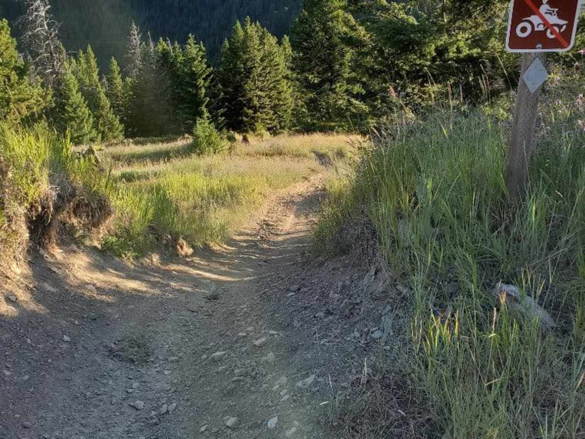
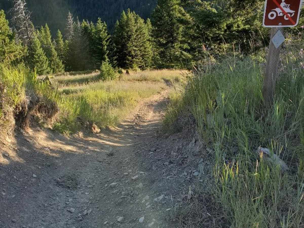
Grave Range Jeep Road is an exciting ridge-running route tailored for dirt bike riders and skilled offroaders looking for a scenic and challenging traverse across the Grave Creek Range near Missoula. Stretching approximately 13.4 miles, this rugged trail runs between Petty Mountain and Blue Mountain, offering panoramic views of the surrounding Lolo National Forest. The terrain features a mix of dirt and loose rock, with a maximum elevation reaching 6,994 feet and a minimum of 5,568 feet. Drivers should prepare for steep, loose, rocky hill climbs. The elevation gain totals over 4,000 feet, passing landmarks like Telephone Butte.
The trail requires high-clearance vehicles due to several off-camber sections, deep ruts, and narrow pathways that can make passage tight for full-sized trucks and SUVs. While dirt bikes and pedal bikes can complete a point-to-point connection, it functions as an out-and-back route for larger vehicles due to strict trail classifications and land management restrictions. Given its high-elevation nature, the route is best driven from late spring through fall when snow has cleared. Visitors should plan for technical spots rated at a moderate difficulty of 4, meaning four-wheel drive and low-range capabilities are highly recommended to safely navigate the steep gradients, which can reach angles up to 19 degrees.
Access Description
A valid permit or registration is required for off-highway vehicles (OHVs) operating on Montana forest service roads. Due to trail classifications, the full traverse is restricted to dirt bikes, pedal bikes, and hikers, meaning it functions as an out-and-back route for full-sized trucks and SUVs. Check the Lolo National Forest Motor Vehicle Use Map (MVUM) for seasonal gate closures, which typically occur during winter and wet spring months to prevent trail damage.

 Offroad