Trail Overview
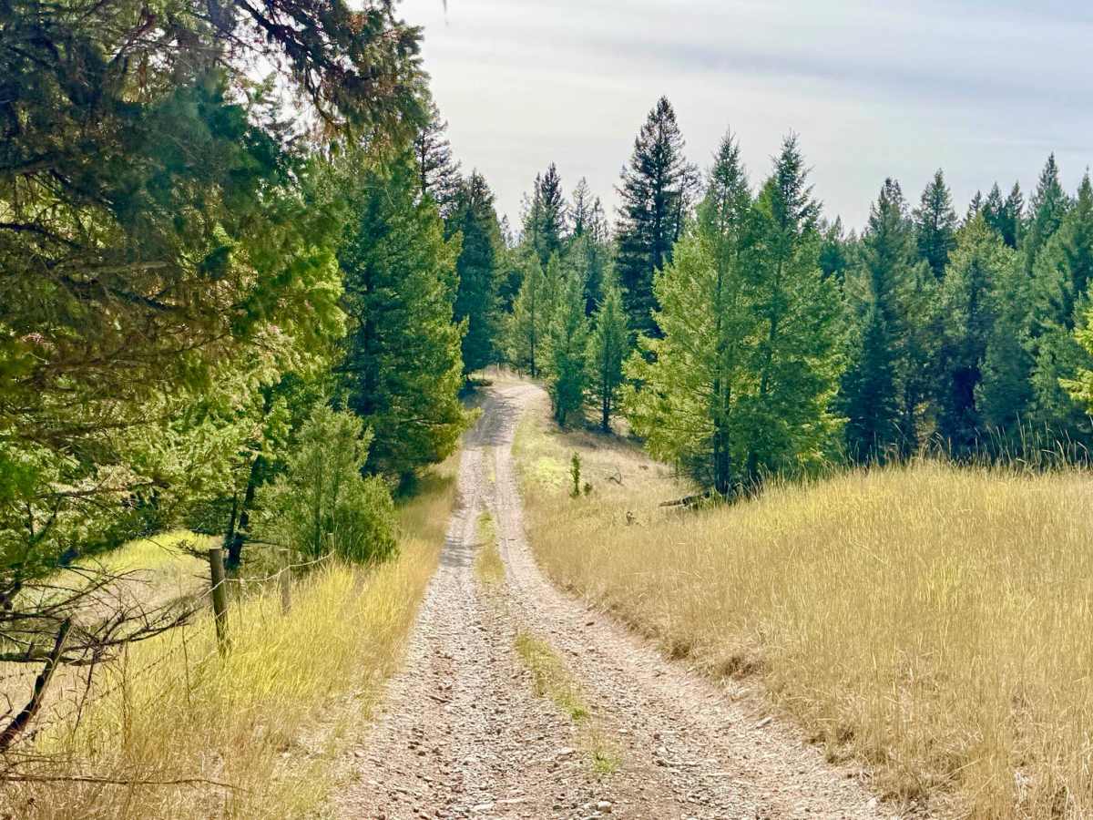
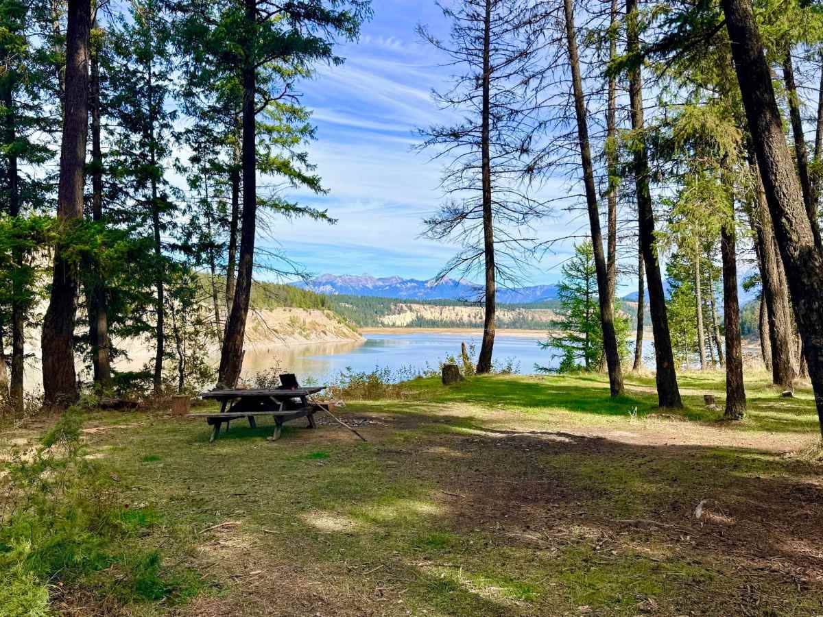
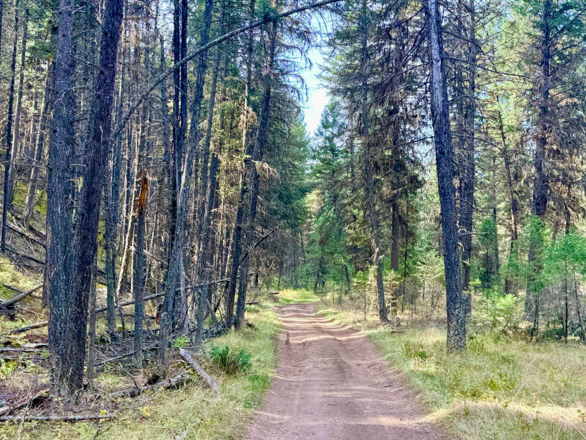
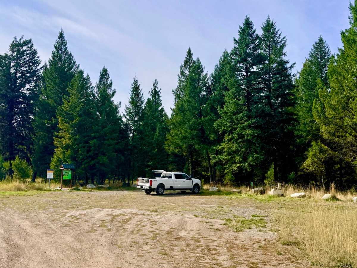
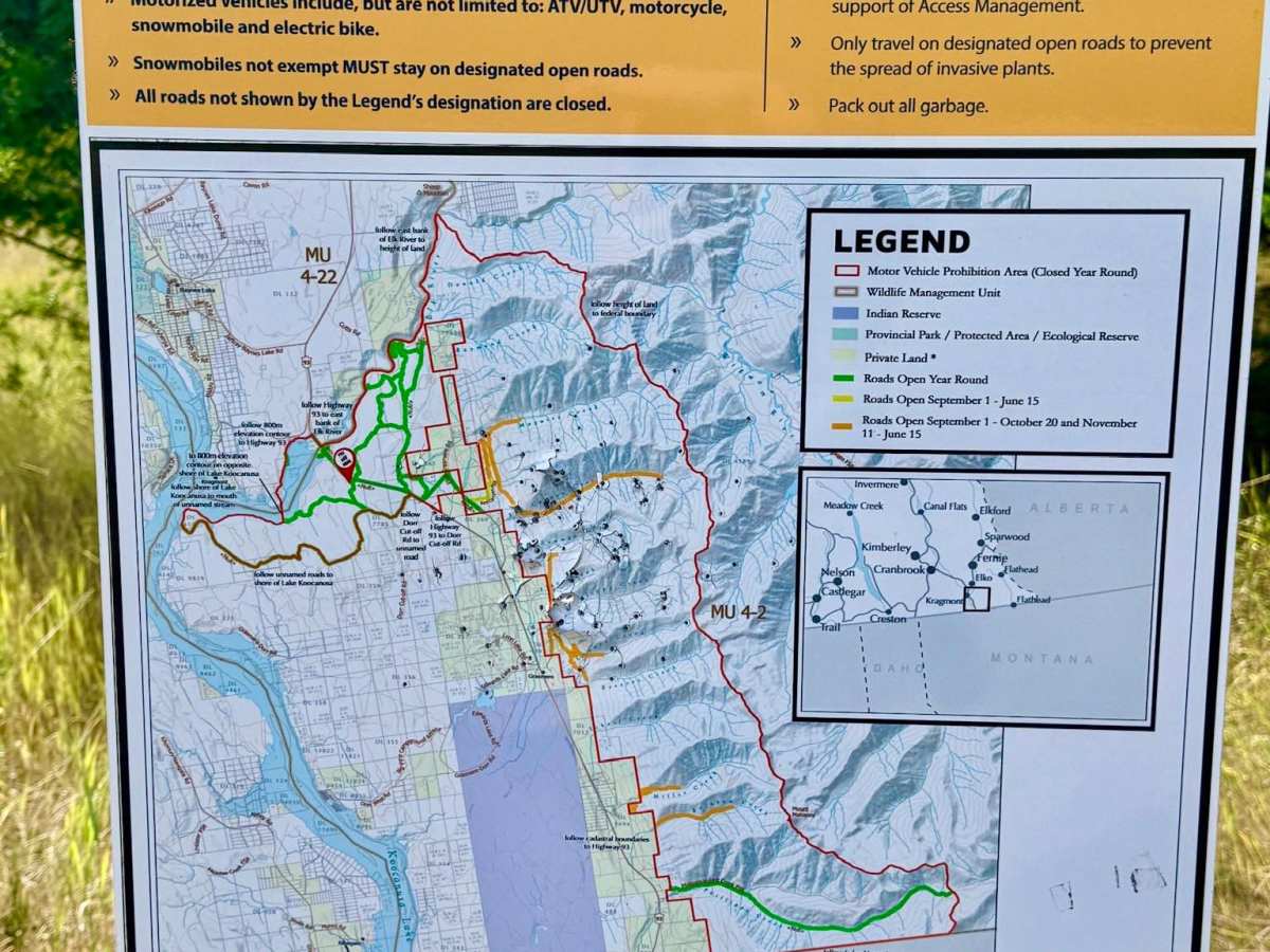
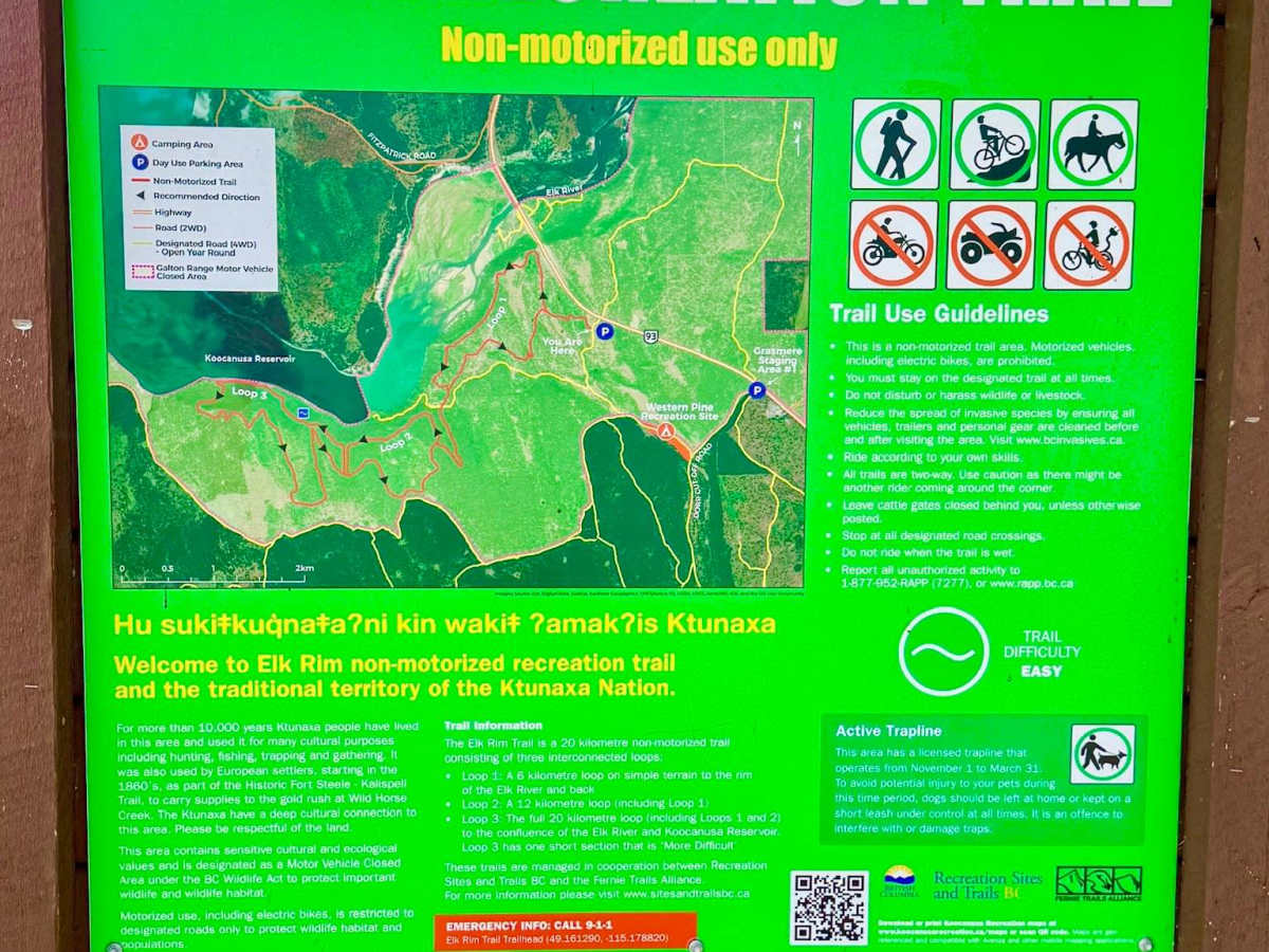
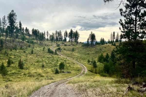
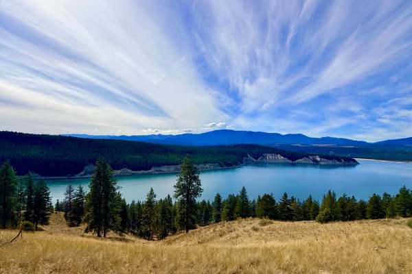
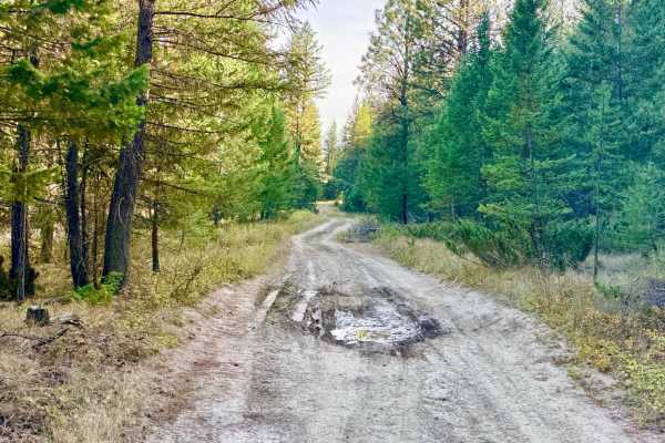
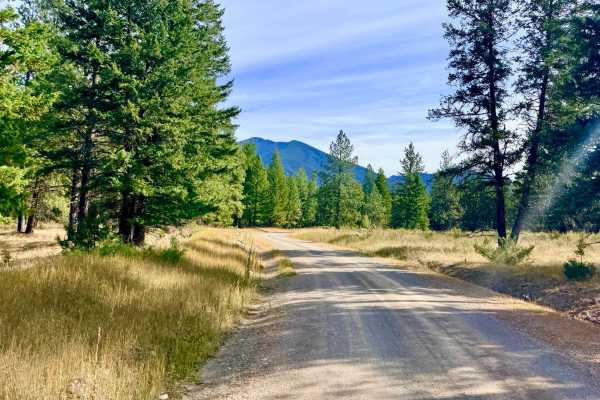
Situated on the scenic east side of Lake Koocanusa, the Elk Rim Access Trail takes you from the upper benchlands down to dramatic, elevated bluffs overlooking the water. At the start of the route, you will pass a designated staging and parking area with a pit toilet and an informational kiosk. Signage outlines the surrounding Elk Rim Recreation Area network, which serves hikers, mountain bikers, and horseback riders, and highlights seasonal trail closures designed to protect local wildlife and sensitive habitats. While many surrounding trails have seasonal restrictions, this main motorized access route remains open year-round (though it receives no winter maintenance). As you continue past the trailhead toward the water, the road winds down through the timber and narrows considerably, so drivers of full-size rigs should expect tight brush and minor "pinstriping" along the way. Because of the dense forest cover, pack a chainsaw, especially in spring or after heavy windstorms, as downed trees often block the corridor. The trail culminates high on the banks above the reservoir, rewarding you with a premier dispersed campsite featuring a picnic table, an established fire ring, and sweeping views over the water. If that prime lower spot is already claimed, a second dispersed campsite tucked a bit farther up the hill offers an even higher vantage point over the canyon and lake below. Drivers can expect a few bars of cell service that fade in and out along the route.
Difficulty
Most of the route is relatively straightforward, but it has intermittent deeper ruts, mud holes, and rocky stretches as you transition into the lower section. The 3/10 rating comes mainly from the steep, loose, rocky hill climb required to get back out of the lower bluff area on your return trip. High clearance and 4WD with good tires are recommended to maintain traction on the loose rock, and larger vehicles should be prepared for narrow sections with encroaching branches.
History
Located within the traditional territory of the Ktunaxa Nation, the eastern shores of Lake Koocanusa and the lower Elk River canyon have served as vital travel corridors and wintering grounds for wildlife and Indigenous peoples for millennia. Before the completion of the Libby Dam in Montana in 1972, which flooded the Kootenay River valley to create the 145-kilometre-long Lake Koocanusa reservoir, the Elk River tumbled through deep rock gorges to meet the free-flowing Kootenay River near the historic, now-submerged townsite of Waldo.