132a

Total Miles1.1
Technical Rating
3Easy
Best TimeSpring, Fall, Winter, Summer
Trail Type50" Trail
Accessible By
Open Trail Map

Trail Overview

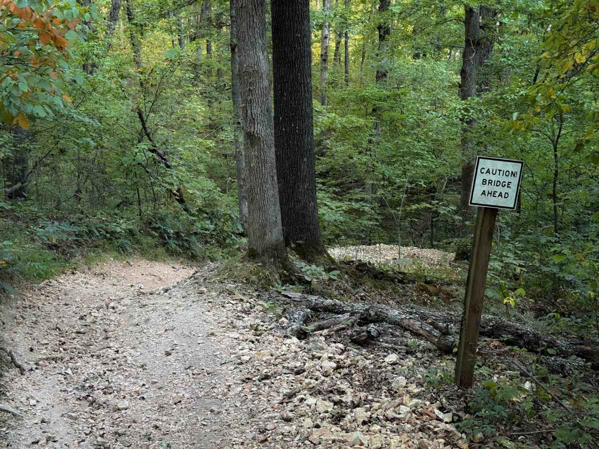
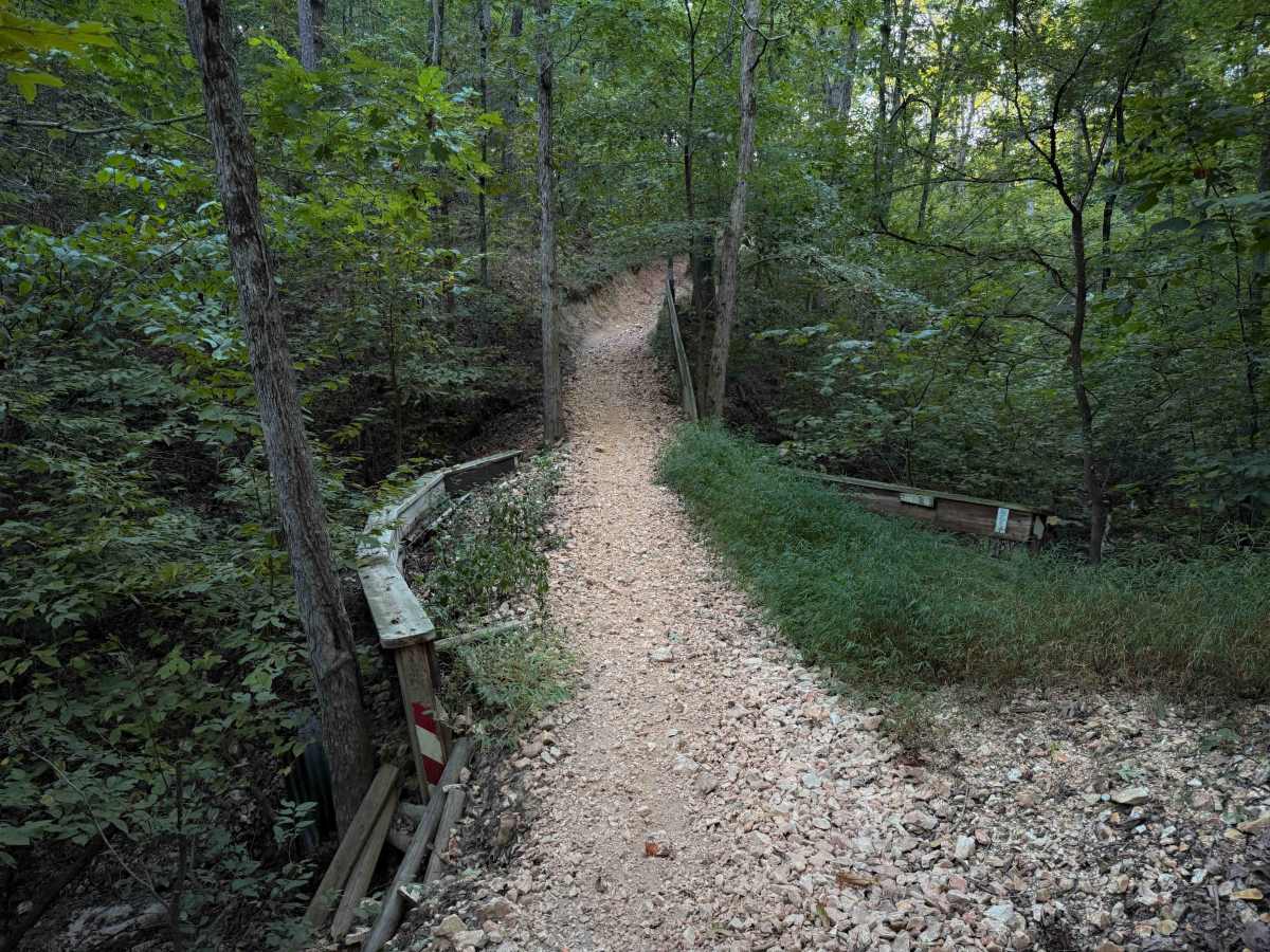
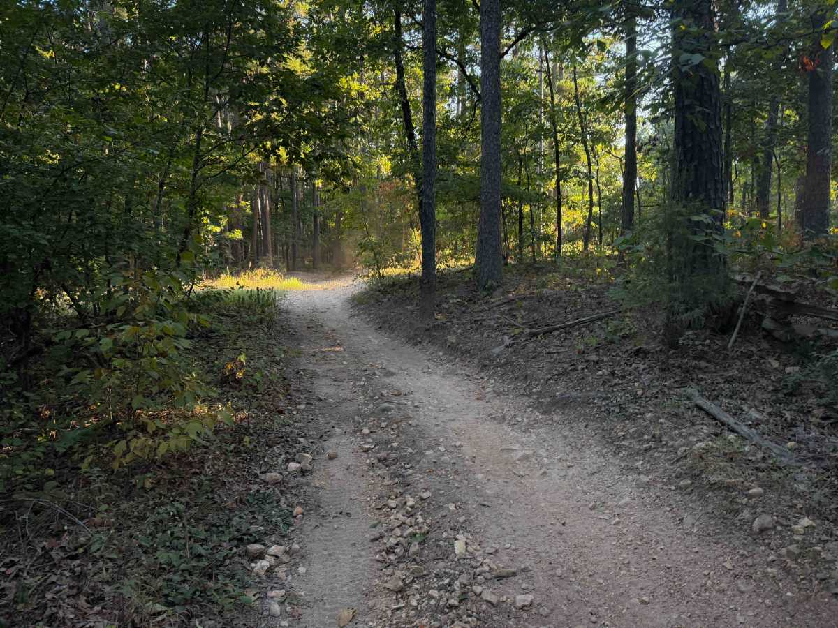
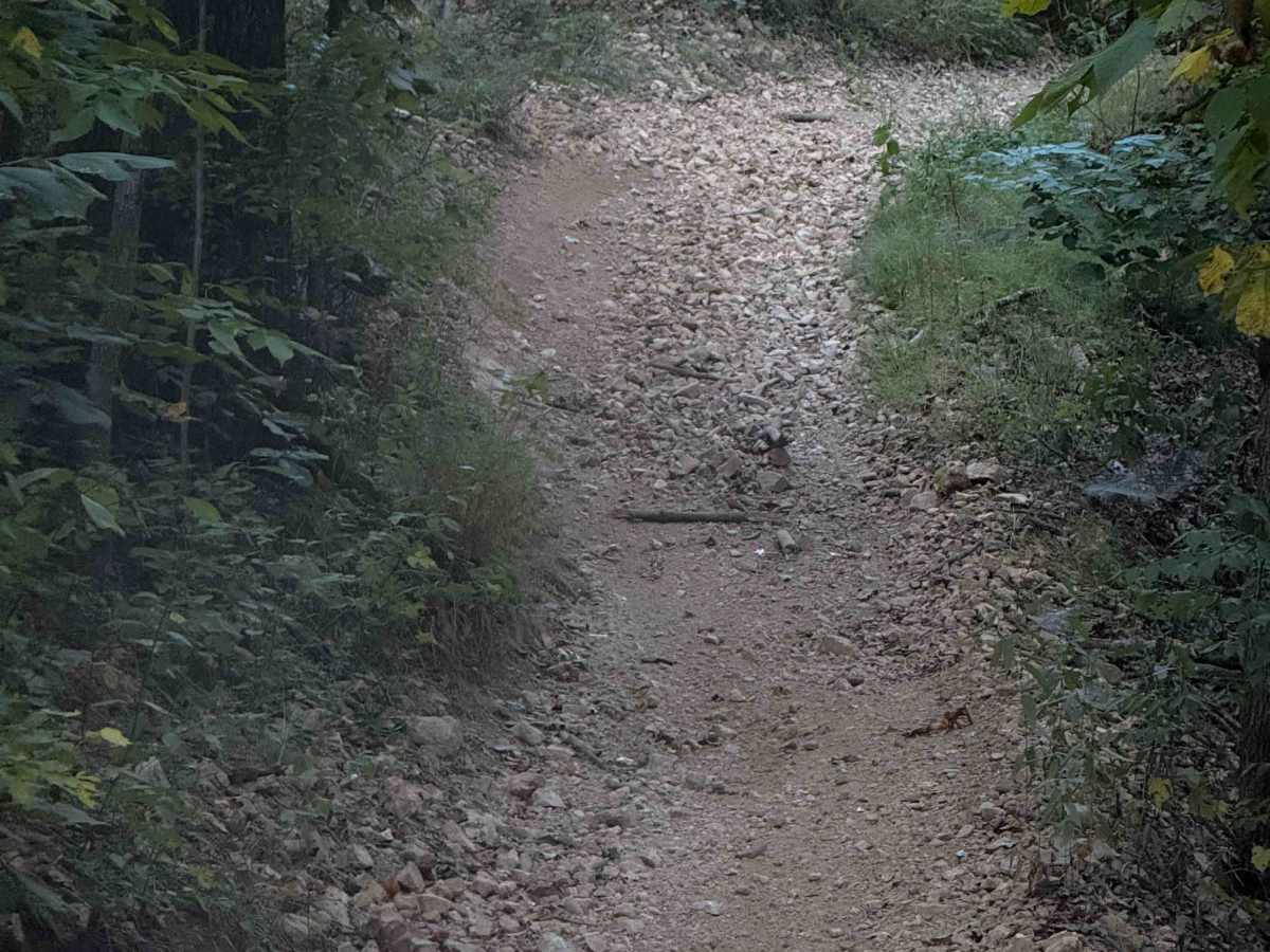
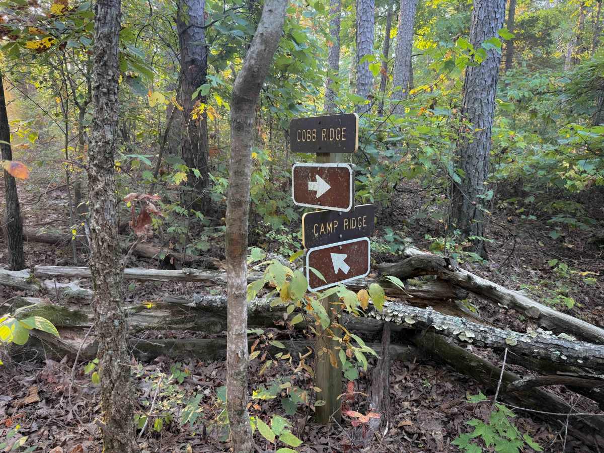
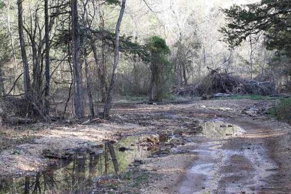
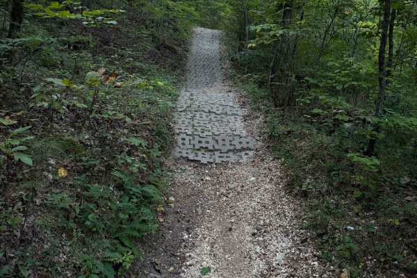
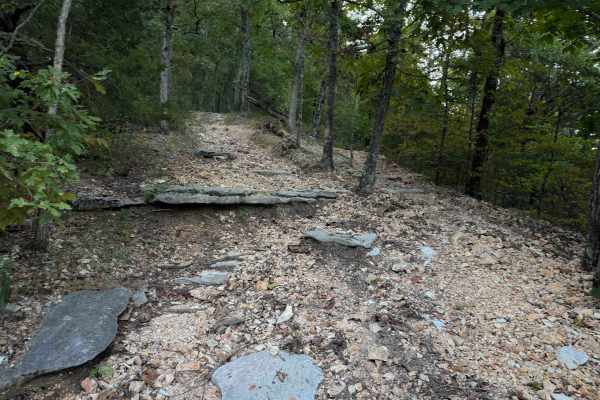
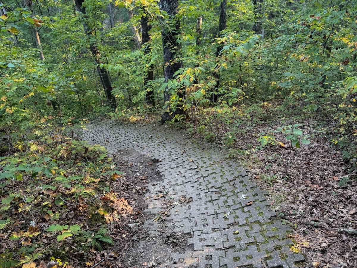
Chadwick Trail 132a is a 1.1-mile-long ATV trail that connects Trail 130 to the intersection with Trails 131 and 132. It mostly weaves through a tight forest on a narrow dirt path with minor loose rock and roots. There are cinder blocks reinforcing the path at times to prevent erosion, and the trail system is well maintained, with lots of signs to help follow the route. Near the west end, it goes over a narrow bridge, then side hills along a hillside where the trail can be narrow. It goes underneath some power lines as it passes a clearing, but mostly just keeps snaking through the forest, up and over small hills. The path is very gradual, with minimal elevation change.

Photos of 132a

Difficulty

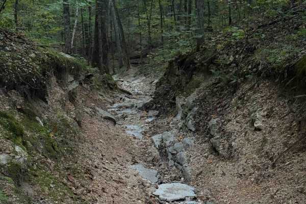
This is an easy trail because it only has minor technical features such as short steep spots, loose rock, and roots, but no major obstacles. Although designated for ATVs, it will likely be very tight and narrow for 50” vehicles in the ravines and on the hillsides.

Technical Rating

3

132a Trail can be accessed by the following ride types:

  • Single Track
  • 50 Inch

132a Map

The onX Offroad Difference

onX Offroad combines trail photos, descriptions, difficulty ratings, width restrictions, seasonality, and more in a user-friendly interface. Available on all devices, with offline access and full compatibility with CarPlay and Android Auto. Discover what you're missing today!

Open Trail Map