Trail Overview
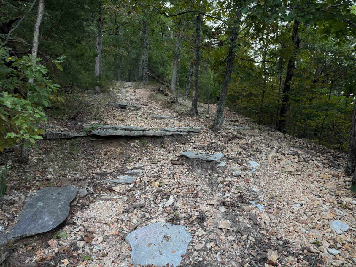
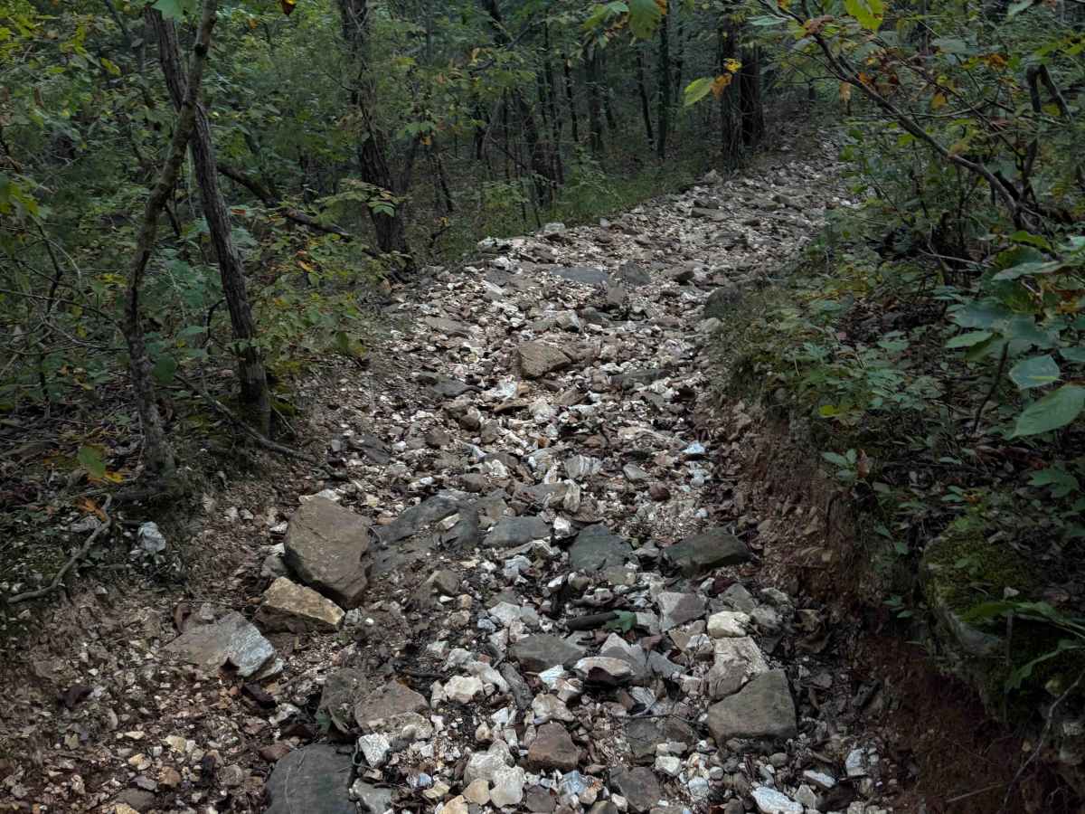
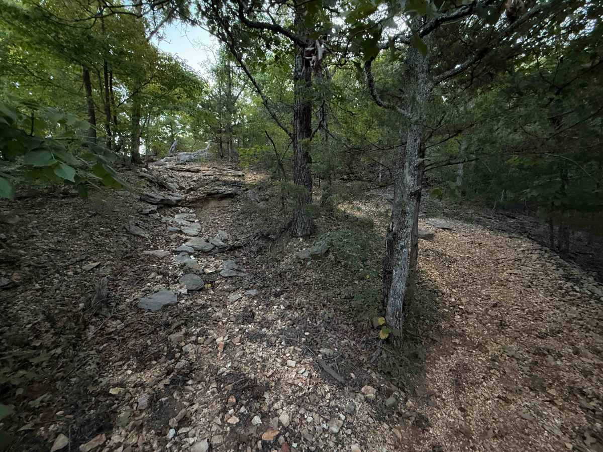
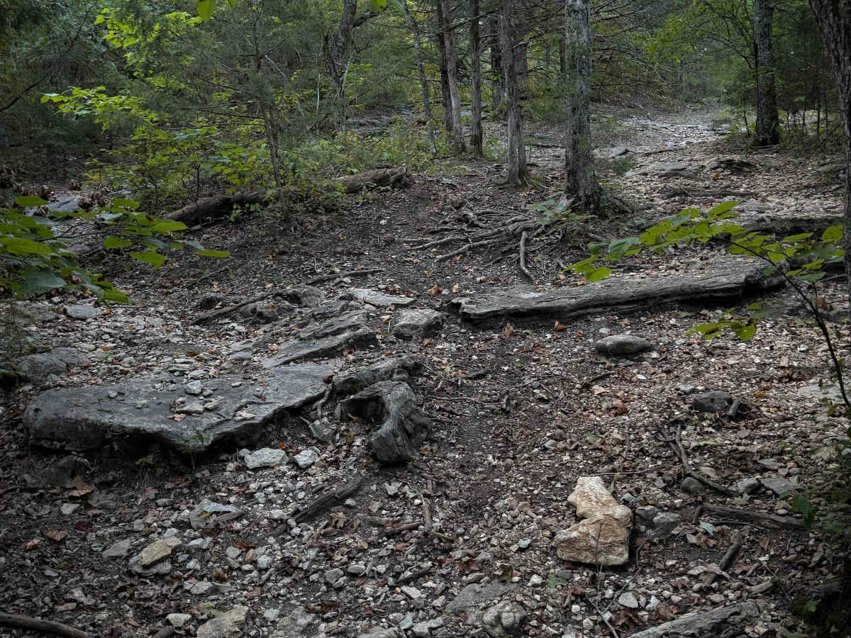
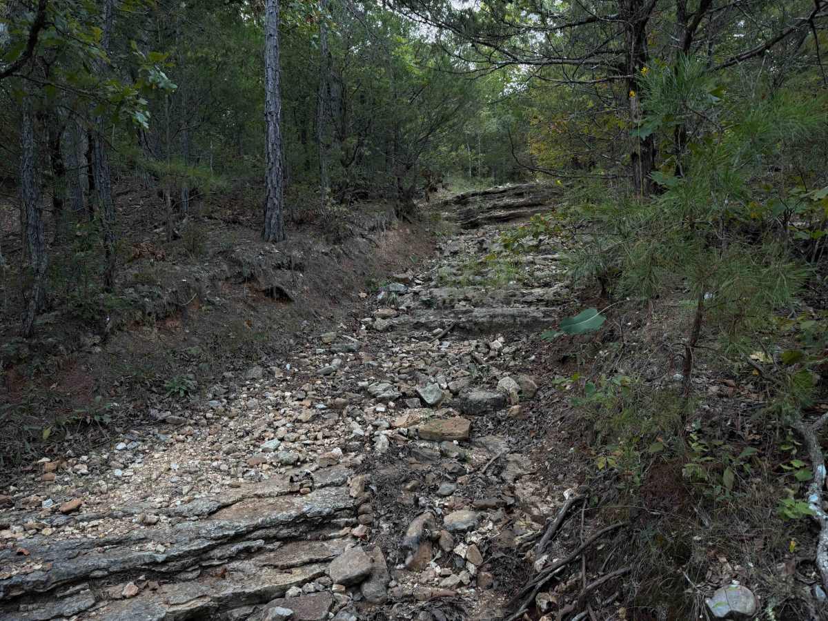
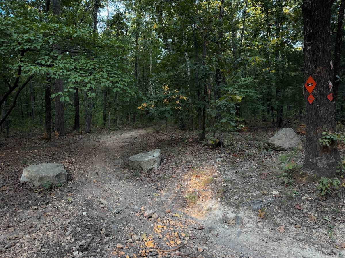
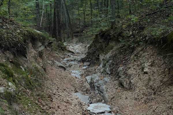
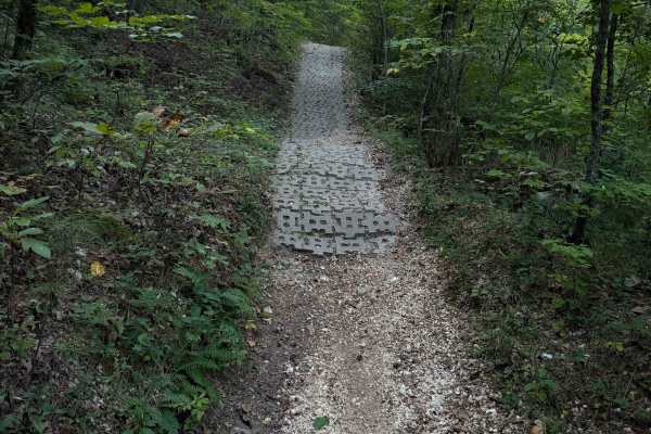
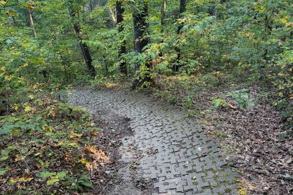
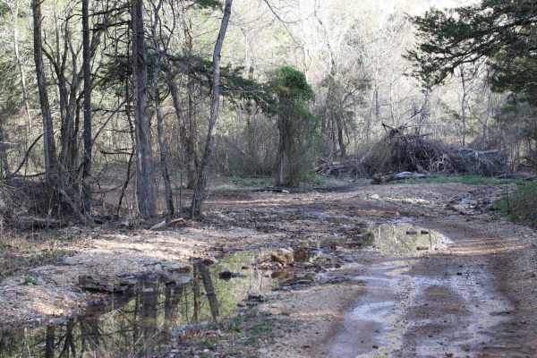
Chadwick Trail 126 is a 3-mile-long route through the Chadwick Motorized Trail System through a forest of hickory and oak. Going clockwise, it starts off Trail 101, just west of the KC Pavilion Trailhead. The route is mostly gradual, but it has several rock features that make it more of an intermediate route. Although designated for ATVs, it’s a narrow trail that looks mostly trafficked by dirt bikes. Trees closely line the trail, with decaying leaves and small downed branches on the ground. It rides on a little ridge top and through ravines. There are short rock ledges and drop-offs from embedded slabs of rock and embedded boulders, often multiple ledges in a row. These ledges will be difficult for a quad trying to articulate through the narrow obstacles that require tight maneuvering through the trees and rocks. The trail goes into a troughed ravine that is narrow, over tons of loose rocks all packed down into the ravine, between short dirt banks. The forest is overgrown at times, and it looks lightly ridden. There is a rocky climb up a narrow ravine that makes it more difficult, with a tight turn up a rutted-out hill with rock layers. It gets really narrow on a shelf on a hillside that will be tricky for ATVs. The loop ends on Lookout Road.

 Offroad