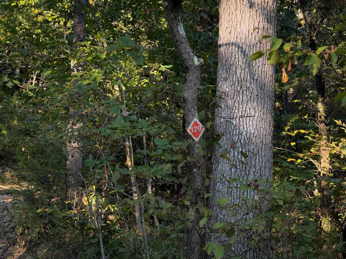
129

Total Miles0.8
Technical Rating
3Easy
Best TimeSpring, Summer, Fall, Winter
Trail Type50" Trail
Accessible By
Open Trail Map

Trail Overview

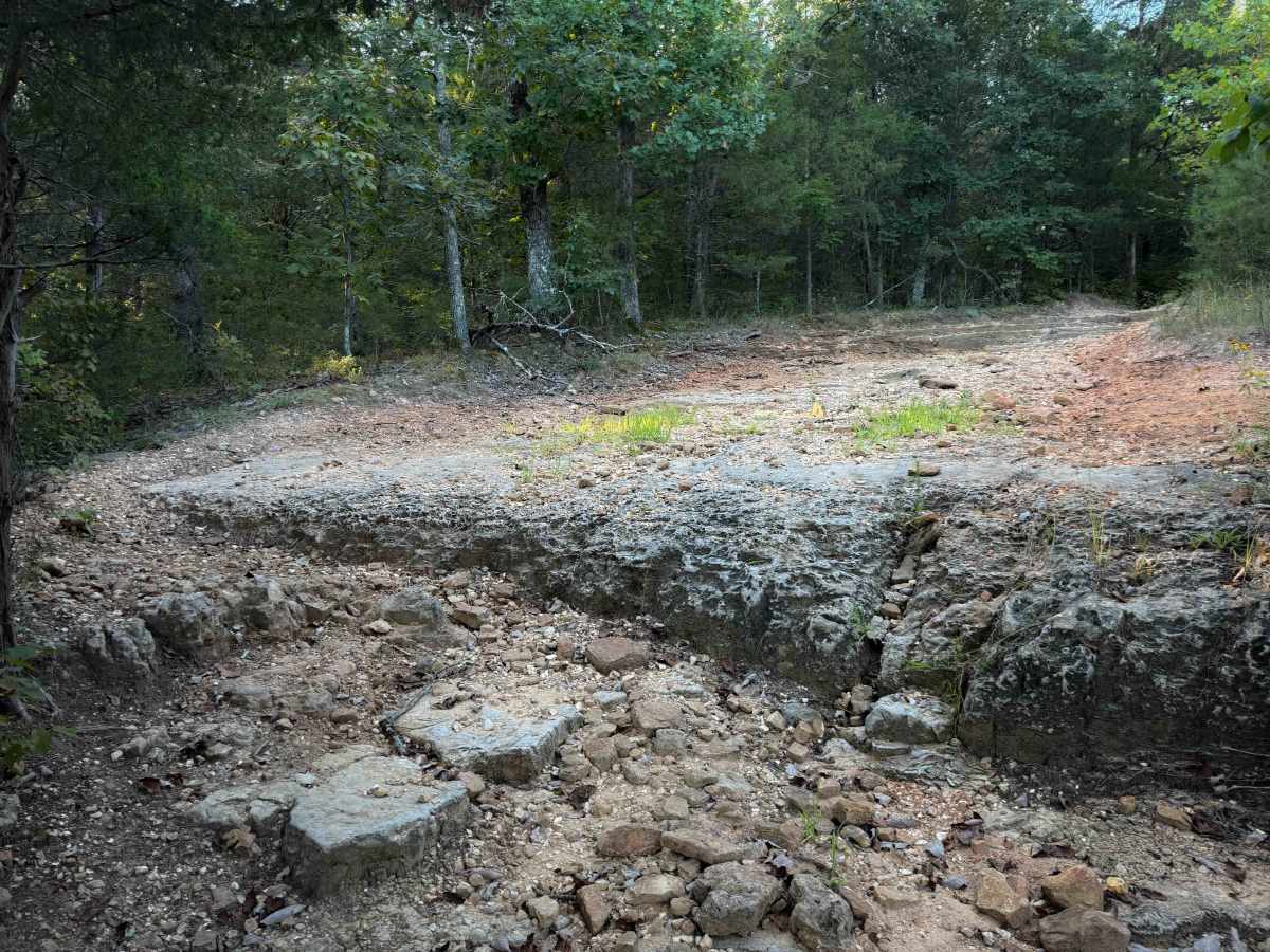
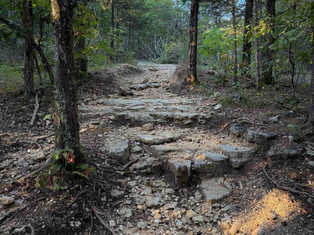
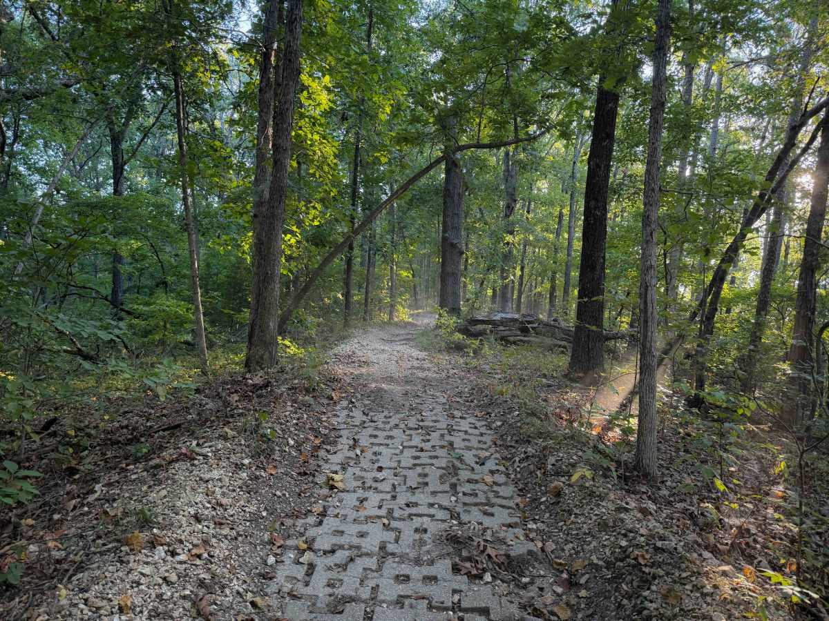
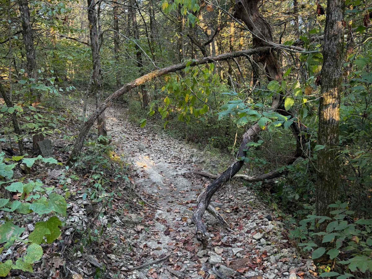
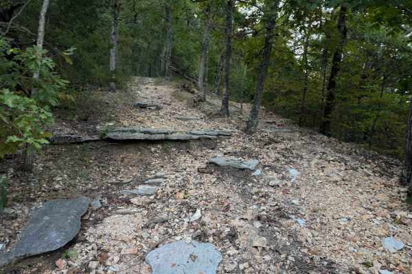
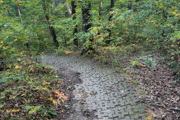
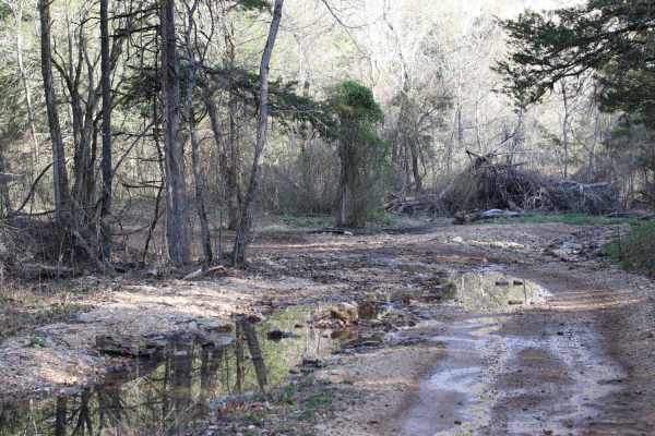
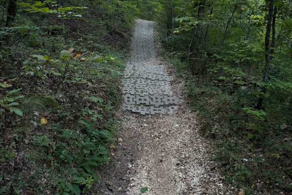
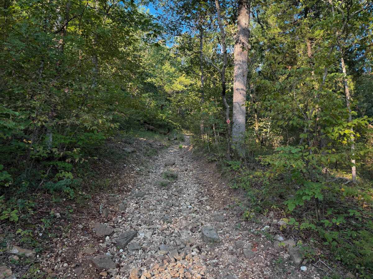
Chadwick Trail 129 is mostly a gradual climb from north to south, gaining about 260 feet in elevation over .8 miles. It’s a very narrow trail traversing up a hillside, with lots of chunky loose rock and slabs of rock. There are roots sticking out and tree gaps that would likely be quite narrow for an ATV. There are a couple of short rock ledges within tight turns through the trees, followed by several more moderate rock ledges. A tree was down at the top of a climb, but small enough to ride over. It goes on a little ridge line on a hilltop through hop, hornbeam, and oak trees, and ends on Lookout Road north of the Trailhead.

Photos of 129

Difficulty

This is an easy trail as it has mild challenges such as short ledges under a foot tall, lots of loose rock, and narrow terrain. Although designated for ATVs, it will likely be very tight and narrow for 50” vehicles in the ravines and on the hillsides.

Technical Rating

3

129 Trail can be accessed by the following ride types:

  • Single Track
  • 50 Inch

129 Map

The onX Offroad Difference

onX Offroad combines trail photos, descriptions, difficulty ratings, width restrictions, seasonality, and more in a user-friendly interface. Available on all devices, with offline access and full compatibility with CarPlay and Android Auto. Discover what you're missing today!

Open Trail Map