Trail Overview
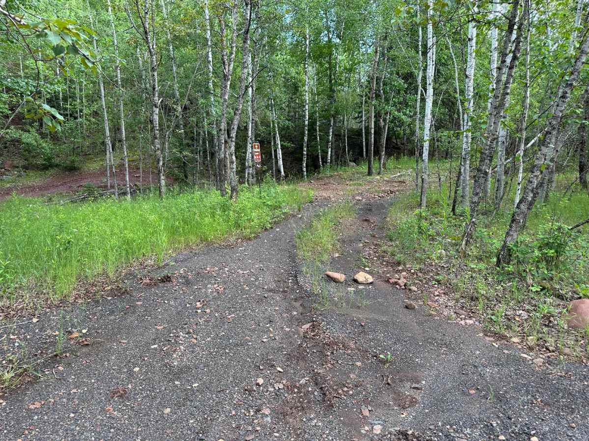
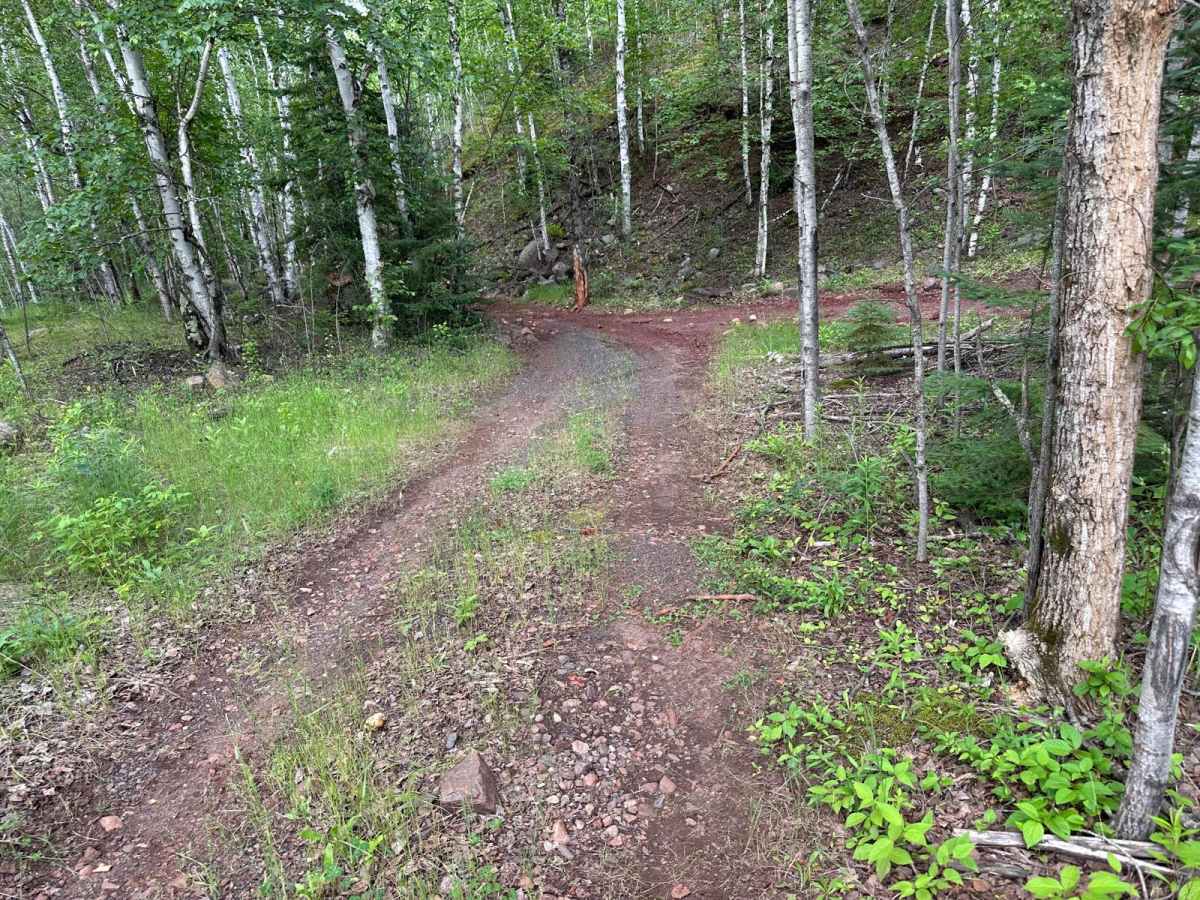
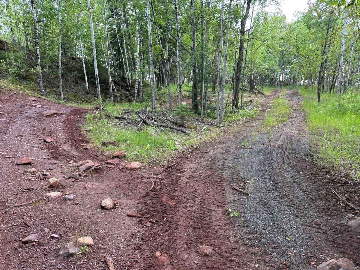
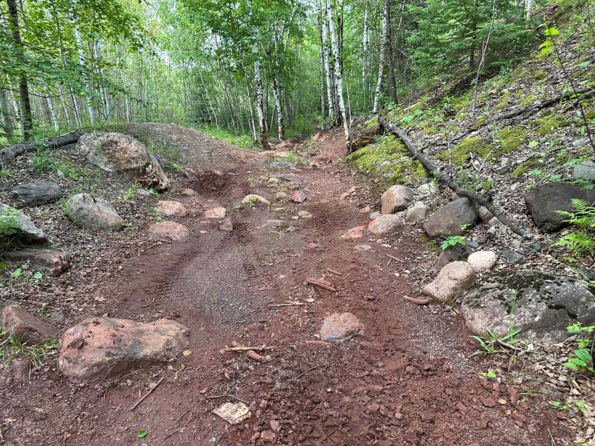
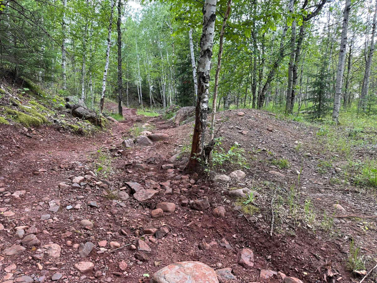
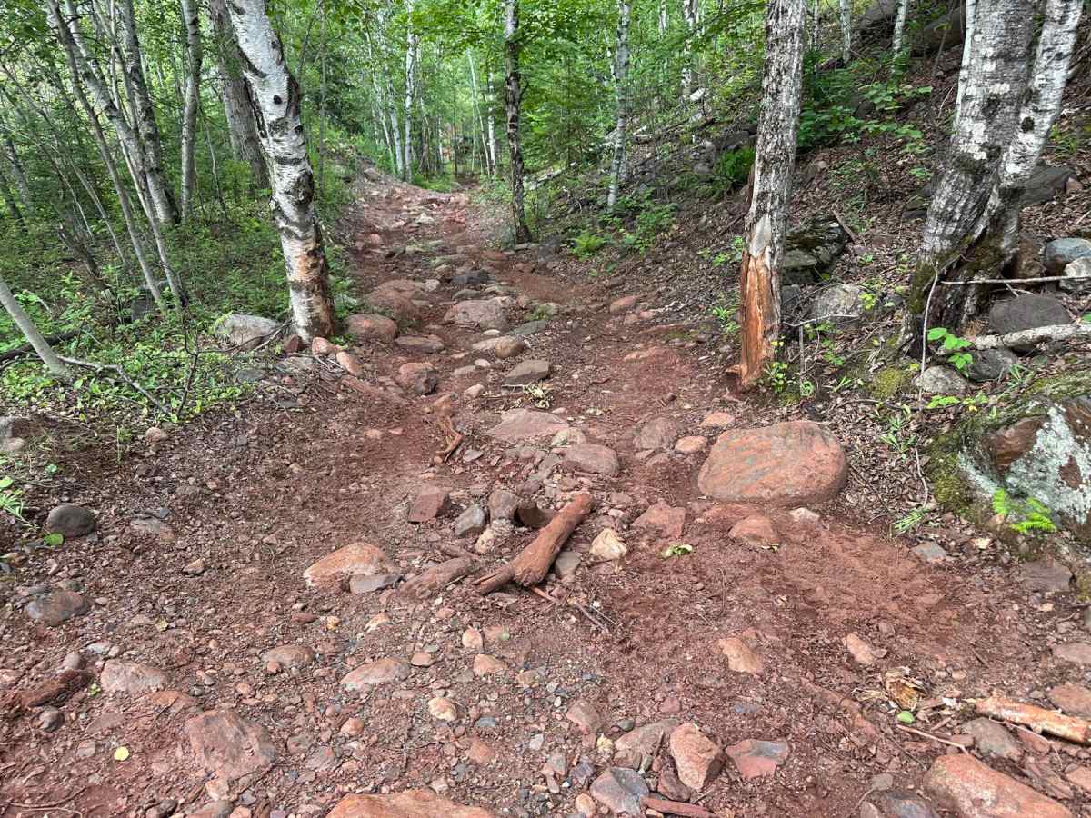
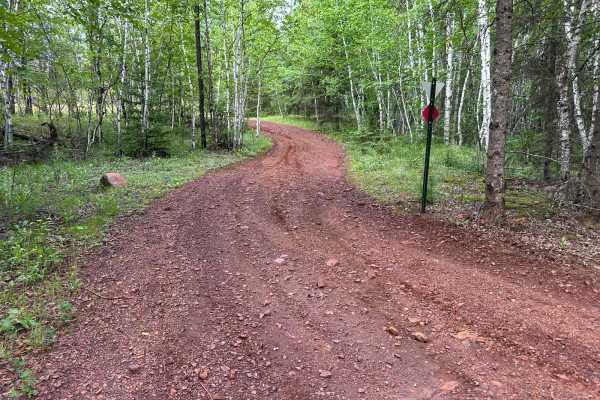
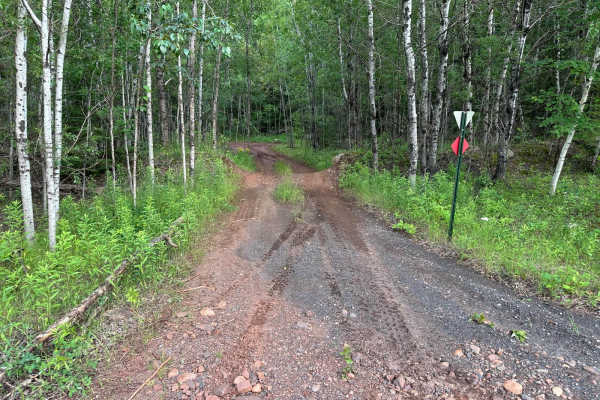
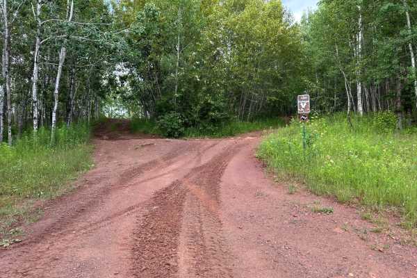
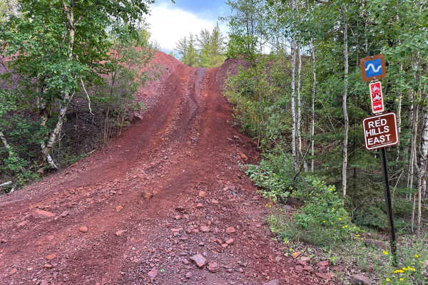
This trail primarily features a dirt base and offers a range of line choices to accommodate different driver preferences and vehicle capabilities. At one entrance, you'll encounter a moderate mud hole, which can become more challenging after recent rainfall. As you move along the trail, you'll come across several rock obstacles scattered throughout, with some reaching up to two feet tall. However, many of these rock sections have alternate bypass lines, allowing drivers to avoid the more difficult terrain if desired. The multiple route options make this a versatile trail, suitable for both moderately built rigs and more capable crawlers.
Difficulty
There is a dirt base with a mud hole at one entrance and rocks up to two feet tall in spots. Drivers can choose easier lines to avoid tougher sections. Most high clearance 4WDs should handle this trail fine, especially with careful tire placement.
History
The Iron Range OHV Recreation Area was built on reclaimed mining land, once part of the rich Mesabi Iron Range that fueled U.S. steel production for over a century. Today, this 1,200+ acre site blends industrial history with outdoor adventure, offering a rare chance to ride through the remnants of Minnesota's mining legacy.

 Offroad