Trail Overview
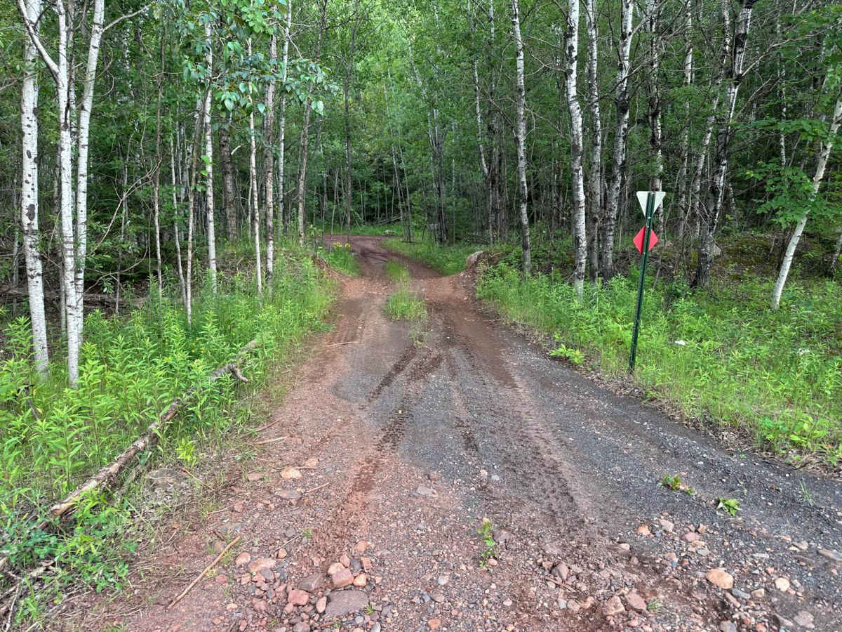
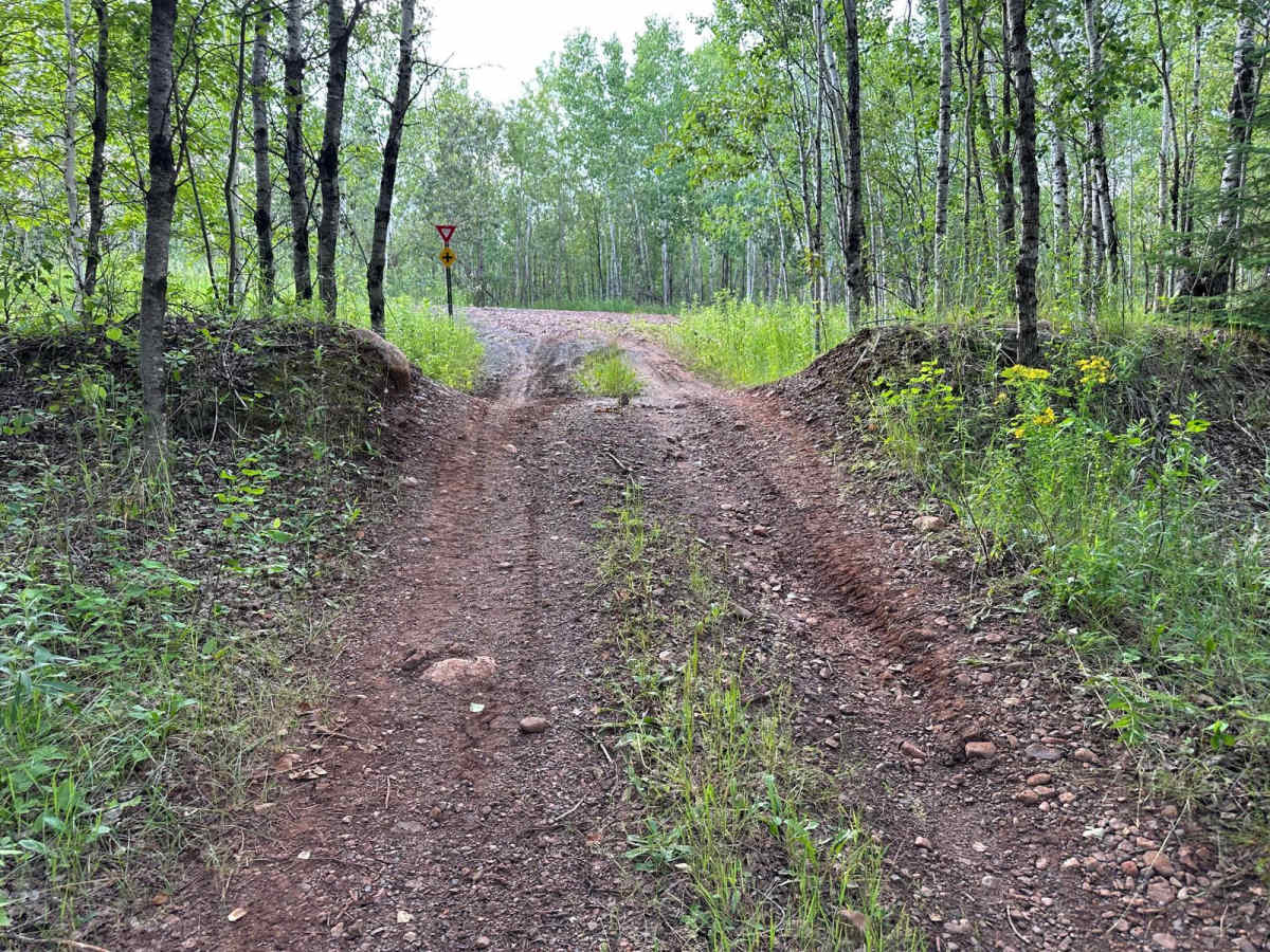
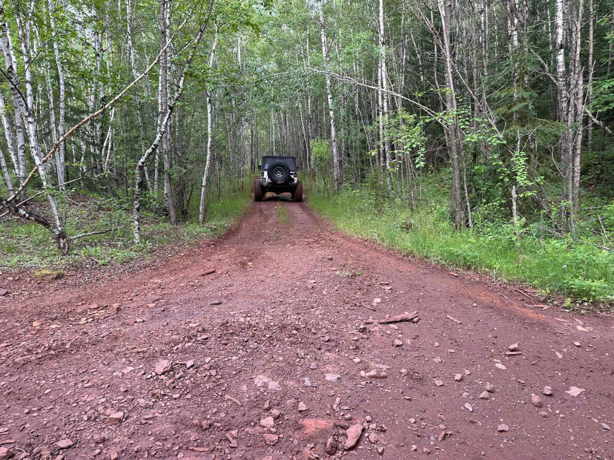
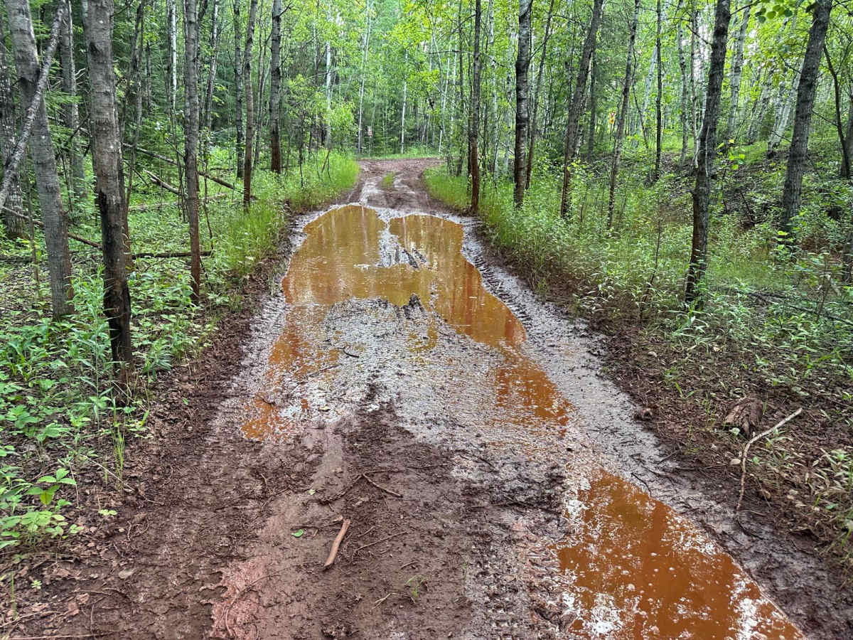
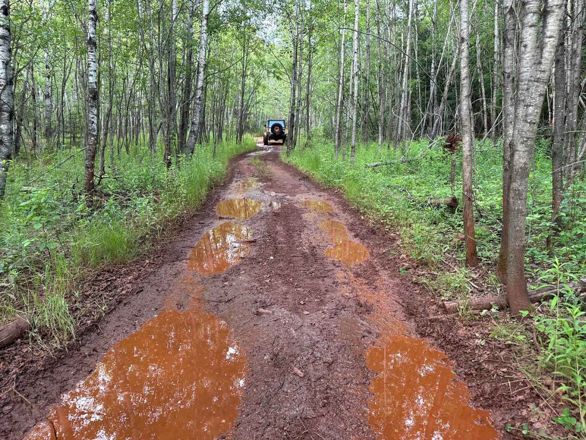
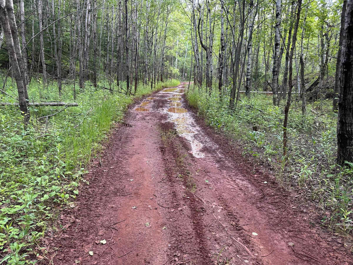
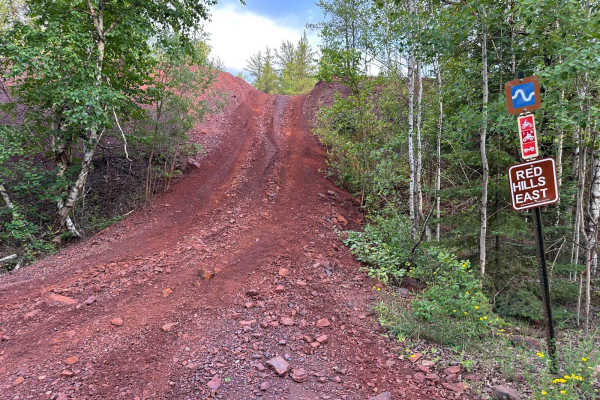
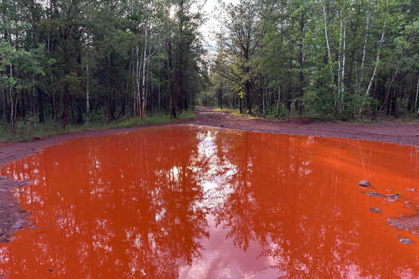
This trail serves as a connector route leading you directly to the entrance of Tailpipe Lane. It features a mostly dirt base and is fairly easy to navigate for most off-road vehicles. Along the way, you'll encounter several mud puddles that can become deeper after recent rainfall. While these puddles may look intimidating at first glance, most have a solid bottom and are passable with careful driving. The trail winds through lightly wooded terrain and is wide enough for most rigs. There are no significant rock obstacles or technical challenges, making it accessible for drivers of all experience levels.
Difficulty
This is an easy trail with no major obstacles. While there are some deeper mud puddles, they have solid bottoms and are generally easy to cross. Suitable for stock 4x4s and drivers of all experience levels.
History
The Iron Range OHV Recreation Area was built on reclaimed mining land, once part of the rich Mesabi Iron Range that fueled U.S. steel production for over a century. Today, this 1,200+ acre site blends industrial history with outdoor adventure, offering a rare chance to ride through the remnants of Minnesota's mining legacy.