Trail Overview
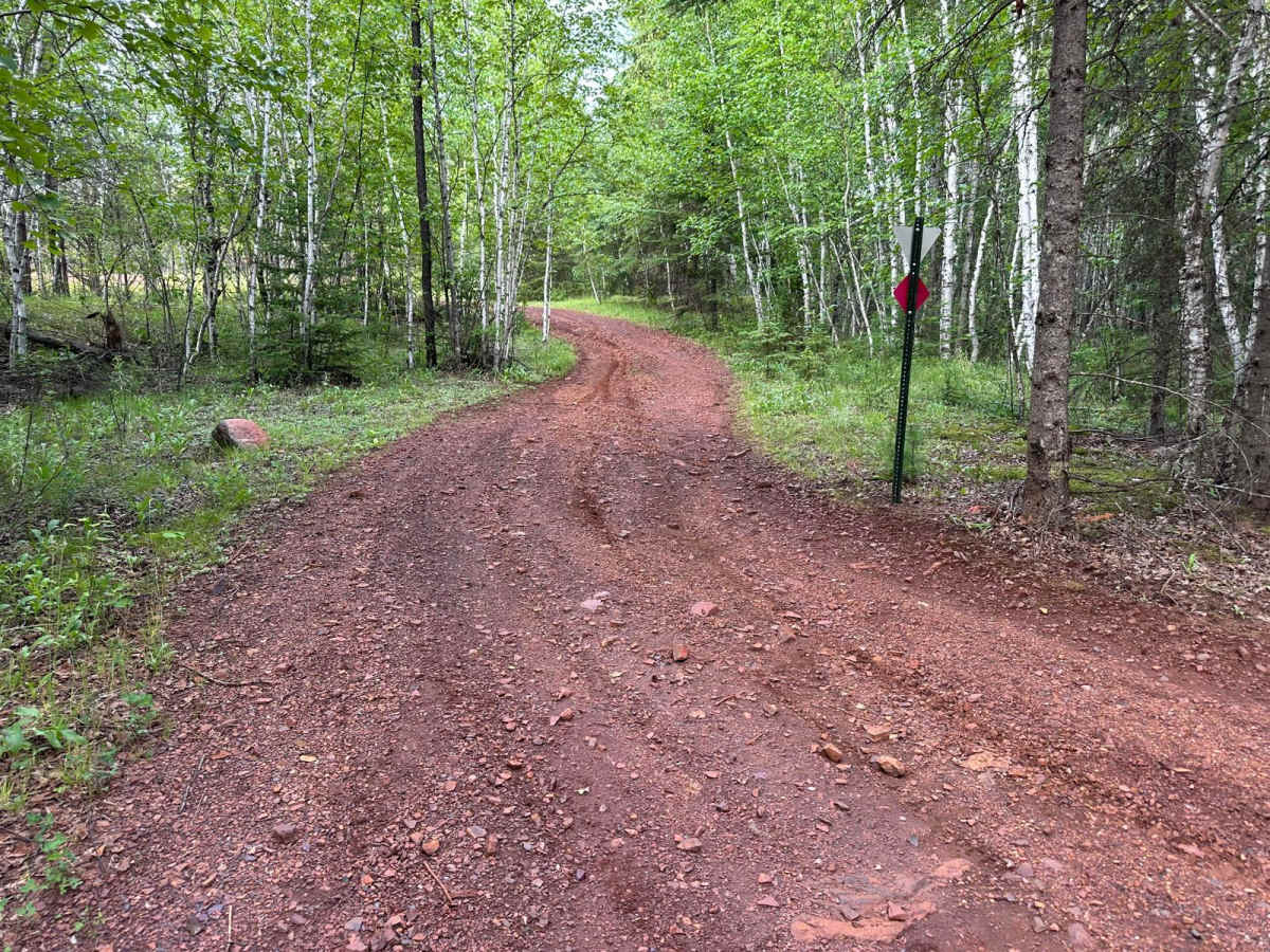
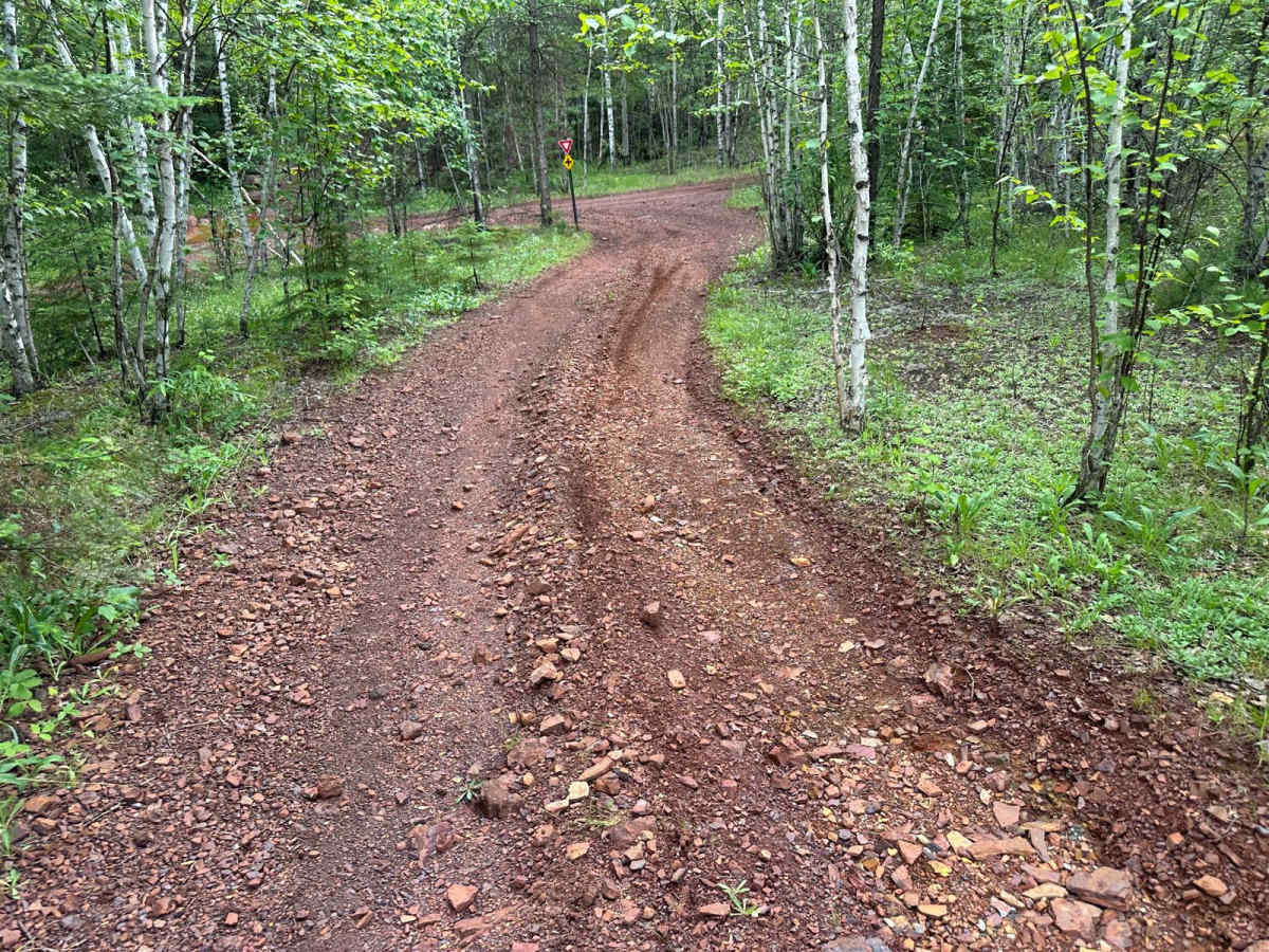
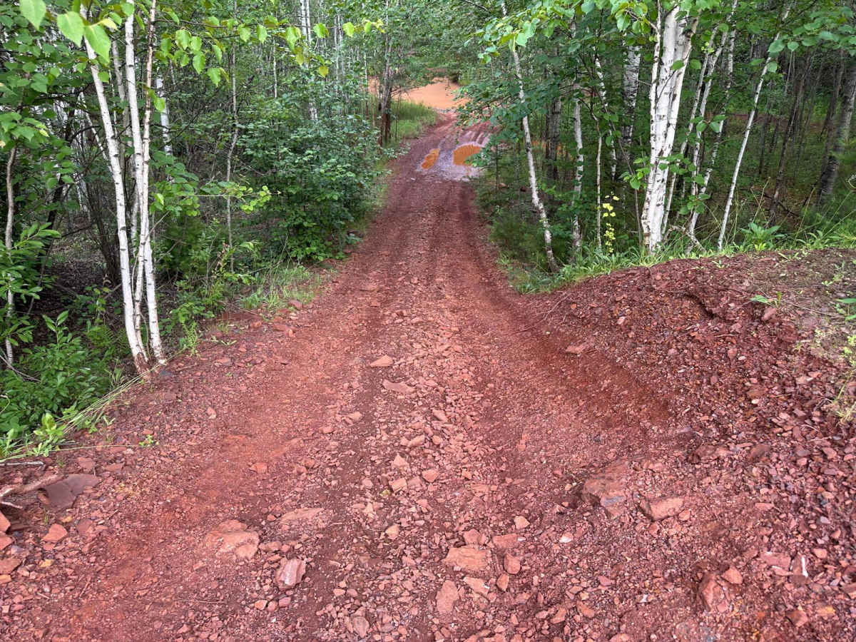
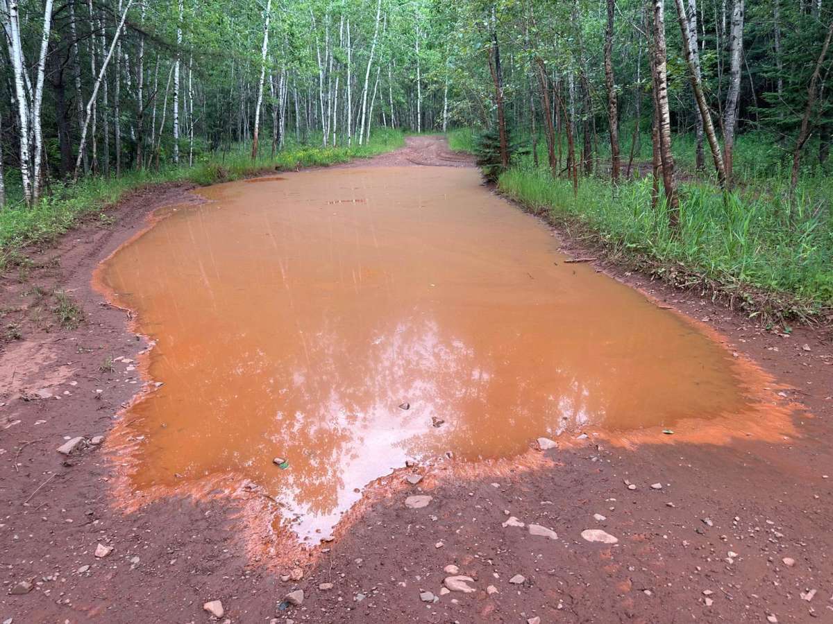
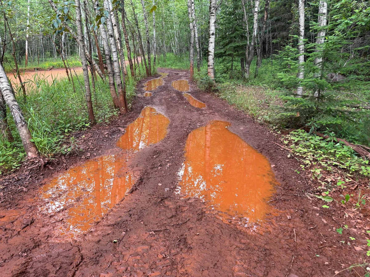
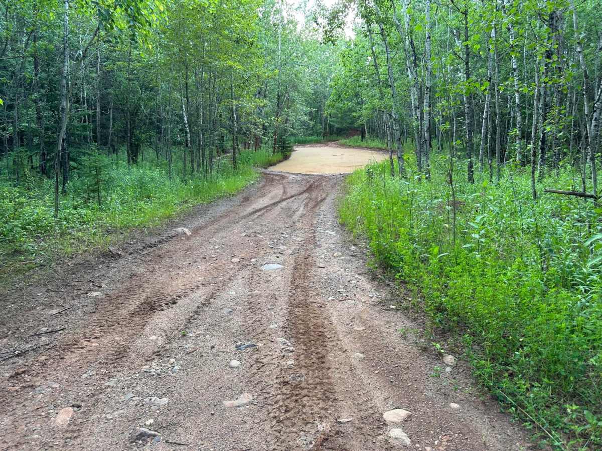
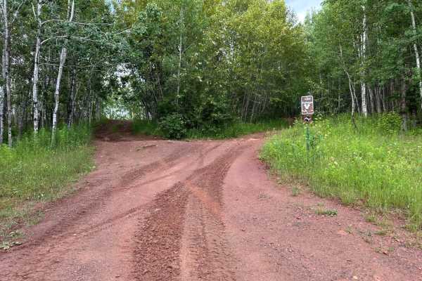
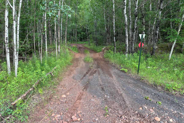
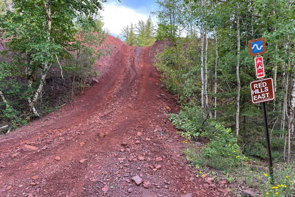
This trail offers a variety of terrain with several smaller hills scattered throughout the route. Along the way, you'll encounter multiple mud holes, some of which are deeper than they appear, especially after recent rainfall, so use caution when approaching standing water. One of the more challenging features on this trail is a steep hill climb that includes a directional turn partway up the incline. This can catch drivers off guard if they're not prepared, but signage is posted to alert you of the upcoming turn during the ascent. While not the most technical trail, it requires attention and careful driving.
Difficulty
This trail is moderately difficult. It includes some deep mud holes and a steep hill climb with a turn that requires careful driving. While there are no extreme obstacles, traction can be an issue after rain. Most 4WD vehicles should be fine with good tire placement and attention.
History
The Iron Range OHV Recreation Area was built on reclaimed mining land, once part of the rich Mesabi Iron Range that fueled U.S. steel production for over a century. Today, this 1,200+ acre site blends industrial history with outdoor adventure, offering a rare chance to ride through the remnants of Minnesota's mining legacy.

 Offroad