Trail Overview
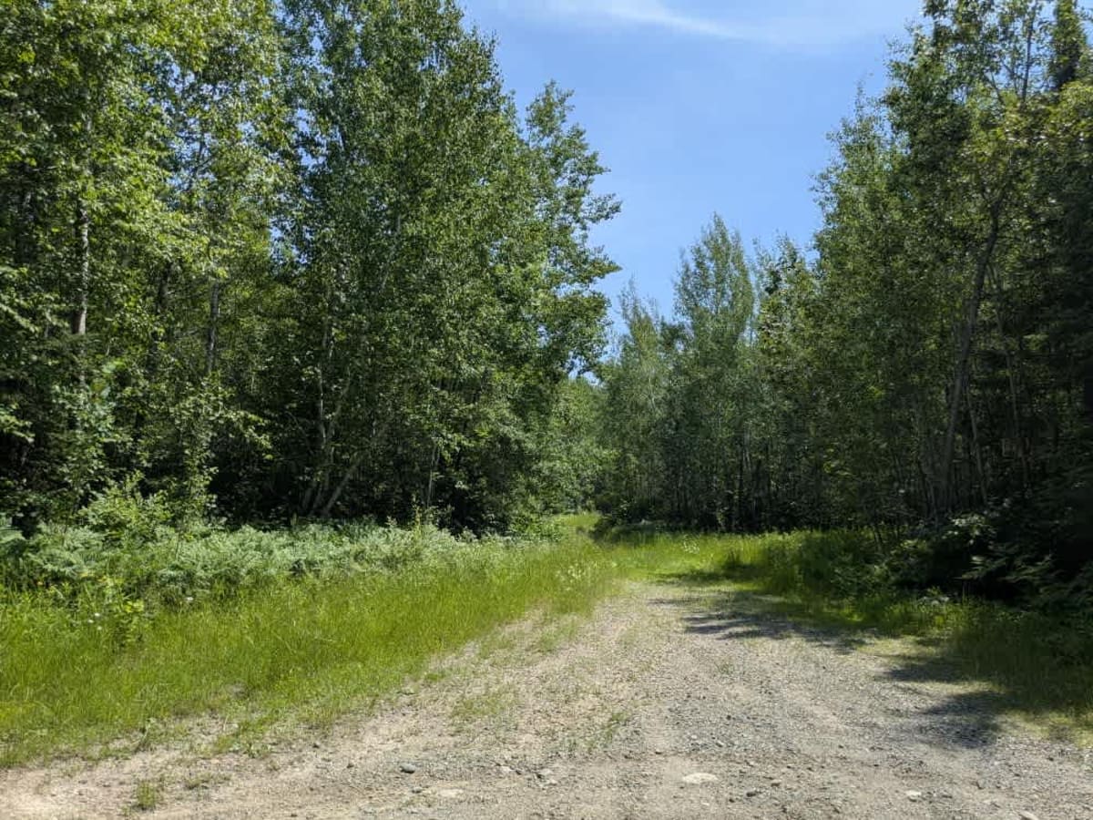
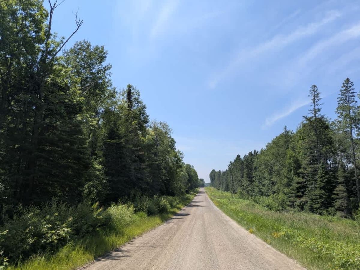
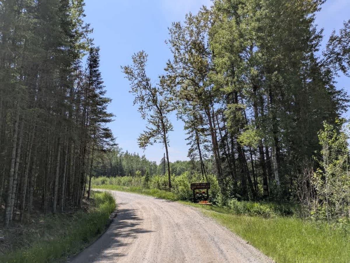
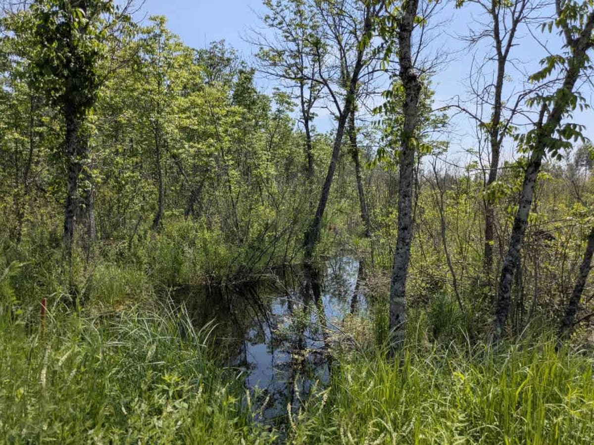
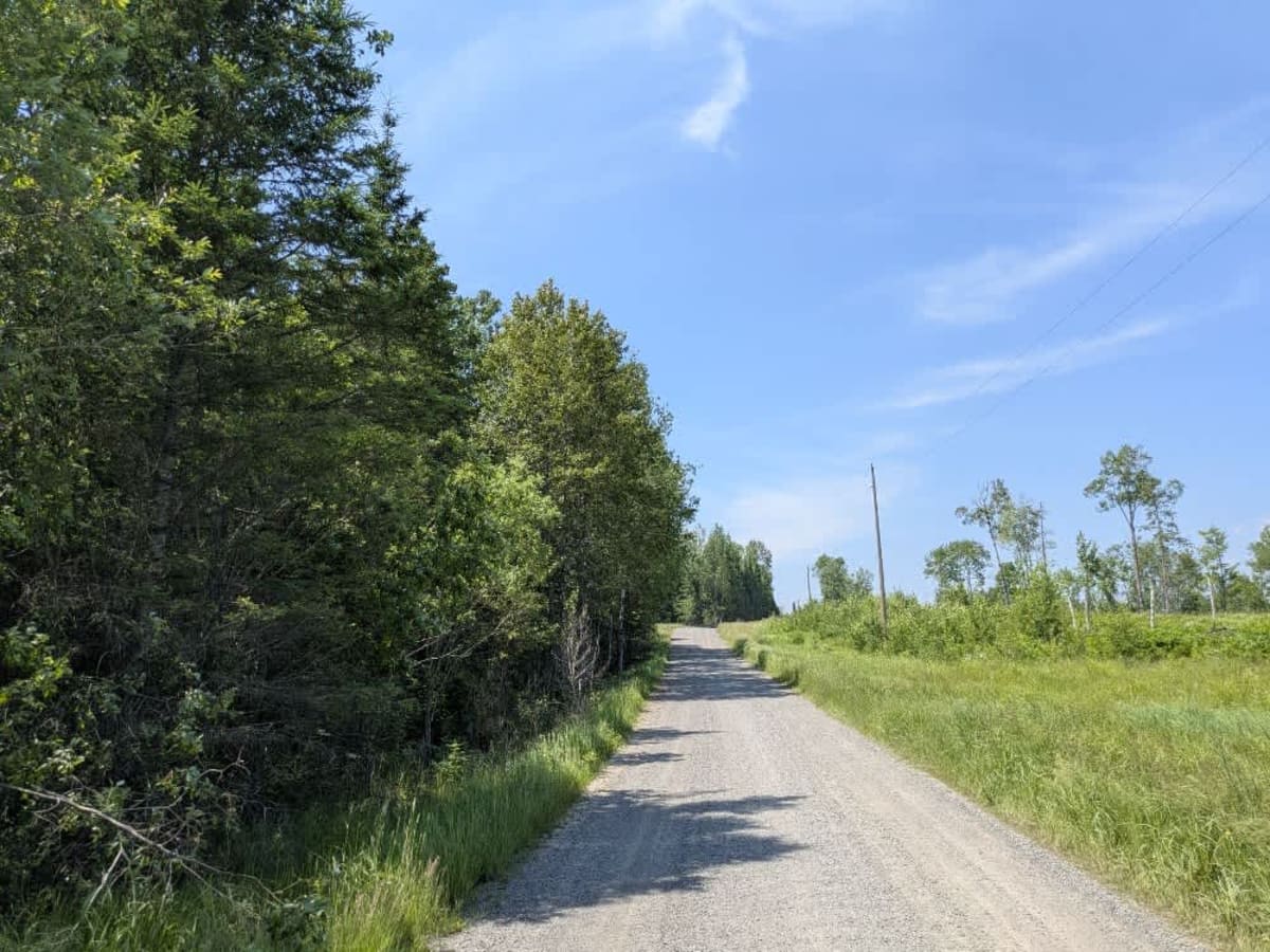
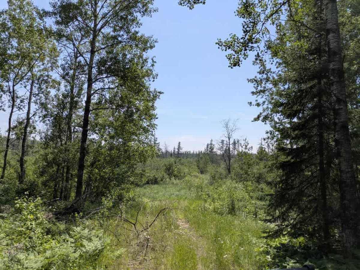
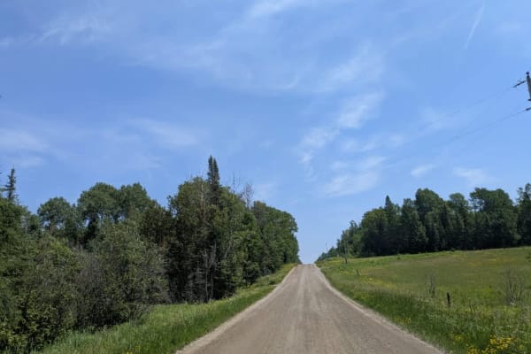
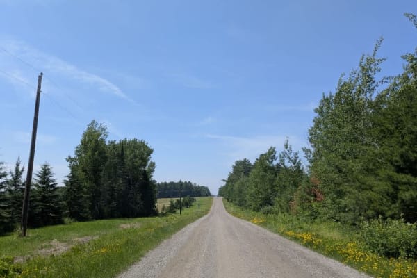
This trail is accessed from Long Lake Road and follows a narrow, bumpy route that remains relatively well-maintained with a gravel surface. It passes by a wetland area, and while it is not particularly technical, it can be soft in spots depending on recent rainfall. Two noticeable spurs are branching from the main trail--one near the entrance and another at the turnaround point--but both are heavily overgrown and likely to be waterlogged, making them better suited for winter use when the ground is frozen. The main trail runs past several well-kept homes situated along the edge of Long Lake. Although the lake is visible in places, there does not appear to be any public access to the shoreline from this route. The posted speed limit is 15 mph, and it's advisable to drive slowly out of respect for the residents. There are no formal or dispersed campsites along this trail, and no services, such as potable water, restrooms, or trash disposal, are available. Cell phone reception may be unreliable or entirely absent.
History
Superior National Forest was established in 1909 by President Theodore Roosevelt to protect the region's watersheds and natural resources after years of heavy logging and mining. The area has long been home to the Ojibwe people, who continue to maintain cultural ties to the land. In 1978, the Boundary Waters Canoe Area Wilderness within the forest was given added protection, making it one of the most visited wilderness areas in the U.S. today.