Trail Overview
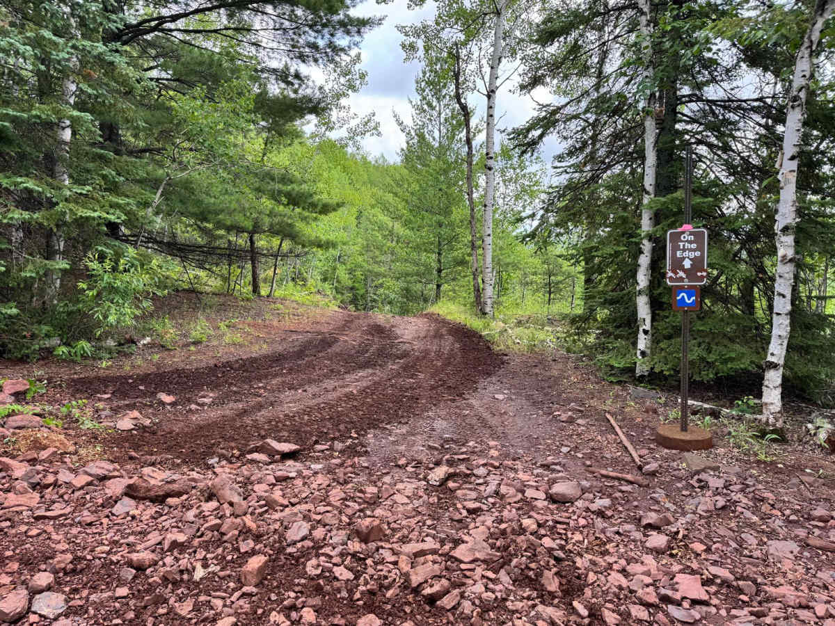
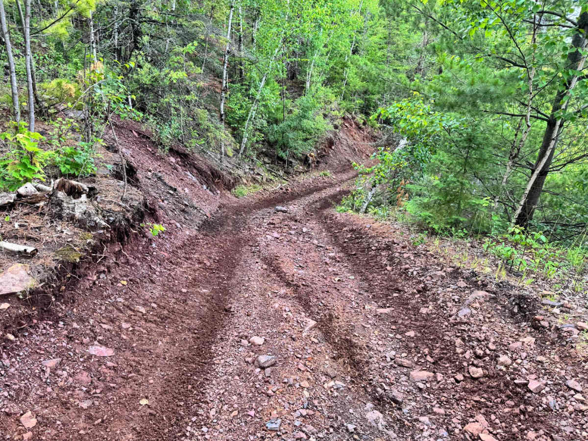
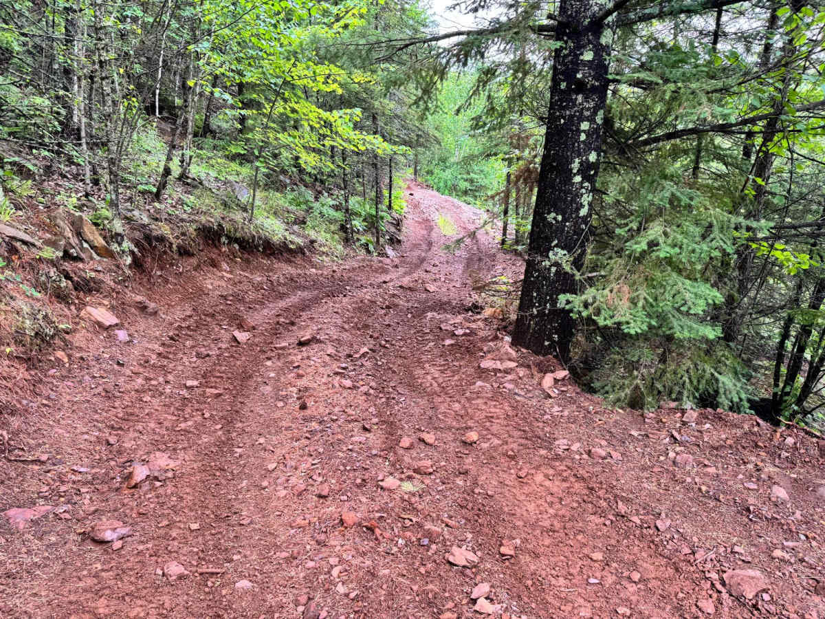
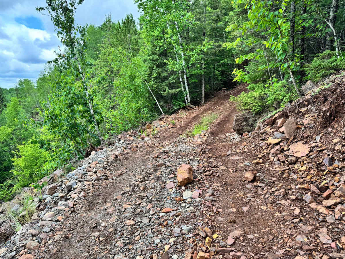
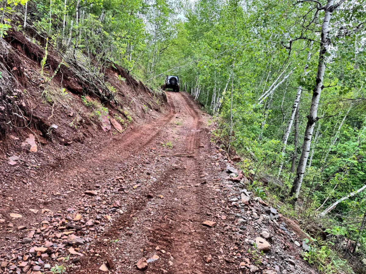
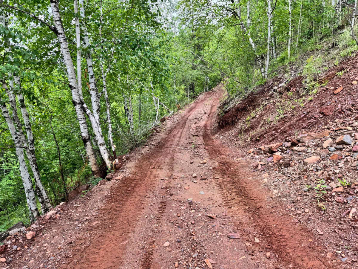
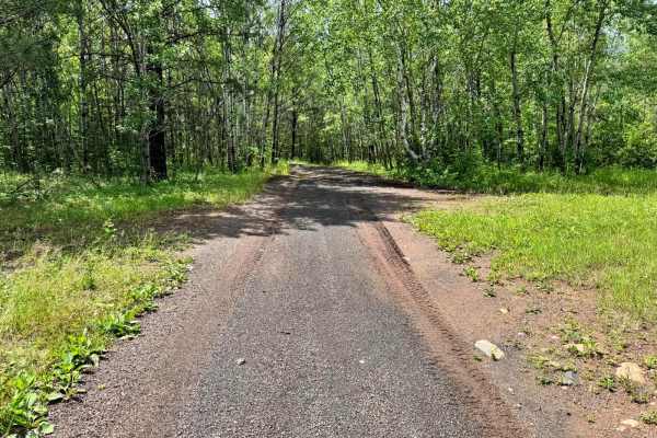
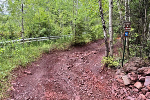
This trail offers a more intense experience compared to others in the area, with a rugged base made up of loose rock layered over dirt. It travels along a true shelf road that is only wide enough for a single vehicle, with very little room for error. Drivers must remain focused, as straying off line in certain sections could result in a rollover or a drop-off down the hillside. Near the end of the trail, you'll face a steep hill climb that adds to the challenge. Despite being in Minnesota, this trail delivers a dramatic mountain feel, evoking the high-alpine shelf roads typically found in Colorado. It's an exhilarating run that rewards precision and composure.
Difficulty
This trail is not for the faint of heart. With a loose rock-over-dirt surface and true single-vehicle-width shelf road conditions, it demands full attention from start to finish. There's minimal room for correction, stray too far off line, and you risk a rollover or worse. It's a trail where precision matters. The steep hill climb at the end adds an extra layer of intensity, especially in wet or loose conditions.
History
The Iron Range OHV Recreation Area was built on reclaimed mining land, once part of the rich Mesabi Iron Range that fueled U.S. steel production for over a century. Today, this 1,200+ acre site blends industrial history with outdoor adventure, offering a rare chance to ride through the remnants of Minnesota's mining legacy.