Trail Overview
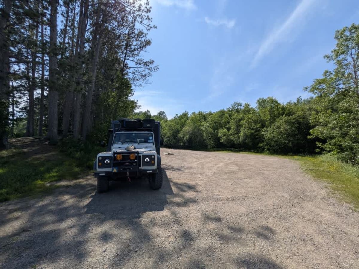
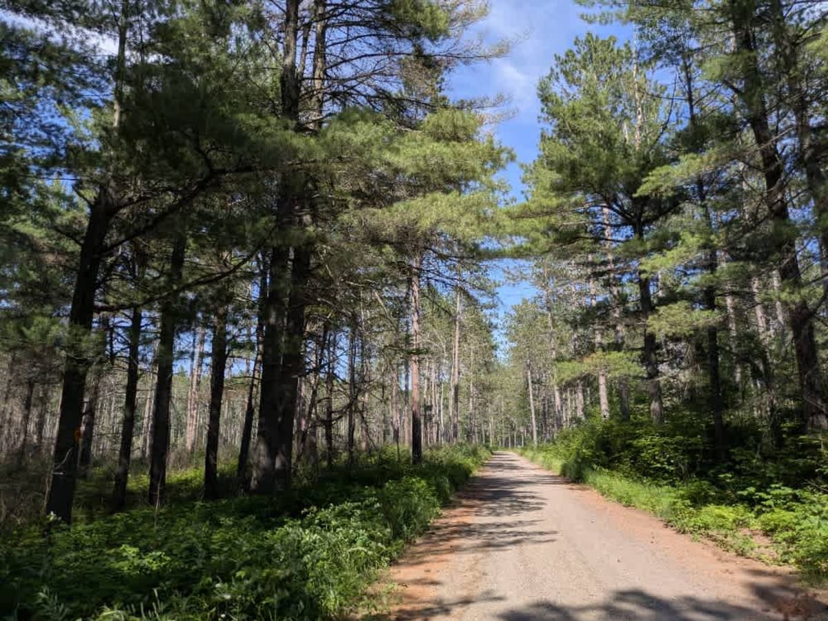
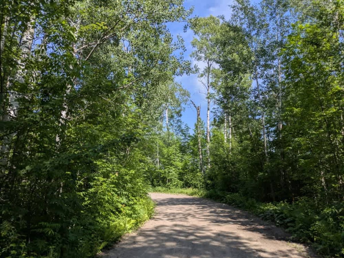
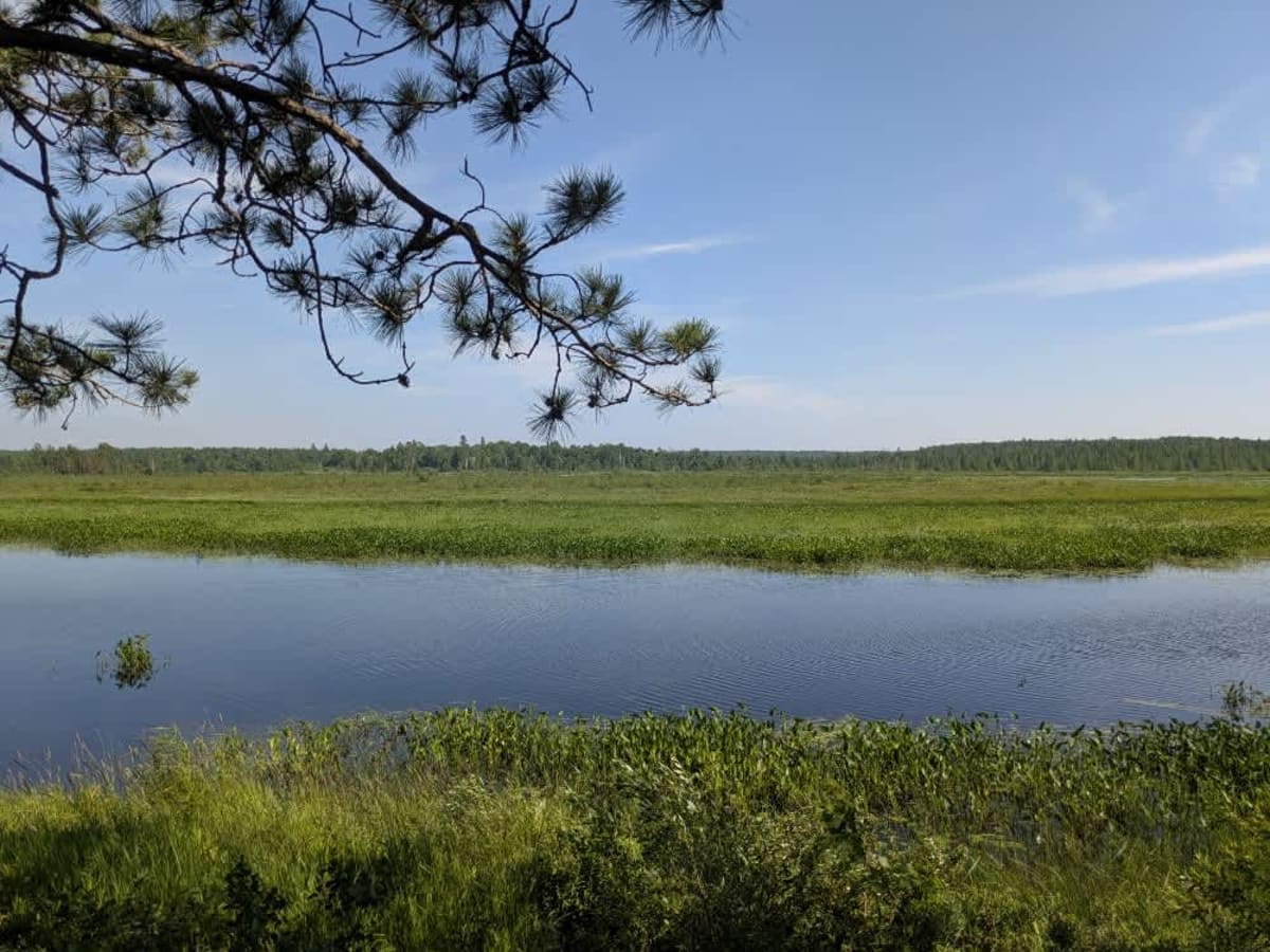
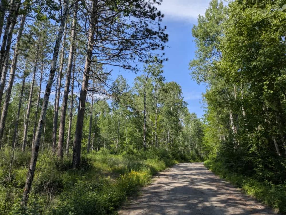
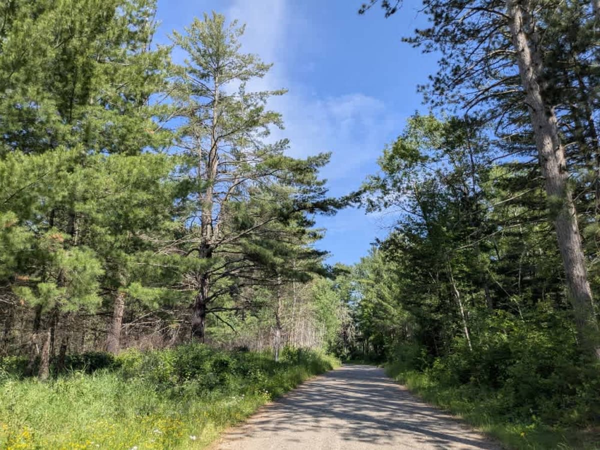
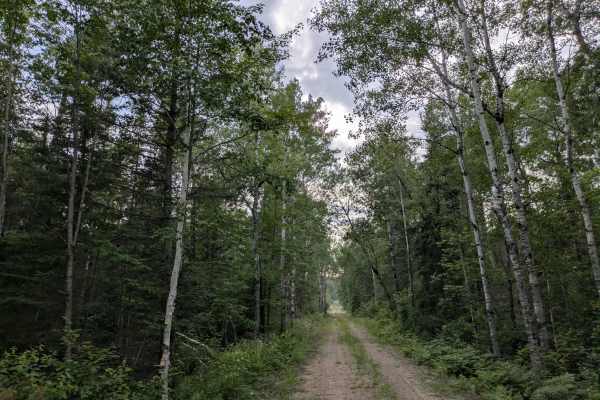
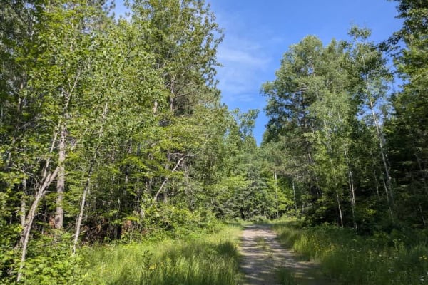
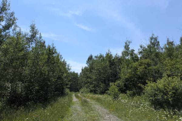
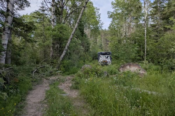
This trail is accessed from Mooseline Road and offers a scenic drive through the forest before descending toward the St. Louis River. The route is made up of well-maintained gravel and winds gently through wooded terrain, with a few muddy patches closer to the river's edge. While the trail itself is suitable for most vehicles, a narrower offshoot appears better suited for ATVs, side-by-sides, and snowmobiles. Insect activity can be high in the area, with numerous flying bugs and ticks; therefore, some precautions are recommended. At the end of the trail near the river, there is a large open area that serves as an excellent dispersed camping spot. Unlike most locations, this one features a few basic amenities, including a picnic table, a fire ring, a vault toilet, and a boat launch, all situated along the picturesque riverbank. Although it's not a formal campground, it's one of the more accommodating dispersed sites in the region. Dispersed camping is generally permitted in the Superior National Forest, provided you stay outside the Boundary Waters Canoe Area Wilderness and confirm current rules with local authorities. There are no services along the trail, and cell reception may be spotty or unavailable. If you choose to camp, be sure to follow Leave No Trace guidelines.
History
Superior National Forest was established in 1909 by President Theodore Roosevelt to protect the region's watersheds and natural resources after years of heavy logging and mining. The area has long been home to the Ojibwe people, who continue to maintain cultural ties to the land. In 1978, the Boundary Waters Canoe Area Wilderness within the forest was given added protection, making it one of the most visited wilderness areas in the U.S. today.