Trail Overview
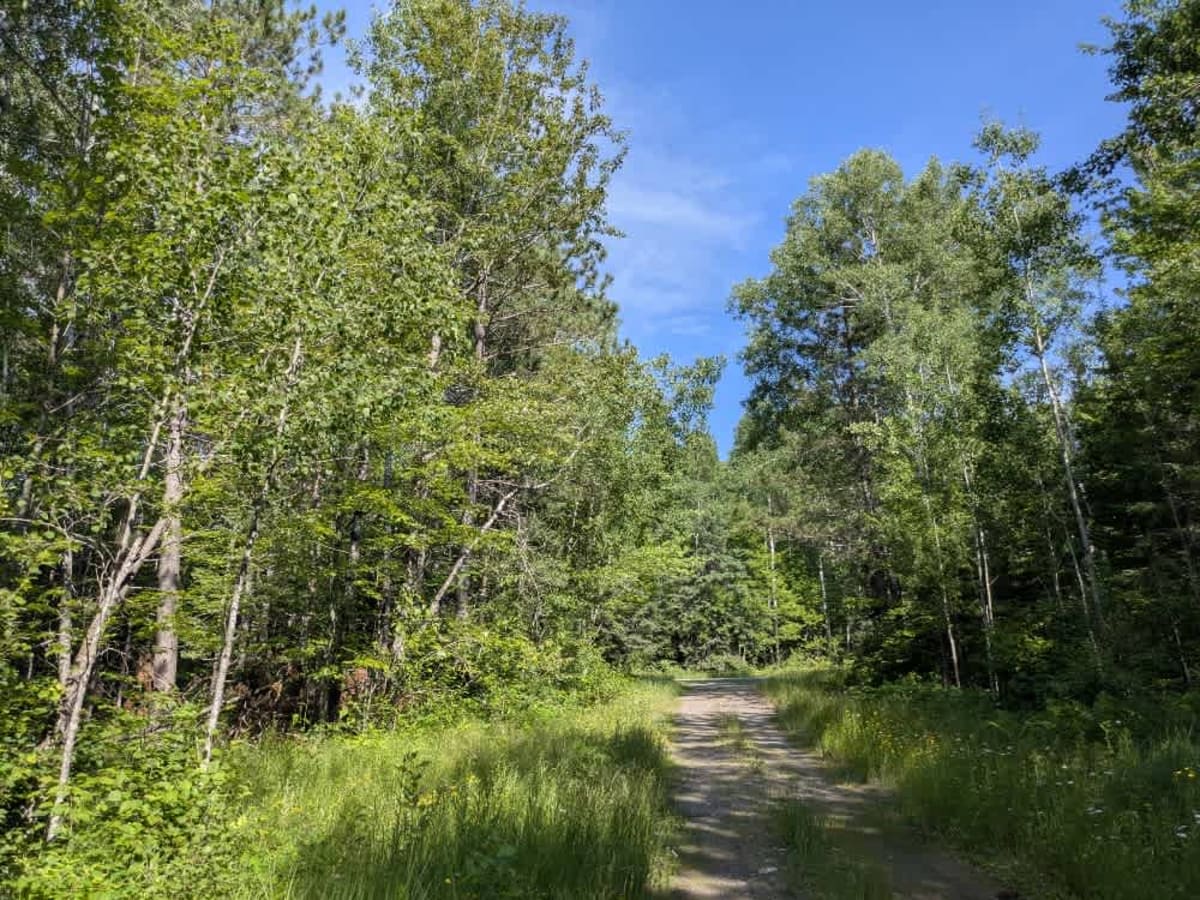
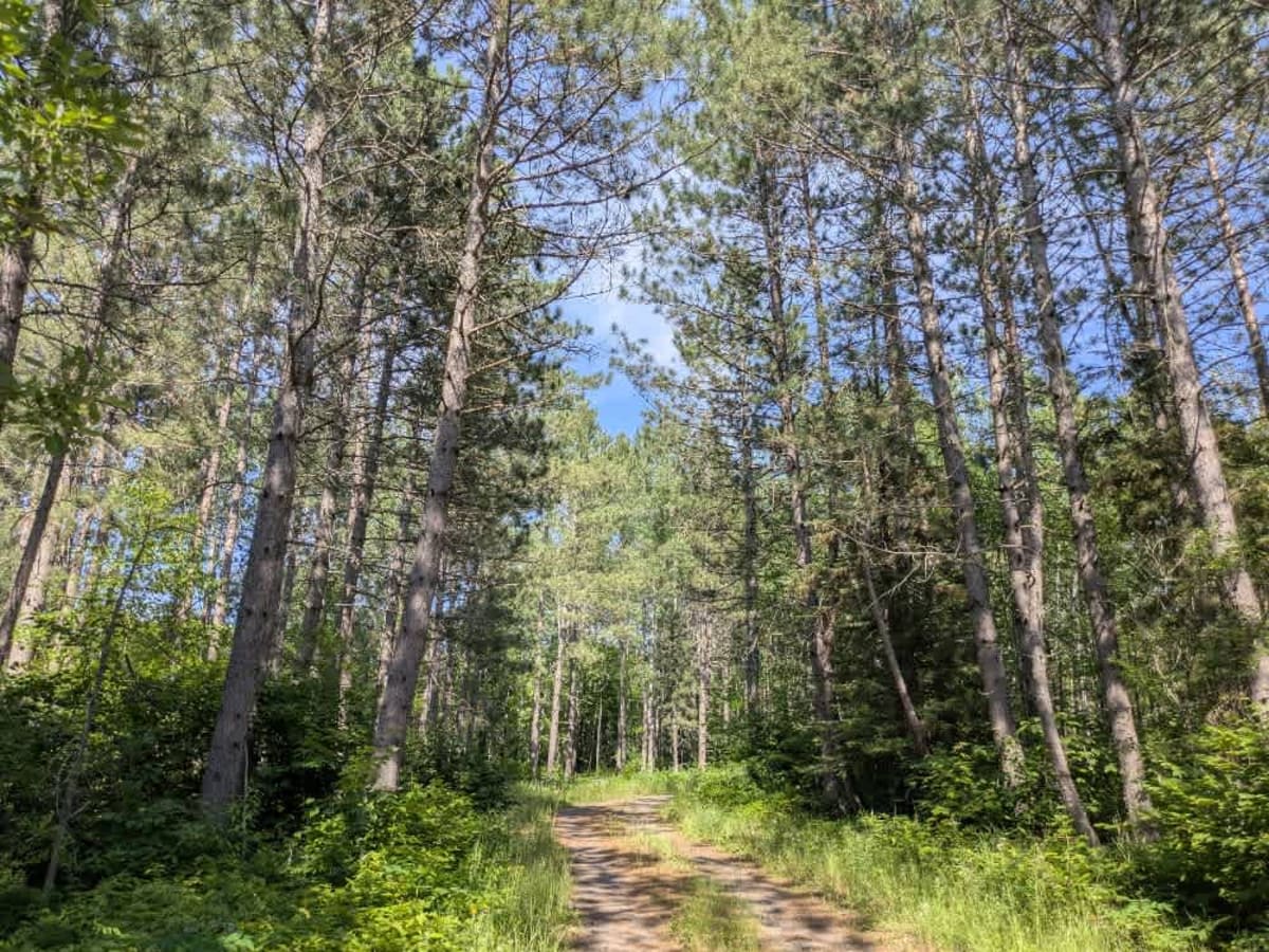
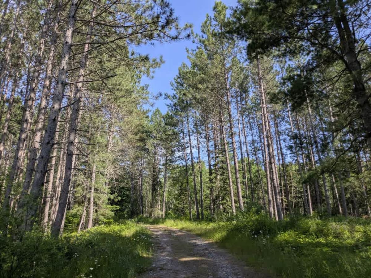
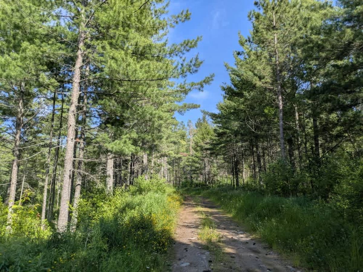
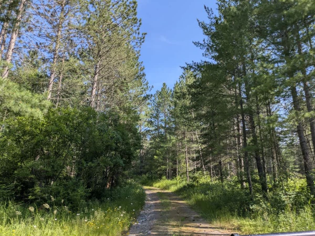
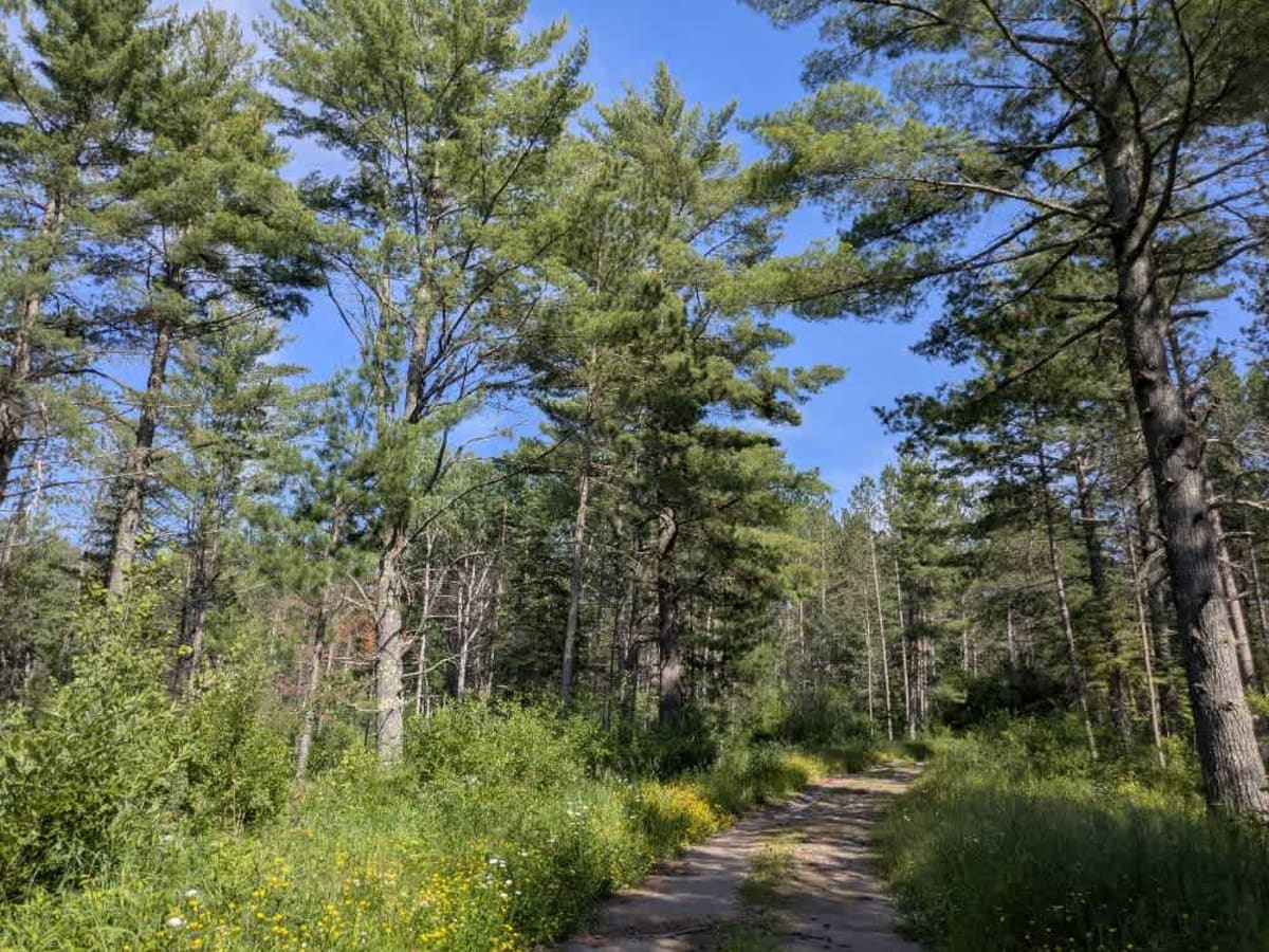
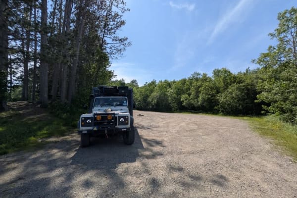
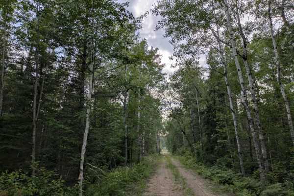
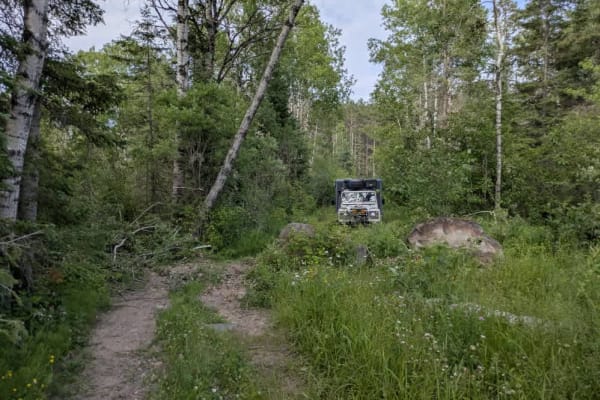
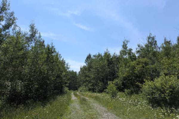
This trail begins off Mooseline Road and offers a pleasant drive through mature forest. Despite being unmaintained, the surface is generally smooth, with a few narrow, rocky stretches and occasional bumps and curves. In summer, wildflowers add color along the edges, and the vegetation is not overly dense, allowing for good visibility through the trees. A snowmobile trail intersects the route, offering additional opportunities to explore the area. The trail eventually comes to a dead end at a small, flat clearing that is a suitable spot for dispersed camping. Judging by the condition of the trail and the presence of barriers, the route may have been intentionally closed off past that point. While there are no designated campsites or facilities, dispersed camping is typically permitted in the Superior National Forest, provided it is outside the Boundary Waters Canoe Area Wilderness. Always check with local authorities beforehand. There are no facilities along the trail, and cell service may be limited or unavailable. Campers should follow Leave No Trace principles.
History
Superior National Forest was established in 1909 by President Theodore Roosevelt to protect the region's watersheds and natural resources after years of heavy logging and mining. The area has long been home to the Ojibwe people, who continue to maintain cultural ties to the land. In 1978, the Boundary Waters Canoe Area Wilderness within the forest was given added protection, making it one of the most visited wilderness areas in the U.S. today.